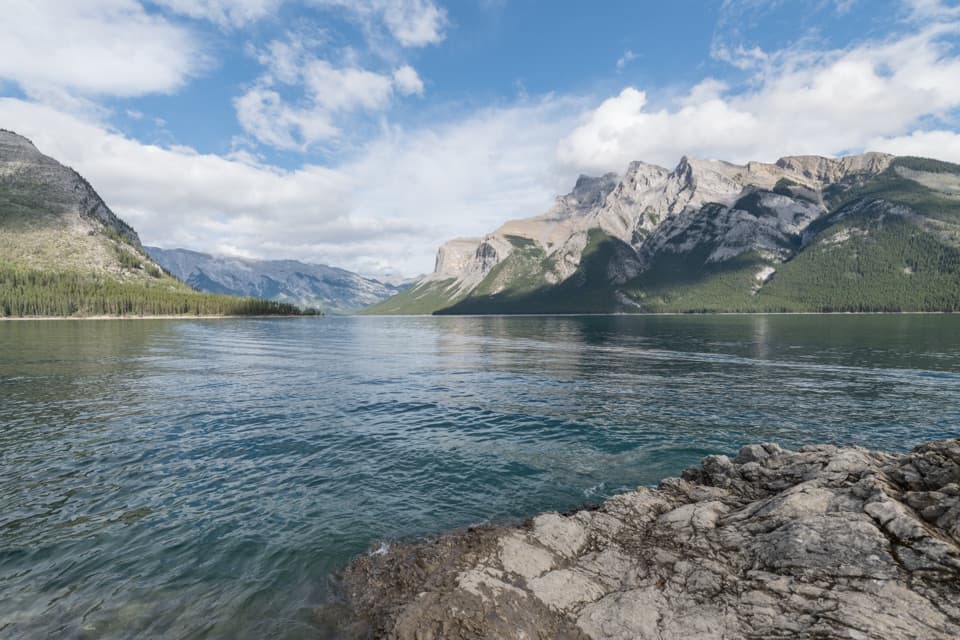
Lake Minnewanka Shoreline Trail in Banff National Park

Banff National Park, AB

Lake Minnewanka Shoreline Trail

A long, rocky shoreline walk with annual bear-season restrictions.

Photo: Wikimedia Commons
Length
22.2km
Time
7.5hr
Elev. change
113m
Difficulty
Moderate
  • Dogs allowed
  • High point 1,599 m

Hear the audio tour

Lake Minnewanka: Shore, Boats and a Sunken Village

Overview

About Lake Minnewanka Shoreline Trail

Why go

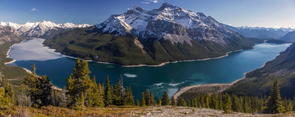
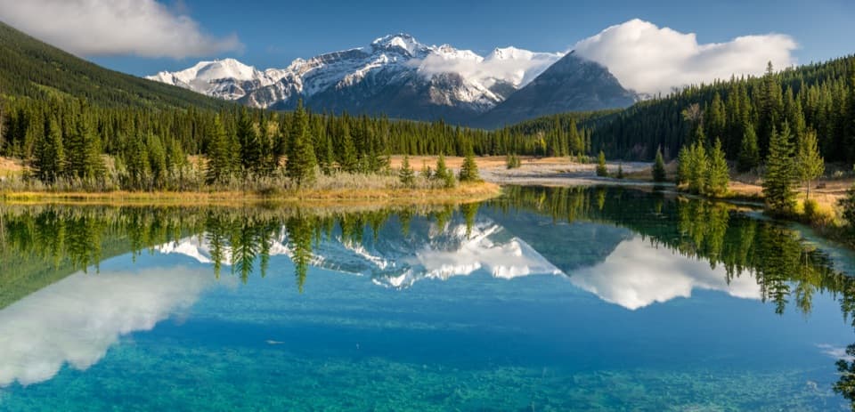
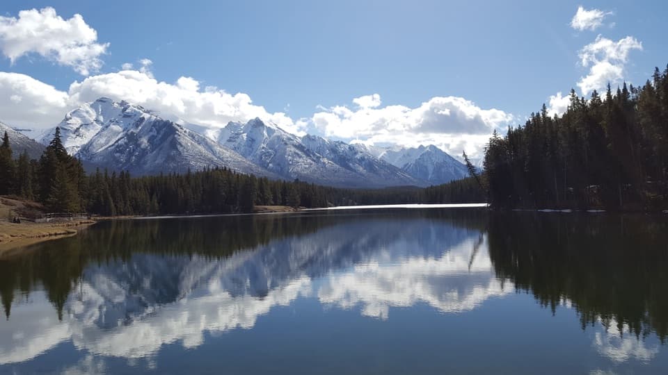
  • A long lakeshore walk with views toward Cascade Mountain and Mt. Inglismaldie.
  • Three official campground turnarounds make the distance adjustable.

Heads up

  • The full option is a 22.2 km return on rocky, rolling ground.
  • The summer bear restriction requires a group of four and bear spray beyond the bridge.

Map & elevation

The route

Loading the Banff map
Full map
Elevation1,486–1,599 m
TrailheadLake Minnewanka Day-use Area51.24794, -115.50035
Keep this map with you offline in the Parkwolf app

Plan your hike

Before you go

Parking

Start at Lake Minnewanka Day-use Area, off Lake Minnewanka Road about 10 km northeast of Banff. Follow the paved approach past the dock and picnic area to the shore trail. Parking is limited and fills quickly; Roam Route 6 serves the area in summer.

Best time to go

From July 10 to September 15 each year, hiking beyond Stewart Canyon Bridge requires groups of at least four, with no more than 3 m between people (closer where sight or hearing is limited), and bear spray. Dogs and bikes are prohibited beyond the bridge during this period. Outside those dates, dogs must stay on leash in Banff. The restrictions protect a grizzly core area where bears feed on berries and raise cubs.

Safety

Beyond Stewart Canyon Bridge, July 10 to September 15: travel in groups of at least four, stay within 3 m of one another (closer if visibility or hearing is limited), and carry bear spray. Dogs and bikes are prohibited beyond the bridge during that period. Rocky and rooty sections are partly exposed. Treat surface water before drinking.

8 active Banff alerts

  • ClosureJohnston Canyon Trail and Day Use Area closedJohnston Canyon Trail and Day Use Area are closed to all traffic and travel through December 11, 2026, because construction work requires protecting public and workers’ safety.Official details
  • ClosureBaker Lake and Hidden Lake campgrounds closed to campingCamping is prohibited at Baker Lake and Hidden Lake campgrounds through December 1, 2026, because a grizzly bear entered campsites and investigated tents and gear; the closures reduce risk to…Official details
See all 8 alerts
A park ranger sits on a dash-mounted phone, talking, as Parkwolf’s Tour Guide plays “Army Cutworm Moths: A Grizzly Bear Buffet” on Grand Loop Road below Dunraven Pass in Yellowstone
Parkwolf Tour GuideThe highest, rockiest slopes around here are a summer buffet for grizzly bears.

Banff Tour Guide

Your drive to Lake Minnewanka Shoreline Trail, narrated.

Parkwolf is a GPS audio tour guide for Banff National Park. As you drive, it chimes in with what’s ahead: hidden gems, upcoming stops, history, geology, and wildlife, right through your car’s speakers.

See the Banff audio tour

Recorded for this trailhead

Lake Minnewanka: Shore, Boats and a Sunken Village
0:00 / 0:29
“Lake Minnewanka is coming up, with a broad mountain shoreline you can enjoy without taking a boat. In the boating season, cruises leave from the waterfront and Black Anchor Snack Shop serves takeaway snacks and drinks.”

Plays as you drive up to this trailhead in the Parkwolf Banff Tour Guide.

More stories near here in the app

  • Upper Bankhead: Lunch or C-Level Cirque
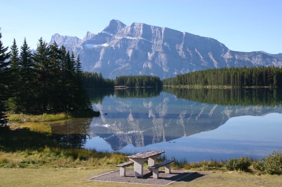
  • Two Jack Lake: A Picnic by Mount Rundle
  • Lower Bankhead: Where the Town Went
  • Two Jack Campgrounds: Lakeside or Main
  • 185 audio storiesacross Banff’s roads, triggered by GPS as you drive
  • Wildlife heatmapsfor Grizzly Bear, Brown Bear, Gray Wolf, and 13 more
  • Works offlinemaps, 162 trails, 90 places, and audio download before you lose signal
  • CarPlay readysimple controls built for the drive
★★★★★
“…Loved the commentary as you drove thru. I’m sure the app can do more than I know but the tips were very helpful. I’m gonna use it when we go to Banff next month.”
tesja22App Store review
Download Parkwolf on the App StoreGet Parkwolf on Google Play

4.7 from 8,600+ ratings

Trail guide

Hiking Lake Minnewanka Shoreline Trail

Choose your distanceLake Minnewanka Shoreline Trail is a rolling lakeshore out-and-back from Lake Minnewanka…

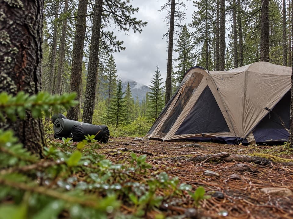
Lake Minnewanka Shoreline Trail is a rolling lakeshore out-and-back from Lake Minnewanka Day-use Area to the Mt. Inglismaldie backcountry campground, LM11. The longest official option is 11.1 km one way, 22.2 km (13.8 miles) there and back; allow seven to nine hours with breaks. Two shorter official turnarounds are Aylmer Pass Junction (LM8, 7.8 km one way) and Aylmer Canyon (LM9, 9 km one way). This is a long backcountry day, not the short bridge walk.

First, reach Stewart Canyon BridgeThe approach begins with about 800 m of paved road through the day-use area, past the dock and…

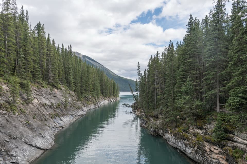
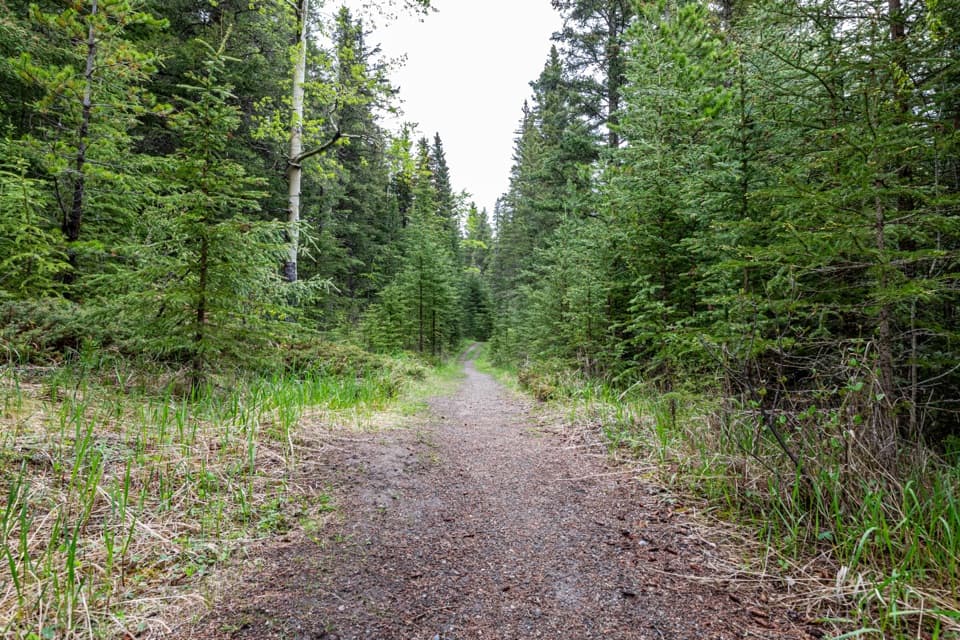
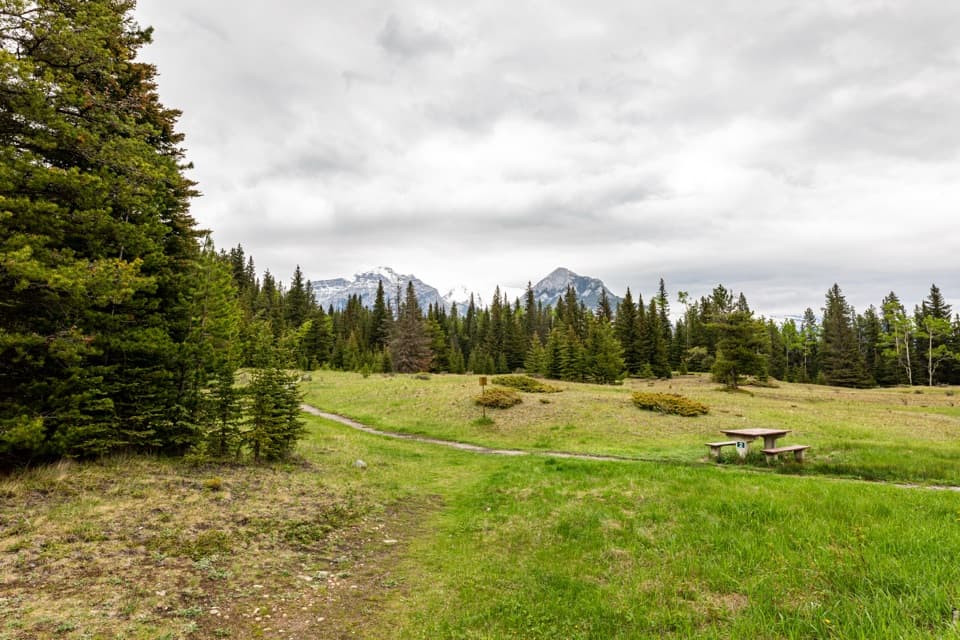
The approach begins with about 800 m of paved road through the day-use area, past the dock and picnic area, then changes to a hard natural trail. Parts are exposed, and rocky, rooty footing starts about a kilometre in. At roughly 1.6 km, Stewart Canyon Bridge crosses the Cascade River where it enters the lake. The shorter Stewart Canyon outing turns around here; for the shoreline trail, cross the bridge and continue along the lake.

Walk the shore to LM11Beyond the bridge the path climbs about 46 m through forest regrowing after a controlled burn…

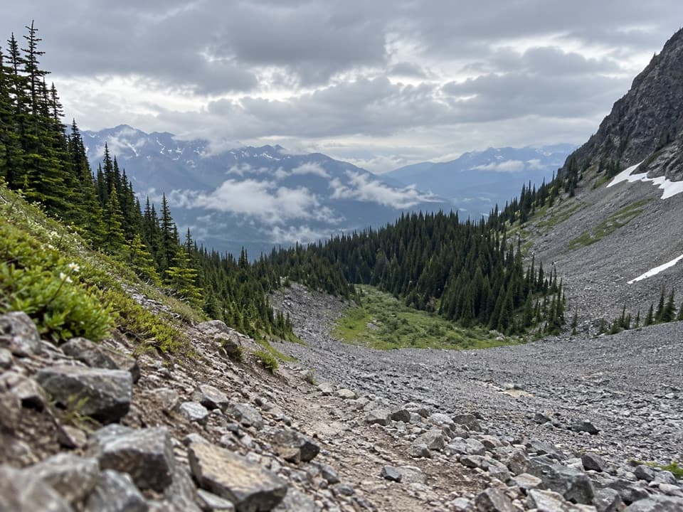
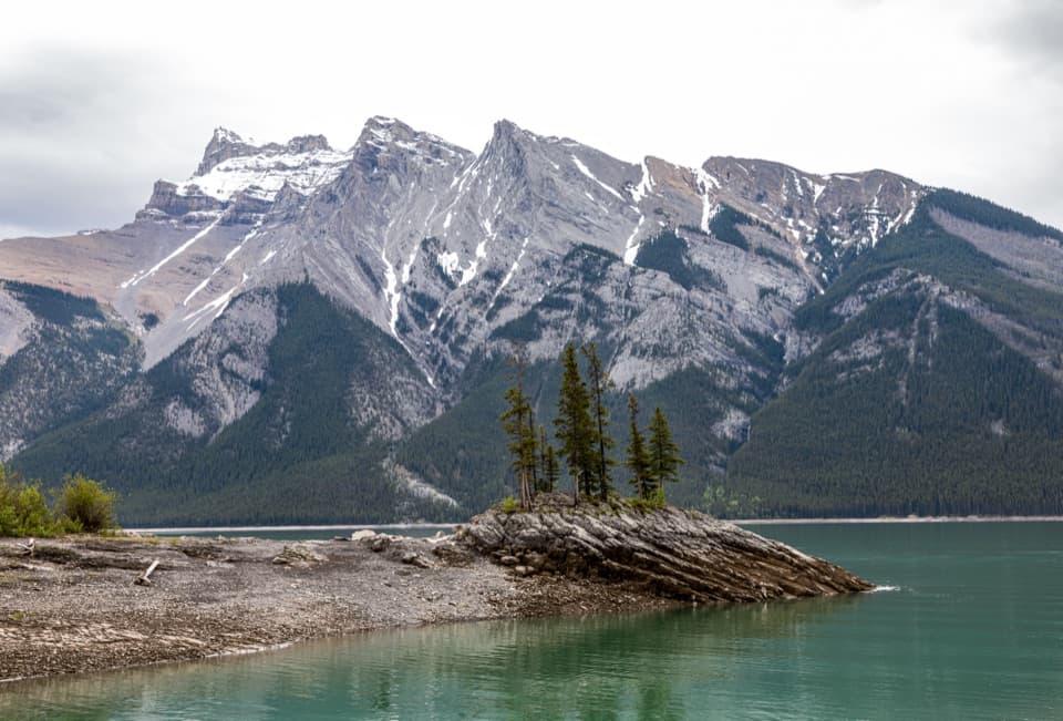
Beyond the bridge the path climbs about 46 m through forest regrowing after a controlled burn in 2003, then rolls over rocky ground with repeated short ups and downs. The trees thin enough in places for broad views of Cascade Mountain and the opposite shore. A beach spur near LM8 makes a natural earlier stop; continuing brings you past LM9 to LM11 at 11.1 km. The campgrounds are useful goals for the shoreline route, and the measured length here stops at LM11 rather than including routes farther into the backcountry. Turn around there and retrace the same path.

The lake beneath the trailLake Minnewanka is nearly 24 km long and 142 m deep.

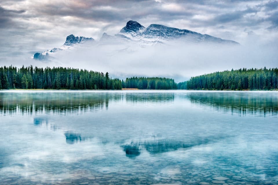
Lake Minnewanka is nearly 24 km long and 142 m deep. Dams raised its water level and submerged Minnewanka Landing, once a resort town on the shore. The view across to Mt. Inglismaldie is a good reason to pause on the early lakeside stretch; include some rocky shore in a photo so the broad lake has scale.

Wildlife

Wildlife in Banff

All Banff wildlife maps

Sighting maps show where each species has been reported across Banff. Wildlife moves, so no sighting is guaranteed.

Keep exploring

Near Lake Minnewanka Shoreline Trail

See it all on the map

Trails that start nearby

Places near the trailhead

Parkwolf’s Banff ranking

Top-rated trails in Banff

All 162 trails
  1. 1Sentinel Pass via Larch Valley TrailChallenging · 11.2 km
  2. 2Plain of Six Glaciers TrailModerate · 11.6 km
  3. 3Lake Agnes TrailModerate · 7.8 km
  4. 4Johnston Canyon Trail to Upper FallsEasy · 4.8 km
  5. 5Larch Valley / Minnestimma Lakes TrailModerate · 9 km
  6. 6Parker Ridge TrailModerate · 5.6 km

Take Parkwolf to Banff.

The audio tour guide for the drive, plus offline maps, trails, and wildlife heatmaps for when the signal drops.

4.7 from 8,600+ ratings

Download Parkwolf on the App StoreGet Parkwolf on Google Play