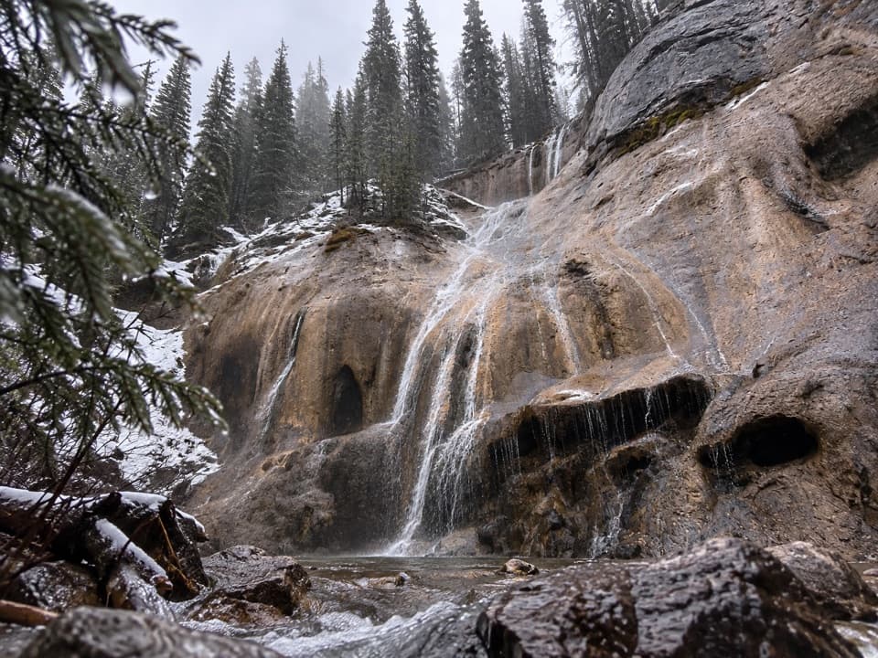
Tessa Falls Trail in Banff National Park

Banff National Park, AB

Tessa Falls Trail

A short waterfall walk with an awkward riverbank finish.

Length
1.4km
Time
45min
Elev. change
21m
Difficulty
Moderate
  • High point 1,464 m

Hear the audio tour

Lake Minnewanka: Shore, Boats and a Sunken Village

Overview

About Tessa Falls Trail

Why go

  • A short approach reaches a view of multi-tier Cascade River chutes.
  • The semi-open ridge gives the walk more variety than a straight forest path.

Heads up

  • The unsigned access and roadside parking permission are unclear.
  • A steep, awkward riverbank and an unreliable crossing complicate the finish.

Map & elevation

The route

Loading the Banff map
Full map
Elevation1,443–1,464 m
TrailheadUnmarked Lake Minnewanka Loop Road pullout near Cascade Fireroad51.24449, -115.50928
Keep this map with you offline in the Parkwolf app

Plan your hike

Before you go

Parking

The reported start is an unmarked pullout on Minnewanka Loop Road, about 1 km below the main Lake Minnewanka lot near Cascade Fireroad. Permission to park there is unconfirmed; check current Parks Canada restrictions before stopping. A winter road gate may add roughly 1 km each way on foot from the main lot.

Best time to go

The pullout is about 1 km below the main Lake Minnewanka parking area, near the Cascade Fireroad access. When the Minnewanka Scenic Road is gated to vehicles in winter, the reported approach adds about 1 km of walking each way from the main lot, and the road is used for cross-country skiing. Gate dates and permission to park at the unsigned pullout are not confirmed. No facilities on the route were found, and the dog rule for this path could not be verified.

Safety

This is an unsigned, unsanctioned path, and lawful public access at the pullout has not been confirmed. The route ends above a steep, awkward Cascade River embankment that can be slippery or icy. The falls are across the river; do not rely on the reported improvised log crossing. The dog rule is unverified.

8 active Banff alerts

  • ClosureJohnston Canyon Trail and Day Use Area closedJohnston Canyon Trail and Day Use Area are closed to all traffic and travel through December 11, 2026, because construction work requires protecting public and workers’ safety.Official details
  • ClosureBaker Lake and Hidden Lake campgrounds closed to campingCamping is prohibited at Baker Lake and Hidden Lake campgrounds through December 1, 2026, because a grizzly bear entered campsites and investigated tents and gear; the closures reduce risk to…Official details
See all 8 alerts
A park ranger sits on a dash-mounted phone, talking, as Parkwolf’s Tour Guide plays “Army Cutworm Moths: A Grizzly Bear Buffet” on Grand Loop Road below Dunraven Pass in Yellowstone
Parkwolf Tour GuideThe highest, rockiest slopes around here are a summer buffet for grizzly bears.

Banff Tour Guide

Your drive to Tessa Falls Trail, narrated.

Parkwolf is a GPS audio tour guide for Banff National Park. As you drive, it chimes in with what’s ahead: hidden gems, upcoming stops, history, geology, and wildlife, right through your car’s speakers.

See the Banff audio tour

Recorded for this area

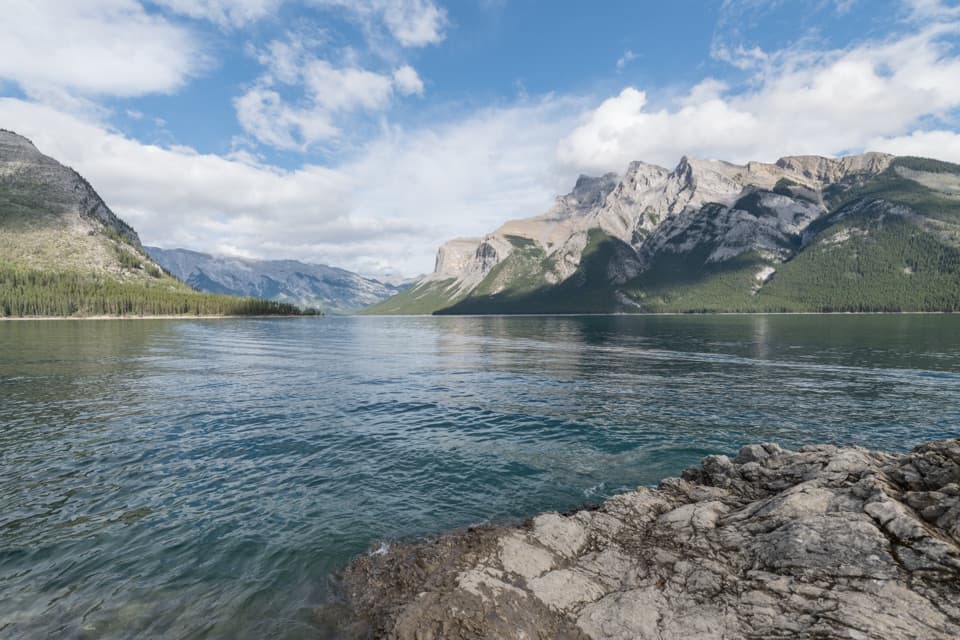
Lake Minnewanka: Shore, Boats and a Sunken Village
0:00 / 0:29
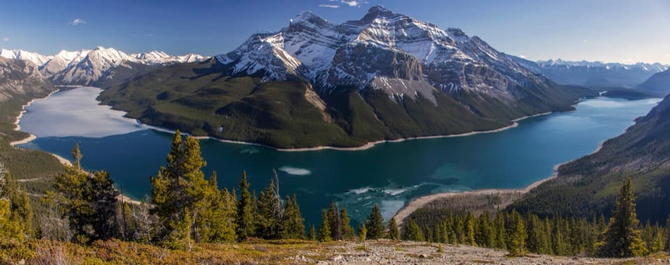
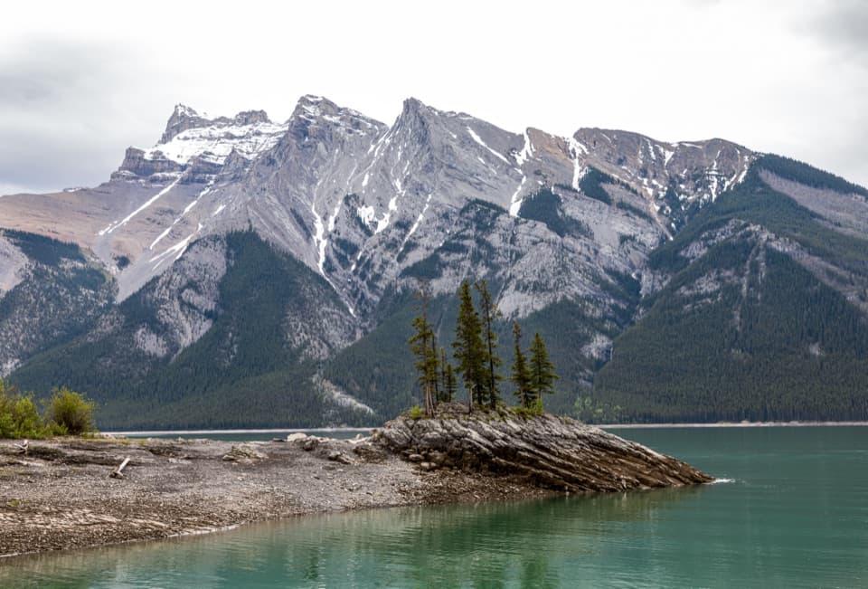
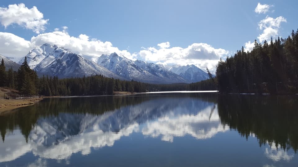
“Lake Minnewanka is coming up, with a broad mountain shoreline you can enjoy without taking a boat. In the boating season, cruises leave from the waterfront and Black Anchor Snack Shop serves takeaway snacks and drinks.”

Plays on the road 0.7 km from the trailhead in the Parkwolf Banff Tour Guide.

More stories near here in the app

  • Upper Bankhead: Lunch or C-Level Cirque
  • Lower Bankhead: Where the Town Went
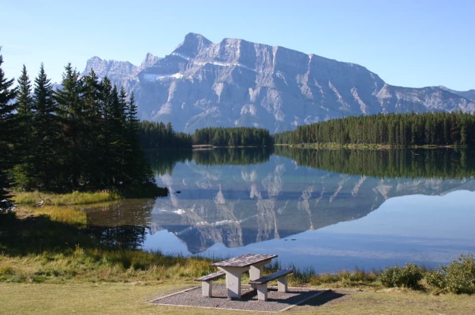
  • Two Jack Lake: A Picnic by Mount Rundle
  • Two Jack Campgrounds: Lakeside or Main
  • 185 audio storiesacross Banff’s roads, triggered by GPS as you drive
  • Wildlife heatmapsfor Grizzly Bear, Brown Bear, Gray Wolf, and 13 more
  • Works offlinemaps, 162 trails, 90 places, and audio download before you lose signal
  • CarPlay readysimple controls built for the drive
★★★★★
“…Loved the commentary as you drove thru. I’m sure the app can do more than I know but the tips were very helpful. I’m gonna use it when we go to Banff next month.”
tesja22App Store review
Download Parkwolf on the App StoreGet Parkwolf on Google Play

4.7 from 8,600+ ratings

Trail guide

Hiking Tessa Falls Trail

A quick waterfall outingTessa Falls is a 0.

Tessa Falls is a 0.9-mile out-and-back to a view of the Cascade River chutes near Lake Minnewanka. The mapped path runs about 0.44 mile one way through semi-open forest to the north bank; allow 30 to 60 minutes from the roadside start. This is an unsigned, unsanctioned route with unclear public access, so check that the approach and parking are allowed before setting out. I’d choose it only if you’re comfortable with that uncertainty and a rough finish.

The approach and the steep finishThe path begins at an unmarked pullout on Minnewanka Loop Road, near Cascade Fireroad.

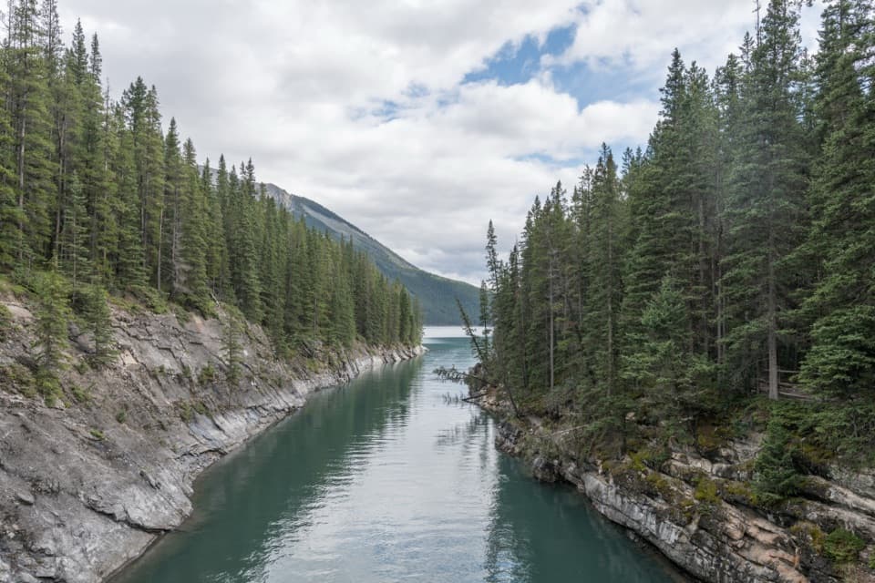
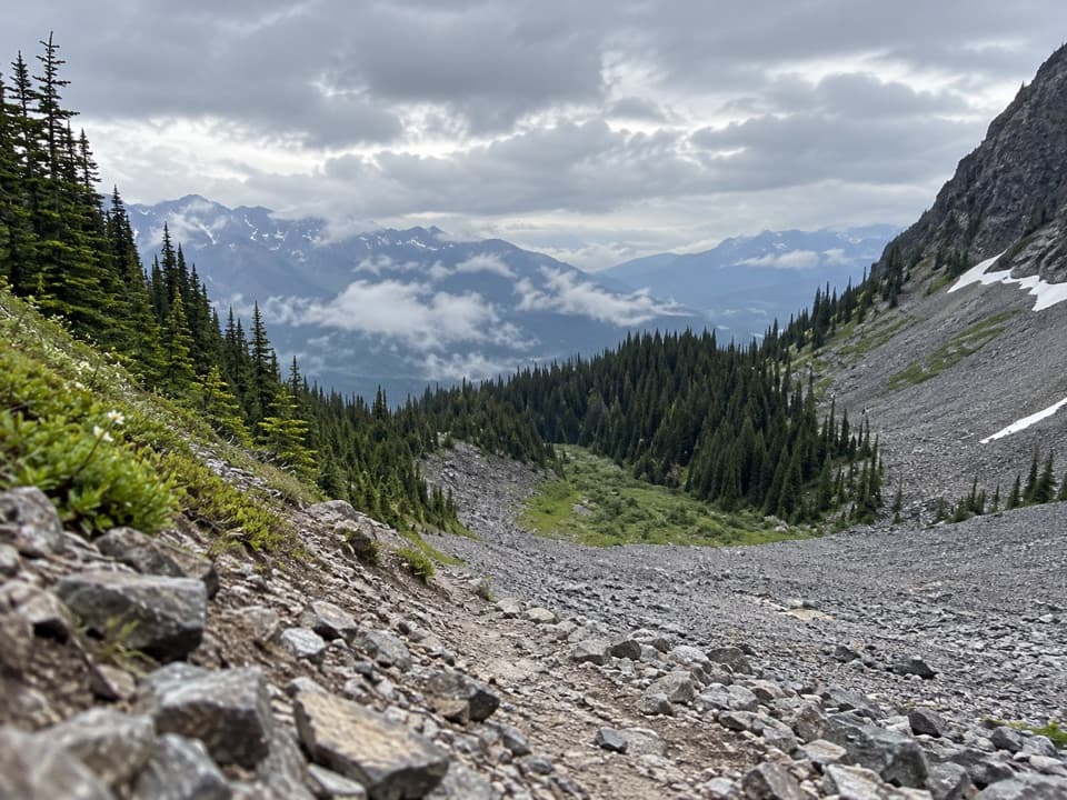
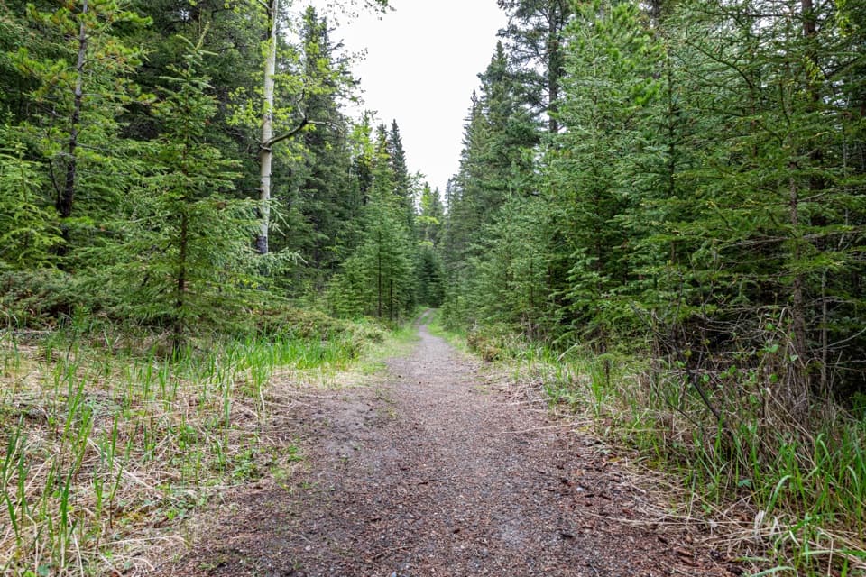
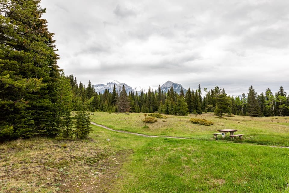
The path begins at an unmarked pullout on Minnewanka Loop Road, near Cascade Fireroad. It rises and dips along a semi-open forested ridge for roughly ten minutes, then reaches the top of a steep Cascade River embankment. The last drop is short but awkward, and can be slippery or icy. The saved route ends at the north-bank viewpoint above the river.

Seeing Tessa FallsThe falls are a set of chutes on the far side of the river.

The falls are a set of chutes on the far side of the river. From the north bank, you can look across at the rock face; a longer lens helps when the water is low. The area below the embankment is boggy. A local account mentions logs downstream that may sometimes span the river when dry, but that is an improvised crossing, not a dependable part of this route. Don’t plan the outing around crossing them.

Wildlife

Wildlife in Banff

All Banff wildlife maps

Sighting maps show where each species has been reported across Banff. Wildlife moves, so no sighting is guaranteed.

Keep exploring

Near Tessa Falls Trail

See it all on the map

Trails that start nearby

Places near the trailhead

Parkwolf’s Banff ranking

Top-rated trails in Banff

All 162 trails
  1. 1Sentinel Pass via Larch Valley TrailChallenging · 11.2 km
  2. 2Plain of Six Glaciers TrailModerate · 11.6 km
  3. 3Lake Agnes TrailModerate · 7.8 km
  4. 4Johnston Canyon Trail to Upper FallsEasy · 4.8 km
  5. 5Larch Valley / Minnestimma Lakes TrailModerate · 9 km
  6. 6Parker Ridge TrailModerate · 5.6 km

Take Parkwolf to Banff.

The audio tour guide for the drive, plus offline maps, trails, and wildlife heatmaps for when the signal drops.

4.7 from 8,600+ ratings

Download Parkwolf on the App StoreGet Parkwolf on Google Play