Parking
Wanderparkplatz Hinterbrand is the official start and finish. Its capacity and fee were not verified.

Berchtesgaden National Park, BY
A hard alpine loop with cable-secured rock and a broad summit.
Overview
Map & elevation
Plan your hike

The highest, rockiest slopes around here are a summer buffet for grizzly bears.
Berchtesgaden Tour Guide
Parkwolf is a GPS audio tour guide for Berchtesgaden National Park. As you drive, it chimes in with what’s ahead: hidden gems, upcoming stops, history, geology, and wildlife, right through your car’s speakers.
Recorded for this trailhead
Hinterbrand: Pasture Walk or Alpine Circuit“You're approaching Hinterbrand, a starting point for mountain walks above Königssee.”
Plays as you drive up to this trailhead in the Parkwolf Berchtesgaden Tour Guide.
More stories near here in the app
“Fantastic app with many points of information… It’s great to just turn on while you’re driving and it gives you an audio tour of the national Park. We love it!!!!”


Trail guide
Hohes Brett Loop from Hinterbrand is a hard, high-mountain circuit to the 2,340 m summit, returning by the Schneibsteinhaus and Königsbachalm side. The complete route is 15.3 km (9.5 miles) with 1,283 m of climbing; allow about eight hours. It is a proper alpine day, not a stroll from the Jenner lift: the summit approach has steep rocky ground and steel-cable sections. Go only if you are comfortable on demanding mountain paths and can give the outing a full day.
The mapped loop climbs via Krautkaseralm and Mitterkaseralm, crosses the Jennersattel to Carl-von-Stahl-Haus, then continues to Hohes Brett. The return follows a different descent. The route directions also allow retracing the climb, but that makes a different out-and-back and has no separately stated distance.
From Wanderparkplatz Hinterbrand, follow the way toward the Jennerbahn middle station. At the start of Krautkaserfeld, turn left onto a steep, winding path. It passes Krautkaseralm, then a hollow way leads to Klaus Maxei at Mitterkaseralm. Cross the Mitterkessel and climb over Jennersattel toward Carl-von-Stahl-Haus on Torrener Joch. The approach to Jenner is described as a relatively easy alpine walk; the full tour gets much harder after the hut.
Krautkaseralm, Mitterkaseralm and Carl-von-Stahl-Haus are natural pause points on this long climb. Several inns and huts are along the route, but their services are not dependable enough to plan around without checking before you set out.
Beyond Carl-von-Stahl-Haus the route turns more alpine, climbing steeply over broken rock. The trickier steps have fixed steel cables. A short side trip to the 1,837 m Pfaffenkegel is called out as a highlight; it is optional, so leave it out if the day is already taking longer than planned. Near Jägerkreuz, at about 2,200 m, the slope eases. From there a gentler flank leads to the summit.
The upper terrain is pale Dachstein limestone. These rocks began as marine deposits around 200 million years ago, then were folded and lifted as the African plate moved north toward Europe. That old seabed is the reason the route finishes among broken limestone rather than a forested peak.
Hohes Brett's broad, open top is the payoff for the long climb, with wide views across the surrounding mountain groups. The summit cross makes a strong foreground against the pale ridge; step back enough to keep both the cross and the open skyline in the frame. For the mapped loop, descend on the Schneibsteinhaus and Königsbachalm side before returning to Hinterbrand. The final miles still count after the summit, so leave enough time and energy for the whole circuit.
Use Wanderparkplatz Hinterbrand as both the start and finish. Its parking capacity and fee were not verified. Dogs are allowed on marked paths but must be kept on a lead in the national-park section. This is a long, steep route with cable-assisted rock, so consider whether your dog is comfortable on that kind of terrain.
Wildlife
 14 sightingsBearded VultureMost seen around noonSighting map
 29 sightingsGolden EagleMost seen around noonSighting map
 22 sightingsRed DeerMost seen around 6 PMSighting map
 131 sightingsAlpine ChamoisMost seen around 5 PMSighting map
 65 sightingsAlpine SalamanderMost seen around 11 AMSighting map
 63 sightingsAlpine MarmotMost seen around 9 AMSighting map
Sighting maps show where each species has been reported across Berchtesgaden. Wildlife moves, so no sighting is guaranteed.
Keep exploring
 ChallengingKleine Reibn18.7 km · 9 hr · 0.2 km awayA long alpine loop over a summit plateau to a turquoise lake.
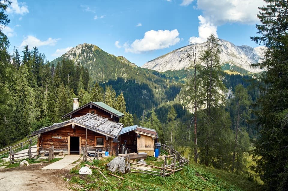 ModeratePriesbergalm via Königsweg11.7 km · 4 hr · 0.2 km awayAlpine meadows and the Watzmann’s East Face reward the climb.
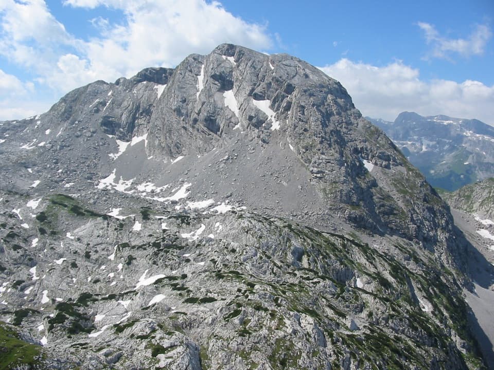 ChallengingKahlersberg via Mauslochsteig19.5 km · 9 hr · 0.2 km awayA full day to Kahlersberg, with a wire-secured west-wall climb.
 ChallengingHoher Göll via Alpeltalsteig13 km · 7.5 hr · 0.5 km awayA full-day climb across limestone karst to a 2,522 m summit.
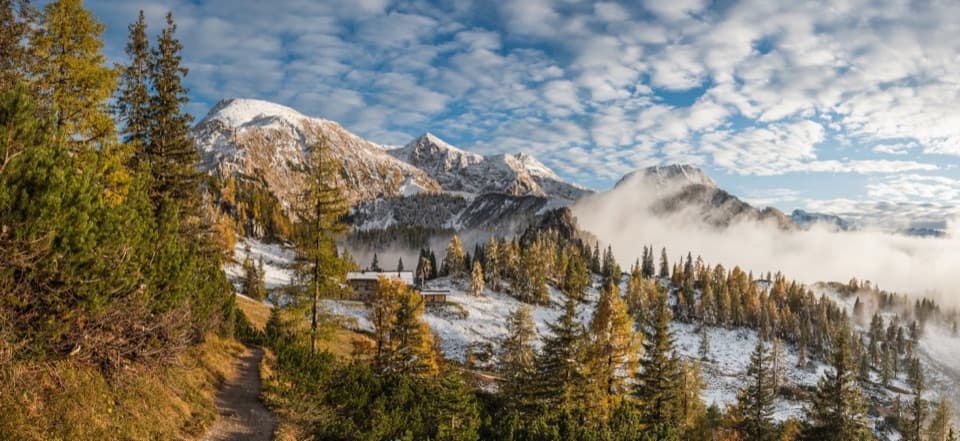 ChallengingSchneibsteinhaus Trail via Hochbahn14.7 km · 8.5 hr · 2.1 km awayA full-day climb from spruce forest to an alpine hut.
 ChallengingGroße Sommer-Reibn56.6 km · 1 days · 2.1 km awaySix days of huts, lakes and exposed passes in limestone country.
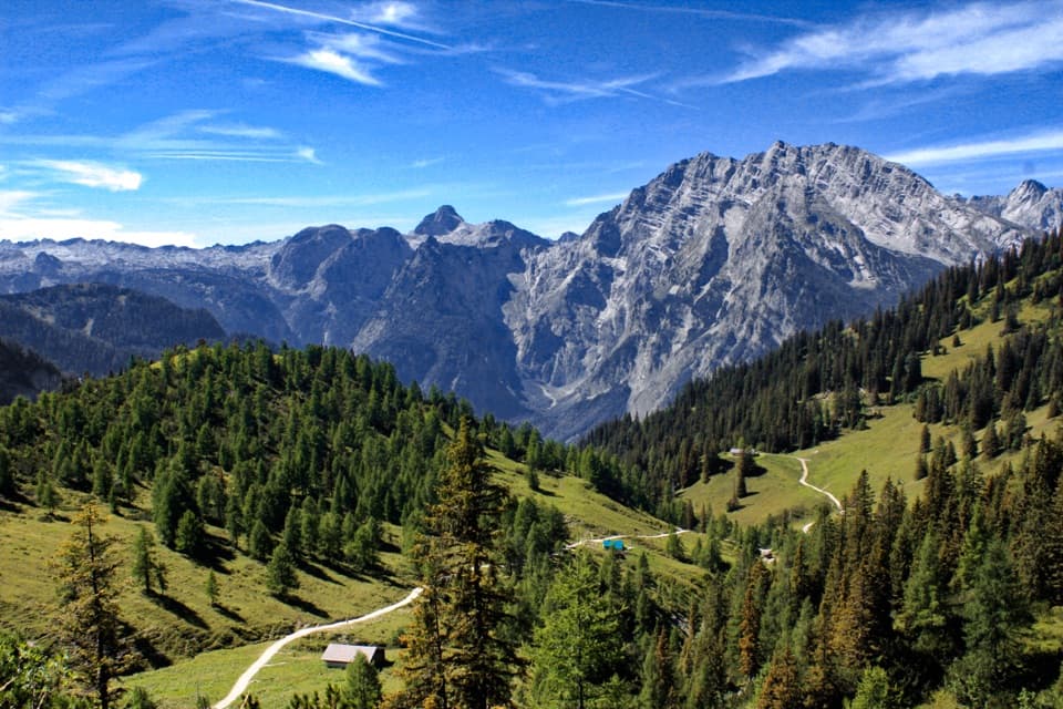 ModerateJenner to Königssee via Stahlhaus10 km · 4 hr · 2.1 km awayTwo alpine huts, then a long descent to Königssee
 ModerateKönigsbachalm via Hochbahn8.2 km · 3.8 hr · 2.2 km awayA steep forest climb ends at a mountain pasture above Königssee.
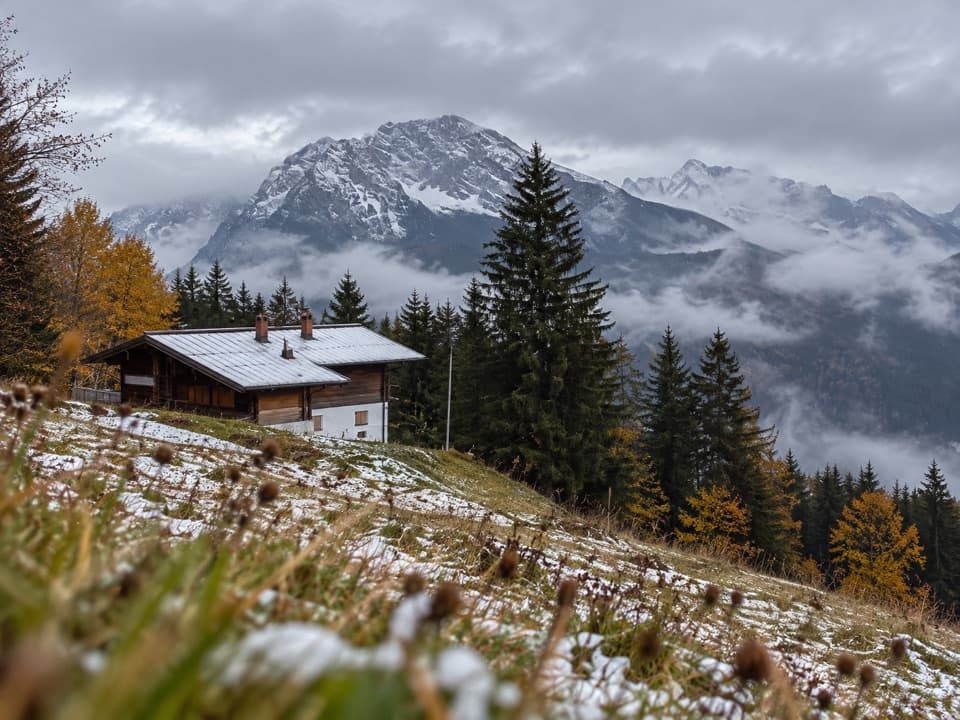 Restaurant · 1.3 km awayDr.-Hugo-Beck-HausWatzmann views reward the uphill walk to this Jenner hut.
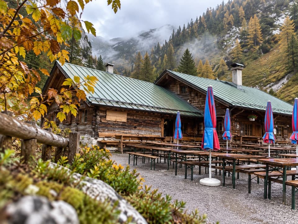 Restaurant · 1.8 km awayMitterkaseralm am JennerHomemade cakes and Bavarian snacks make this a good Jenner detour.
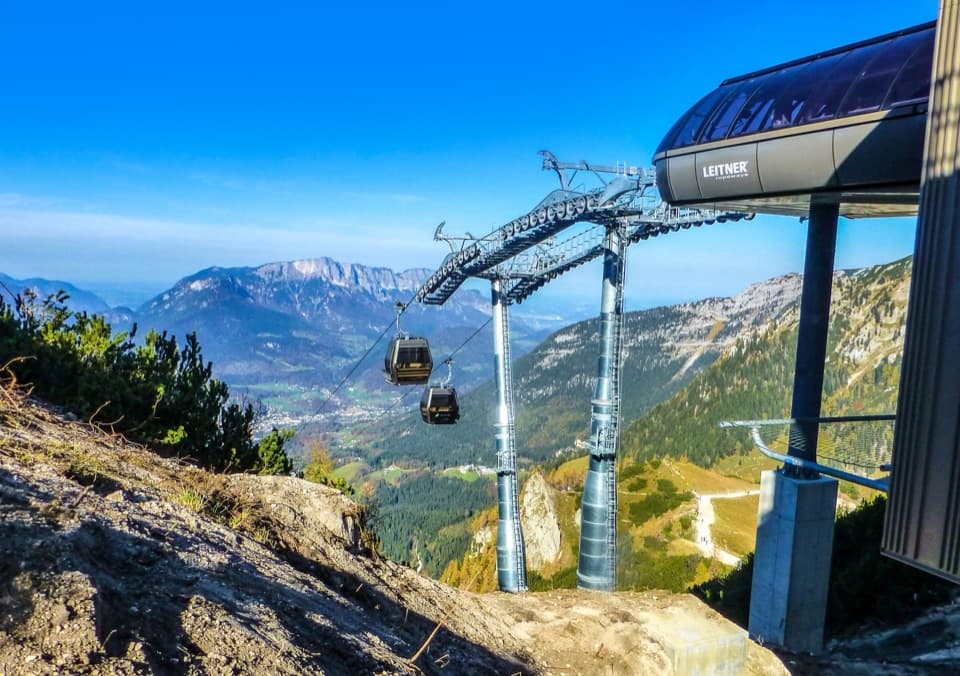 Sight · 2 km awayJennerbahnRide above Königssee, then see the park’s free rock-habitat exhibit.
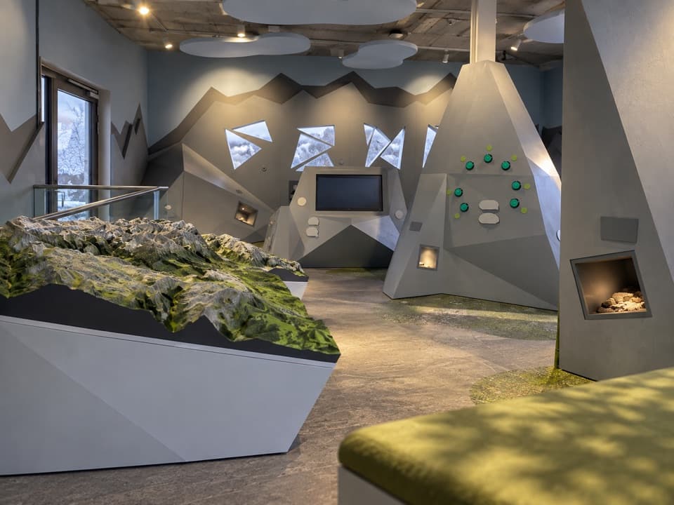 Visitor center · 2.1 km awayJenner National Park Information PointA free, hands-on look at life in the rocky Alps.
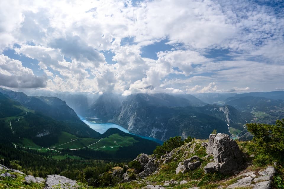 Sight · 2.2 km awayKönigsblick (Jenner Summit Viewpoint)A steep climb for a fjord-like view down Königssee.
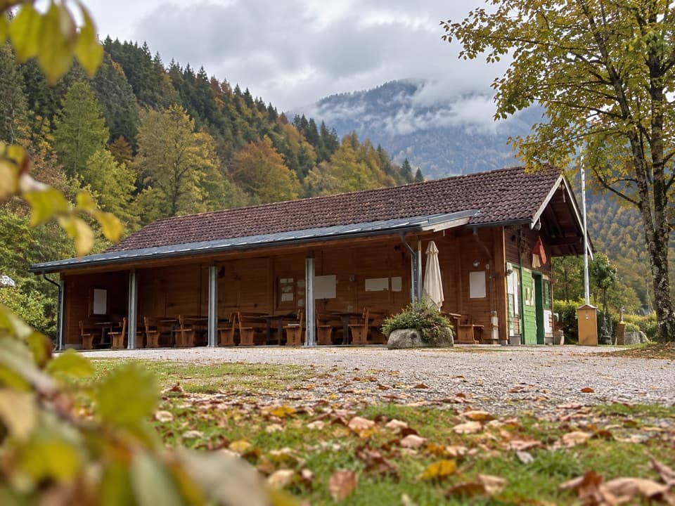 Campground · 2.5 km awayCamping MühlleitenA Königssee camping base with direct Watzmann views.
 Sight · 2.5 km awayMalerwinkel ViewpointA short climb opens Königssee toward St. Bartholomä and Schönfeldspitze.
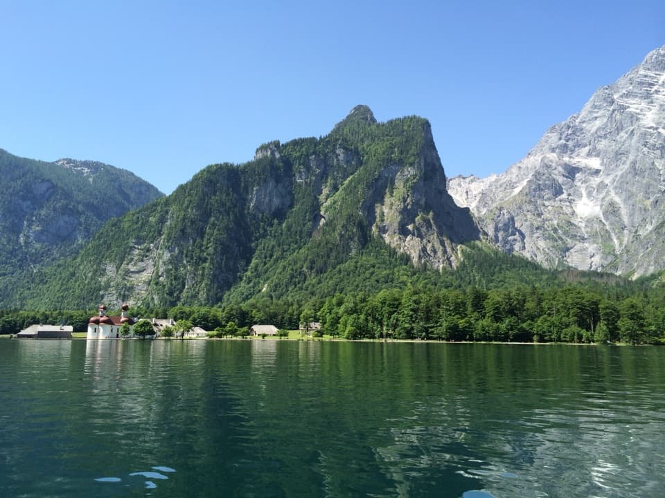 Sight · 2.5 km awayKönigsseeElectric boats cross deep green water beneath the Watzmann East Face.
Parkwolf’s Berchtesgaden ranking

The audio tour guide for the drive, plus offline maps, trails, and wildlife heatmaps for when the signal drops.



