Parking
Start at the Jennerbahn valley station at Königssee. The large Königssee car park is about 200 m away. Finish at Wimbachbrücke; arrange a transfer back to the start or leave a vehicle at each end.

Berchtesgaden National Park, BY
Six days of huts, lakes and exposed passes in limestone country.
Overview
Map & elevation
Plan your hike

The highest, rockiest slopes around here are a summer buffet for grizzly bears.
Berchtesgaden Tour Guide
Parkwolf is a GPS audio tour guide for Berchtesgaden National Park. As you drive, it chimes in with what’s ahead: hidden gems, upcoming stops, history, geology, and wildlife, right through your car’s speakers.
Recorded for this area
Jennerbahn: Ride Up for Königsblick“You're nearing the Jennerbahn valley station, where the gondola takes you high above Königssee. I'd choose this on a clear day, when you can enjoy the lake and the Watzmann across it.”
Plays on the road 0.2 km from the trailhead in the Parkwolf Berchtesgaden Tour Guide.
More stories near here in the app
“Fantastic app with many points of information… It’s great to just turn on while you’re driving and it gives you an audio tour of the national Park. We love it!!!!”


Trail guide
Große Sommer-Reibn is a 56.6 km point-to-point hut traverse from the Jennerbahn valley station at Königssee to Wimbachbrücke in Ramsau. It crosses the Hagengebirge and the high limestone plateau of the Steinernes Meer. The published itinerary breaks it into six stages and about 25 hours of walking; plan six days and five hut nights, not one huge push. Day one starts with the Jennerbahn ride, then a walk to Carl-von-Stahl-Haus. The route is for experienced mountain hikers who are comfortable with long days, exposed ground and a remote hut itinerary.
From the Jennerbahn mountain station, follow trail 499 to Carl-von-Stahl-Haus (about 1.5 hours on foot). The next stage climbs trail 416 over Schneibstein (2,276 m), drops across open plateau to Seeleinsee, crosses Hochgschirr and Landtal, then takes Reitsteig to Wasseralm (about 6 hours). From there trail 416 passes Halsköpfl, Schwarzsee, Grünsee and Funtensee before Kärlingerhaus (4.5 hours).
Continue via Baumgartl and Salzburger Kreuz to Riemannhaus (about 3 hours), then take Eichstätter Weg to Ingolstädter Haus (2.5–3 hours). The final day goes over Hundstodgatterl and Trischübel to Wimbachgrieshütte (about 4.5 hours), then follows Wimbachtal down to Wimbachbrücke (another 2.5 hours). The six stages add up to roughly 24.5–25 hours of walking.
The stage from Stahlhaus to Wasseralm is the most exposed: it crosses open high ground and has a short cable-secured section on Reitsteig. The last stage also has a steep, exposed step on the southern Trischübel bypass. This 600 m reroute gains more than 200 m and uses cable and footholds; it is not suitable for dogs. Dogs must otherwise stay on a lead in the national park. The long gaps between huts and the repeated climbs make this a demanding alpine route even where the tread is straightforward.
The Steinernes Meer is a broad karst plateau whose ridges resemble waves turned to stone. Its pale limestone belongs to the Northern Limestone Alps: marine deposits formed in the ancient Tethys about 200 million years ago, then were folded and lifted as the African plate pushed north roughly 140 million years ago. Watch how the bare, rippled rock gives way to small lakes and patches of dwarf pine along the route.
The itinerary links Carl-von-Stahl-Haus, Wasseralm, Kärlingerhaus, Riemannhaus and Ingolstädter Haus. Confirm seasonal openings and reserve each night before committing; do not assume food, water or a bed will be available without checking with the huts. The large Königssee car park is about 200 m from the Jennerbahn valley station. This is a point-to-point trek, so arrange a transfer back from Wimbachbrücke or leave a vehicle at each end.
Wildlife
 14 sightingsBearded VultureMost seen around noonSighting map
 29 sightingsGolden EagleMost seen around noonSighting map
 22 sightingsRed DeerMost seen around 6 PMSighting map
 131 sightingsAlpine ChamoisMost seen around 5 PMSighting map
 65 sightingsAlpine SalamanderMost seen around 11 AMSighting map
 63 sightingsAlpine MarmotMost seen around 9 AMSighting map
Sighting maps show where each species has been reported across Berchtesgaden. Wildlife moves, so no sighting is guaranteed.
Keep exploring
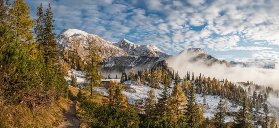 ChallengingSchneibsteinhaus Trail via Hochbahn14.7 km · 8.5 hr · At the trailheadA full-day climb from spruce forest to an alpine hut.
 ModerateKönigsbachalm via Hochbahn8.2 km · 3.8 hr · 0.2 km awayA steep forest climb ends at a mountain pasture above Königssee.
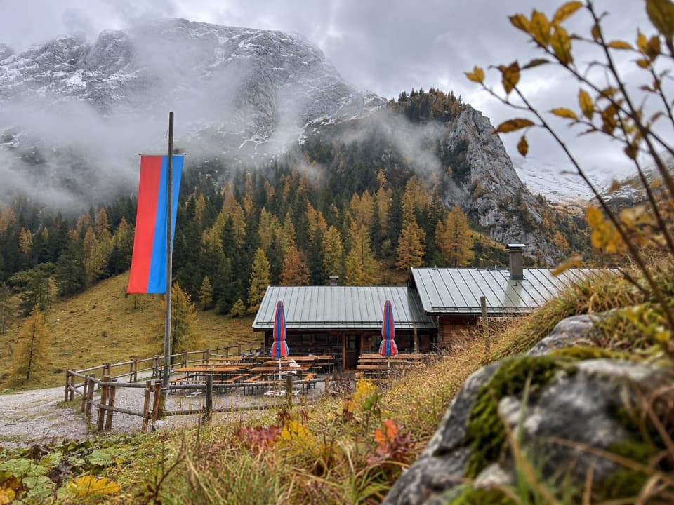 ModerateMitterkaseralm am Jenner9.3 km · 4 hr · 0.4 km awayA steep forest climb to a pasture inn below Jenner’s limestone ridge.
 ChallengingGotzenalm via Hochbahn Trail22.8 km · 8.7 hr · 0.4 km awayA long climb pays off at the Königssee’s cliff-edge lookout.
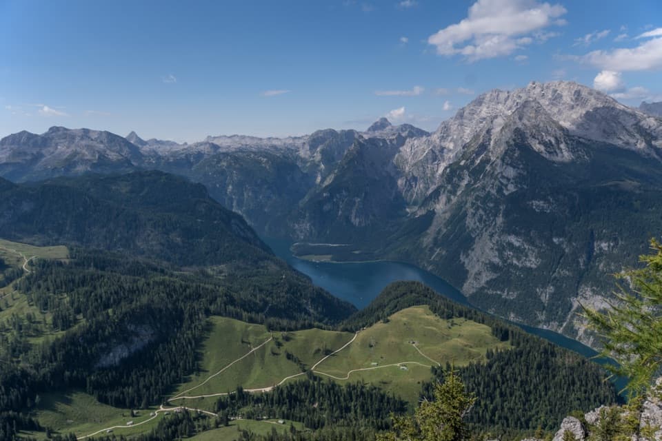 ChallengingJenner Summit via the Hochbahn10.7 km · 5.2 hr · 0.5 km awayA steep, storied climb from Königssee to the Jenner summit.
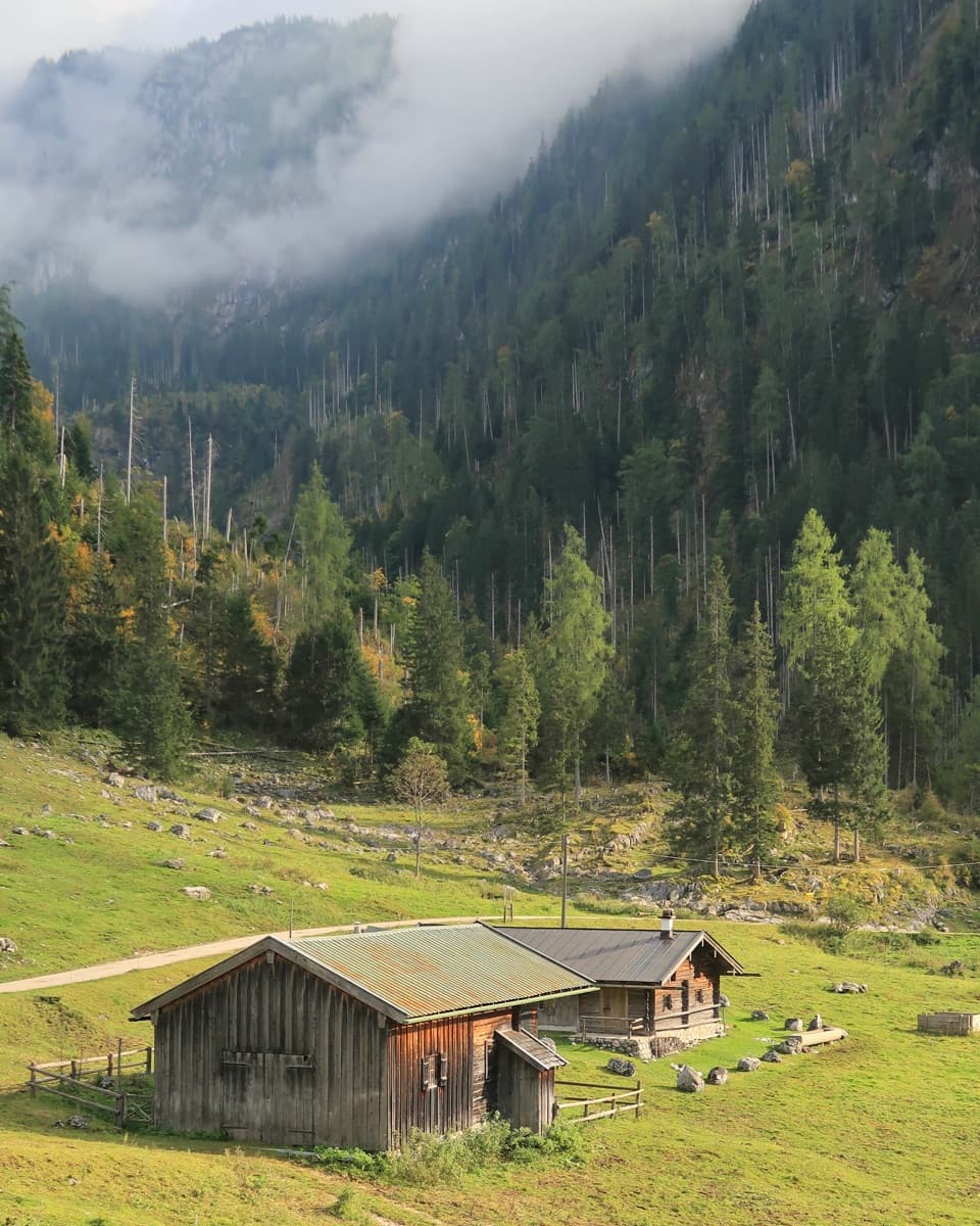 ChallengingKönigsbachalm – Gotzentalalm – Kessel10.8 km · 6 hr · 0.5 km awayTwo alpine pastures before a steep descent to Königssee.
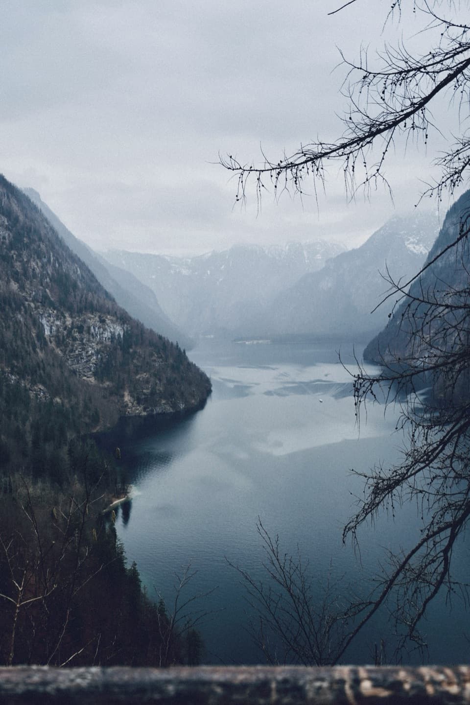 ModerateRabenwand via Malerwinkel Loop4.3 km · 2 hr · 0.5 km awayA rocky spur lifts the Malerwinkel loop above Königssee.
 EasyMalerwinkel-Rundweg3.4 km · 1.5 hr · 0.5 km awayA quick forest loop with Königssee and St. Bartholomä in view.
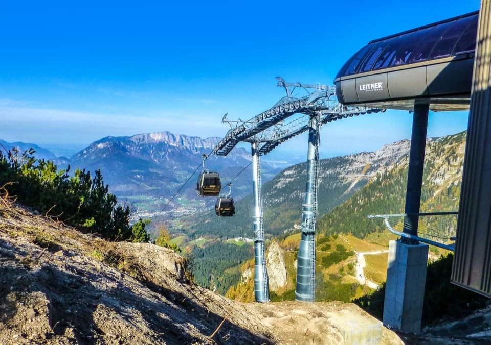 Sight · 0.1 km awayJennerbahnRide above Königssee, then see the park’s free rock-habitat exhibit.
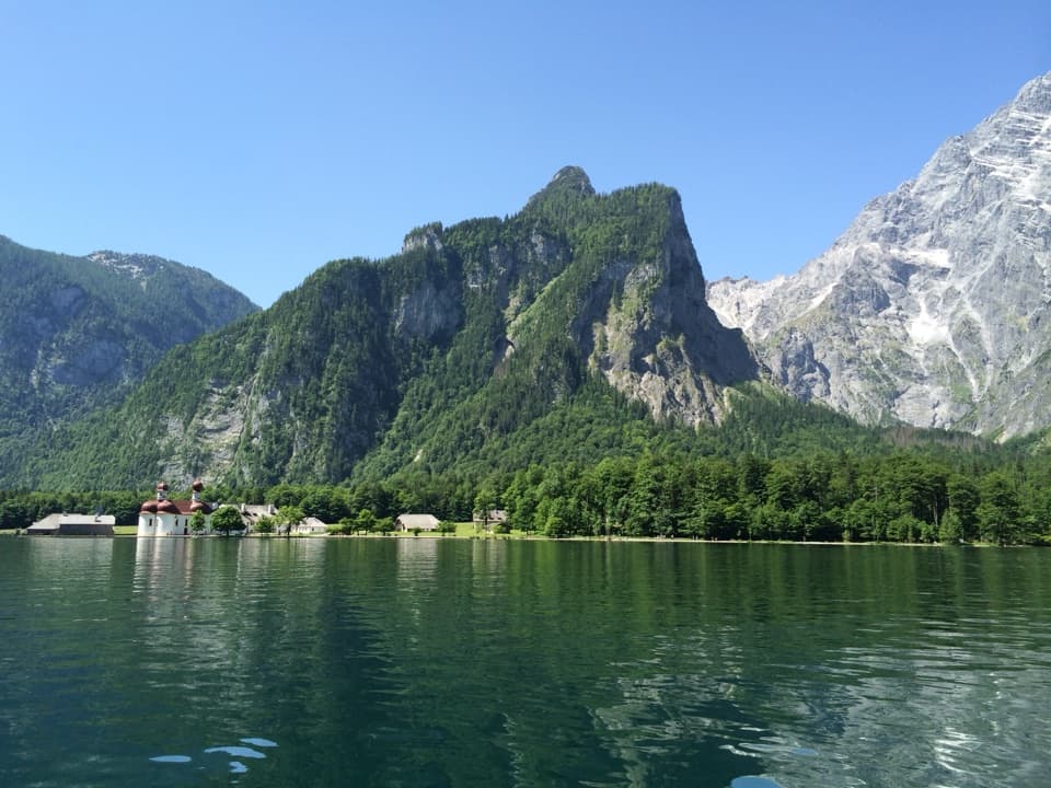 Sight · 0.5 km awayKönigsseeElectric boats cross deep green water beneath the Watzmann East Face.
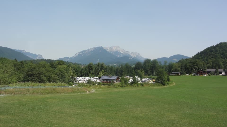 Campground · 0.7 km awayCamping GrafenlehenA walkable Königssee base with views of the Watzmann.Sight · 1 km awayMalerwinkel ViewpointA short climb opens Königssee toward St. Bartholomä and Schönfeldspitze.
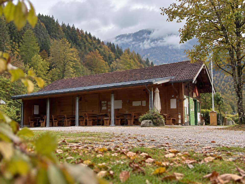 Campground · 1 km awayCamping MühlleitenA Königssee camping base with direct Watzmann views.
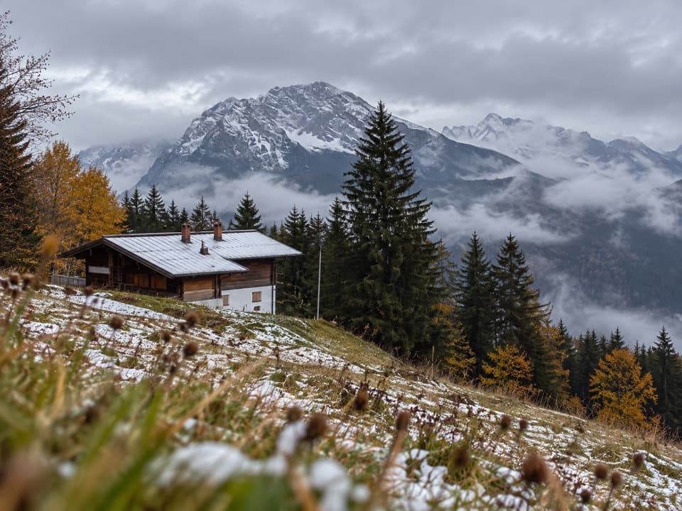 Restaurant · 1.9 km awayDr.-Hugo-Beck-HausWatzmann views reward the uphill walk to this Jenner hut.
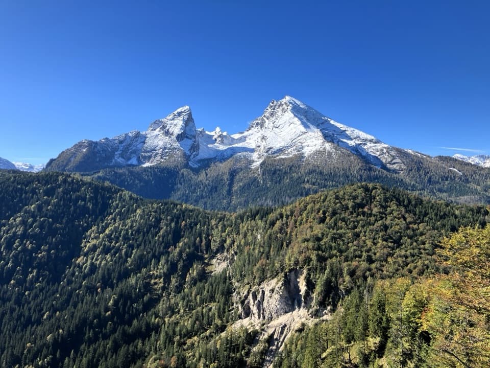 Sight · 2.2 km awayGrünstein Summit ViewpointA steep climb for Watzmann, Königssee and a hut stop below.
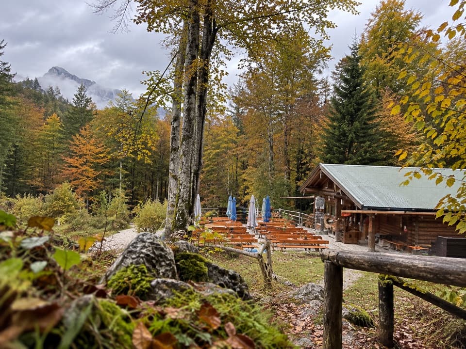 Restaurant · 2.4 km awayGrünsteinhütteA terrace stop for Kaiserschmarrn below Grünstein's summit.
Parkwolf’s Berchtesgaden ranking

The audio tour guide for the drive, plus offline maps, trails, and wildlife heatmaps for when the signal drops.



