Parking
Start at Parkplatz Königssee in Schönau am Königssee; the route begins at this parking area and follows Hochbahn.
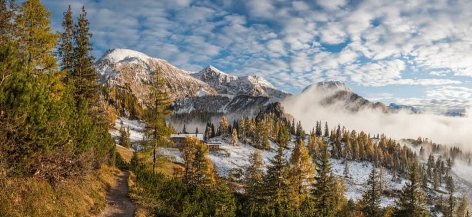
Berchtesgaden National Park, BY
A full-day climb from spruce forest to an alpine hut.
Overview
Map & elevation
Plan your hike

The highest, rockiest slopes around here are a summer buffet for grizzly bears.
Berchtesgaden Tour Guide
Parkwolf is a GPS audio tour guide for Berchtesgaden National Park. As you drive, it chimes in with what’s ahead: hidden gems, upcoming stops, history, geology, and wildlife, right through your car’s speakers.
Recorded for this area
Jennerbahn: Ride Up for Königsblick“You're nearing the Jennerbahn valley station, where the gondola takes you high above Königssee. I'd choose this on a clear day, when you can enjoy the lake and the Watzmann across it.”
Plays on the road 0.2 km from the trailhead in the Parkwolf Berchtesgaden Tour Guide.
More stories near here in the app
“Fantastic app with many points of information… It’s great to just turn on while you’re driving and it gives you an audio tour of the national Park. We love it!!!!”


Trail guide
This is a 9.16-mile (14.7 km) out-and-back from Parkplatz Königssee to Schneibsteinhaus at 1,670 m, then back the same way. The mapped climb is 7.37 km (4.58 miles) and gains about 1,039 m. It earns the day with a forest-to-alpine-pasture climb and a proper mountain hut at the end; this is a hard hike, not a summit ascent. Allow about 8 to 9 hours with a break. A listed 4½-hour estimate accompanies the one-way climb, but does not say clearly whether it includes the return, so plan for the full day.
From the Königssee parking area, Hochbahn climbs through shady spruce forest to Königsbachalm. Beyond the alm, the dense forest gives way to alpine meadows and open patches of mountain pine. The trail continues beside the Königsbach gorge toward the hut. That shift from a shaded forest climb to open pasture is the walk’s main change of scene. On the return, you retrace the same steep line downhill, so leave enough time and energy for the descent.
Schneibsteinhaus is a working alpine hut, with food, overnight beds, showers and toilets. Its staffed season is roughly May through October; check current service before relying on a meal or bed. If you want a little more after the hut, Torrener Joch is a short optional detour about 40 m higher, with a view into Austria’s Bluntautal and Carl-von-Stahl-Haus nearby. That extra leg is not part of this trail’s mapped distance. If the 1,039 m climb is too much, the separate approach from Hinterbrand is the alternative to look up; it follows a different route.
Cattle may graze on the open meadows. Dogs are allowed on this route but must stay leashed in the national park and on alpine pastures; give grazing animals plenty of room. There is no confirmed trail-specific closure information in this run, so check local notices before setting out.
The optional walk to Torrener Joch also passes a geological boundary: the park identifies exposed Lower Triassic Werfen strata here, among its oldest rocks. If you make that detour, the Bluntautal view with Carl-von-Stahl-Haus in the scene is the photo worth stopping for.
Wildlife
 14 sightingsBearded VultureMost seen around noonSighting map
 29 sightingsGolden EagleMost seen around noonSighting map
 22 sightingsRed DeerMost seen around 6 PMSighting map
 131 sightingsAlpine ChamoisMost seen around 5 PMSighting map
 65 sightingsAlpine SalamanderMost seen around 11 AMSighting map
 63 sightingsAlpine MarmotMost seen around 9 AMSighting map
Sighting maps show where each species has been reported across Berchtesgaden. Wildlife moves, so no sighting is guaranteed.
Keep exploring
 ChallengingGroße Sommer-Reibn56.6 km · 1 days · At the trailheadSix days of huts, lakes and exposed passes in limestone country.
 ModerateKönigsbachalm via Hochbahn8.2 km · 3.8 hr · 0.2 km awayA steep forest climb ends at a mountain pasture above Königssee.
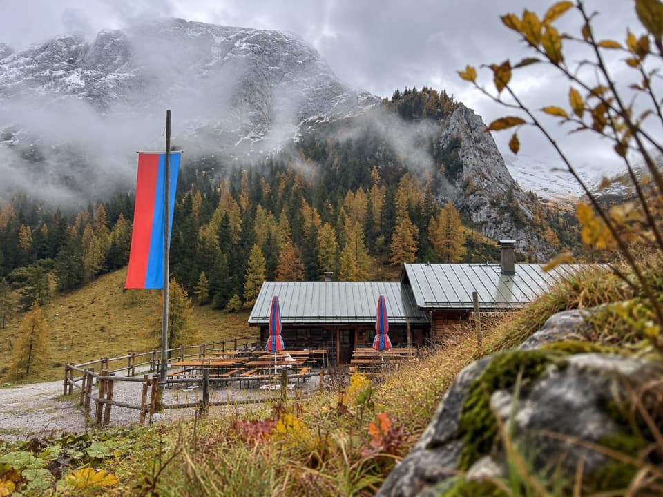 ModerateMitterkaseralm am Jenner9.3 km · 4 hr · 0.4 km awayA steep forest climb to a pasture inn below Jenner’s limestone ridge.
 ChallengingGotzenalm via Hochbahn Trail22.8 km · 8.7 hr · 0.5 km awayA long climb pays off at the Königssee’s cliff-edge lookout.
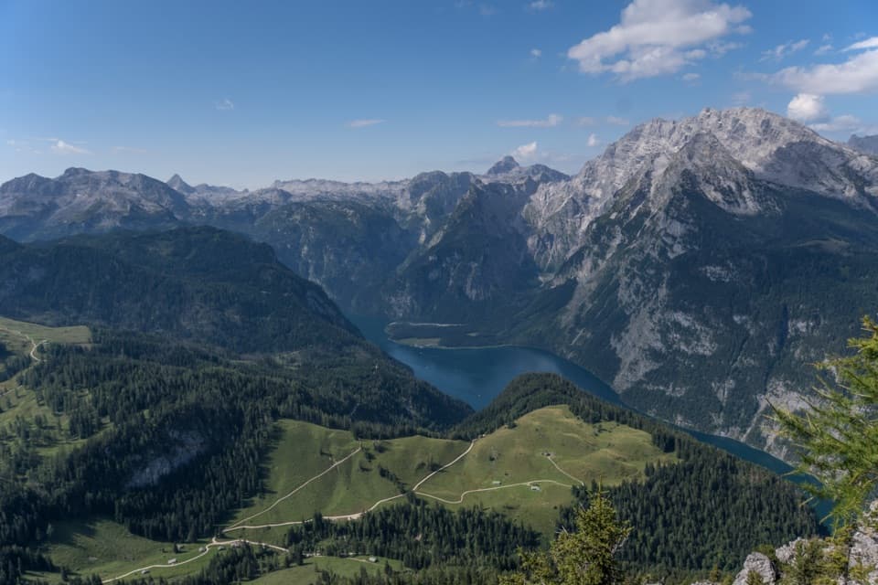 ChallengingJenner Summit via the Hochbahn10.7 km · 5.2 hr · 0.5 km awayA steep, storied climb from Königssee to the Jenner summit.
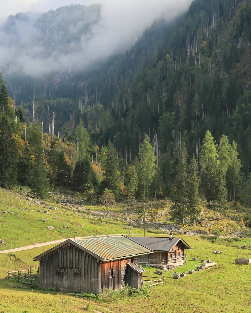 ChallengingKönigsbachalm – Gotzentalalm – Kessel10.8 km · 6 hr · 0.5 km awayTwo alpine pastures before a steep descent to Königssee.
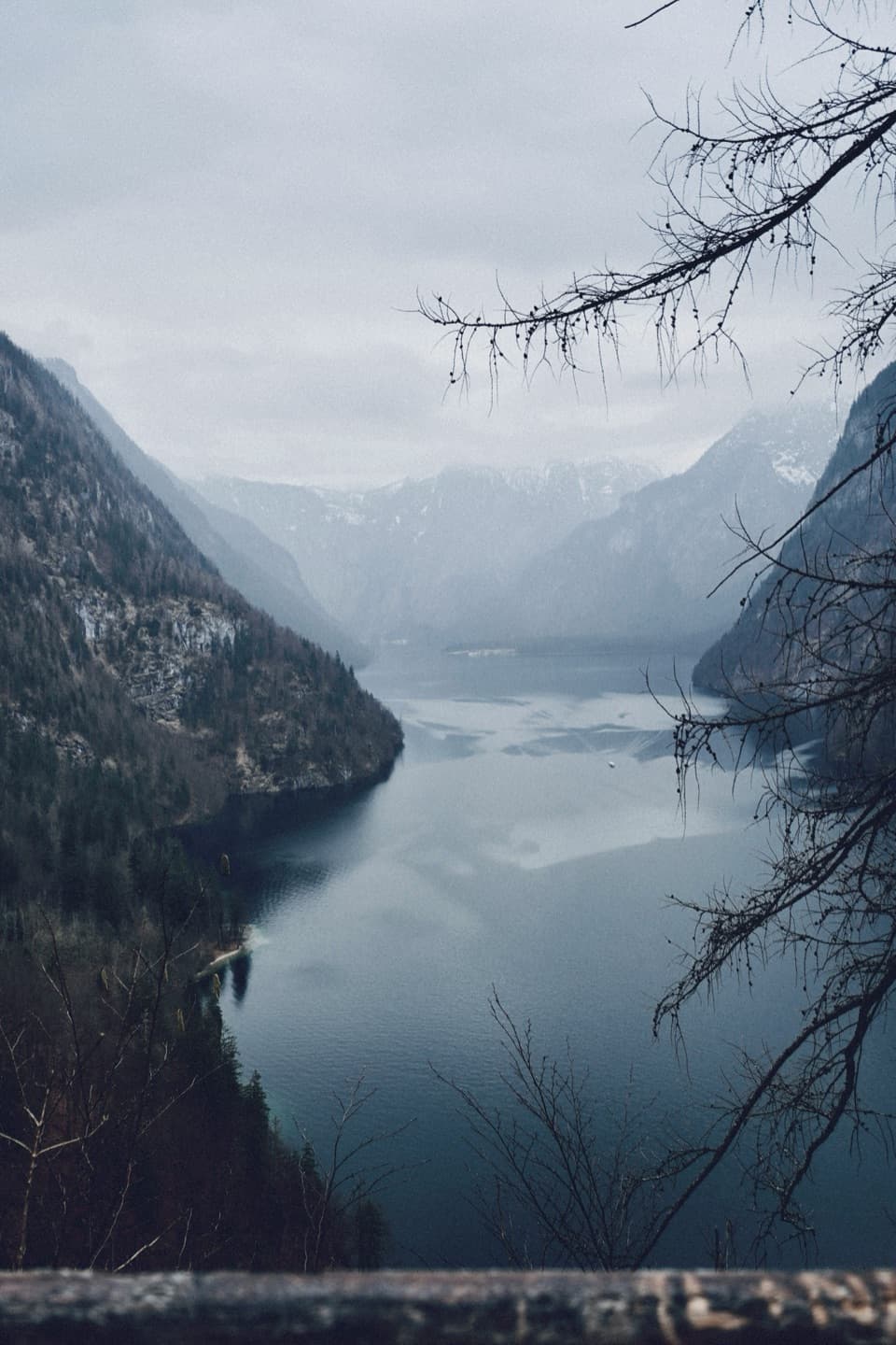 ModerateRabenwand via Malerwinkel Loop4.3 km · 2 hr · 0.5 km awayA rocky spur lifts the Malerwinkel loop above Königssee.
 EasyMalerwinkel-Rundweg3.4 km · 1.5 hr · 0.5 km awayA quick forest loop with Königssee and St. Bartholomä in view.
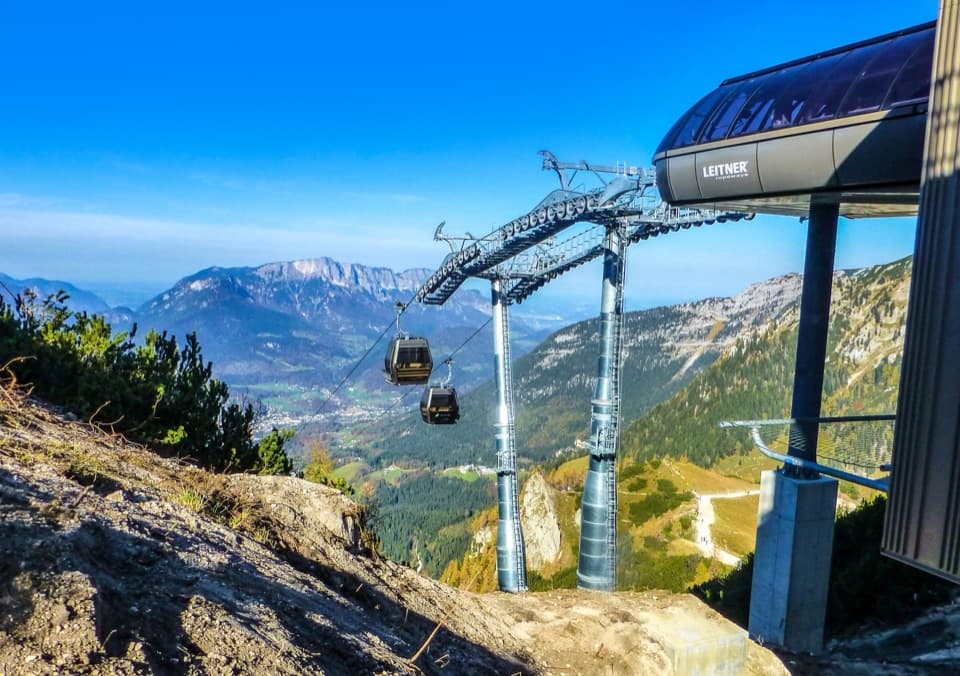 Sight · 0.1 km awayJennerbahnRide above Königssee, then see the park’s free rock-habitat exhibit.
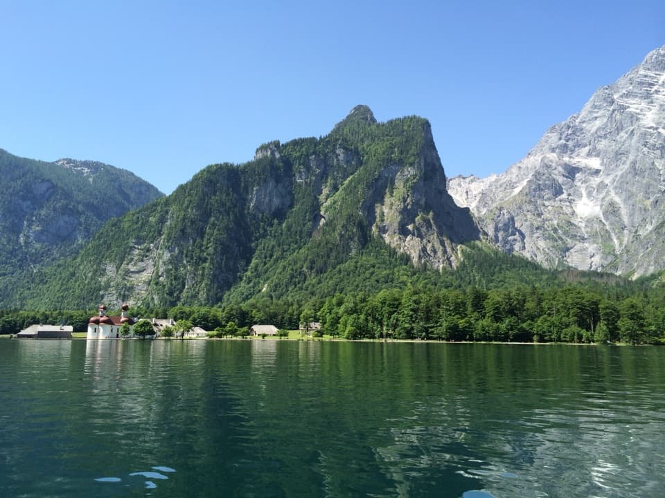 Sight · 0.5 km awayKönigsseeElectric boats cross deep green water beneath the Watzmann East Face.
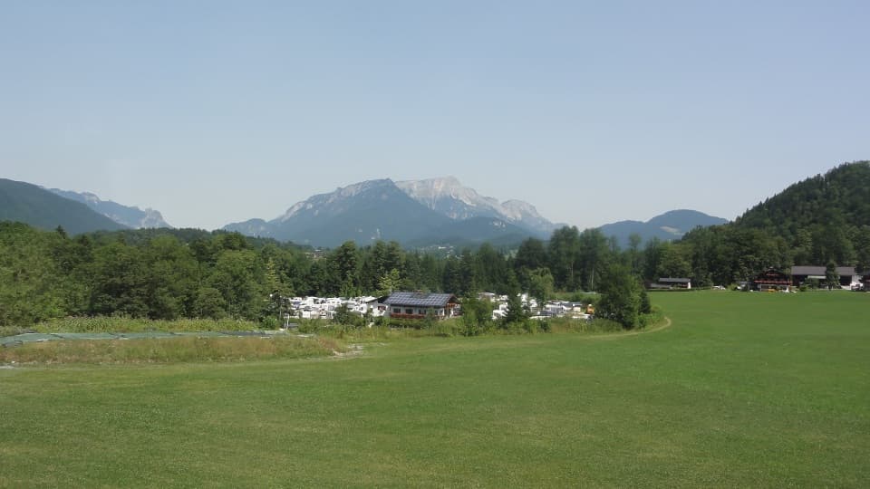 Campground · 0.7 km awayCamping GrafenlehenA walkable Königssee base with views of the Watzmann.Sight · 1 km awayMalerwinkel ViewpointA short climb opens Königssee toward St. Bartholomä and Schönfeldspitze.
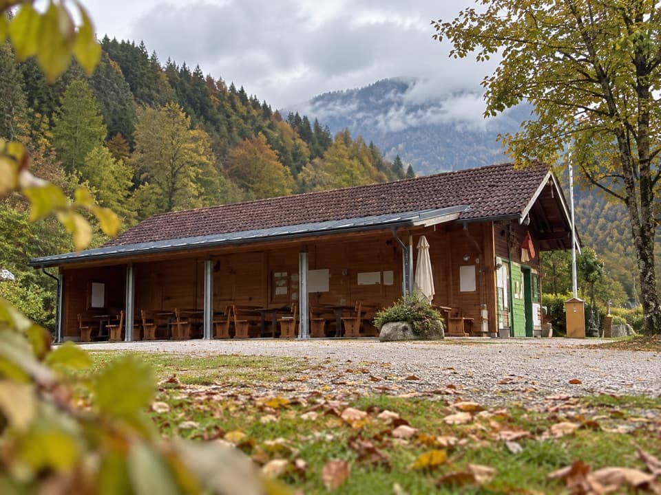 Campground · 1 km awayCamping MühlleitenA Königssee camping base with direct Watzmann views.
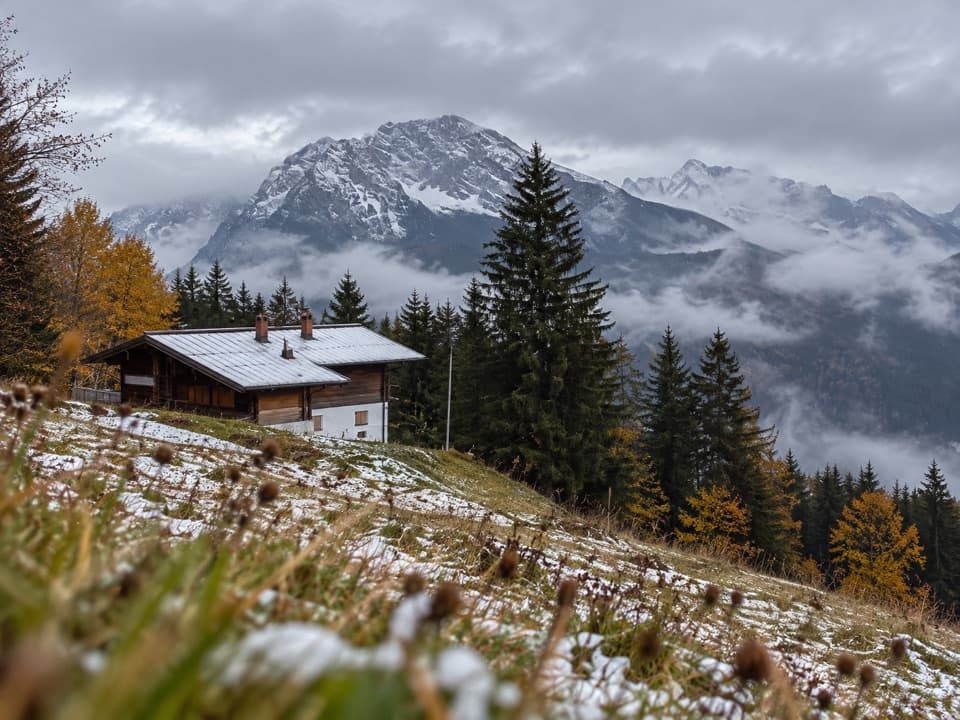 Restaurant · 1.9 km awayDr.-Hugo-Beck-HausWatzmann views reward the uphill walk to this Jenner hut.
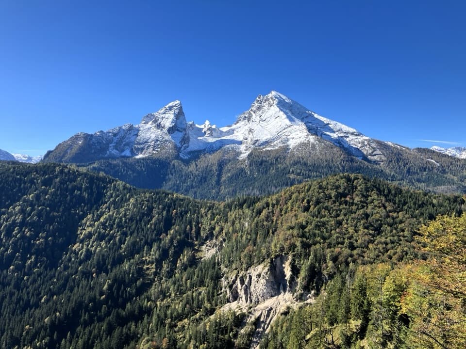 Sight · 2.2 km awayGrünstein Summit ViewpointA steep climb for Watzmann, Königssee and a hut stop below.
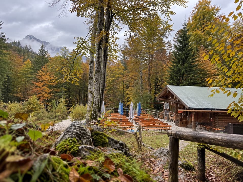 Restaurant · 2.4 km awayGrünsteinhütteA terrace stop for Kaiserschmarrn below Grünstein's summit.
Parkwolf’s Berchtesgaden ranking

The audio tour guide for the drive, plus offline maps, trails, and wildlife heatmaps for when the signal drops.



