Parking
Start at Parkplatz Hinterbrand, the access used for the published 19.4 km itinerary. Capacity and current fees were not verified. Do not assume a different starting access has the same mileage.
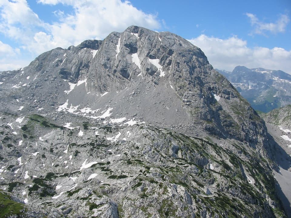
Berchtesgaden National Park, BY
A full day to Kahlersberg, with a wire-secured west-wall climb.
Overview
Map & elevation
Plan your hike

The highest, rockiest slopes around here are a summer buffet for grizzly bears.
Berchtesgaden Tour Guide
Parkwolf is a GPS audio tour guide for Berchtesgaden National Park. As you drive, it chimes in with what’s ahead: hidden gems, upcoming stops, history, geology, and wildlife, right through your car’s speakers.
Recorded for this area
Hinterbrand: Pasture Walk or Alpine Circuit“You're approaching Hinterbrand, a starting point for mountain walks above Königssee.”
Plays on the road 0.1 km from the trailhead in the Parkwolf Berchtesgaden Tour Guide.
More stories near here in the app
“Fantastic app with many points of information… It’s great to just turn on while you’re driving and it gives you an audio tour of the national Park. We love it!!!!”


Trail guide
Kahlersberg via Mauslochsteig is a 12.1-mile (19.4 km) out-and-back from Parkplatz Hinterbrand to the 2,350 m summit. It gains about 4,265 feet (1,300 m), and the published time is nine hours. The route starts on the Königsweg, climbs through Priesbergalm, Stiergraben, Seeleinsee and Hochgschirr, then tackles the exposed west wall; return the same way. This is for experienced hikers comfortable with a long day, rough ground and exposure. The payoff is a high limestone summit with a wide view over the Berchtesgaden Alps.
The published mileage and time start at Parkplatz Hinterbrand; a different access changes the distance, and the optional Jennerbahn middle-station start has no separate figure. Most of the day is the approach and return, not just the summit climb. A local route account names Dr.-Hugo-Beck-Haus near Jennerbahn middle station as the only refreshment stop, better treated as a possible stop on the way back. Check that it is operating before relying on food there. I could not verify a dog rule, so check before bringing one.
From Hinterbrand, take the Königsweg toward Priesbergalm. Past the lower huts, a narrow path crosses meadow, enters woods and drops into a ditch before climbing Stiergraben. The path gets stonier as the trees thin to dwarf pine and rock. At the Seeleinsee junction, the lake may not be visible yet; it comes into view on the rocky ascent toward Hochgschirr, where the green water sits against gray limestone.
At Seeleinsee, take the right-hand rocky ascent to Hochgschirr. Turn left at the pass. From there, route-finding shifts from obvious path to faint tracks and stone cairns across broken limestone toward the foot of Kahlersberg’s west face. Keep the line in sight; do not improvise across the karst if tracks disappear. On the final plateau the tracks fade and landmarks are sparse, so poor visibility makes navigation especially difficult.
The named west-wall route climbs steeply and is exposed in places. Short cruxes have fixed wire protection; another route description also notes metal rungs or steps. These aids do not make it an easy or beginner route. You need steady feet and comfort with exposed ground on the ascent and, again, on the descent. If you are unsure about that kind of terrain, this is a good place to turn back rather than push onto the wall.
Above the wall, the route eases onto a broad karst plateau. The summit view takes in Watzmann’s east face, Kleine Reibn, the Steinernes Meer, Hochkönig and Wildalmkircherl. For a photo, include some pale limestone in the foreground; it shows the rough high terrain you crossed. The return follows the same track, so the secured wall needs care in reverse and the long walk through Stiergraben and along Königsweg still lies ahead.
These peaks belong to the Northern Limestone Alps; their bedrock formed from deposits in the ancient Tethys about 200 million years ago. Ibex are associated with Kahlersberg, and local hiking descriptions report them grazing near the upper path. Give them room, and don’t count on a sighting.
Wildlife
 14 sightingsBearded VultureMost seen around noonSighting map
 29 sightingsGolden EagleMost seen around noonSighting map
 22 sightingsRed DeerMost seen around 6 PMSighting map
 131 sightingsAlpine ChamoisMost seen around 5 PMSighting map
 65 sightingsAlpine SalamanderMost seen around 11 AMSighting map
 63 sightingsAlpine MarmotMost seen around 9 AMSighting map
Sighting maps show where each species has been reported across Berchtesgaden. Wildlife moves, so no sighting is guaranteed.
Keep exploring
 ChallengingKleine Reibn18.7 km · 9 hr · At the trailheadA long alpine loop over a summit plateau to a turquoise lake.
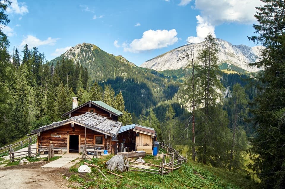 ModeratePriesbergalm via Königsweg11.7 km · 4 hr · At the trailheadAlpine meadows and the Watzmann’s East Face reward the climb.
 ChallengingHohes Brett Loop from Hinterbrand15.3 km · 8 hr · 0.2 km awayA hard alpine loop with cable-secured rock and a broad summit.
 ChallengingHoher Göll via Alpeltalsteig13 km · 7.5 hr · 0.4 km awayA full-day climb across limestone karst to a 2,522 m summit.
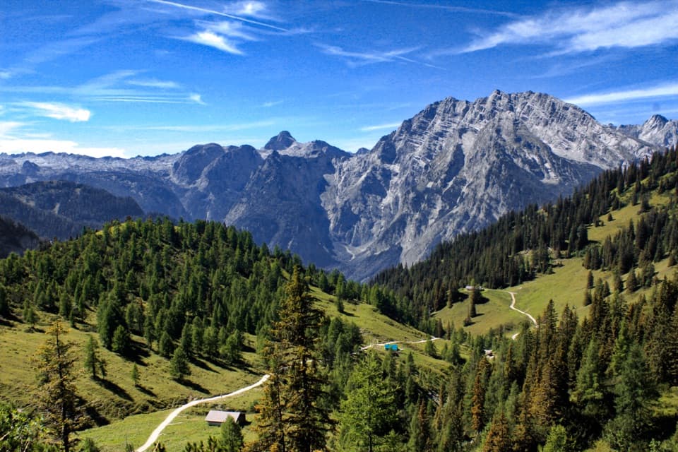 ModerateJenner to Königssee via Stahlhaus10 km · 4 hr · 2.1 km awayTwo alpine huts, then a long descent to Königssee
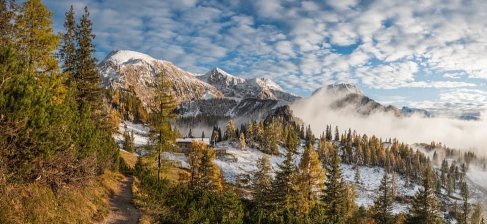 ChallengingSchneibsteinhaus Trail via Hochbahn14.7 km · 8.5 hr · 2.2 km awayA full-day climb from spruce forest to an alpine hut.
 ChallengingGroße Sommer-Reibn56.6 km · 1 days · 2.2 km awaySix days of huts, lakes and exposed passes in limestone country.
 ModerateKönigsbachalm via Hochbahn8.2 km · 3.8 hr · 2.4 km awayA steep forest climb ends at a mountain pasture above Königssee.
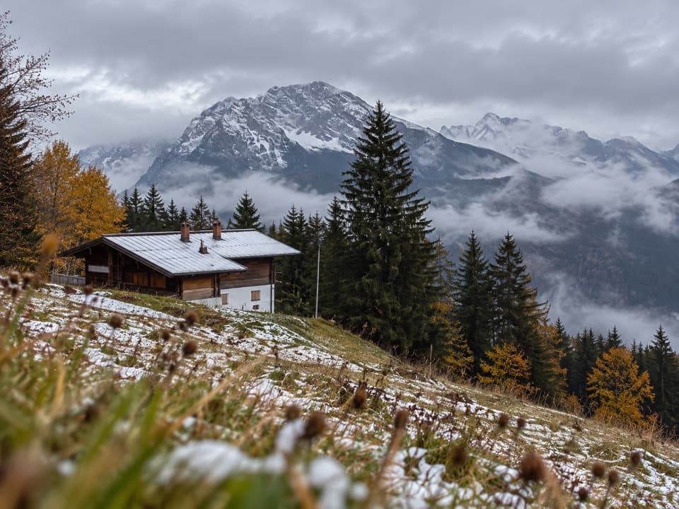 Restaurant · 1.4 km awayDr.-Hugo-Beck-HausWatzmann views reward the uphill walk to this Jenner hut.
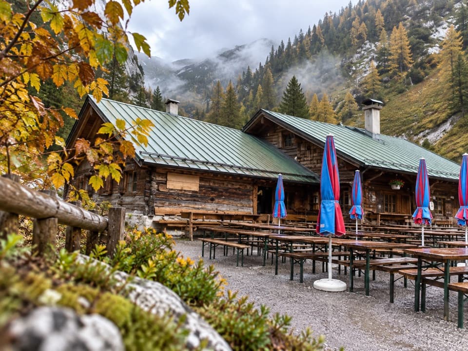 Restaurant · 1.8 km awayMitterkaseralm am JennerHomemade cakes and Bavarian snacks make this a good Jenner detour.
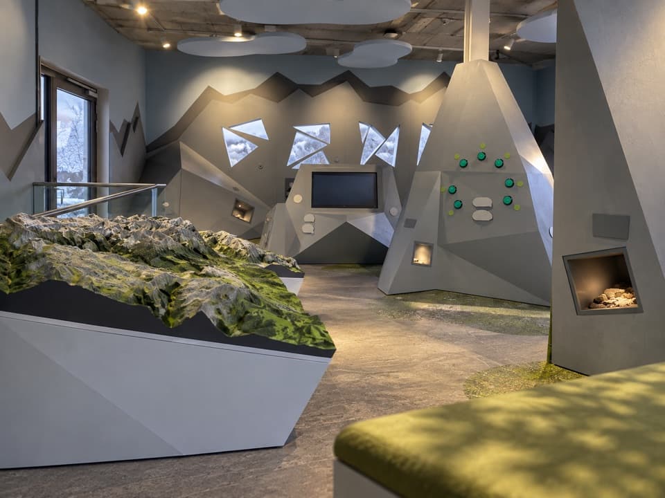 Visitor center · 2.1 km awayJenner National Park Information PointA free, hands-on look at life in the rocky Alps.
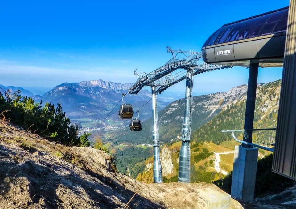 Sight · 2.2 km awayJennerbahnRide above Königssee, then see the park’s free rock-habitat exhibit.
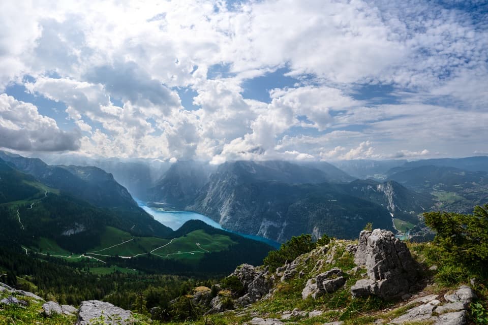 Sight · 2.2 km awayKönigsblick (Jenner Summit Viewpoint)A steep climb for a fjord-like view down Königssee.
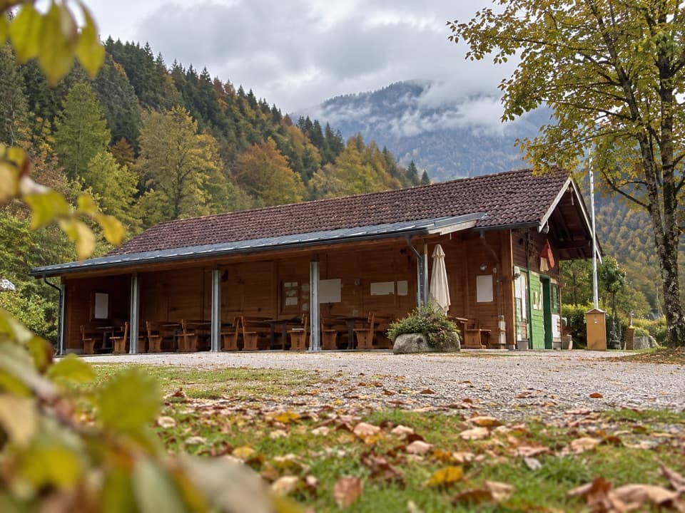 Campground · 2.6 km awayCamping MühlleitenA Königssee camping base with direct Watzmann views.
 Sight · 2.7 km awayMalerwinkel ViewpointA short climb opens Königssee toward St. Bartholomä and Schönfeldspitze.
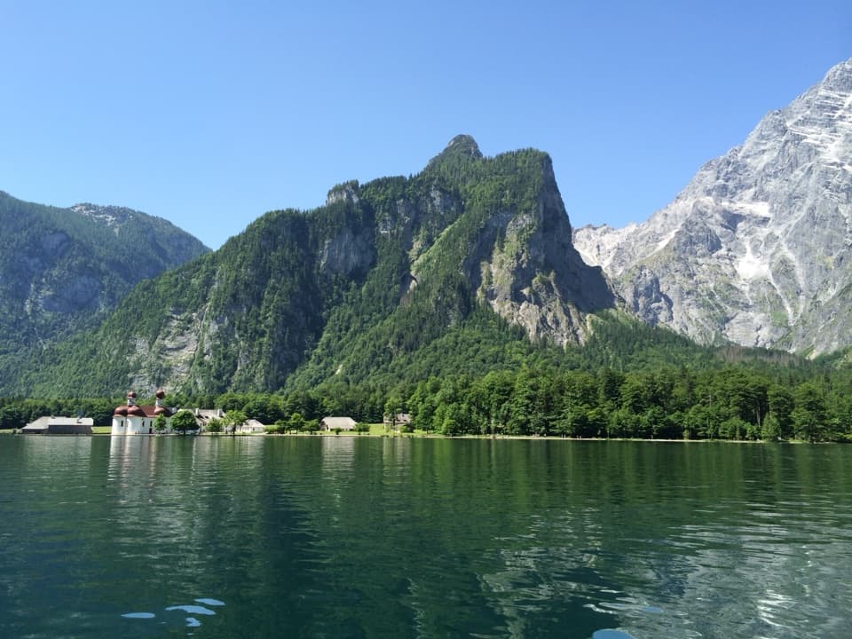 Sight · 2.7 km awayKönigsseeElectric boats cross deep green water beneath the Watzmann East Face.
Parkwolf’s Berchtesgaden ranking

The audio tour guide for the drive, plus offline maps, trails, and wildlife heatmaps for when the signal drops.



