Parking
Use the Hinterbrand parking area on Scharitzkehlstraße, then follow the marked Alpeltalsteig / AV 457 approach to the trail start. The few roadside bays noted nearby are limited; plan on the main parking area and a short walk to the path.

Berchtesgaden National Park, BY
A full-day climb across limestone karst to a 2,522 m summit.
Overview
Map & elevation
Plan your hike

The highest, rockiest slopes around here are a summer buffet for grizzly bears.
Berchtesgaden Tour Guide
Parkwolf is a GPS audio tour guide for Berchtesgaden National Park. As you drive, it chimes in with what’s ahead: hidden gems, upcoming stops, history, geology, and wildlife, right through your car’s speakers.
Recorded for this trailhead
Hinterbrand: Pasture Walk or Alpine Circuit“You're approaching Hinterbrand, a starting point for mountain walks above Königssee.”
Plays as you drive up to this trailhead in the Parkwolf Berchtesgaden Tour Guide.
More stories near here in the app
“Fantastic app with many points of information… It’s great to just turn on while you’re driving and it gives you an audio tour of the national Park. We love it!!!!”


Trail guide
Hoher Göll via the Alpeltalsteig is a demanding high-alpine out-and-back from Hinterbrand to the 2,522 m summit. Allow about 13 km round trip, around 1,500 m of ascent and seven to eight hours for the full return. The map draws the uphill corridor once; turn around at the summit and retrace it. The payoff is a changing climb from forest and grass to a broad limestone karst and a summit ridge with wide views in clear weather.
This is a serious day for fit hikers with alpine experience, sure footing and comfort using their hands on rock. The route is marked, but the tread fades in the upper karst, and the distance and elevation gain leave little room for a slow start.
Use the Hinterbrand parking area on Scharitzkehlstraße, then follow the signs for the Alpeltalsteig or AV 457 to the path start. A pair of small roadside bays has been noted beside the main lot, but treat them as limited extra spaces rather than a dependable alternative. No food, water or toilet stop was confirmed along the route, so bring what you need for a full day.
Dogs must stay on a lead within the national park. The cable-secured step and steep, hand-assisted rock make this route unsuitable for many dogs.
The first path climbs through a forest opening. After roughly 100 m of ascent it reaches the foot of Brettgabel, where a short cable-secured step leads left into the Alpeltal; this is the route’s only fixed cable. Above it, a light forest gives way to steep loose scree, then easier grassy paths and stone steps. Dürreck and Alpeltalkopf stay off to the left as the route climbs.
Higher up, the green meadows give way to the grey limestone field known as the Umgänge. The route levels somewhat and traverses north toward Pflughörndl and the eastern walls of the Göll. The view opens up toward the valley head and Kehlstein. Grooves and hollows in the limestone make the ground look like a jumble of stone towers, but the route is not always a distinct path: follow the paint marks rather than choosing the most inviting gap.
A marker around 1,922 m indicates that about 600 m of climbing remain; the summit is still roughly two hours away. Dense fog can make the markings hard to find here. If you can no longer follow them confidently, turn back rather than crossing the karst by guesswork.
The route reaches Göllscharte before the final climb. From the saddle, signs point toward Hoher Göll; the summit is still about 45 minutes away. Kuchler Kreuz, at 2,480 m, is a separate cross a few minutes before the top, not the destination. Continue to the actual summit cross, whose central crystal makes it easy to recognize. On a clear day, the view reaches the Tennengebirge, Hagengebirge and Steinernes Meer.
Descend the same way through the limestone, scree, grass and forest. The steep loose sections and cable step feel different on tired legs, so keep time and energy for the return. The route is generally described as not especially exposed, but it is still high-alpine terrain with short hand-assisted steps up to UIAA grade I. Smooth slabs can be slippery when wet, and the marked line is difficult to follow in dense fog; dry conditions, sure footing and mountain experience matter.
In the grassy belt, white hellebore flowers among the meadows. It can resemble yellow gentian when it is not in bloom and is poisonous, so leave it untouched. The irregular limestone grooves and hollows are karren, the small-scale rock formations that give the Umgänge their distinctive pale, broken surface.
Wildlife
 14 sightingsBearded VultureMost seen around noonSighting map
 29 sightingsGolden EagleMost seen around noonSighting map
 22 sightingsRed DeerMost seen around 6 PMSighting map
 131 sightingsAlpine ChamoisMost seen around 5 PMSighting map
 65 sightingsAlpine SalamanderMost seen around 11 AMSighting map
 63 sightingsAlpine MarmotMost seen around 9 AMSighting map
Sighting maps show where each species has been reported across Berchtesgaden. Wildlife moves, so no sighting is guaranteed.
Keep exploring
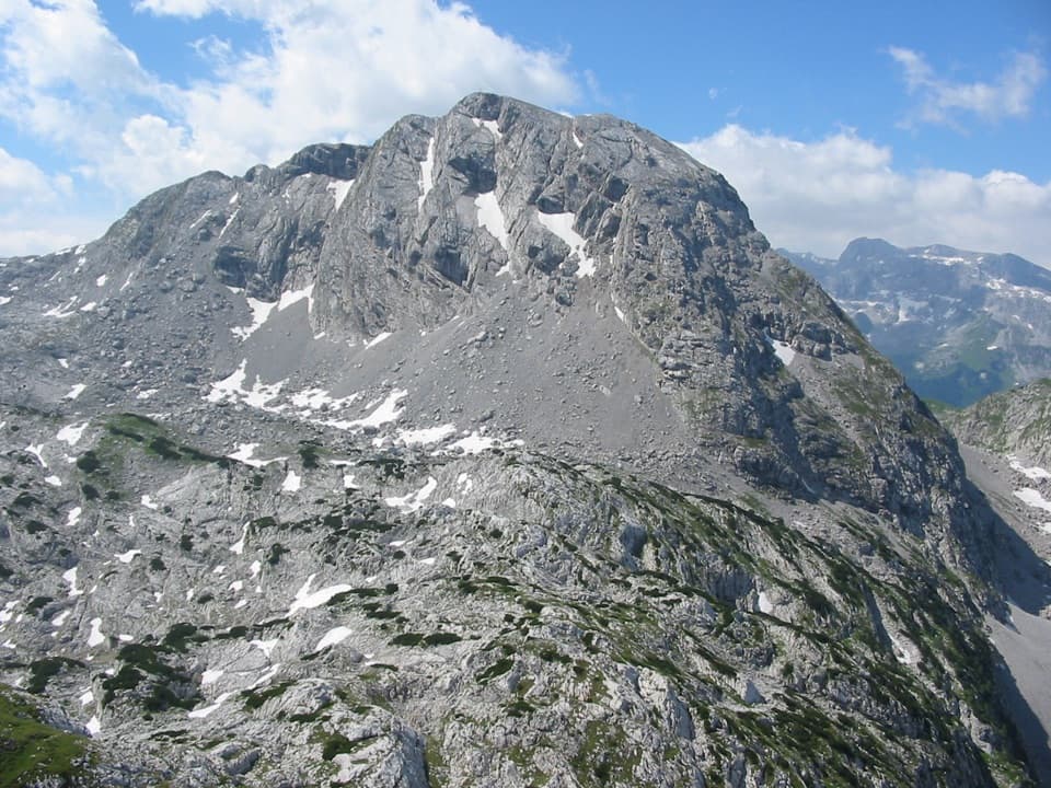 ChallengingKahlersberg via Mauslochsteig19.5 km · 9 hr · 0.4 km awayA full day to Kahlersberg, with a wire-secured west-wall climb.
 ChallengingKleine Reibn18.7 km · 9 hr · 0.4 km awayA long alpine loop over a summit plateau to a turquoise lake.
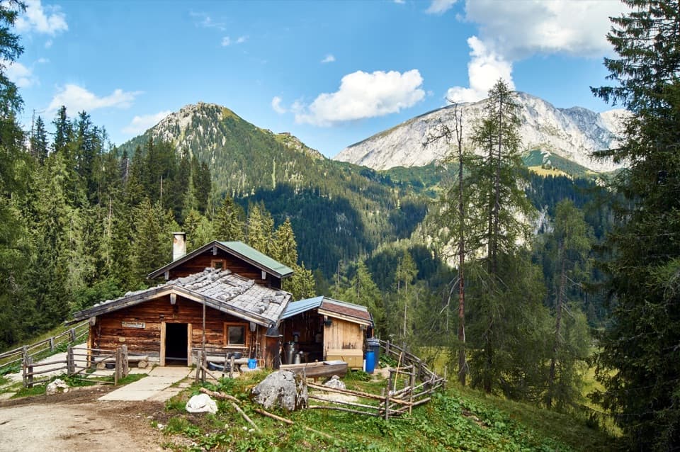 ModeratePriesbergalm via Königsweg11.7 km · 4 hr · 0.4 km awayAlpine meadows and the Watzmann’s East Face reward the climb.
 ChallengingHohes Brett Loop from Hinterbrand15.3 km · 8 hr · 0.5 km awayA hard alpine loop with cable-secured rock and a broad summit.
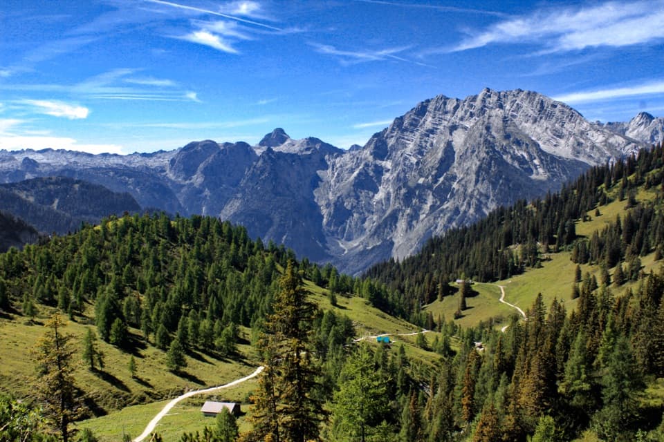 ModerateJenner to Königssee via Stahlhaus10 km · 4 hr · 2.3 km awayTwo alpine huts, then a long descent to Königssee
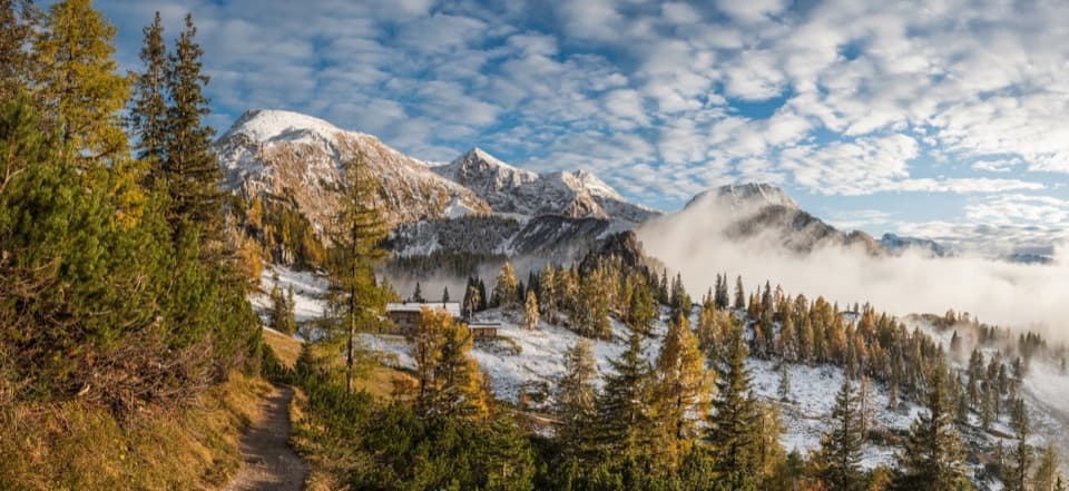 ChallengingSchneibsteinhaus Trail via Hochbahn14.7 km · 8.5 hr · 2.6 km awayA full-day climb from spruce forest to an alpine hut.
 ChallengingGroße Sommer-Reibn56.6 km · 1 days · 2.6 km awaySix days of huts, lakes and exposed passes in limestone country.
 ModerateKönigsbachalm via Hochbahn8.2 km · 3.8 hr · 2.8 km awayA steep forest climb ends at a mountain pasture above Königssee.
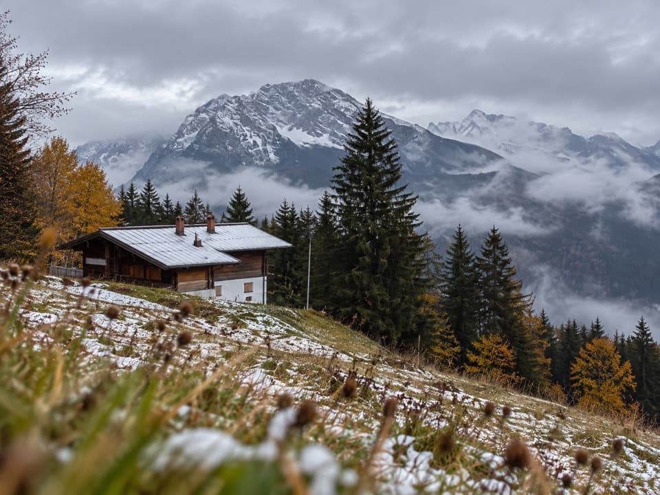 Restaurant · 1.7 km awayDr.-Hugo-Beck-HausWatzmann views reward the uphill walk to this Jenner hut.
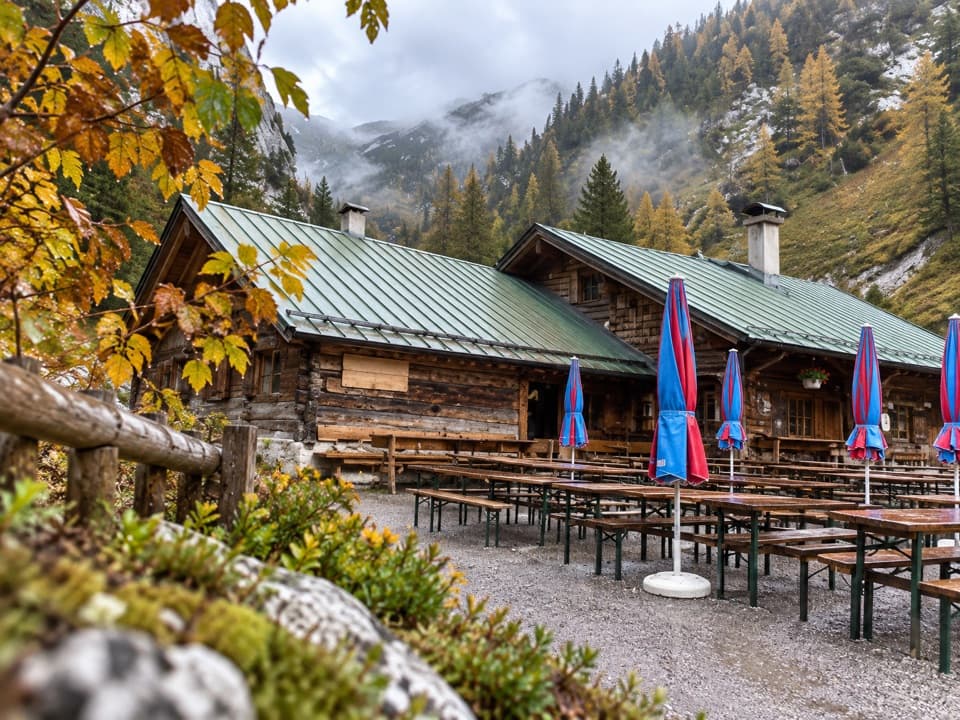 Restaurant · 1.9 km awayMitterkaseralm am JennerHomemade cakes and Bavarian snacks make this a good Jenner detour.
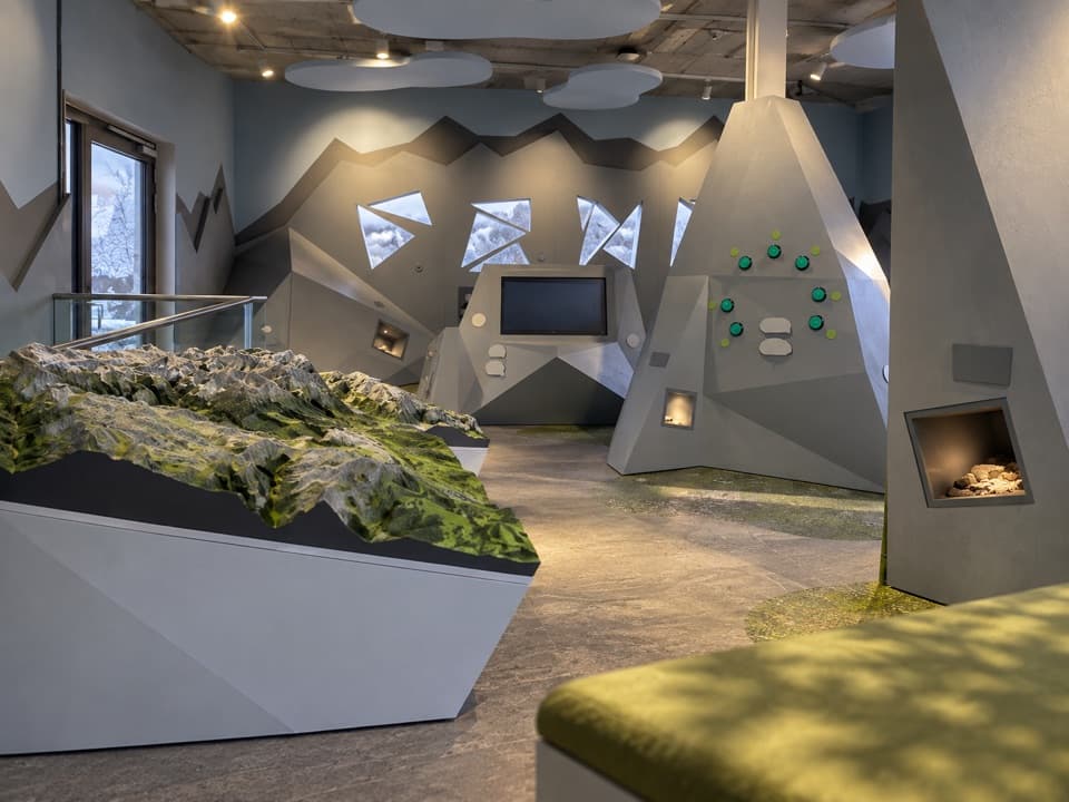 Visitor center · 2.3 km awayJenner National Park Information PointA free, hands-on look at life in the rocky Alps.
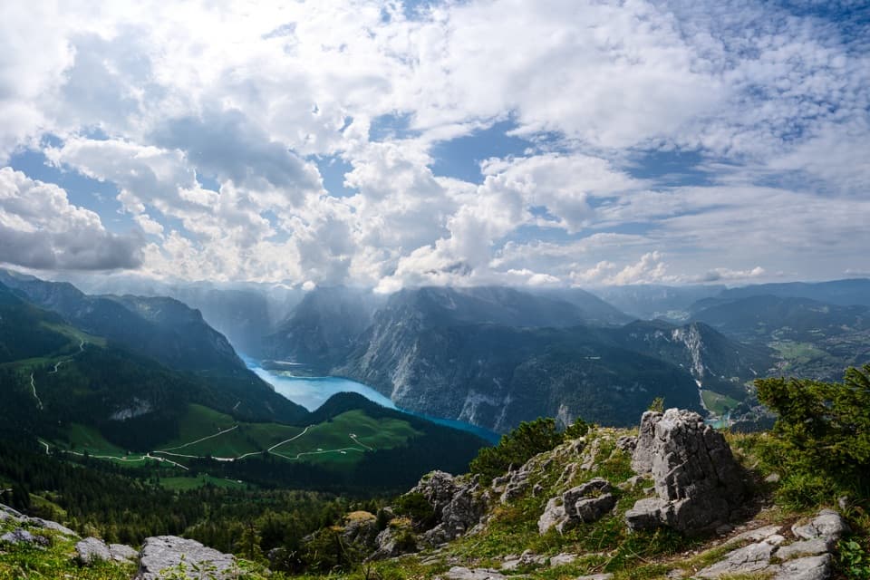 Sight · 2.5 km awayKönigsblick (Jenner Summit Viewpoint)A steep climb for a fjord-like view down Königssee.
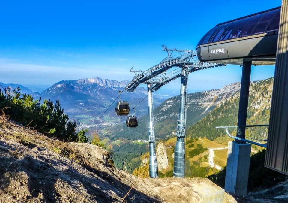 Sight · 2.5 km awayJennerbahnRide above Königssee, then see the park’s free rock-habitat exhibit.
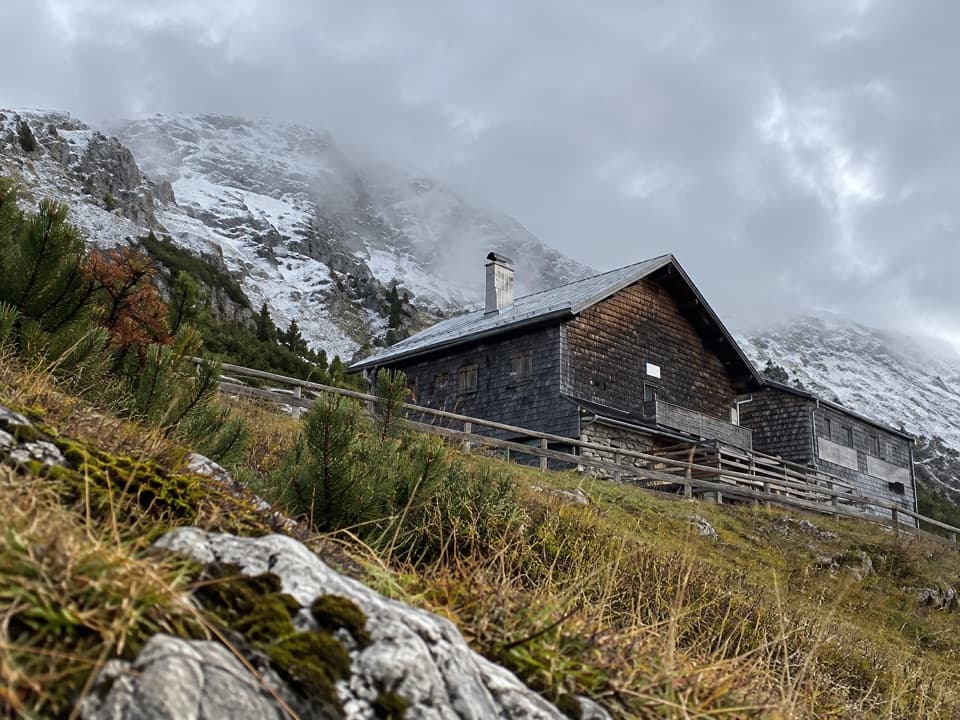 Lodging · 2.7 km awayCarl-von-Stahl-HausA high alpine refuge with big views and hearty regional food.
 Lodging · 2.9 km awaySchneibsteinhausA ridge-top refuge with a terrace facing the Watzmann East Face.
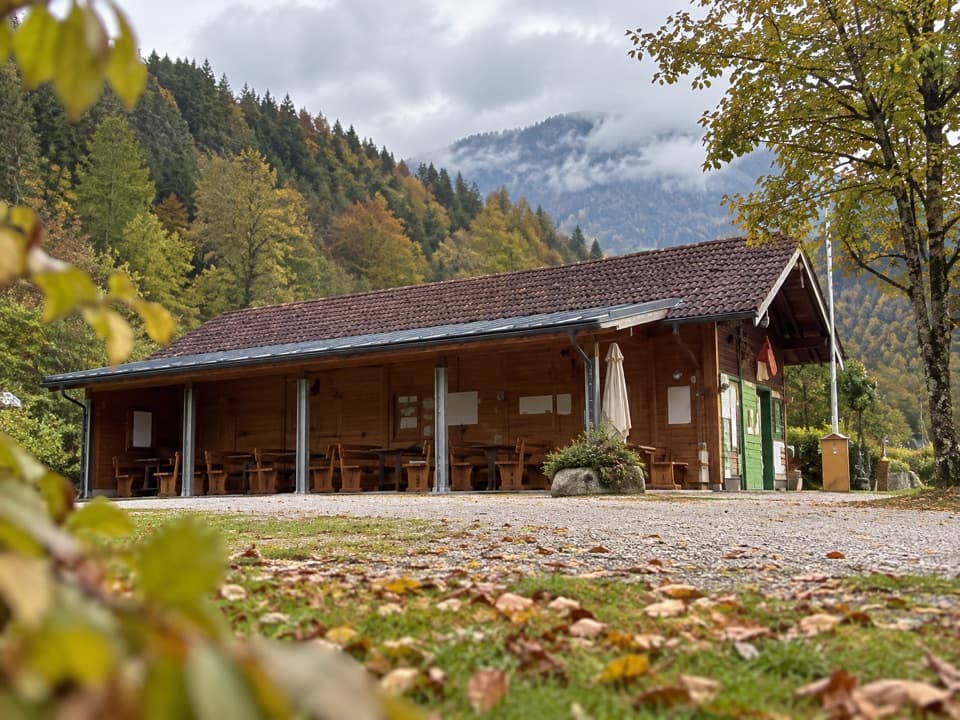 Campground · 2.9 km awayCamping MühlleitenA Königssee camping base with direct Watzmann views.
Parkwolf’s Berchtesgaden ranking

The audio tour guide for the drive, plus offline maps, trails, and wildlife heatmaps for when the signal drops.




