Parking
Use Wanderparkplatz Oberjettenberg beside the Bundeswehr cableway valley station. The route follows the paved access toward the upper gate, then turns right onto gravel.

Berchtesgaden National Park, BY
A big climb to an alpine hut past a saddle of memorials.
Overview
Map & elevation
Plan your hike

The highest, rockiest slopes around here are a summer buffet for grizzly bears.
Berchtesgaden Tour Guide
Parkwolf is a GPS audio tour guide for Berchtesgaden National Park. As you drive, it chimes in with what’s ahead: hidden gems, upcoming stops, history, geology, and wildlife, right through your car’s speakers.
More stories near here in the app
“Fantastic app with many points of information… It’s great to just turn on while you’re driving and it gives you an audio tour of the national Park. We love it!!!!”


Trail guide
Neue Traunsteiner Hütte via Schrecksattel is the northern approach from Oberjettenberg: a 15.3 km (9.5 mi) out-and-back, with 7.7 km each way to the hut and the same route back. The climb gains just over 1,000 m before easing across the plateau. Allow about six to six and a half hours of walking, plus your stop at the hut. Choose this for a long ascent with a memorable pass and a real hut at the end, not for a quick taste of the Reiter Alm. The separate Wachterlsteig from Schwarzbachwacht is shorter and climbs less: 6.9 km one way and 702 m up to the same hut.
Park at Wanderparkplatz Oberjettenberg by the Bundeswehr cableway's valley station. The route follows the paved access toward the upper military-area gate, then turns onto a gravel road on the right. This first stretch climbs through forest on a broad track with long switchbacks. After about an hour and a half, you'll reach a small clearing with benches. The track narrows and gets steeper beyond it, so this is a good place for a proper pause before the rougher climb.
The path winds up below the north face, then crosses beneath the limestone wall past a small Madonna fixed to the rock. Rocky steps bring you to Schrecksattel. This is the steepest, roughest part of the approach, but it is an alpine passage rather than a technical scramble. At the saddle, look for the wooden Christ figure and the small memorial crosses for mountain guides who died on the range. They mark the high point before the path opens onto the plateau.
Past the saddle, the trail broadens and rolls across the high plateau before dropping gently toward the hut. It's about another half hour from the pass. The Reiter Alm is a table-shaped limestone massif; much of its plateau is covered in dwarf mountain pine, with alpine meadows and a high moor near the Reitertrett. Gentian and edelweiss grow in these meadows. The area is habitat for black grouse and mountain hares, while red deer and chamois are more often seen.
The Neue Traunsteiner Hütte stands at about 1,560 m and has dining rooms and overnight accommodation. Check whether it will be serving before you count on a meal. Its older namesake opened on the Austrian side in 1901. After Nazi Germany levied a 1,000 Reichsmark border-crossing fee in 1933, the Traunstein Alpine Club section built this hut on the Bavarian side; it opened in 1938 and later took the name Karl-Merkenschlager-Haus. Retrace the same trail to return; the descent is usually allowed about two and a half hours.
Wildlife
 14 sightingsBearded VultureMost seen around noonSighting map
 29 sightingsGolden EagleMost seen around noonSighting map
 22 sightingsRed DeerMost seen around 6 PMSighting map
 131 sightingsAlpine ChamoisMost seen around 5 PMSighting map
 65 sightingsAlpine SalamanderMost seen around 11 AMSighting map
 63 sightingsAlpine MarmotMost seen around 9 AMSighting map
Sighting maps show where each species has been reported across Berchtesgaden. Wildlife moves, so no sighting is guaranteed.
Keep exploring
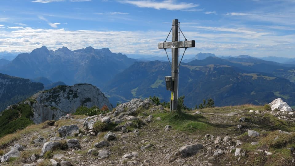 ModerateGroßer Weitschartenkopf Trail from Neue Traunsteiner Hütte3.3 km · 2.5 hr · 4.5 km awayA steep hut-top climb, then wide views over the Reiter Alpe.
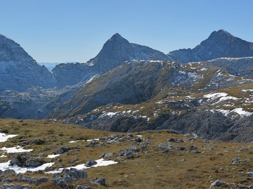 ModerateWagendrischelhorn – Normalweg9.5 km · 7 hr · 4.5 km awayA rocky out-and-back to a panoramic 2,251 m summit.
 ModerateEdelweißlahnerkopf7.5 km · 4.5 hr · 4.5 km awayLook down to Hintersee, with Watzmann and Hochkalter beyond
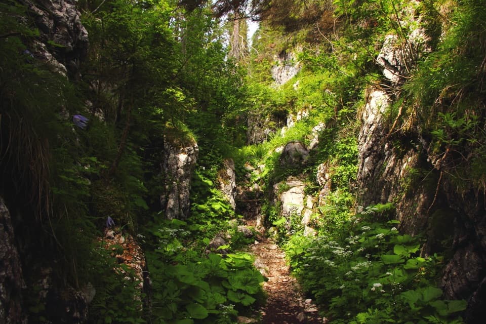 ChallengingNeue Traunsteiner Hütte via Wachterlsteig14.2 km · 8 hr · 5.3 km awayA steep forest climb opens onto a high karst plateau and hut.
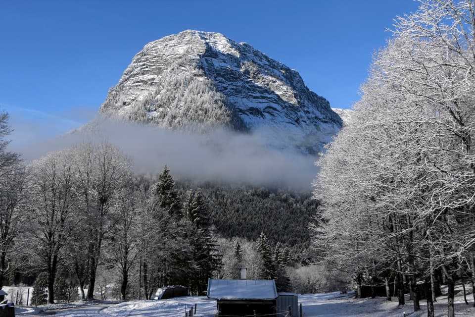 ChallengingEisberg via Eisbergsteig and Eingeschossener Steig12.4 km · 7.5 hr · 7.4 km awayThree summit crosses, an unmarked ridge, and a serious cable ledge.
 ChallengingBlaueishütte via Schärtenalm10.5 km · 5 hr · 8.2 km awayA steady, steep climb from Hintersee to a hut beneath the Blaueis.
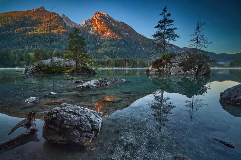 EasyPrinzregent-Luitpold-Weg2.7 km · 1 hr · 8.2 km awayAn easy lake loop with mountain reflections and painters’ easels.
 ModerateSchärtenalm from Hintersee7.1 km · 3.5 hr · 8.2 km awayA steep forest climb ends at a rustic hut above Hintersee.Lodging · 4.5 km awayNeue Traunsteiner HütteA long hike leads to this historic hut on the Reiter Alm.
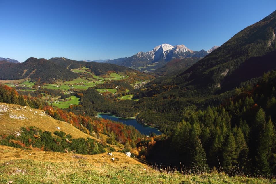 Sight · 7.5 km awayHalsalmA rustic farm hut above Hintersee, with a view worth the climb.
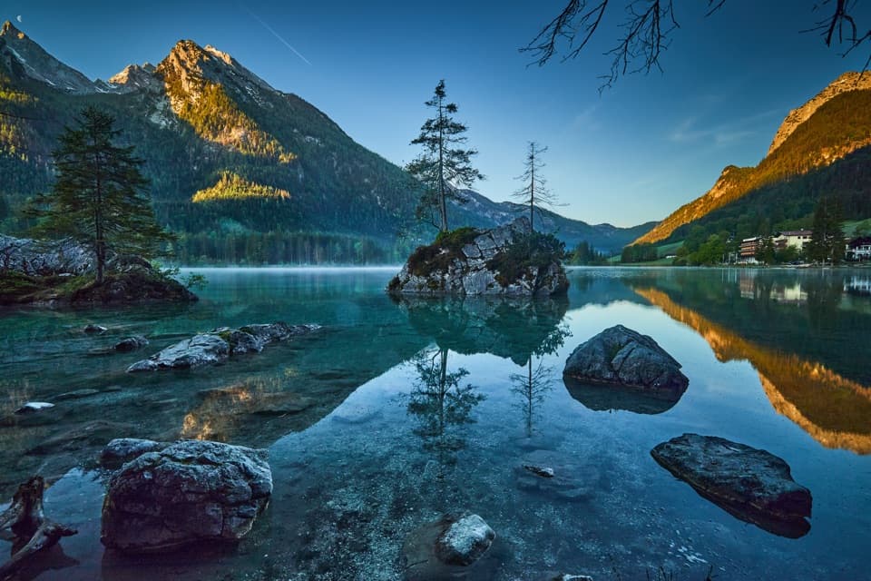 Sight · 7.9 km awayHinterseeA gentle lake loop under mountain walls and clear reflections.
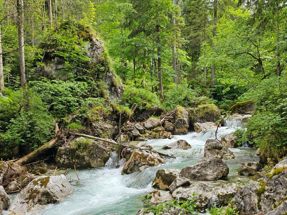 Sight · 8.1 km awayZauberwaldRushing water cuts through a Bronze Age boulder forest.
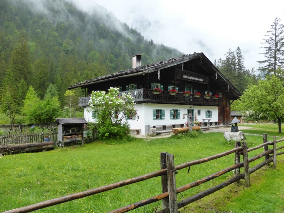 Visitor center · 8.3 km awayKlausbachhausA farmhouse museum, garden path, and easy walk into eagle country.
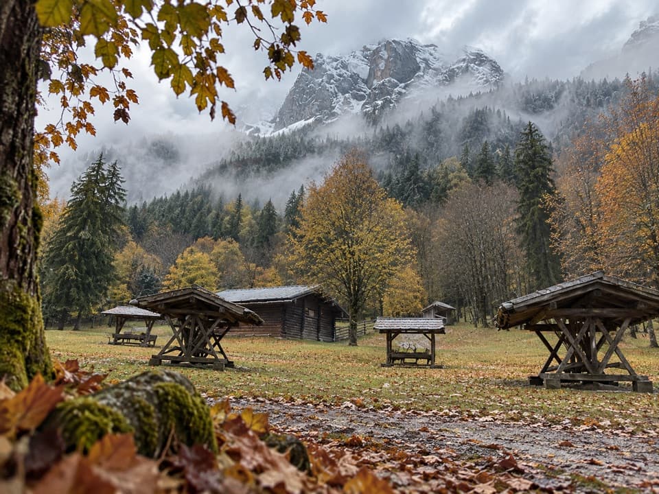 Sight · 9.2 km awayKlausbachtal Red Deer FeedingA winter walk for a chance to see red deer gather.
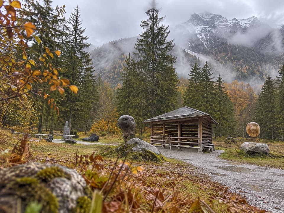 Sight · 9.2 km awayGolden Eagle Observation PointA short valley walk for a patient look at golden-eagle country.Restaurant · 9.6 km awaySchärtenalmA proper uphill hut stop for homemade cake and big mountain views.
Parkwolf’s Berchtesgaden ranking

The audio tour guide for the drive, plus offline maps, trails, and wildlife heatmaps for when the signal drops.




