Parking
Use the fee-charging Wanderparkplatz Wachterl / Schwarzbachwacht on Alpenstraße. Visitor comments suggest weekend capacity can be tight and mobile reception weak; the current tariff, payment method and overflow rules were not verified.
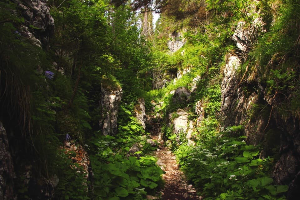
Berchtesgaden National Park, BY
A steep forest climb opens onto a high karst plateau and hut.
Overview
Map & elevation
Plan your hike

The highest, rockiest slopes around here are a summer buffet for grizzly bears.
Berchtesgaden Tour Guide
Parkwolf is a GPS audio tour guide for Berchtesgaden National Park. As you drive, it chimes in with what’s ahead: hidden gems, upcoming stops, history, geology, and wildlife, right through your car’s speakers.
More stories near here in the app
“Fantastic app with many points of information… It’s great to just turn on while you’re driving and it gives you an audio tour of the national Park. We love it!!!!”


Trail guide
From Wanderparkplatz Wachterl / Schwarzbachwacht, this is an out-and-back on AV Weg 470 to Neue Traunsteiner Hütte, returning the same way. Plan on 14.2 km (8.8 mi) round trip, about eight hours, and roughly 850 m of climbing. The payoff is a sustained mountain approach that leaves the forest for a high limestone plateau, with a seasonal hut as its clear turnaround. This suits sure-footed hikers who want a long alpine day, not a short stop.
The opening stretch drops gently along a forest road toward Schwarzbachalm. After the turn, the route narrows and climbs steeply through mountain forest, with stepped sections on the way to the remains of Schwegelalm. Keep to the marked 470 route; in poor visibility the path needs more attention.
Beyond Schwegelalm, the path moves over several terrain steps and then into gentler rises and dips across the Reiter Alm’s karst upland. It passes former alpine pasture, larch and stone-pine stands, dwarf-pine lanes and the Saugasse. The hut stays hidden until you pass the Edelweißlahner junction; it appears about 50 m farther on. From the hut, the Häuselhörner make a strong limestone backdrop for a photo from the terrace.
Neue Traunsteiner Hütte sits at about 1,560 m in open high pasture near the Bavaria–Salzburg border. There is no public road to it; the cableway from Oberjettenberg is reserved for the military, so hikers return on foot. The hut has dining and overnight rooms when open, but it is seasonal; check its operating dates before relying on a meal or bed.
The route crosses a high plateau with 175 recorded plant species and old larch and Swiss stone-pine stands. It is a noticeable change from the shaded climb below: the forest gives way to open pasture, karst ground and low pines around the hut.
The current hut replaced an older 1901 house just over the Austrian border. A 1933 border-crossing charge of 1,000 Reichsmarks threatened the earlier hut’s finances, so the larger replacement was built on the Bavarian side and opened on 4 September 1938. It is also known as the Karl-Merkenschlager-Haus, after the section chairman who led its construction.
Wildlife
 15 sightingsBearded VultureMost seen around noonSighting map
 31 sightingsGolden EagleMost seen around noonSighting map
 22 sightingsRed DeerMost seen around 6 PMSighting map
 132 sightingsAlpine ChamoisMost seen around 5 PMSighting map
 65 sightingsAlpine SalamanderMost seen around 11 AMSighting map
 63 sightingsAlpine MarmotMost seen around 9 AMSighting map
Sighting maps show where each species has been reported across Berchtesgaden. Wildlife moves, so no sighting is guaranteed.
Keep exploring
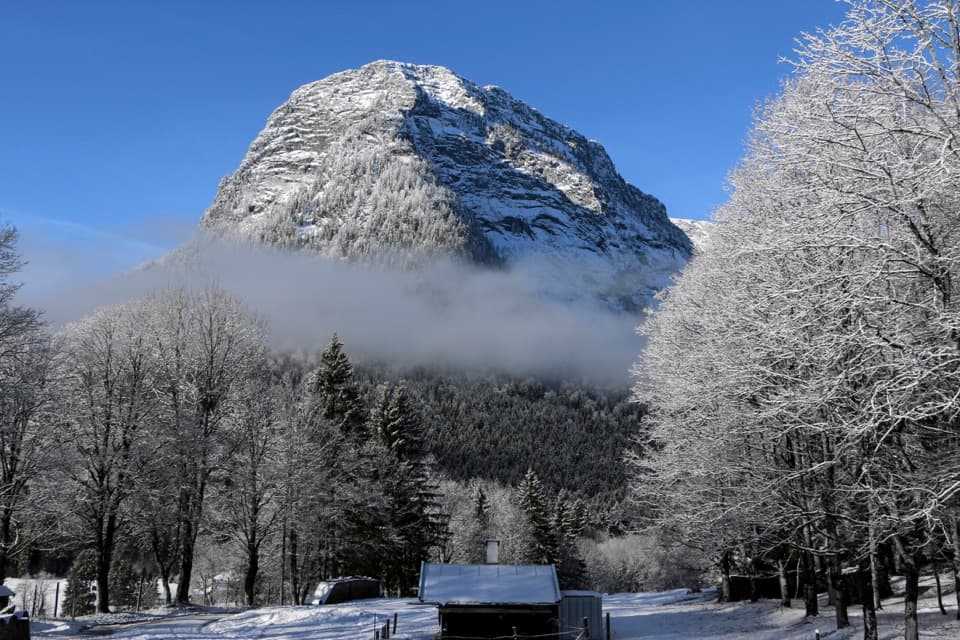 ChallengingEisberg via Eisbergsteig and Eingeschossener Steig12.4 km · 7.5 hr · 2.5 km awayThree summit crosses, an unmarked ridge, and a serious cable ledge.
 ChallengingBlaueishütte via Schärtenalm10.5 km · 5 hr · 3.5 km awayA steady, steep climb from Hintersee to a hut beneath the Blaueis.
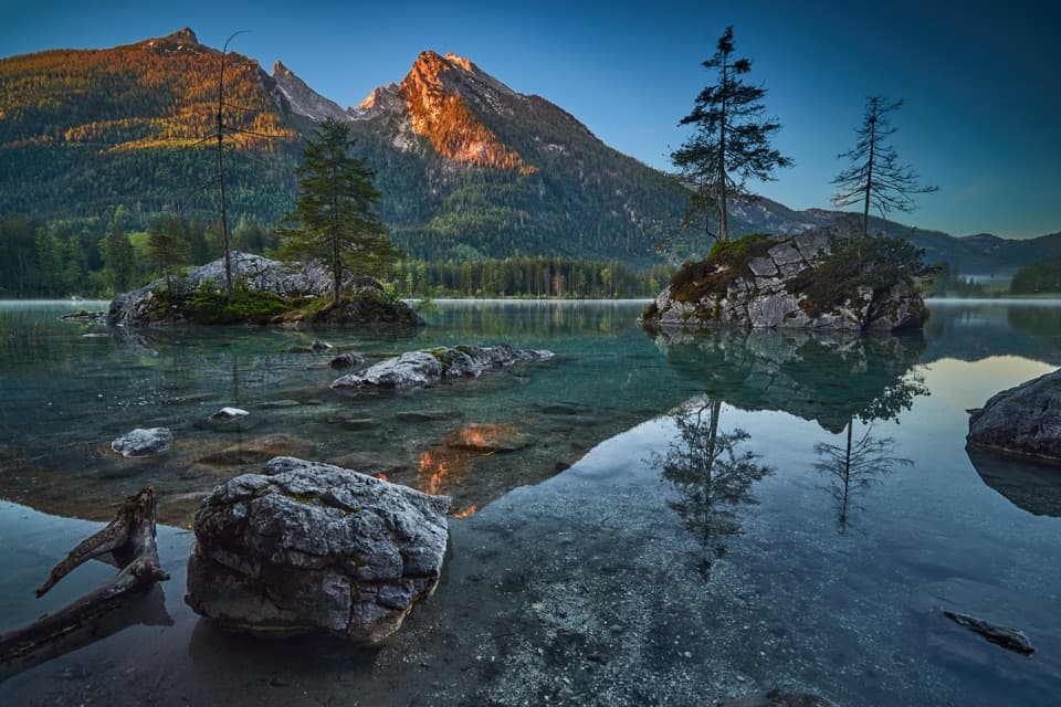 EasyPrinzregent-Luitpold-Weg2.7 km · 1 hr · 3.5 km awayAn easy lake loop with mountain reflections and painters’ easels.
 ModerateSchärtenalm from Hintersee7.1 km · 3.5 hr · 3.5 km awayA steep forest climb ends at a rustic hut above Hintersee.
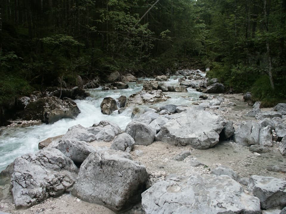 EasyNaturlehrpfad Zauberwald3.3 km · 1.3 hr · 3.5 km awayClear streams and old boulders lead into a lakeside loop.
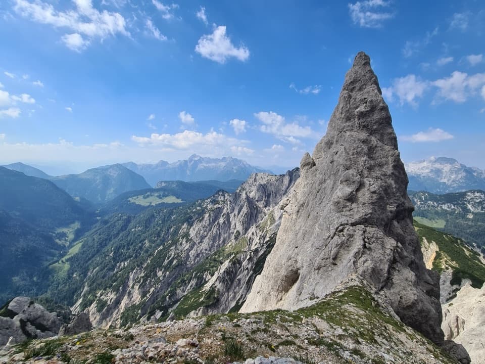 ChallengingReiter Alm Hut Tour via Schaflsteig25.3 km · 12 hr · 4.2 km awayA 12-hour hut loop with a steep, secured alpine climb.
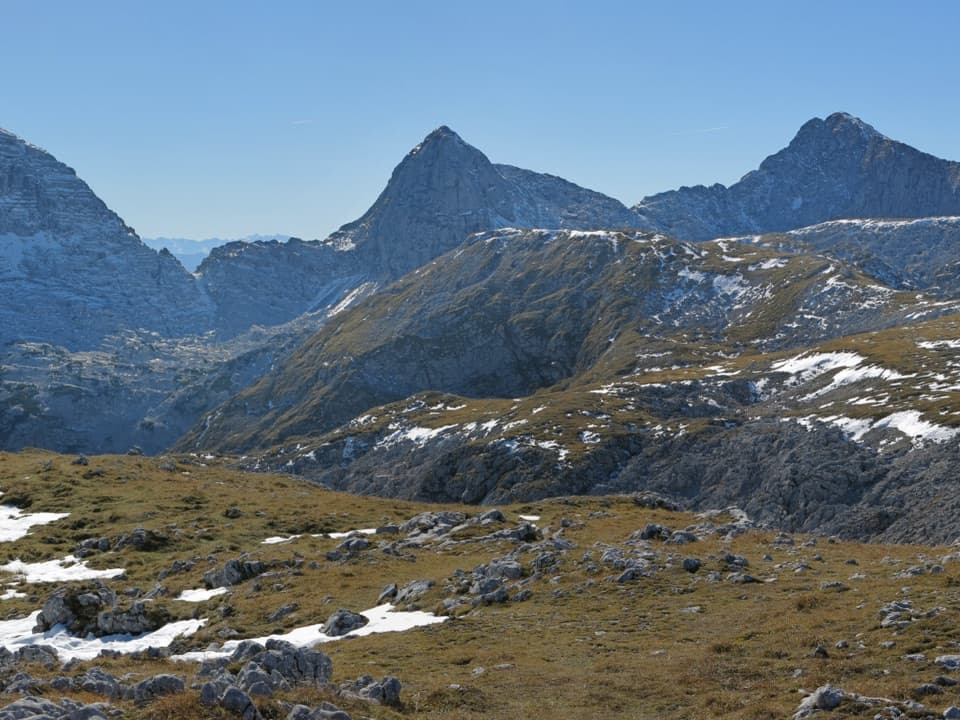 ModerateWagendrischelhorn – Normalweg9.5 km · 7 hr · 4.2 km awayA rocky out-and-back to a panoramic 2,251 m summit.
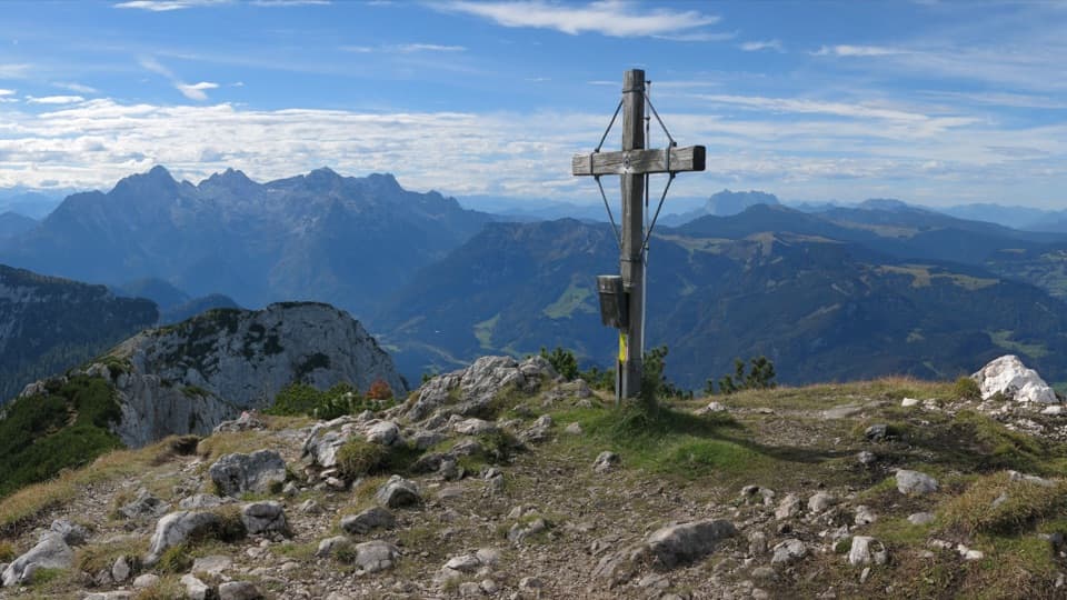 ModerateGroßer Weitschartenkopf Trail from Neue Traunsteiner Hütte3.3 km · 2.5 hr · 4.2 km awayA steep hut-top climb, then wide views over the Reiter Alpe.
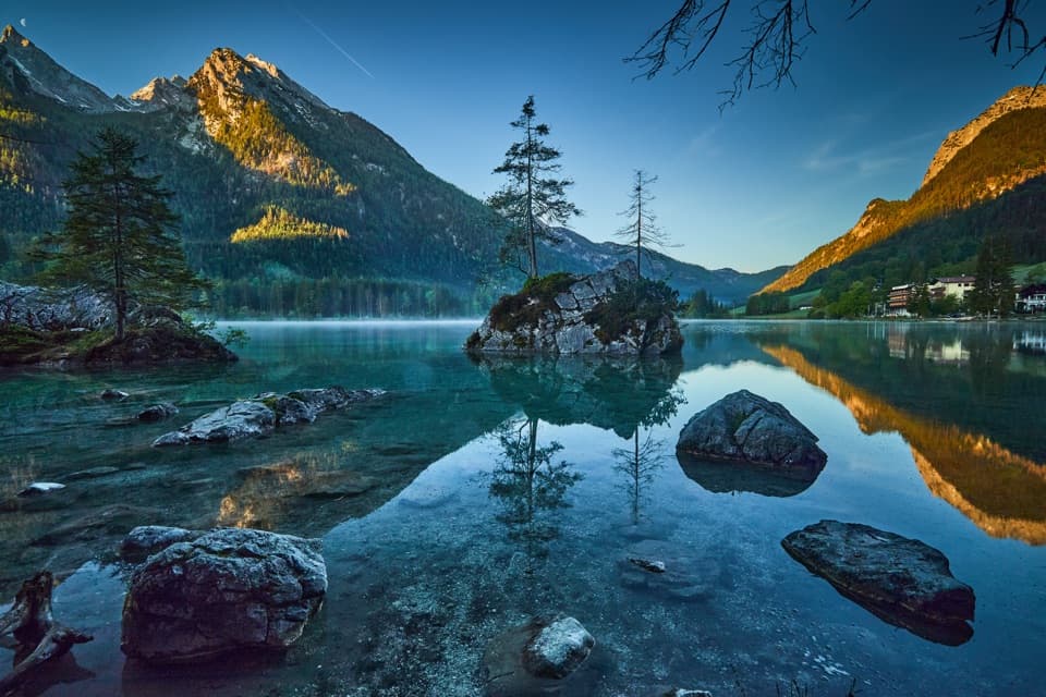 Sight · 3.3 km awayHinterseeA gentle lake loop under mountain walls and clear reflections.
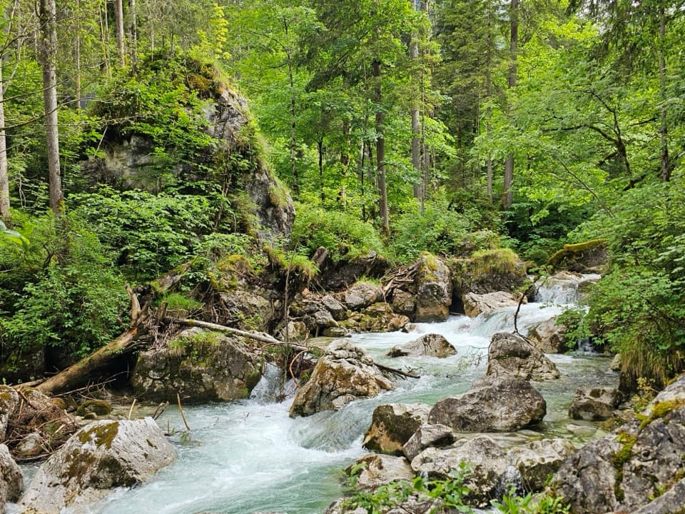 Sight · 3.4 km awayZauberwaldRushing water cuts through a Bronze Age boulder forest.
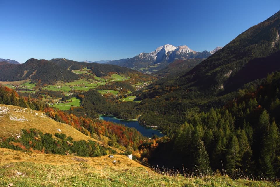 Sight · 4 km awayHalsalmA rustic farm hut above Hintersee, with a view worth the climb.
 Lodging · 4.2 km awayNeue Traunsteiner HütteA long hike leads to this historic hut on the Reiter Alm.
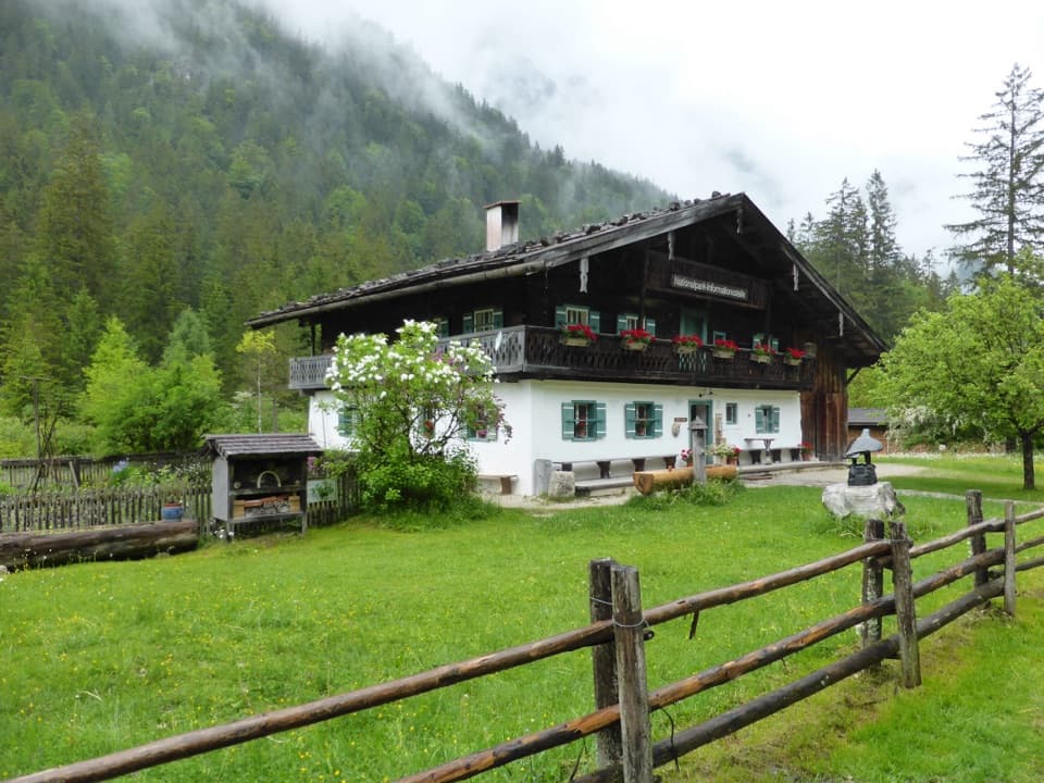 Visitor center · 4.3 km awayKlausbachhausA farmhouse museum, garden path, and easy walk into eagle country.Restaurant · 4.7 km awaySchärtenalmA proper uphill hut stop for homemade cake and big mountain views.Lodging · 5.6 km awayBlaueishütteA proper alpine hut after a steep climb into the Blaueiskar.
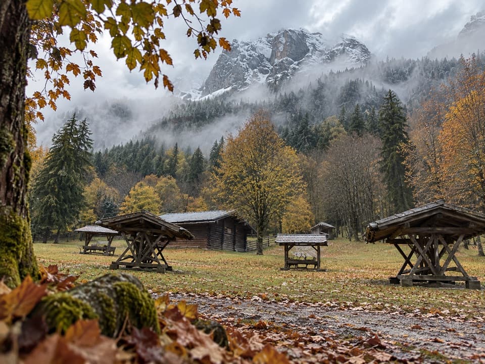 Sight · 5.8 km awayKlausbachtal Red Deer FeedingA winter walk for a chance to see red deer gather.
Parkwolf’s Berchtesgaden ranking

The audio tour guide for the drive, plus offline maps, trails, and wildlife heatmaps for when the signal drops.




