Parking
The hut is reached on foot only. For the Wachterlsteig approach, start at Wanderparkplatz Schwarzbachwacht; another route comes from Oberjettenberg via Schrecksattel. Neither valley approach is included in the summit-route distance.
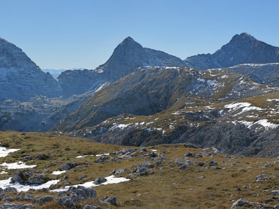
Berchtesgaden National Park, BY
A rocky out-and-back to a panoramic 2,251 m summit.
Overview
Wagendrischelhorn Normalweg is a mapped 5.9-mile out-and-back from Neue Traunsteiner Hütte to the 2,251-meter summit and back along the same corridor. Allow about seven hours on the mountain: the climb is estimated at 3½ hours, then you retrace the same route. This is the normal hiking line, not the separate circuit that climbs by via ferrata and descends this way.
 Parkwolf’s verdictIs this the hike for you?
Map & elevation
Plan your hike

The highest, rockiest slopes around here are a summer buffet for grizzly bears.
Berchtesgaden Tour Guide
Parkwolf is a GPS audio tour guide for Berchtesgaden National Park. As you drive, it chimes in with what’s ahead: hidden gems, upcoming stops, history, geology, and wildlife, right through your car’s speakers.
More stories near here in the app
“Fantastic app with many points of information… It’s great to just turn on while you’re driving and it gives you an audio tour of the national Park. We love it!!!!”


Trail guide
From the hut, head first to Alte Traunsteiner Hütte, then follow Weg 473 through Roßgasse. The path rolls across the plateau before the steeper climb. At the signed Wagendrischelhorn Normalweg branch, leave the route toward Mayrbergscharte behind. The normal line climbs the north flank over broken rock to a scree field and notch, then turns left to the summit. Return to the hut the same way.
The plateau is limestone karst, with sinkholes, short steep rock steps and mountain pine. The final section is broken rock and scree. The route is graded medium and is described as mostly not fall-exposed, but finding the line can be difficult in poor visibility. Early-summer snowfields can make the crossing awkward. The summit has a wide panorama across the Reiter Alm.
Neue Traunsteiner Hütte is reachable only on foot. One approach starts at Wanderparkplatz Schwarzbachwacht and follows Wachterlsteig; another comes from Oberjettenberg via Schrecksattel. Neither valley approach is included in the 5.9-mile summit walk, so staying at the hut is a practical way to split the long access hike from the climb.
Wildlife
 14 sightingsBearded VultureMost seen around noonSighting map
 29 sightingsGolden EagleMost seen around noonSighting map
 22 sightingsRed DeerMost seen around 6 PMSighting map
 131 sightingsAlpine ChamoisMost seen around 5 PMSighting map
 65 sightingsAlpine SalamanderMost seen around 11 AMSighting map
 63 sightingsAlpine MarmotMost seen around 9 AMSighting map
Sighting maps show where each species has been reported across Berchtesgaden. Wildlife moves, so no sighting is guaranteed.
Keep exploring
 ModerateEdelweißlahnerkopf7.5 km · 4.5 hr · At the trailheadLook down to Hintersee, with Watzmann and Hochkalter beyond
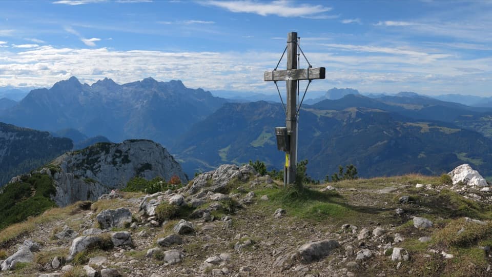 ModerateGroßer Weitschartenkopf Trail from Neue Traunsteiner Hütte3.3 km · 2.5 hr · At the trailheadA steep hut-top climb, then wide views over the Reiter Alpe.
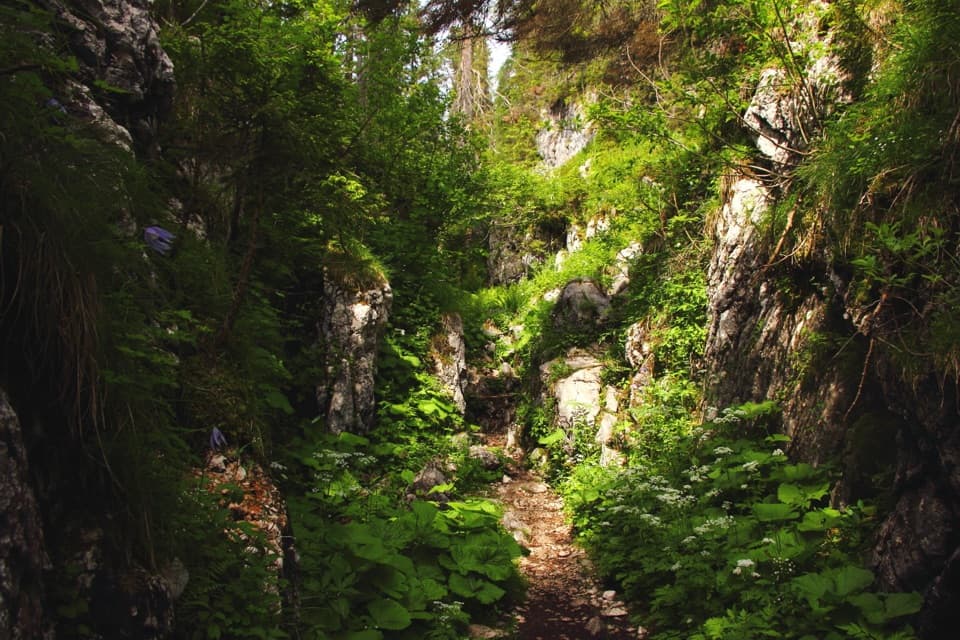 ChallengingNeue Traunsteiner Hütte via Wachterlsteig14.2 km · 8 hr · 4.2 km awayA steep forest climb opens onto a high karst plateau and hut.
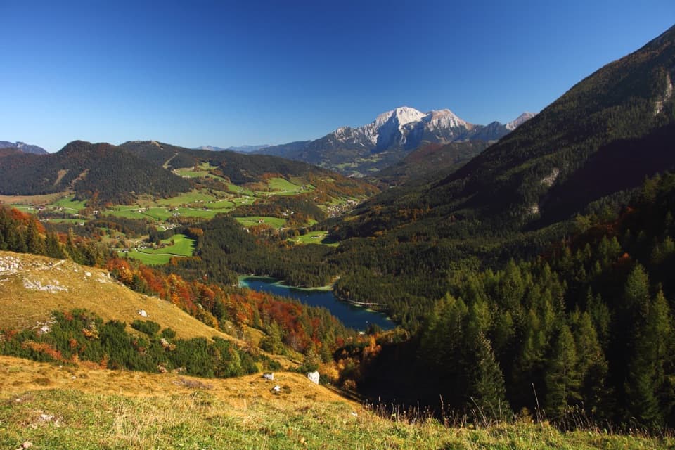 ModerateHalsalm-Rundweg6.4 km · 3.5 hr · 4.5 km awayA steady climb to a pasture balcony above Hintersee.
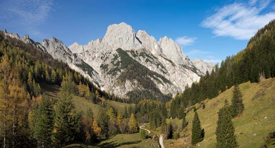 ModerateBindalm via Klausbachtal14 km · 4 hr · 4.5 km awayA valley walk to old huts below the Ramsau Dolomites.
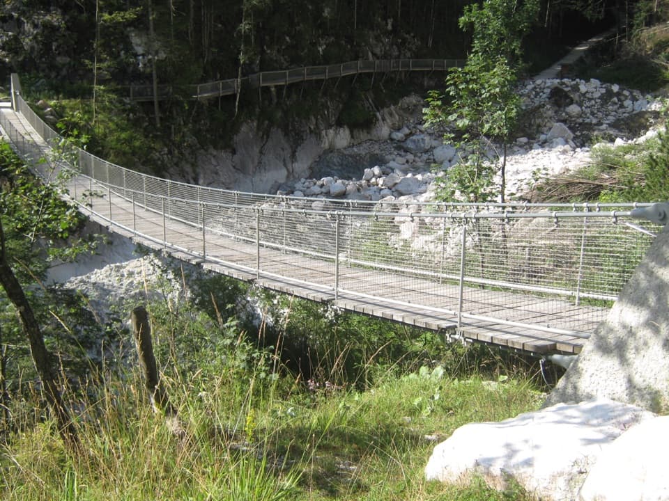 EasyKlausbachtal bis Hängebrücke7.4 km · 3 hr · 4.5 km awayA broad valley walk to a bridge over a 1999 rockfall scar.
 ChallengingBöslsteig to Neue Traunsteiner Hütte9.1 km · 6 hr · 4.5 km awayCable-secured steps lead to a hut on the karst plateau.
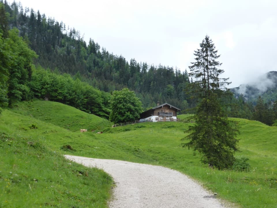 EasyRagertalm5.8 km · 1.5 hr · 4.5 km awayA gentle Klausbachtal walk to a working alpine pasture.
 Lodging · At the trailheadNeue Traunsteiner HütteA long hike leads to this historic hut on the Reiter Alm.Sight · 3.7 km awayHalsalmA rustic farm hut above Hintersee, with a view worth the climb.
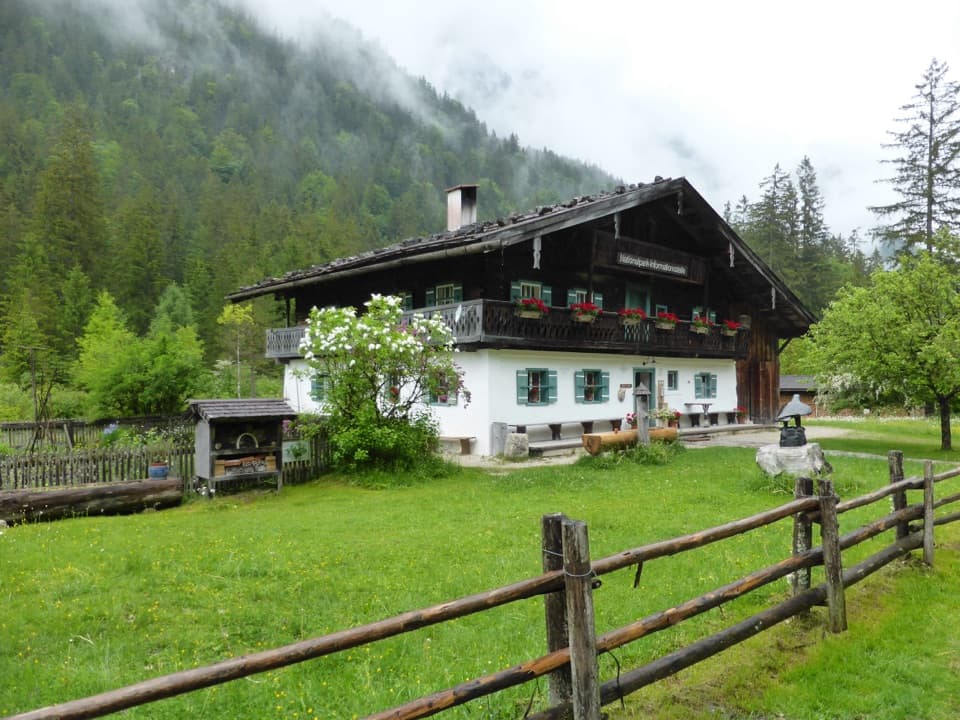 Visitor center · 4.5 km awayKlausbachhausA farmhouse museum, garden path, and easy walk into eagle country.
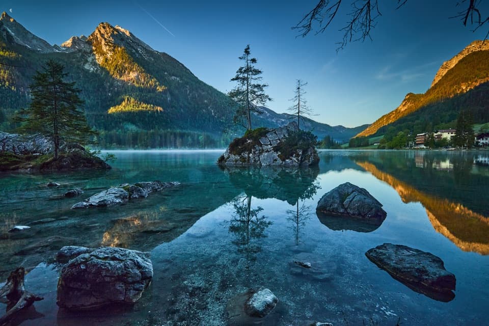 Sight · 4.7 km awayHinterseeA gentle lake loop under mountain walls and clear reflections.
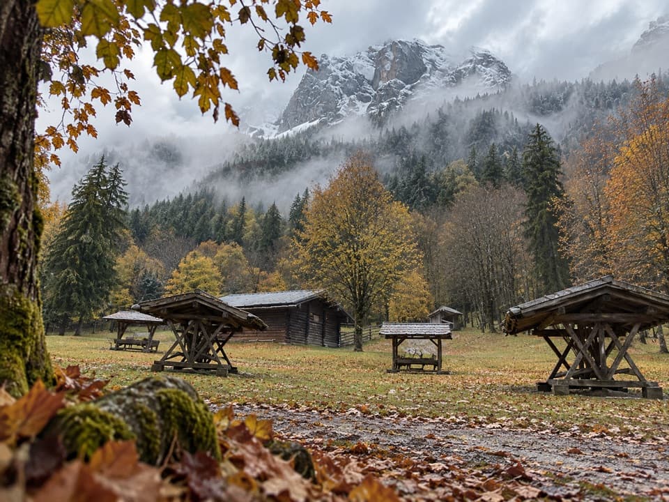 Sight · 4.9 km awayKlausbachtal Red Deer FeedingA winter walk for a chance to see red deer gather.
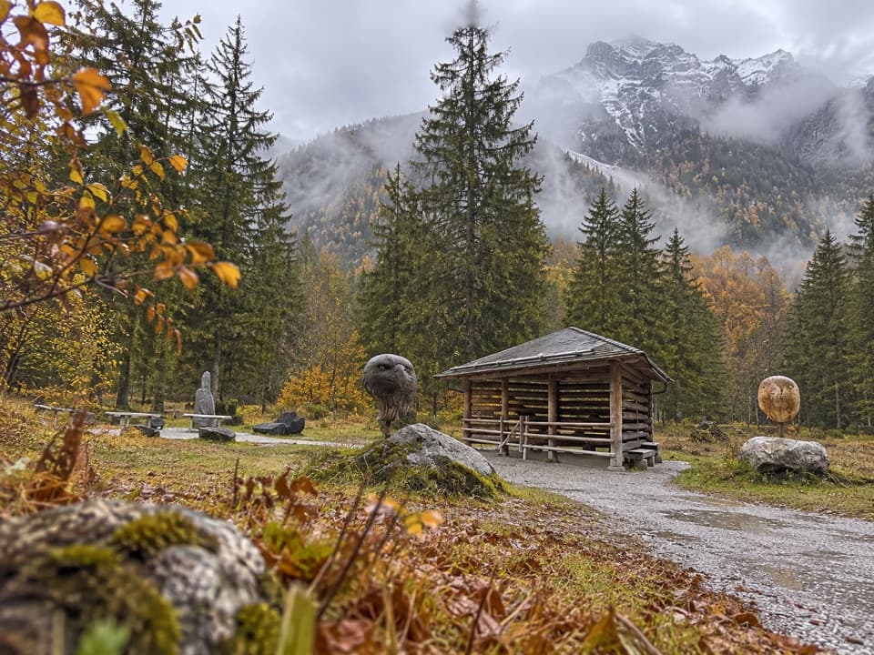 Sight · 5 km awayGolden Eagle Observation PointA short valley walk for a patient look at golden-eagle country.
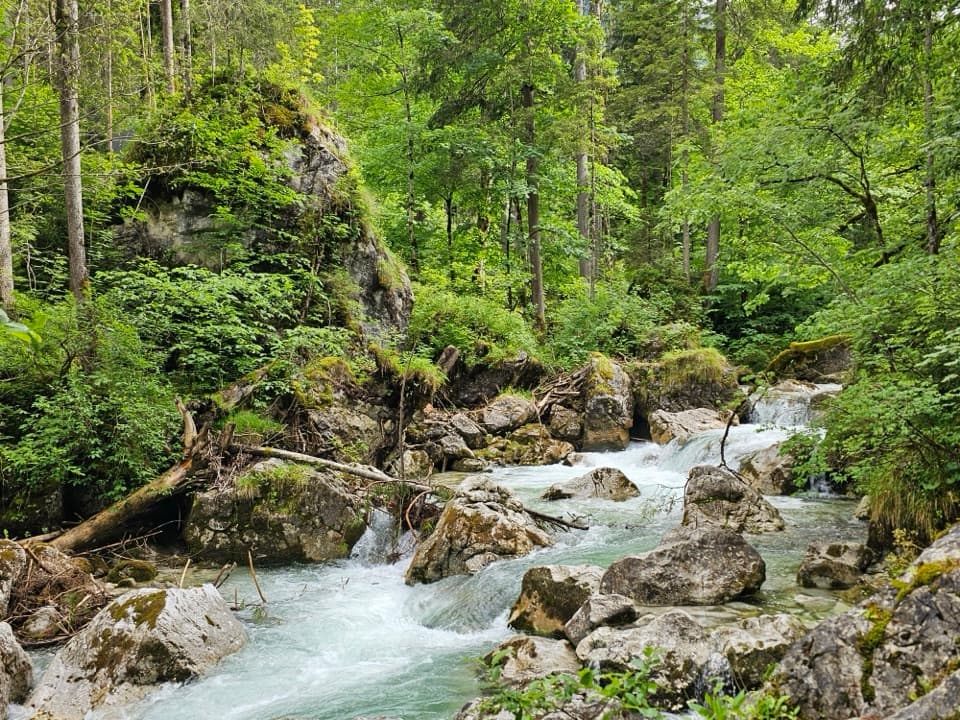 Sight · 5 km awayZauberwaldRushing water cuts through a Bronze Age boulder forest.Sight · 5.4 km awayKlausbach Suspension BridgeA 55-metre bridge over a creek cutting through rockfall debris.
Parkwolf’s Berchtesgaden ranking
The audio tour guide for the drive, plus offline maps, trails, and wildlife heatmaps for when the signal drops.





