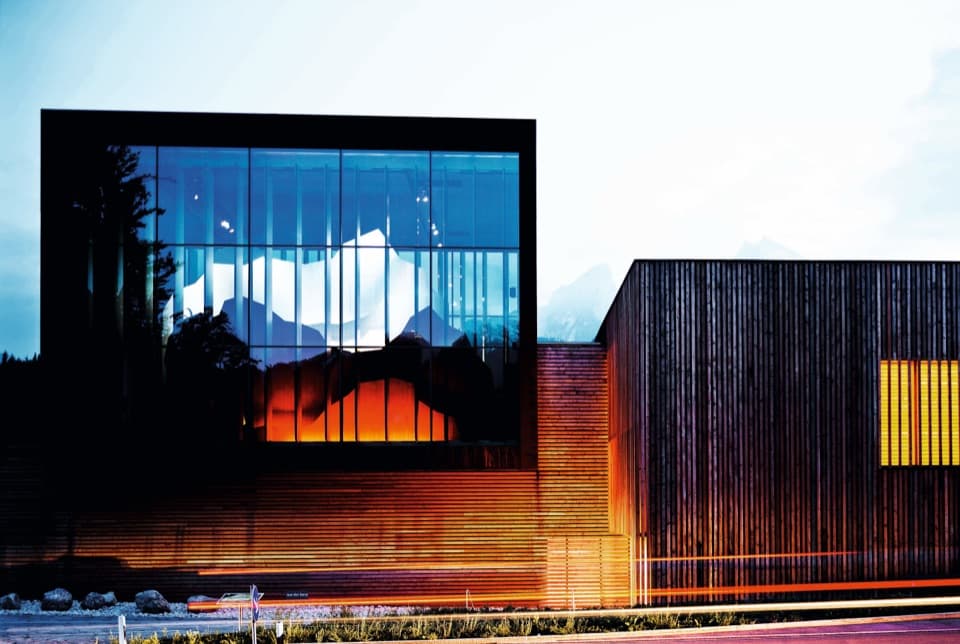
Neue Traunsteiner Hütte in Berchtesgaden National Park

Lodging · Berchtesgaden National Park

Neue Traunsteiner Hütte

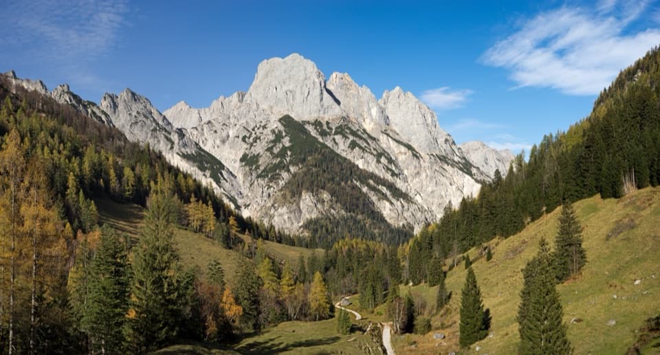
A long hike leads to this historic hut on the Reiter Alm.

Photo: Wikimedia Commons
Type
Lodging
Nearest trail
Right here
  • Restaurant
  • Restrooms
Parkwolf audio tour25 stories across Berchtesgaden’s roads

Overview

About Neue Traunsteiner Hütte

Why stop

  • A quiet, roadless base for exploring the Reiter Alm’s high plateau.

Heads up

  • The Wachterlsteig approach takes about 3.5 hours each way; there is no drive-up access.
The hut’s story starts with its older namesake across the Austrian border. After Nazi authorities imposed a 1,000-Reichsmark border-crossing fee in 1933, the Traunstein Alpine Club section built a replacement on the Bavarian side. It opened on 4 September 1938 and took its name from the section’s chairman, Karl Merkenschlager.
Parkwolf’s verdictWhy it’s on the Bavarian side

Map

Where it is

Loading the Berchtesgaden map
Full map
LodgingNeue Traunsteiner Hütte47.62818, 12.80090
Keep this map with you offline in the Parkwolf app

Plan your stop

Before you go

2 active Berchtesgaden alerts

  • ClosureKlausbachtal trail closuresTwo Klausbachtal trail sections are closed; use the Hirschbichlstraße (St 2099) to bypass them. - Trail No.Official details
  • ClosureKönigsbach Waterfall Gumpen area closedThe wide area around the “Gumpen” pools at Königsbach Waterfall is closed to visitors to protect recovering vegetation.Official details
Berchtesgaden alerts
A park ranger sits on a dash-mounted phone, talking, as Parkwolf’s Tour Guide plays “Army Cutworm Moths: A Grizzly Bear Buffet” on Grand Loop Road below Dunraven Pass in Yellowstone
Parkwolf Tour GuideThe highest, rockiest slopes around here are a summer buffet for grizzly bears.

Berchtesgaden Tour Guide

Your drive to Neue Traunsteiner Hütte, narrated.

Parkwolf is a GPS audio tour guide for Berchtesgaden National Park. As you drive, it chimes in with what’s ahead: hidden gems, upcoming stops, history, geology, and wildlife, right through your car’s speakers.

More stories near here in the app

  • White Fur, Black Ear Tips
  • Klausbachhaus and Golden Eagle Country
  • Hintersee and the Boulder Forest
  • Seeklause: The Climb to Blaueishütte
  • 25 audio storiesacross Berchtesgaden’s roads, triggered by GPS as you drive
  • Wildlife heatmapsfor Bearded Vulture, Golden Eagle, Red Deer, and 13 more
  • Works offlinemaps, 71 trails, 57 places, and audio download before you lose signal
  • CarPlay readysimple controls built for the drive
★★★★★
“Fantastic app with many points of information… It’s great to just turn on while you’re driving and it gives you an audio tour of the national Park. We love it!!!!”
JMJamesApp Store review
Download Parkwolf on the App StoreGet Parkwolf on Google Play

4.7 from 8,600+ ratings

Guide

More about Neue Traunsteiner Hütte

A hut you hike toNeue Traunsteiner Hütte is a staffed Alpine Club hut at 1,560 m on the Reiter Alm’s high karst…

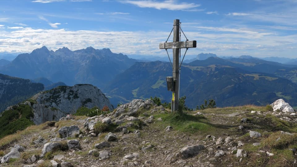
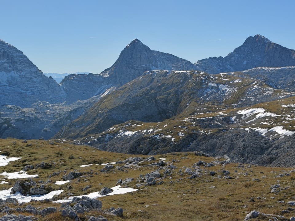
Neue Traunsteiner Hütte is a staffed Alpine Club hut at 1,560 m on the Reiter Alm’s high karst plateau. It works as an overnight base and a mountain restaurant, set among mountain-pine fields, stone pines and surrounding peaks. This is a proper mountain outing, not a roadside stop; I’d plan for an overnight stay or a long hiking day that includes the hut.

The Wachterlsteig approachFrom the Schwarzbachwacht/Wachterl hikers’ parking lot, follow trail 470. The hut takes about 3.

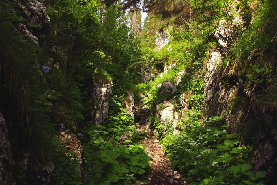
From the Schwarzbachwacht/Wachterl hikers’ parking lot, follow trail 470. The hut takes about 3.5 hours each way, so allow roughly seven hours on foot before breaks. The route reaches a saddle after about 1.5 hours, then crosses the open karst plateau and Saugasse. The hut stays out of sight until about 50 m past the Edelweißlahner fork, so keep going when you think you should see it.

Other established approaches come from Oberjettenberg via Schrecksattel, about 3.5 to 4 hours, and from Reith via Alpasteig, about 3.5 hours. These are mountain routes, not shortcuts. The hut’s main season is usually mid-May to mid-October, but snow conditions can shift the start; check the latest hut and route conditions before setting out.

Food and a night on the mountainThe hut serves straightforward Alpine hut dishes, including fresh bread baked on site and cakes…

The hut serves straightforward Alpine hut dishes, including fresh bread baked on site and cakes made by the hut host. Breakfast and dinner are offered to overnight guests. Bring cash because card payment isn’t available. Don’t count on mobile service or guest Wi-Fi on the plateau.

The Reiter Alm plateauThe Reiter Alm is a roughly 24-square-kilometre karst plateau.

The Reiter Alm is a roughly 24-square-kilometre karst plateau. The national park highlights its larch and stone-pine forest as the most important of its kind in the Bavarian Alps. The hut is a useful base for routes across the massif: nearby half-day options include Großer Bruder and Weitschartenkopf, while Stadelhorn and Wagendrischelhorn are longer high-mountain objectives.

Wildlife

Wildlife in Berchtesgaden

All Berchtesgaden wildlife maps

Sighting maps show where each species has been reported across Berchtesgaden. Wildlife moves, so no sighting is guaranteed.

Keep exploring

Near Neue Traunsteiner Hütte

See it all on the map

Trails nearby

More stops nearby

Parkwolf’s Berchtesgaden ranking

Top sights in Berchtesgaden

All 57 places
  1. 1KönigsseeSight
  2. 2St. Bartholomä Pilgrimage ChurchSight
  3. 3OberseeSight
  4. 4WimbachklammSight
  5. 5Haus der BergeSight
  6. 6HinterseeSight

Take Parkwolf to Berchtesgaden.

The audio tour guide for the drive, plus offline maps, trails, and wildlife heatmaps for when the signal drops.

4.7 from 8,600+ ratings

Download Parkwolf on the App StoreGet Parkwolf on Google Play