Parking
Follow signs to Scenic World, then park near Katoomba Falls Kiosk by Katoomba Caravan Park. Weekend parking can be limited. The approach roads are sealed and suitable for 2WD vehicles.
Blue Mountains National Park, NSW
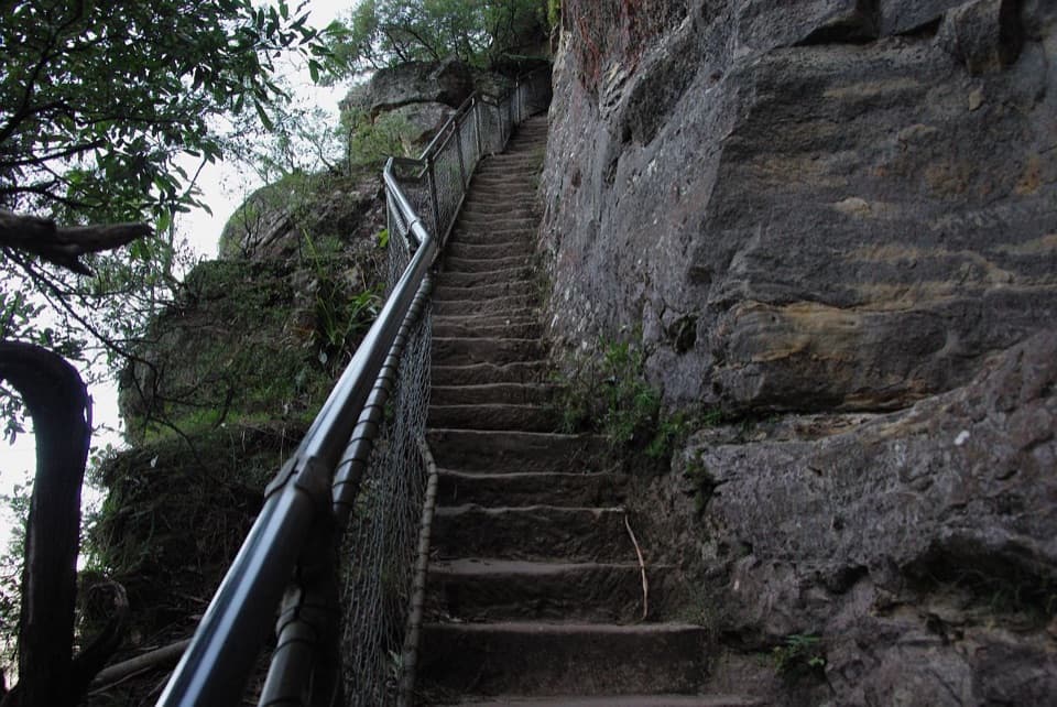
A stairway drops through rainforest to the base of Katoomba Falls.
Overview
Map & elevation
Plan your hike

The highest, rockiest slopes around here are a summer buffet for grizzly bears.
Blue Mountains Tour Guide
Parkwolf is a GPS audio tour guide for Blue Mountains National Park. As you drive, it chimes in with what’s ahead: hidden gems, upcoming stops, history, geology, and wildlife, right through your car’s speakers.
See the Blue Mountains audio tourRecorded for this trailhead
Scenic World's Rides and Rainforest“Up ahead is Scenic World, where rides take you across the cliffs and down into Jamison Valley. I'd choose it if you want to experience the valley from above and below without a long bushwalk.”
Plays as you drive up to this trailhead in the Parkwolf Blue Mountains Tour Guide.
More stories near here in the app
“Fantastic app with many points of information… It’s great to just turn on while you’re driving and it gives you an audio tour of the national Park. We love it!!!!”


Trail guide
Furber Steps walk is a 2.2 km return from the Scenic World rim into Jamison Valley and back, with a signed clifftop approach, the steep named stairway and a short valley-floor connector toward Katoomba Falls. Allow 1 to 2 hours. It suits walkers who want a real drop into the rainforest without making a day of it; the distance is short, but the stairs do not let you coast. The route follows the upper path to Furber Steps, then reaches the falls-side end of Federal Pass before retracing the same corridor.
Expect many steps, short steep hills, and a formed track with some obstacles. The route is Grade 3, with some bushwalking experience recommended and clear signs along the way. The descent is the treat; the return climb is the demanding half. Keep your pace steady on the stairs and take breaks where the tread is wide.
As the path drops, the open escarpment gives way to lush rainforest and cascading water. From the valley, look across Jamison Valley toward Mount Solitary. Catbirds and wonga pigeons may be heard in the forest. Cooks Crossing has picnic tables near the base of Katoomba Falls. For a route-specific photo, stop safely off the tread and frame the stairs against the sandstone cliff.
Follow signs for Scenic World; parking is near Katoomba Falls Kiosk by Katoomba Caravan Park. It can be busy on weekends and spaces may be limited. Toilets and drinking water are near the parking areas. Pets other than certified assistance animals are not permitted. The 2.2 km figure is for this stairway return; longer Federal Pass outings or a return by Scenic Railway or Cableway are different trips and add distance.
Wildlife
 58 sightingsGrey KangarooMost seen around 6 AMSighting map
 43 sightingsWombatMost seen around 6 PMSighting map
 18 sightingsRed-necked WallabyMost seen around 6 PMSighting map
 53 sightingsSwamp WallabyMost seen around 7 AMSighting map
 23 sightingsBrushtail PossumMost seen around 7 PMSighting map
 30 sightingsRing-tailed PossumMost seen around 7 PMSighting map
Sighting maps show where each species has been reported across Blue Mountains. Wildlife moves, so no sighting is guaranteed.
Keep exploring
 EasyScenic Walkway1.9 km · 50 min · 0.3 km awayA ticketed rainforest boardwalk links valley stations beneath the canopy.
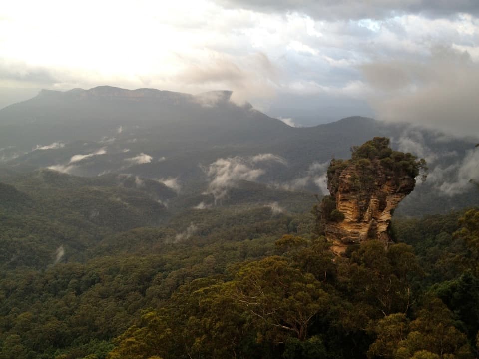 ModerateRound walking track1.2 km · 1 hr · 0.4 km awayA compact loop pairs waterfall lookouts with a shady ferny gorge.
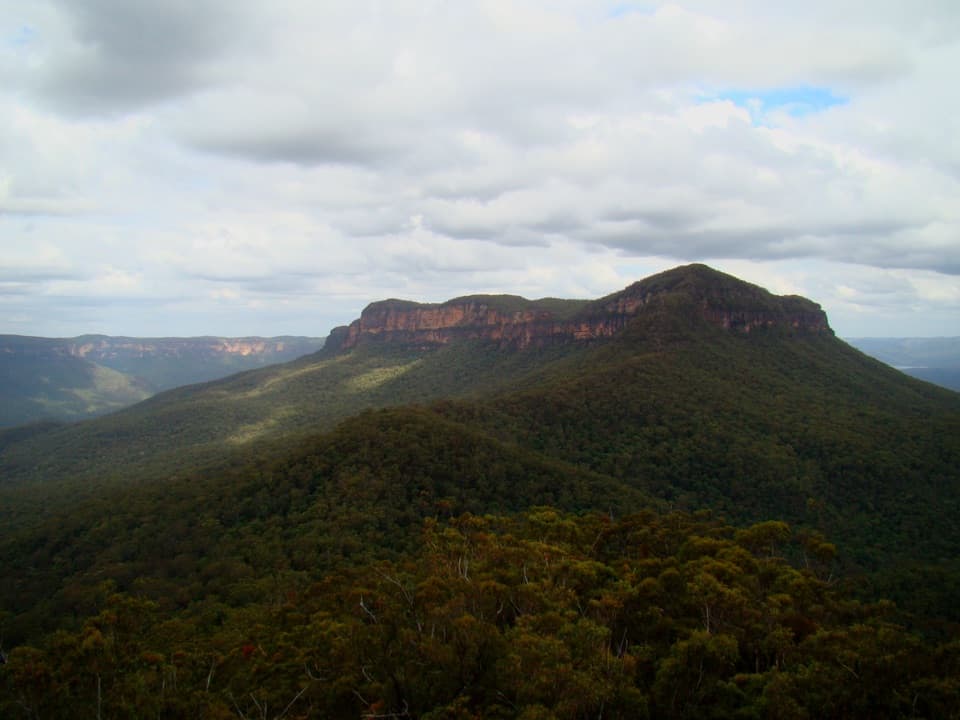 ChallengingMount Solitary walking track34 km · 22 hr · 0.4 km awayRainforest, tramway history, and a rough ridge in a three-day loop.
 ModeratePrince Henry Cliff walk7 km · 3.5 hr · 0.5 km awayA cliff-top walk with Three Sisters views and more than 20 lookouts.
 ChallengingDardanelles Pass loop walking track5.3 km · 3 hr · 1.1 km awayMore than 900 stairs descend into rainforest before the climb out.
 ChallengingGiant Stairway0.5 km · 36 min · 1.1 km away998 steps take you down to Honeymoon Bridge.
 EasyThree Sisters walk0.8 km · 35 min · 1.1 km awayA short paved walk to three sandstone spires above a vast valley.
 ChallengingEcho Point to Scenic World via Giant Stairway4.7 km · 2.5 hr · 1.1 km awayDescend the Giant Stairway, cross the valley, climb to Scenic World.
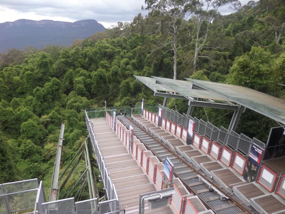 Sight · At the trailheadScenic WorldThree rides, rainforest boardwalks, and close views into Jamison Valley
 Sight · 0.3 km awayKatoomba FallsA stepped gorge loop pairs a waterfall with a Three Sisters view.
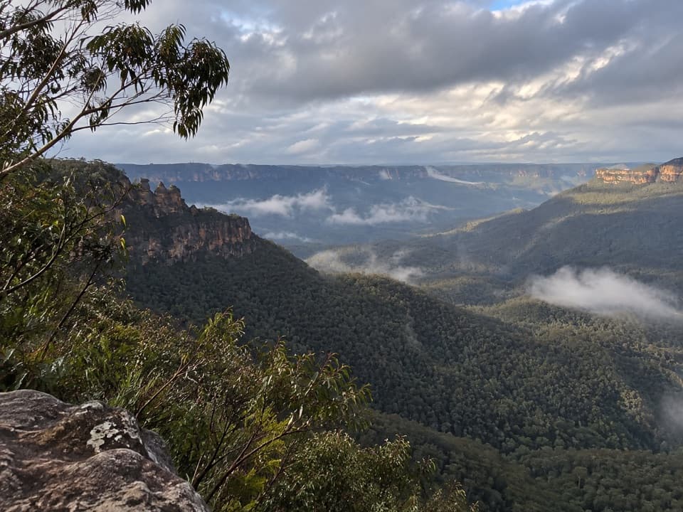 Sight · 0.4 km awayEagle Hawk LookoutA quieter Jamison Valley view toward the Three Sisters.
 Sight · 0.4 km awayCliff View LookoutQuick walk for broad Kedumba Valley views beneath the Skyway
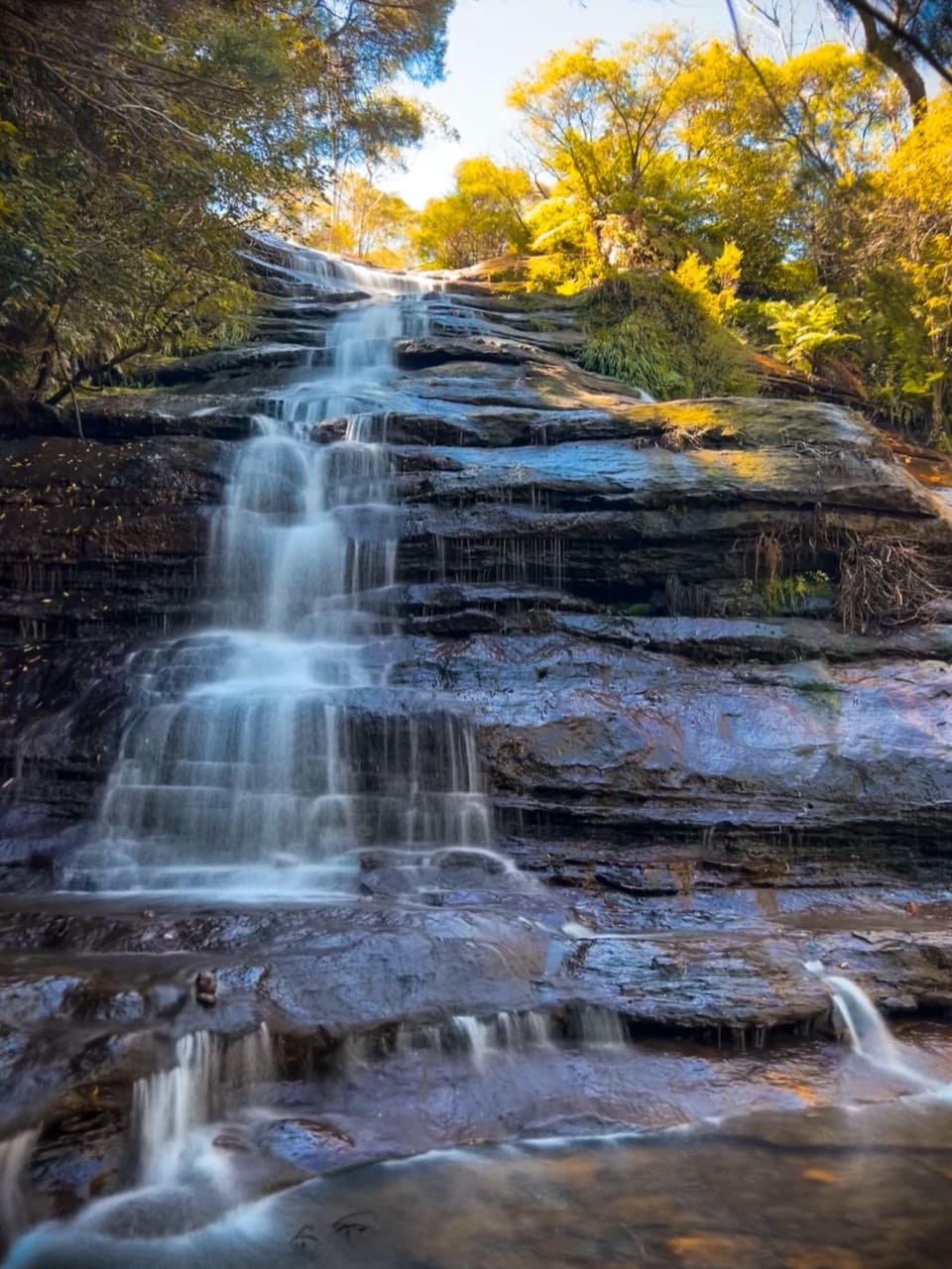 Sight · 0.5 km awayKatoomba CascadesA quick stairway detour to the Kedumba River's ferny cascades.
 Sight · 0.8 km awayNarrow Neck LookoutA quick stop for the Jamison and Megalong valleys.
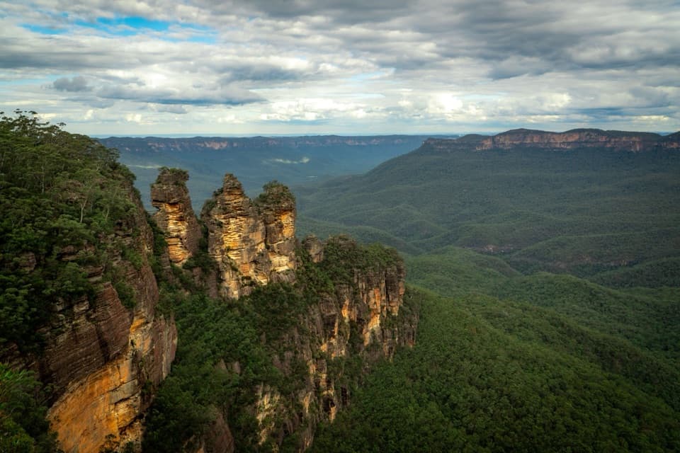 Sight · 1.1 km awayEcho Point Lookout (Three Sisters)A wide panorama to the Three Sisters, Mount Solitary and Ruined Castle.
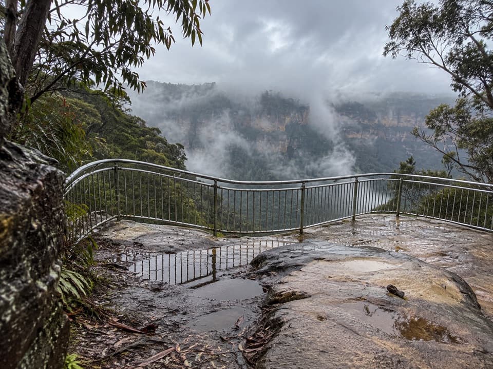 Sight · 1.4 km awayTallawalla lookoutA shaded pause on the walk for Leura and Sublime Point cliffs.
Parkwolf’s Blue Mountains ranking

The audio tour guide for the drive, plus offline maps, trails, and wildlife heatmaps for when the signal drops.



