Parking
From Cliff Drive, turn onto unsealed Glenraphael Drive and continue about 2 km to Golden Stairs carpark. Toilets and picnic facilities at Katoomba Falls picnic area are a separate stop.
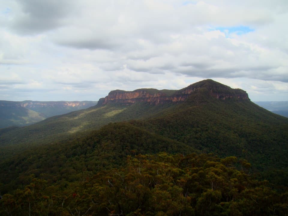
#8 of 110 trails in Blue Mountains
Blue Mountains National Park, NSW
A steep valley hike to sandstone outcrops and mining history.
Overview
Map & elevation
Plan your hike

The highest, rockiest slopes around here are a summer buffet for grizzly bears.
Blue Mountains Tour Guide
Parkwolf is a GPS audio tour guide for Blue Mountains National Park. As you drive, it chimes in with what’s ahead: hidden gems, upcoming stops, history, geology, and wildlife, right through your car’s speakers.
See the Blue Mountains audio tourRecorded for this trailhead
Golden Stairs and the Walk to Ruined Castle“You're nearing Golden Stairs, the starting point for the walk to Ruined Castle.”
Plays as you drive up to this trailhead in the Parkwolf Blue Mountains Tour Guide.
More stories near here in the app
“Fantastic app with many points of information… It’s great to just turn on while you’re driving and it gives you an audio tour of the national Park. We love it!!!!”


Trail guide
Ruined Castle walking track is a hard out-and-back from Golden Stairs into Jamison Valley, ending at a natural sandstone outcrop rather than a built castle. Plan for about 8.2 km (5.1 miles) return to the rocks and roughly five hours. The commonly posted 6.6 km return figure matches the marked Golden Stairs and Federal Pass section; the mapped spur and final scramble add about 1.5 km return to reach the formation. That gap matters: this is a proper valley hike with a steep descent and a tough climb back, not a quick lookout detour. Choose it for the mining story and the close look at the rock; you earn the payoff.
Golden Stairs drops sharply from the carpark into Jamison Valley. The walk starts with a long descent, but the part hikers most often find taxing is the return up those same steps after a full day out. Set an easy pace on the way down and keep some energy for the climb back. The route is Grade 4 and the last rock section is rough, so treat this as a hard hike rather than a stroll.
Federal Pass follows the valley through cool rainforest, including coachwood and sassafras. The path crosses old embankments and cuttings, with the tumbled remains of miners’ cottages along the way. Look and listen for lyrebirds in the forest; they’re a possible sighting, not a promise.
The “castle” is a natural rock formation. The valley also held a late-19th-century shale-mining settlement. A cable ropeway once linked the mine to the Scenic World site; it collapsed in 1890, and the settlement was abandoned after the mine closed in the early 20th century. Those cuttings and cottage remains are the clearest signs of that history, so keep an eye out as the track winds through the trees.
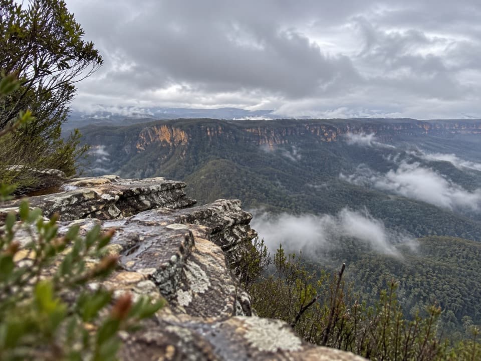
After Federal Pass, take the Ruined Castle Track toward the outcrops. The final approach is narrower and steeper, with rock-hopping and a scramble around large boulders; it’s rougher than the valley path and there’s no lookout platform. Turn back if that kind of footing isn’t for you. From the rocks, the views open over Jamison and Cedar Creek valleys, with Katoomba and Wentworth Falls in the distance. For a photo, include the forested ridge below Mount Solitary to give the sandstone escarpment scale.
From Cliff Drive, turn onto unsealed Glenraphael Drive and continue about 2 km to Golden Stairs carpark. Katoomba Falls picnic area on Cliff Drive has toilets and picnic facilities, but it’s a separate stop. Bring enough water for the full walk; no refill point is listed along the route. Mobile reception can be limited, so download navigation first. Some Federal Pass sections can be overgrown, and rock can be slippery when wet. Dogs and other pets aren’t allowed, except certified assistance animals.
Wildlife
 58 sightingsGrey KangarooMost seen around 6 AMSighting map
 43 sightingsWombatMost seen around 6 PMSighting map
 18 sightingsRed-necked WallabyMost seen around 6 PMSighting map
 53 sightingsSwamp WallabyMost seen around 7 AMSighting map
 23 sightingsBrushtail PossumMost seen around 7 PMSighting map
 30 sightingsRing-tailed PossumMost seen around 7 PMSighting map
Sighting maps show where each species has been reported across Blue Mountains. Wildlife moves, so no sighting is guaranteed.
Keep exploring
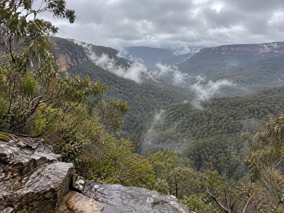 ChallengingGolden Stairs walking track1.6 km · 1.3 hr · At the trailheadA steep stairway down to Federal Pass, with the climb waiting.ChallengingMount Solitary via Golden Stairs12.7 km · 8.5 hr · At the trailheadA full-day climb from rainforest to a remote sandstone summit.
 ModerateNarrow Neck trail19 km · 5.5 hr · 0.7 km awayA long plateau walk to Clear Hill above two deep valleys.
 EasyScenic Walkway1.9 km · 50 min · 1.8 km awayA ticketed rainforest boardwalk links valley stations beneath the canopy.
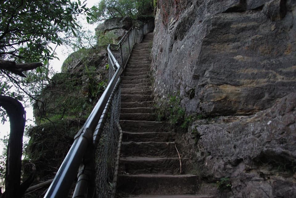 ModerateFurber Steps walk2.2 km · 1.5 hr · 1.9 km awayA stairway drops through rainforest to the base of Katoomba Falls.
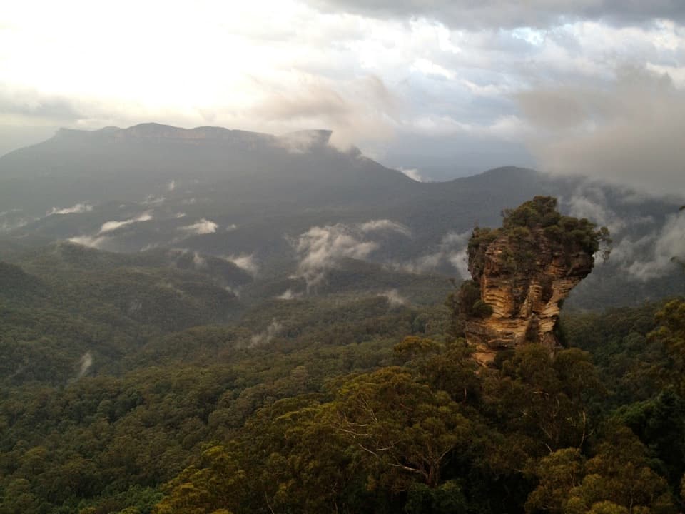 ModerateRound walking track1.2 km · 1 hr · 2.2 km awayA compact loop pairs waterfall lookouts with a shady ferny gorge.ChallengingMount Solitary walking track34 km · 22 hr · 2.2 km awayRainforest, tramway history, and a rough ridge in a three-day loop.
 ModeratePrince Henry Cliff walk7 km · 3.5 hr · 2.3 km awayA cliff-top walk with Three Sisters views and more than 20 lookouts.Sight · 1.2 km awayNarrow Neck LookoutA quick stop for the Jamison and Megalong valleys.
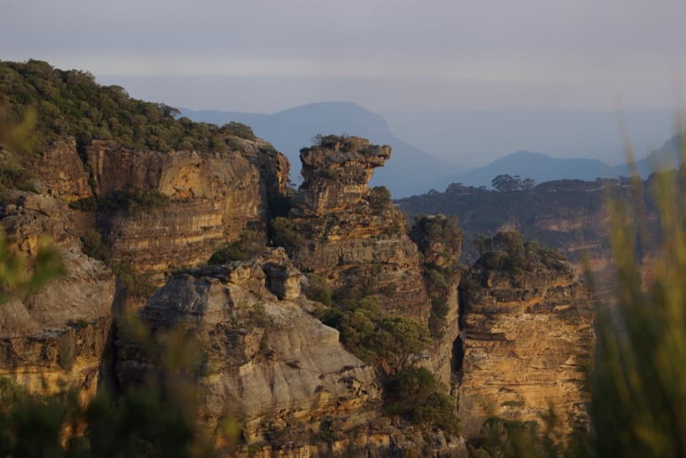 Sight · 1.5 km awayCahills LookoutFour platforms open onto Megalong Valley and Narrow Neck Peninsula.
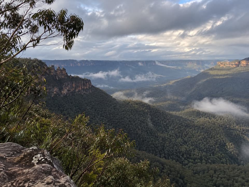 Sight · 1.6 km awayEagle Hawk LookoutA quieter Jamison Valley view toward the Three Sisters.
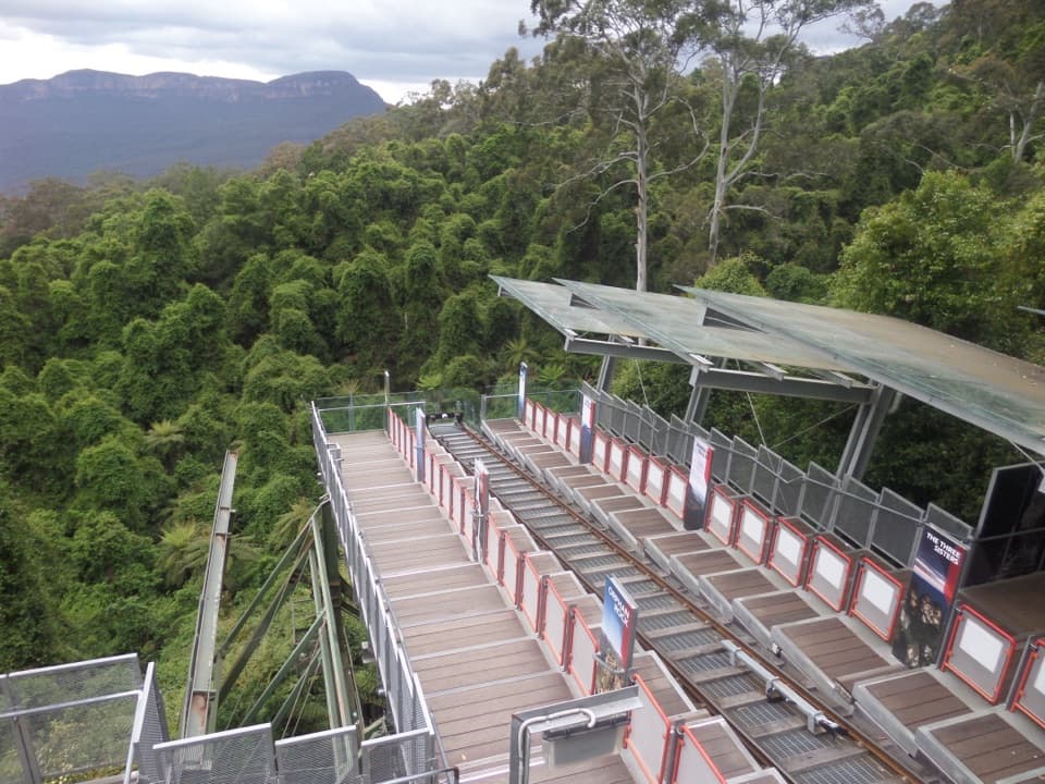 Sight · 1.9 km awayScenic WorldThree rides, rainforest boardwalks, and close views into Jamison Valley
 Sight · 2.2 km awayKatoomba FallsA stepped gorge loop pairs a waterfall with a Three Sisters view.
 Sight · 2.2 km awayCliff View LookoutQuick walk for broad Kedumba Valley views beneath the Skyway
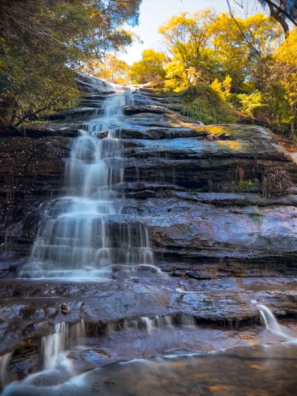 Sight · 2.3 km awayKatoomba CascadesA quick stairway detour to the Kedumba River's ferny cascades.
 Sight · 2.4 km awayCastle Head LookoutA rocky headland with views over Mount Solitary and the valley
Parkwolf’s Blue Mountains ranking

The audio tour guide for the drive, plus offline maps, trails, and wildlife heatmaps for when the signal drops.




