Parking
Golden Stairs Car Park off Glenraphael Drive; the final roughly 2 km from Cliff Drive is unsealed.
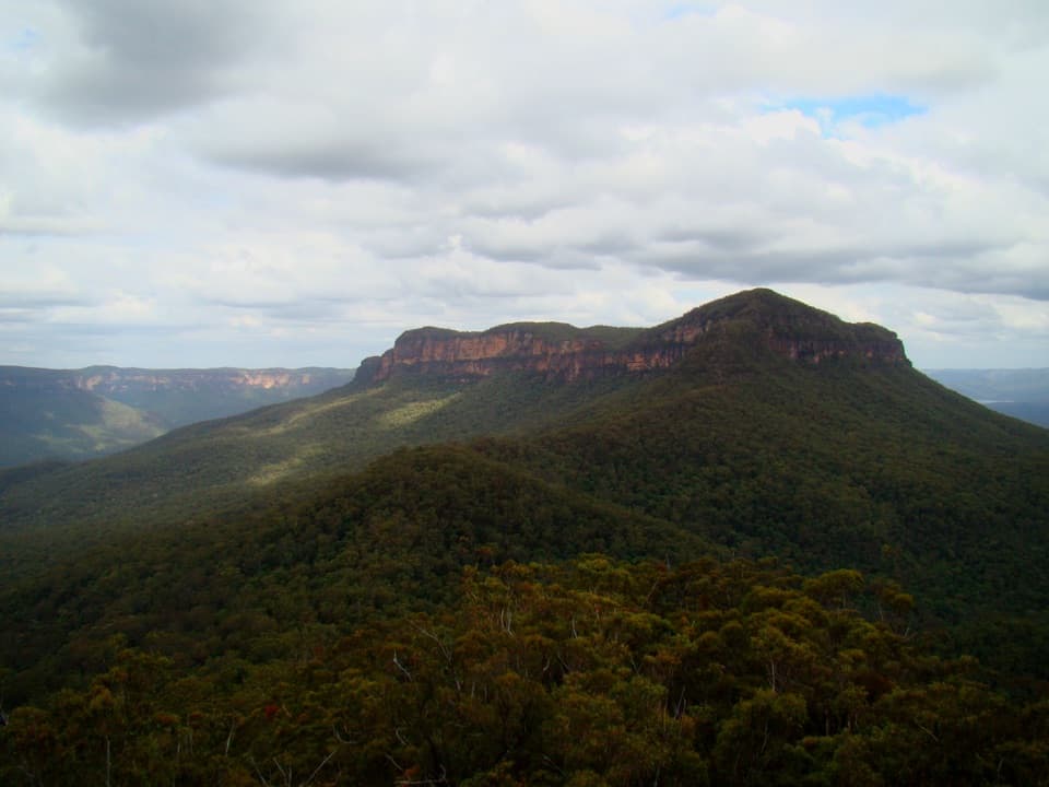
Blue Mountains National Park, NSW
A full-day climb from rainforest to a remote sandstone summit.
Overview
Map & elevation
Plan your hike

The highest, rockiest slopes around here are a summer buffet for grizzly bears.
Blue Mountains Tour Guide
Parkwolf is a GPS audio tour guide for Blue Mountains National Park. As you drive, it chimes in with what’s ahead: hidden gems, upcoming stops, history, geology, and wildlife, right through your car’s speakers.
See the Blue Mountains audio tourRecorded for this trailhead
Golden Stairs and the Walk to Ruined Castle“You're nearing Golden Stairs, the starting point for the walk to Ruined Castle.”
Plays as you drive up to this trailhead in the Parkwolf Blue Mountains Tour Guide.
More stories near here in the app
“Fantastic app with many points of information… It’s great to just turn on while you’re driving and it gives you an audio tour of the national Park. We love it!!!!”


Trail guide
Mount Solitary via Golden Stairs is a 12.7-kilometre out-and-back from Golden Stairs Car Park, down into Jamison Valley and up the western ridge to Mount Solitary’s named summit. Allow 8 to 9 hours and plan for about 1,000 metres of ascent; published totals differ by roughly 70 metres. This is a Grade 5, remote bushwalk for experienced hikers who can navigate rough, partly unmarked terrain and manage a long return climb. It is a different trip from the 34-kilometre, three-day Mount Solitary circuit that starts near Katoomba Falls Kiosk. The stored line ends at the named peak; it does not include the separately mapped Ruined Castle side route or continue farther along the ridge.
From the car park, steep Golden Stairs descends about 200 metres through cliff bands to Federal Pass. The descent opens views toward Dogface Landslide, the Three Sisters and Jamison Valley, but remember that the same steep steps are the last climb of the day. After the stairs, the route follows Federal Pass south through rainforest on an old valley track. Coachwood and sassafras shade parts of the walk, while the tread shifts from stairs to narrower, rougher footpath.
Federal Pass follows part of the route of a former horse-drawn tramway. Around the Ruined Castle junction, old cuttings, embankments and miners’ cottage ruins give the valley section a tangible human history. Notice these before starting the ridge climb: the way changes from a low valley walk to a much rougher ascent.
Beyond the valley, the trail climbs the rough Korowal Knife Edge along Mount Solitary’s western ridge. This is the hardest stretch: the tread is unformed and can be difficult to follow, and the route needs confident map-and-compass or GPS navigation. At the summit, broad views open over Jamison Valley and the surrounding sandstone country. Turn around at the named peak and retrace the same corridor; the onward Mount Solitary track belongs to a longer traverse.
The Ruined Castle formation is reached on a separately mapped 1.1-kilometre one-way side route from this valley section. It climbs around large boulders to the sandstone rock top, with views into Jamison and Cedar Creek valleys. That scramble is not included in the 12.7-kilometre line here. Treat it as a separate route choice, allow extra time, and do not add it if you are already behind schedule. For a photo, frame the Castle’s sandstone boulders against Mount Solitary’s forested cliff line.
Golden Stairs Car Park is on Glenraphael Drive, reached by about 2 kilometres of unsealed road after Cliff Drive. Bring all food and water: no water source is reported on Mount Solitary, and no trailhead provisions were identified. Carry a detailed map, compass or reliable offline GPS, and an emergency locator beacon; this is remote, rough terrain with little margin for a navigation mistake. Pets and domestic animals are not allowed in this national park apart from certified assistance animals. If you want a shorter taste, Golden Stairs itself is a steep 1.6-kilometre return, but it still means descending and reclimbing the cliff.
Wildlife
 58 sightingsGrey KangarooMost seen around 6 AMSighting map
 43 sightingsWombatMost seen around 6 PMSighting map
 18 sightingsRed-necked WallabyMost seen around 6 PMSighting map
 53 sightingsSwamp WallabyMost seen around 7 AMSighting map
 23 sightingsBrushtail PossumMost seen around 7 PMSighting map
 30 sightingsRing-tailed PossumMost seen around 7 PMSighting map
Sighting maps show where each species has been reported across Blue Mountains. Wildlife moves, so no sighting is guaranteed.
Keep exploring
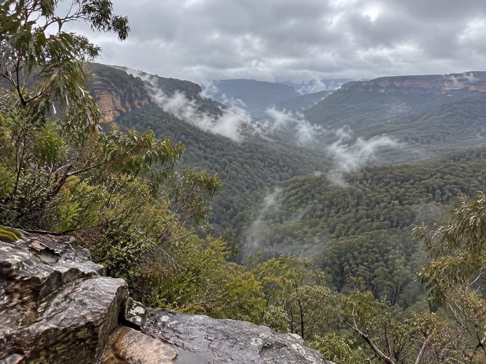 ChallengingGolden Stairs walking track1.6 km · 1.3 hr · At the trailheadA steep stairway down to Federal Pass, with the climb waiting.ChallengingRuined Castle walking track8.2 km · 5 hr · At the trailheadA steep valley hike to sandstone outcrops and mining history.
 ModerateNarrow Neck trail19 km · 5.5 hr · 0.7 km awayA long plateau walk to Clear Hill above two deep valleys.
 EasyScenic Walkway1.9 km · 50 min · 1.8 km awayA ticketed rainforest boardwalk links valley stations beneath the canopy.
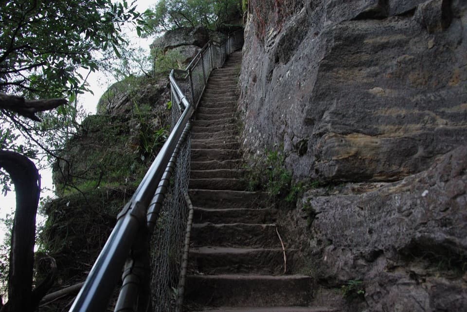 ModerateFurber Steps walk2.2 km · 1.5 hr · 1.9 km awayA stairway drops through rainforest to the base of Katoomba Falls.
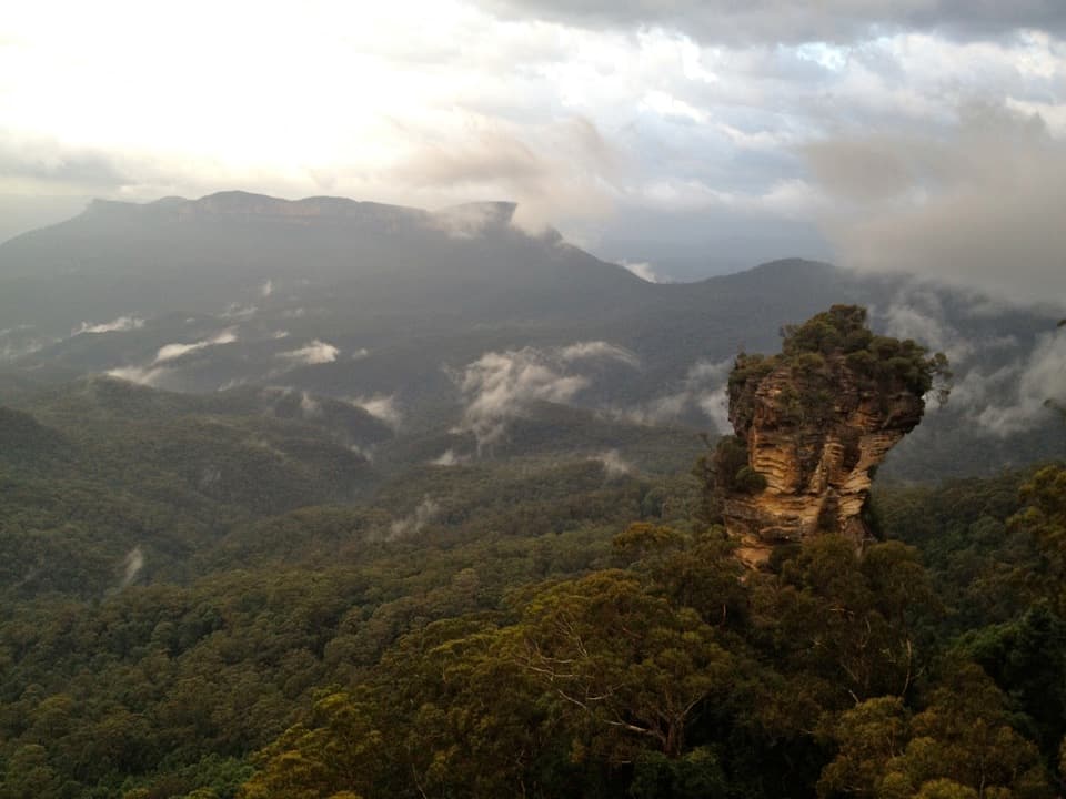 ModerateRound walking track1.2 km · 1 hr · 2.2 km awayA compact loop pairs waterfall lookouts with a shady ferny gorge.ChallengingMount Solitary walking track34 km · 22 hr · 2.2 km awayRainforest, tramway history, and a rough ridge in a three-day loop.
 ModeratePrince Henry Cliff walk7 km · 3.5 hr · 2.3 km awayA cliff-top walk with Three Sisters views and more than 20 lookouts.Sight · 1.2 km awayNarrow Neck LookoutA quick stop for the Jamison and Megalong valleys.
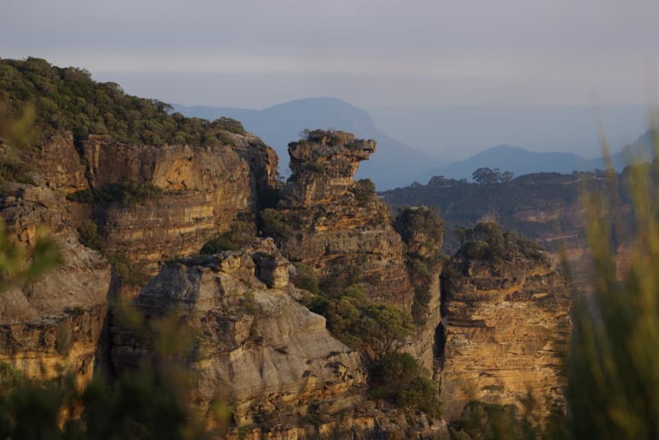 Sight · 1.5 km awayCahills LookoutFour platforms open onto Megalong Valley and Narrow Neck Peninsula.
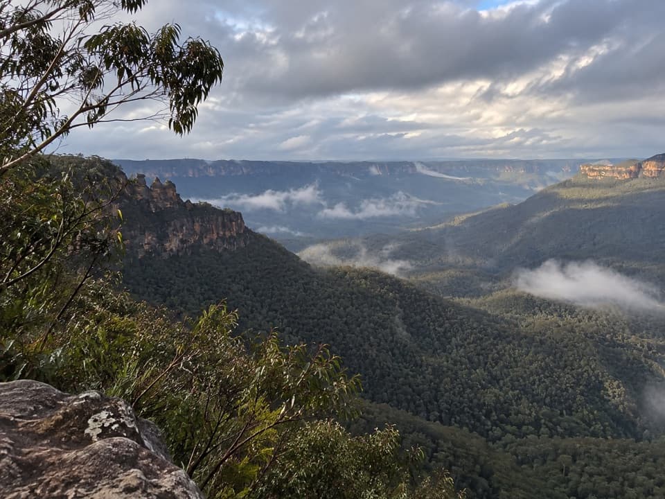 Sight · 1.6 km awayEagle Hawk LookoutA quieter Jamison Valley view toward the Three Sisters.
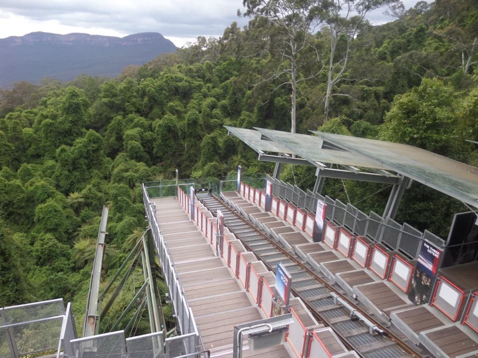 Sight · 1.9 km awayScenic WorldThree rides, rainforest boardwalks, and close views into Jamison Valley
 Sight · 2.2 km awayKatoomba FallsA stepped gorge loop pairs a waterfall with a Three Sisters view.
 Sight · 2.2 km awayCliff View LookoutQuick walk for broad Kedumba Valley views beneath the Skyway
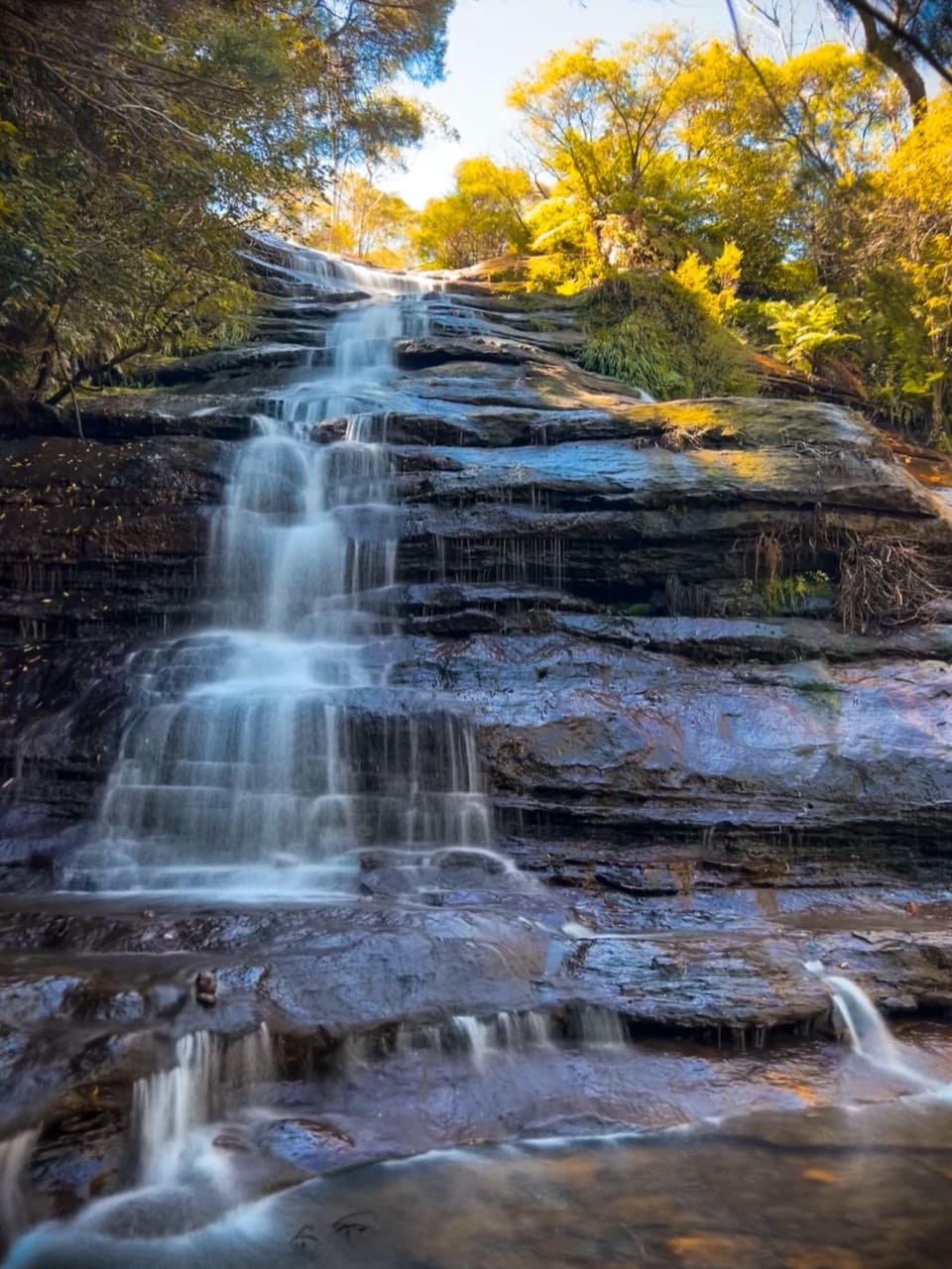 Sight · 2.3 km awayKatoomba CascadesA quick stairway detour to the Kedumba River's ferny cascades.
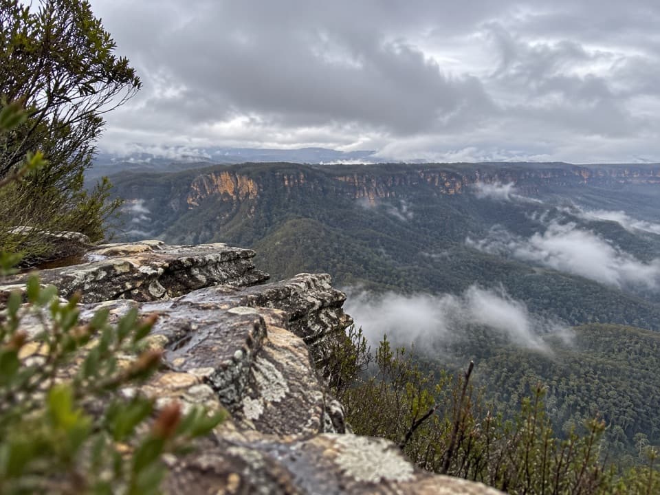 Sight · 2.4 km awayCastle Head LookoutA rocky headland with views over Mount Solitary and the valley
Parkwolf’s Blue Mountains ranking

The audio tour guide for the drive, plus offline maps, trails, and wildlife heatmaps for when the signal drops.




