Mount Hay summit walking track in Blue Mountains National Park

Blue Mountains National Park, NSW

Mount Hay summit walking track

Steep climb to a forested summit above the Grose Valley.

Photo: Wikimedia Commons
Length
3.3km
Time
2.5hr
Elev. change
146m
Difficulty
Challenging
  • No dogs
  • High point 946 m
  • #30 of 110 in Blue Mountains

Hear the audio tour

Butterbox Point from Mount Hay Car Park

Overview

About Mount Hay summit walking track

Why go

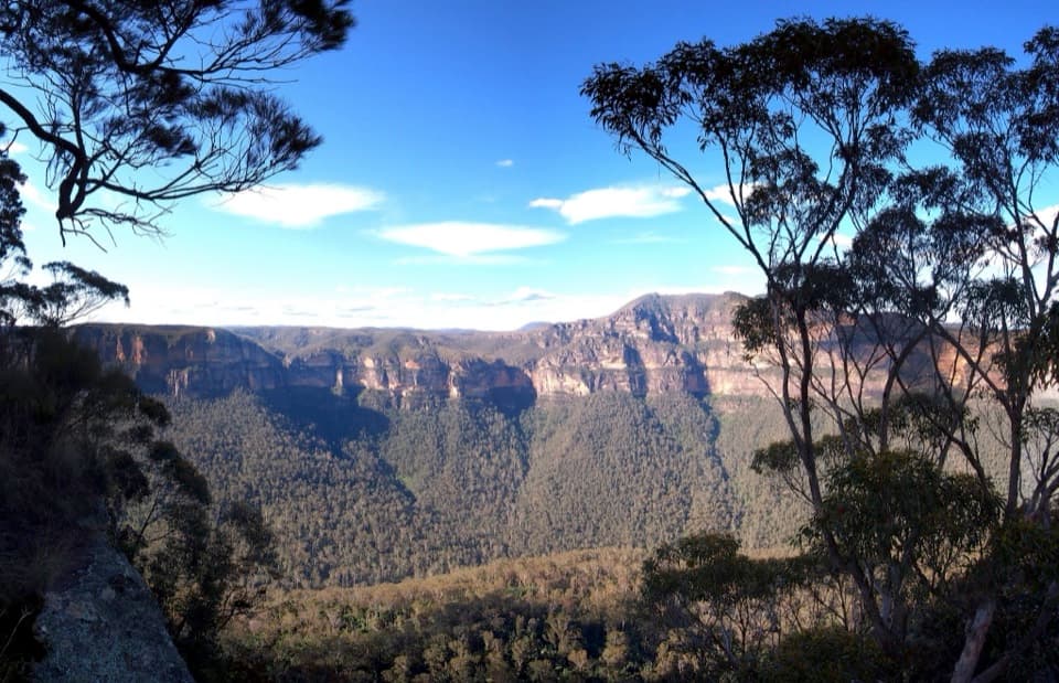
  • Big Grose Valley views and Mount Banks from a sandstone ridge

Heads up

  • Very steep, rough Grade 5 track with sparse signs

Map & elevation

The route

Loading the Blue Mountains map
Full map
Elevation800–946 m
TrailheadMount Hay Carpark-33.62981, 150.40202
Keep this map with you offline in the Parkwolf app

Plan your hike

Before you go

Parking

Mount Hay Carpark is at the end of Mount Hay Road. The unsealed road runs 4 km to the park boundary and another 11.4 km to the carpark; it can be rough, boggy and potholed. A 2WD is possible in dry weather; 4WD is recommended after rain. There are no toilets at the carpark; the nearest public toilets are at Leura Station or Leura Mall.

Safety

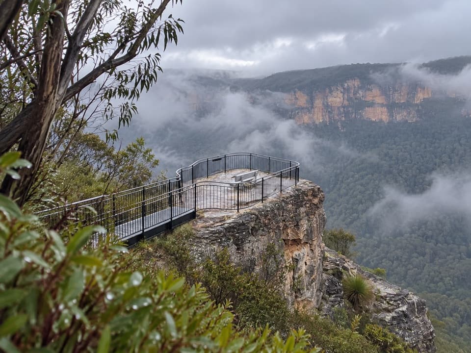
A very steep, rough Grade 5 track with limited signage and false leads to viewpoints. The ridge is exposed with cliff edges; keep well back. Dogs and other domestic pets are prohibited in NSW national parks.

3 active Blue Mountains alerts

  • ClosureRoads and tracks closed across Blue Mountains National ParkMany roads, fire trails and walking tracks across Blue Mountains National Park are closed; do not enter closed areas.Official details
  • CautionPark-wide solid-fuel fire banA park fire ban is active across Blue Mountains National Park: campfires and solid-fuel barbecues and stoves are prohibited. - Gas and electric cookers are permitted, subject to safety rules.Official details
See all 3 alerts
A park ranger sits on a dash-mounted phone, talking, as Parkwolf’s Tour Guide plays “Army Cutworm Moths: A Grizzly Bear Buffet” on Grand Loop Road below Dunraven Pass in Yellowstone
Parkwolf Tour GuideThe highest, rockiest slopes around here are a summer buffet for grizzly bears.

Blue Mountains Tour Guide

Your drive to Mount Hay summit walking track, narrated.

Parkwolf is a GPS audio tour guide for Blue Mountains National Park. As you drive, it chimes in with what’s ahead: hidden gems, upcoming stops, history, geology, and wildlife, right through your car’s speakers.

See the Blue Mountains audio tour

Recorded for this trailhead

Butterbox Point from Mount Hay Car Park
0:00 / 0:26
“You're approaching Mount Hay car park, where I'd choose the Butterbox Point walk for Grose Valley views and unusual rock formations. Allow about an hour and a half for the three point three kilometre return walk.”

Plays as you drive up to this trailhead in the Parkwolf Blue Mountains Tour Guide.

More stories near here in the app

  • The Cockatoo's Timber Lunch
  • The Walk to Lockley Pylon
  • Fortress Rock from Fortress Ridge Car Park
  • Perrys Lookdown and Blue Gum Forest
  • 188 audio storiesacross Blue Mountains’s roads, triggered by GPS as you drive
  • Wildlife heatmapsfor Grey Kangaroo, Wombat, Red-necked Wallaby, and 13 more
  • Works offlinemaps, 110 trails, 84 places, and audio download before you lose signal
  • CarPlay readysimple controls built for the drive
★★★★★
“Fantastic app with many points of information… It’s great to just turn on while you’re driving and it gives you an audio tour of the national Park. We love it!!!!”
JMJamesApp Store review
Download Parkwolf on the App StoreGet Parkwolf on Google Play

4.7 from 8,600+ ratings

Trail guide

Hiking Mount Hay summit walking track

What the walk asks of youMount Hay summit walking track is a 3.3 km (2.

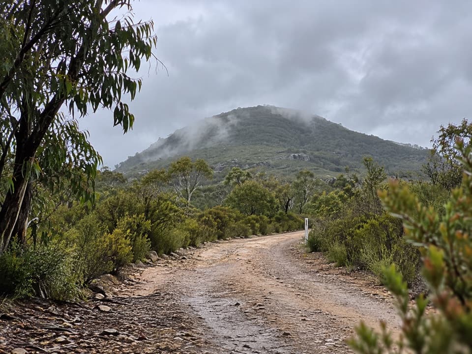
Mount Hay summit walking track is a 3.3 km (2.1 mi) out-and-back from Mount Hay Carpark to the summit and back. It climbs through heath and swampy meadows, crosses a sandstone ridgeline, then reaches the forested summit dome. This short distance still means a Grade 5, very steep and difficult walk: allow 2–3 hours, and choose it only if you are comfortable with rough footing, a hard climb and sparse signs.

Stay right at the junctionThe winding approach passes rock formations and swampy patches before the ridge opens out.

The winding approach passes rock formations and swampy patches before the ridge opens out. At the junction, keep right toward the summit and look northeast for the dome. There are limited signs and false leads to viewpoints, so stay with the summit track instead of following every side path. The exposed ridge gives you the first long views across cliff bands and forest.

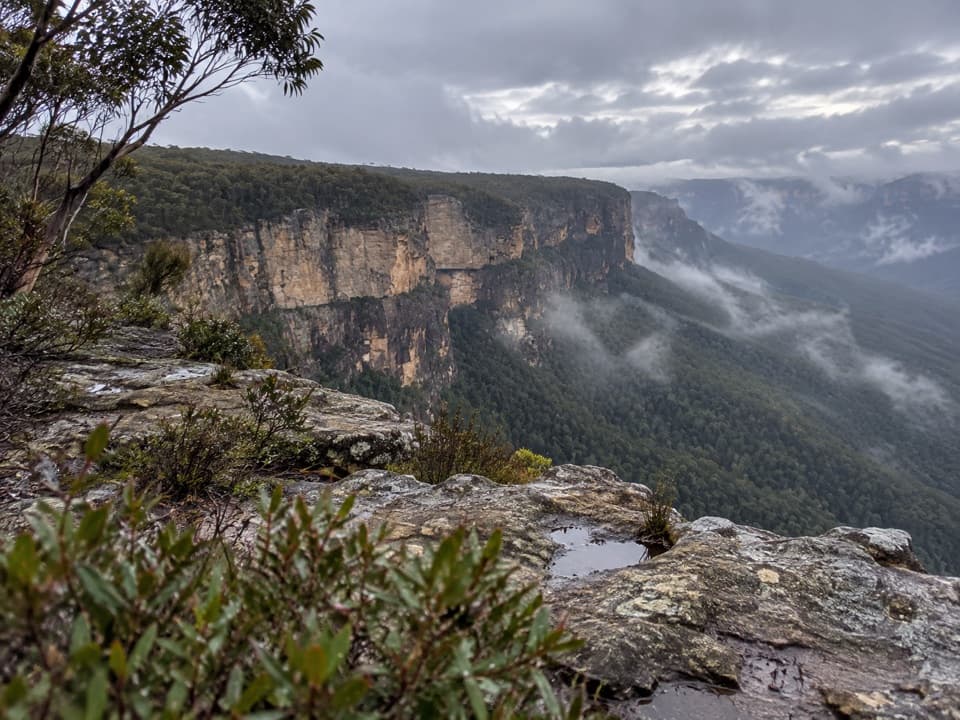
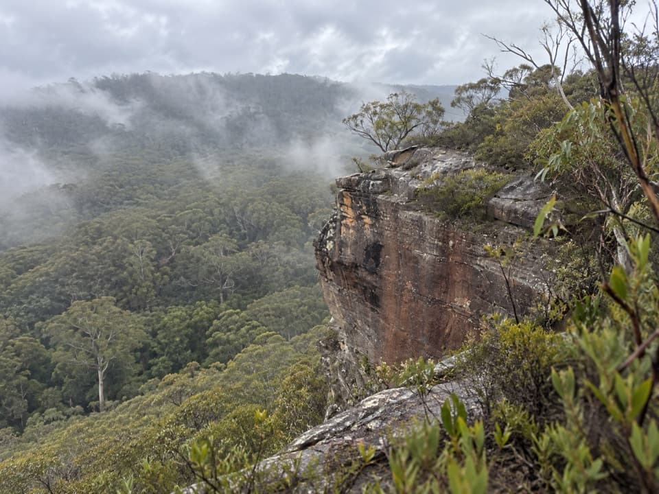
The ridge and summitThe sandstone escarpment drops away beside the route, with the Grose Wilderness forest below…

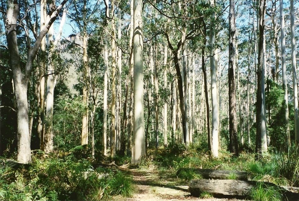
The sandstone escarpment drops away beside the route, with the Grose Wilderness forest below and Mount Banks' double-humped profile on the skyline. Near the top, grassy slopes dotted with rocks give way to taller forest growing on fertile soil over a basalt cap. A large cairn marks the summit. From a safe spot well back from the edge, frame the cliff bands with Mount Banks for a sense of the scale.

Heath and wetland lifeThe swampy ground is habitat for the giant dragonfly and the endangered Blue Mountains water…

The swampy ground is habitat for the giant dragonfly and the endangered Blue Mountains water skink. In spring, pink boronia, blue iris and flowering banksias brighten the heath and attract birdlife.

Access and facilitiesMount Hay Carpark is at the end of Mount Hay Road.

Mount Hay Carpark is at the end of Mount Hay Road. The unsealed access road runs 4 km to the park boundary and another 11.4 km to the carpark; it can be rough, boggy and potholed. A 2WD can reach it in dry weather, while a 4WD is recommended especially after rain. There are no toilets or bins at the carpark; the nearest public toilets are at Leura Station or Leura Mall. Bring water and snacks, and leave pets at home: dogs and other domestic pets are not allowed in NSW national parks.

Wildlife

Wildlife in Blue Mountains

All Blue Mountains wildlife maps

Sighting maps show where each species has been reported across Blue Mountains. Wildlife moves, so no sighting is guaranteed.

Keep exploring

Near Mount Hay summit walking track

See it all on the map

Trails that start nearby

Places near the trailhead

Parkwolf’s Blue Mountains ranking

Top-rated trails in Blue Mountains

All 110 trails
  1. 1Grand Canyon trackModerate · 6.3 km
  2. 2Three Sisters walkEasy · 0.8 km
  3. 3Lockley Pylon walking trackModerate · 7 km
  4. 4National PassChallenging · 5.1 km
  5. 5Wentworth Pass loop walking trackChallenging · 5 km
  6. 6Prince Henry Cliff walkModerate · 7 km

Take Parkwolf to Blue Mountains.

The audio tour guide for the drive, plus offline maps, trails, and wildlife heatmaps for when the signal drops.

4.7 from 8,600+ ratings

Download Parkwolf on the App StoreGet Parkwolf on Google Play