Parking
Small car park at the end of Farm Road, off Burns Road in Springwood; the route starts and finishes here. Space is limited, and no overflow parking was confirmed.

Blue Mountains National Park, NSW
A steep creek crossing links two lookouts across Glenbrook Valley.
Overview
Map & elevation
Plan your hike

The highest, rockiest slopes around here are a summer buffet for grizzly bears.
Blue Mountains Tour Guide
Parkwolf is a GPS audio tour guide for Blue Mountains National Park. As you drive, it chimes in with what’s ahead: hidden gems, upcoming stops, history, geology, and wildlife, right through your car’s speakers.
See the Blue Mountains audio tourRecorded for this area
Two Voices in One Magpie“A single magpie can sing two notes at once. Its voice organ, called the syrinx, has two sound sources that the bird can control separately.”
Plays on the road 2.7 km from the trailhead in the Parkwolf Blue Mountains Tour Guide.
More stories near here in the app
“Fantastic app with many points of information… It’s great to just turn on while you’re driving and it gives you an audio tour of the national Park. We love it!!!!”


Trail guide
Martin's Lookout to Lost World Lookout is a demanding out-and-back across Glenbrook Valley. The connected walking line is about 3 km each way, or roughly 5.9 km return; some route listings give 5.4 km, while longer itineraries include extra creek-side exploring. Allow 3 to 4 hours and around 500 m of cumulative climbing. This is a Grade 5 bushwalk for experienced hikers who are comfortable with steep, rough ground and route-finding.
Start at Martins Lookout, where you can see the white cross on the far escarpment. The trail drops from the lookout through eucalypt bush on steep switchbacks and old stone steps, passing sandstone shelves before reaching Glenbrook Creek. It is a serious descent, and every metre of it becomes a climb on the way back.
Near the valley floor, follow the Kings Link connection toward the creek and cross on stepping rocks; there is no bridge. The route is less maintained around this section, and the track can be hard to pick out after the crossing. Have an offline map ready and keep to the same line on the return rather than following an unfamiliar spur.
The climb rises through switchbacks and stone steps to the Bunyan ridge. Once you are back on top, the walk eases into a flatter stretch through open bush. Watch for the junction toward Lost World, then take the short approach to the lookout. The return follows the same route, including the steep climb back up to Martins.
Lost World is a sandstone ledge with a broad view over the forested valley and surrounding escarpments. A small white memorial cross stands near the viewpoint; from Martins Lookout it is the landmark you spot across the valley before setting out. Keep well back from exposed rock edges while looking around or taking photos.
Park at the small car park at the end of Farm Road, off Burns Road in Springwood. Space is limited and no overflow arrangement was confirmed. Bring water, food and a downloaded route: the rugged sections and indistinct tread call for more preparation than the short distance suggests. Dogs and other pets are not permitted in NSW national parks.
Wildlife
 58 sightingsGrey KangarooMost seen around 6 AMSighting map
 43 sightingsWombatMost seen around 6 PMSighting map
 18 sightingsRed-necked WallabyMost seen around 6 PMSighting map
 53 sightingsSwamp WallabyMost seen around 7 AMSighting map
 23 sightingsBrushtail PossumMost seen around 7 PMSighting map
 30 sightingsRing-tailed PossumMost seen around 7 PMSighting map
Sighting maps show where each species has been reported across Blue Mountains. Wildlife moves, so no sighting is guaranteed.
Keep exploring
 ChallengingWarrimoo to Glenbrook via St Helena16.8 km · 6.5 hr · 2.8 km awayFollow the ridge to Glenbrook, with sandstone lookouts and a creek beach.
 ModerateSassafras Gully, Victory Track and Magdala Gully Loop10.2 km · 4.5 hr · 4.1 km awaySandstone gullies, waterfalls and creekside track from Springwood.
 ModerateDuck Hole walking track3 km · 2 hr · 4.9 km awaySandstone cliffs and a sandy swimming hole reward this bush walk.
 ModerateCrayfish Pool and Grey Hat Falls walk1.9 km · 1.5 hr · 5.4 km awayA steep, unmarked out-and-back to a waterfall pool.
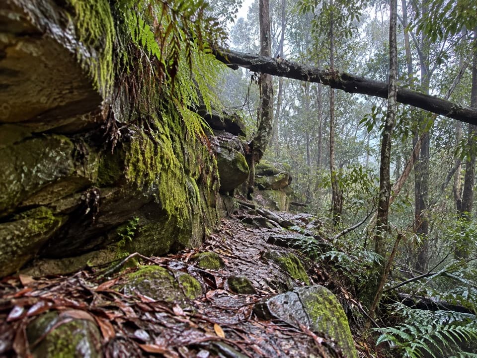 ChallengingFaulconbridge to Springwood via Sassafras Gully6.1 km · 3 hr · 5.6 km awayA shaded creek descent ends with a tough climb to Springwood.
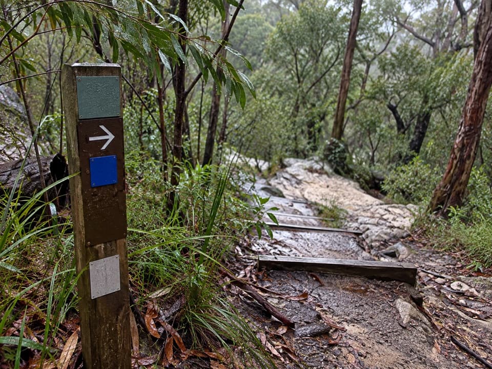 ModerateBlue Pool walking track0.5 km · 24 min · 6.2 km awayA 0.5 km return walk to a fern-fringed creek waterhole.
 ModerateRed Hands Cave walking track8 km · 2 hr · 6.3 km awayA creekside loop to a sandstone shelter layered with hand stencils.
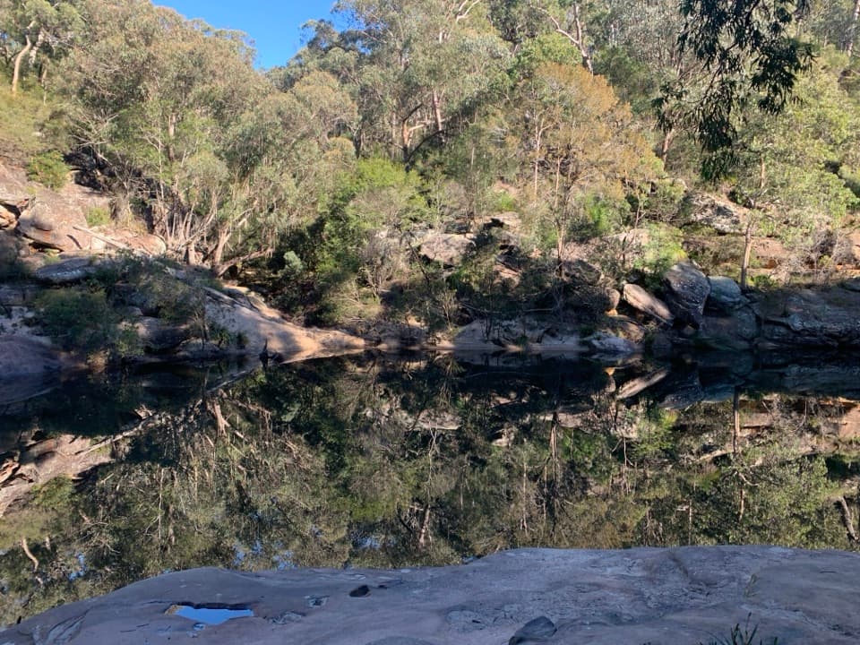 ModerateJellybean track1 km · 45 min · 6.4 km awayA short pool walk with a stair-heavy climb on the way back.
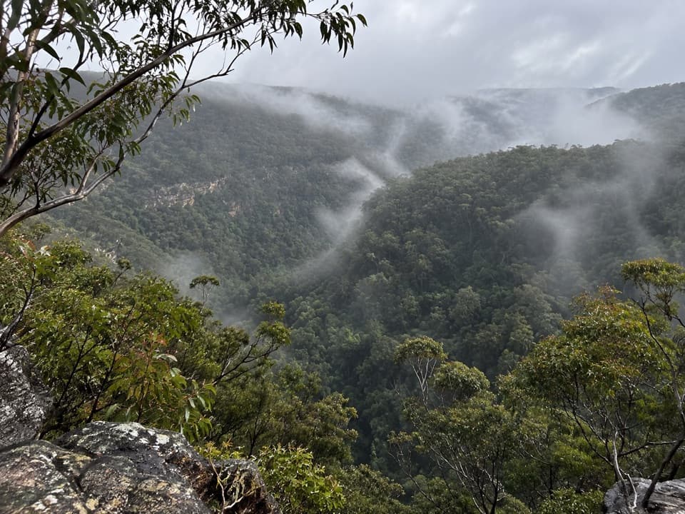 Sight · 0.1 km awayMartin's LookoutA brief lookout over Glenbrook Creek's sandstone gorge
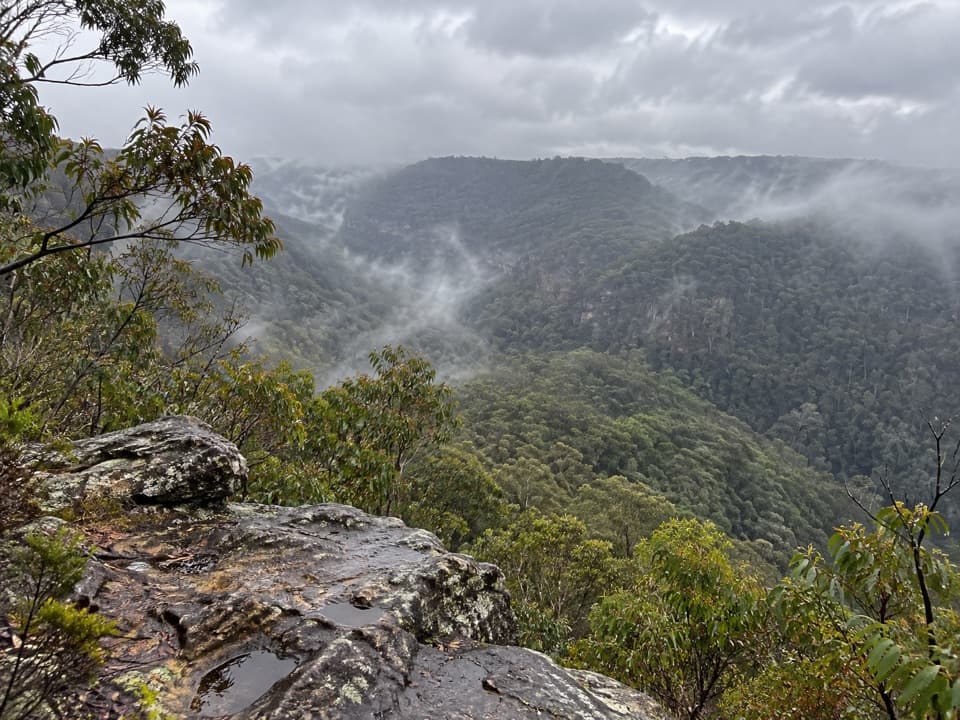 Sight · 0.7 km awayLost World LookoutA steep walk to a cross above Glenbrook Gorge.
 Sight · 5.5 km awayRed Hands CaveLayered hand stencils survive in a small sandstone shelter.
 Sight · 5.9 km awayBlue PoolA short, stepped walk to a sandy, fern-fringed creek pool.
 Entrance station · 6.4 km awayGlenbrook Entrance and Information CentreA practical gateway and start point for the Jellybean Pool walk.Beach · 6.6 km awayJellybean PoolA sandy creekside swim beneath Glenbrook Gorge’s sandstone walls.
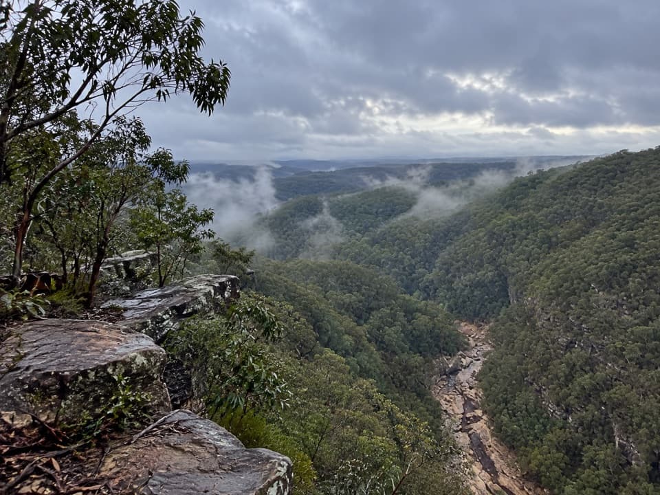 Sight · 7.3 km awayTunnel View lookoutA gorge-edge pause with 1911 tunnels and distant basalt peaks.
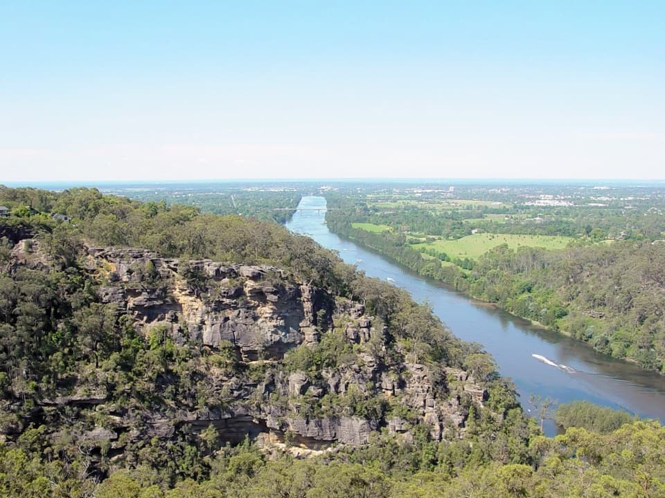 Sight · 7.7 km awayPortal lookoutA gorge-to-plain panorama from the end of a short all-access path.
Parkwolf’s Blue Mountains ranking

The audio tour guide for the drive, plus offline maps, trails, and wildlife heatmaps for when the signal drops.





