Federal Pass: Leura to Golden Stairs in Blue Mountains National Park

Blue Mountains National Park, NSW

Federal Pass: Leura to Golden Stairs

A hard 8.7 km one-way walk through Fern Bower to Golden Stairs.

Length
8.7km
Time
5hr
Elev. change
290m
Difficulty
Challenging
  • No dogs
  • High point 971 m
  • #17 of 110 in Blue Mountains

Hear the audio tour

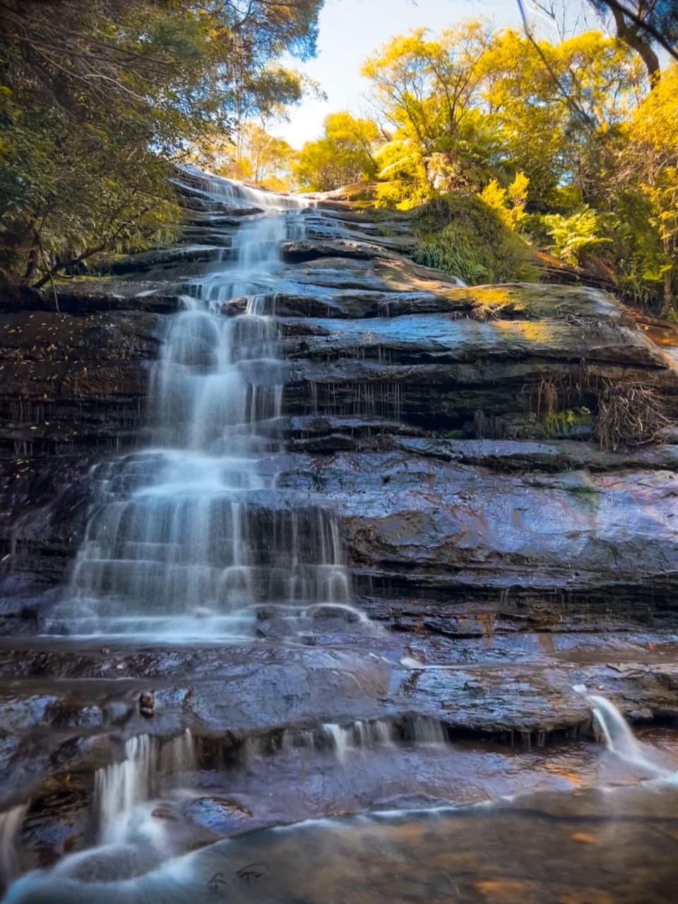
Leura Cascades and the Fern-lined Creek

Overview

About Federal Pass: Leura to Golden Stairs

Why go

  • Fern Bower and Leura Forest make a shaded, historic start to the valley walk.
  • Waterfalls, cliff scenery and the Three Sisters break up a long forest traverse.

Heads up

  • The steep stair approaches bookend a rough, tiring valley route.
  • Point-to-point transport needs planning between Leura and Narrow Neck.

Map & elevation

The route

Loading the Blue Mountains map
Full map
Elevation681–971 m
TrailheadLeura Cascades Fern Bower access, Merriwa Street-33.72023, 150.31743
Keep this map with you offline in the Parkwolf app

Plan your hike

Before you go

Parking

Start at the Leura Cascades access on Merriwa Street; follow the Fern Bower route toward Leura Forest. Nearby parking is available at the Leura Cascades picnic area. The finish is Golden Stairs carpark, reached from unsealed Glen Raphael Drive on Narrow Neck Plateau. Parking is provided at the access sites but weekend spaces can be limited. Arrange transport between ends.

Safety

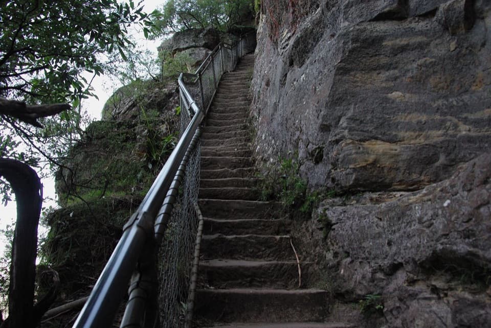
The Leura approach descends about 170 m on steep steps, and Golden Stairs is a strenuous climb at the far end. The valley track is rugged, with uneven steps and creek crossings. The park advises visitors with heart or breathing difficulties not to attempt the Leura descent and asks people affected by heights to reconsider; take care with children. Carry drinking water and check park alerts for maintenance, weather or fire danger closures. Pets are prohibited except certified assistance animals.

3 active Blue Mountains alerts

  • ClosureRoads and tracks closed across Blue Mountains National ParkMany roads, fire trails and walking tracks across Blue Mountains National Park are closed; do not enter closed areas.Official details
  • CautionPark-wide solid-fuel fire banA park fire ban is active across Blue Mountains National Park: campfires and solid-fuel barbecues and stoves are prohibited. - Gas and electric cookers are permitted, subject to safety rules.Official details
See all 3 alerts
A park ranger sits on a dash-mounted phone, talking, as Parkwolf’s Tour Guide plays “Army Cutworm Moths: A Grizzly Bear Buffet” on Grand Loop Road below Dunraven Pass in Yellowstone
Parkwolf Tour GuideThe highest, rockiest slopes around here are a summer buffet for grizzly bears.

Blue Mountains Tour Guide

Your drive to Federal Pass: Leura to Golden Stairs, narrated.

Parkwolf is a GPS audio tour guide for Blue Mountains National Park. As you drive, it chimes in with what’s ahead: hidden gems, upcoming stops, history, geology, and wildlife, right through your car’s speakers.

See the Blue Mountains audio tour

Recorded for this trailhead

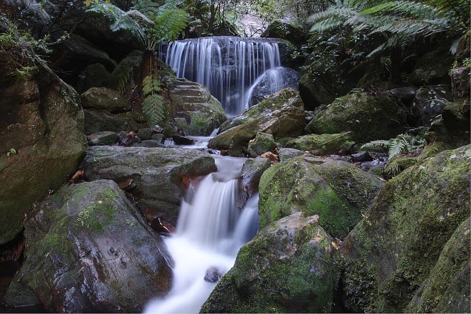
Leura Cascades and the Fern-lined Creek
0:00 / 0:35
“Leura Cascades is coming up, where a fern-lined creek spills over dark rock shelves. Choose it for a shady picnic or a walk beside the water, rather than another wide valley panorama.”

Plays as you drive up to this trailhead in the Parkwolf Blue Mountains Tour Guide.

More stories near here in the app

  • The Wattle's Air Supply
  • Katoomba Falls and Cascades
  • Elysian and Olympian Rocks
  • Echo Point and the Three Sisters
  • 188 audio storiesacross Blue Mountains’s roads, triggered by GPS as you drive
  • Wildlife heatmapsfor Grey Kangaroo, Wombat, Red-necked Wallaby, and 13 more
  • Works offlinemaps, 110 trails, 84 places, and audio download before you lose signal
  • CarPlay readysimple controls built for the drive
★★★★★
“Fantastic app with many points of information… It’s great to just turn on while you’re driving and it gives you an audio tour of the national Park. We love it!!!!”
JMJamesApp Store review
Download Parkwolf on the App StoreGet Parkwolf on Google Play

4.7 from 8,600+ ratings

Trail guide

Hiking Federal Pass: Leura to Golden Stairs

The route and its commitmentFederal Pass from Leura to Golden Stairs is an 8.7 km (5.

Federal Pass from Leura to Golden Stairs is an 8.7 km (5.4 mi) one-way walk through Fern Bower, Leura Forest and the wooded valley beneath Katoomba’s cliffs. This point-to-point version begins at the Leura Cascades access on Merriwa Street, descends through Fern Bower to join the valley track, then climbs Golden Stairs to the Narrow Neck carpark. Some route descriptions give 8 km; a connected map trace of this access-to-carpark itinerary measures 8.7 km, including the Fern Bower approach and Golden Stairs climb. Allow about five hours, with more time for rests. It is a hard Grade 4 walk, not an easy valley stroll. Arrange a pickup or a second vehicle before setting out.

Starting down from LeuraThe Leura entrance follows the Fern Bower route through a long, steep descent of about 170 m.

The Leura entrance follows the Fern Bower route through a long, steep descent of about 170 m. Wooden and rocky steps drop into cool, sheltered forest with tree ferns, bracken and moss; bridges cross the creek near Lila Falls and Marguerite Cascades. This descent is demanding on knees, and the climb at the far end is steep in the opposite direction. The park advises people with heart or breathing problems not to attempt the Leura descent and asks visitors affected by heights to reconsider; take particular care with children. Bring drinking water and use a map or GPS for this long point-to-point walk.

Leura ForestAt the valley floor, the route passes Leura Forest, a shaded picnic clearing with a rotunda and…

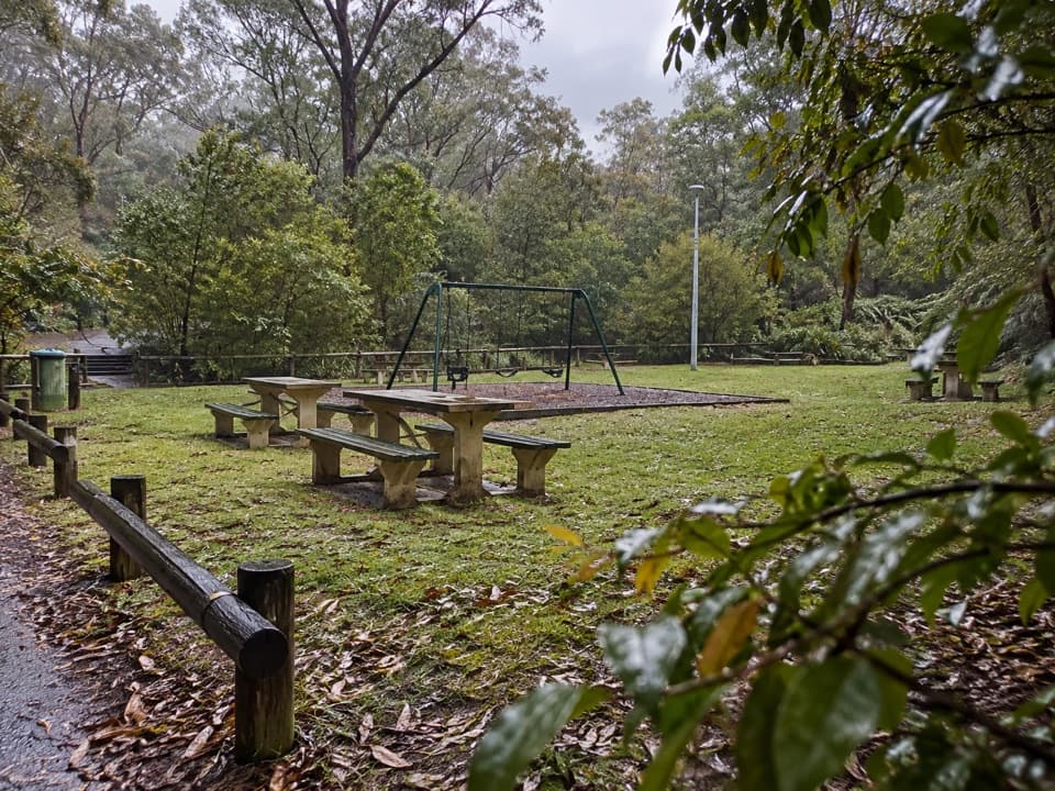
At the valley floor, the route passes Leura Forest, a shaded picnic clearing with a rotunda and the remains of an old tea house. The shelter and mossy boulder make a useful rest stop before the longer traverse. The area was once known as Lady Carrington’s Dining Hall and has been used for picnics since the late 1800s. Toilets and picnic tables are at the Leura Cascades picnic area above the descent. Scenic World facilities are on a separate Katoomba access, not on this line.

Along the valley beneath KatoombaFederal Pass follows the base of the sandstone cliffs, weaving through dense forest and across…

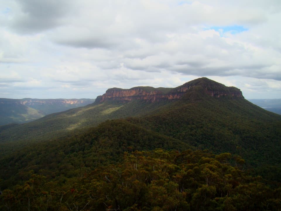
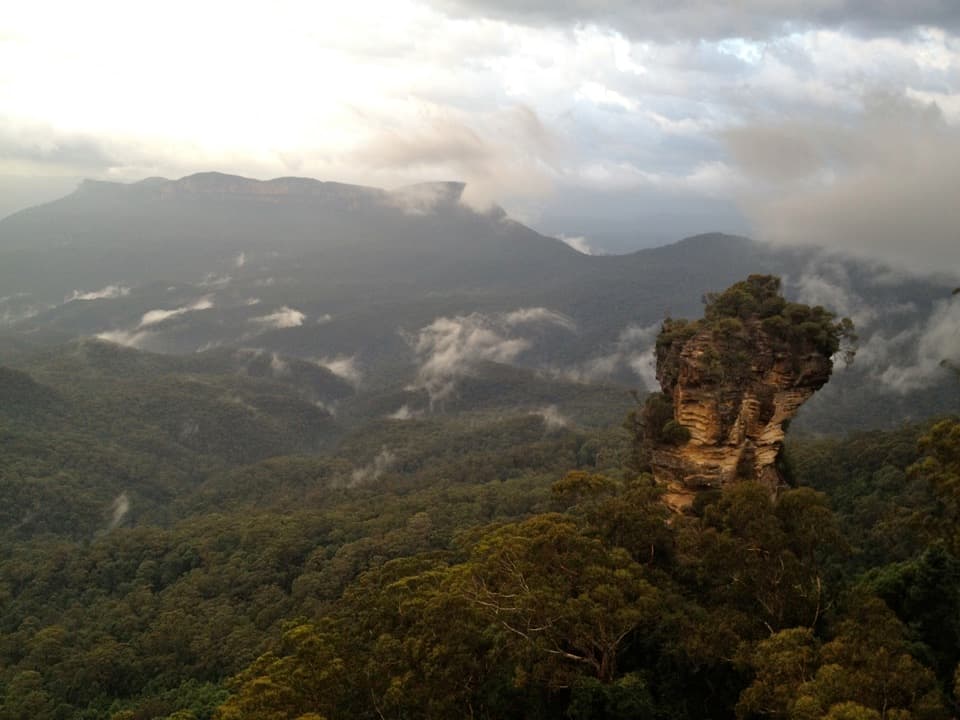
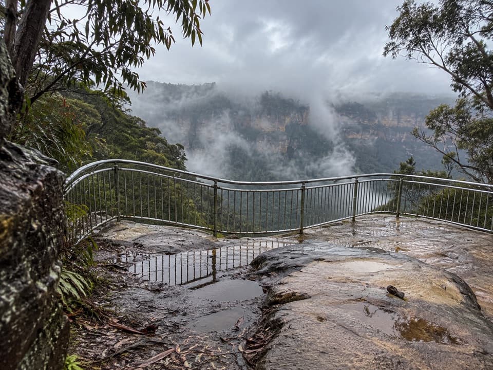
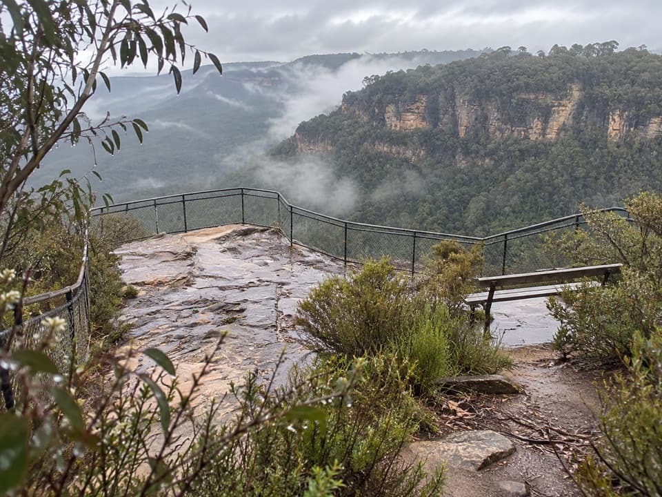
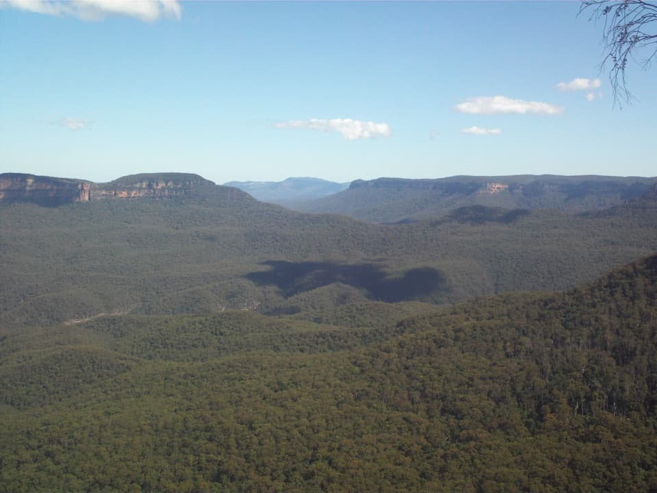
Federal Pass follows the base of the sandstone cliffs, weaving through dense forest and across creeks. The canopy often screens the views, but openings reveal the valley and the Three Sisters; the route also passes waterfalls and reaches Katoomba Creek at Cooks Crossing, where a metal bridge crosses the water. A scramble up the creek to the foot of Katoomba Falls is a separate side trip and is not included in this line. Expect uneven ground, steps and bridge crossings rather than a smooth valley path.

A layered walking historyThe Katoomba community first built Federal Pass between Leura Forest and Katoomba Falls.

The Katoomba community first built Federal Pass between Leura Forest and Katoomba Falls. The later western extension followed an old horse-drawn coal tramway toward Ruined Castle. Leura Forest itself became a well-used picnic stop, with early trestles and a tea house. This route turns uphill at Golden Stairs; the longer walk onward to Ruined Castle is a different outing, not an extra few minutes on this itinerary.

Finishing at Golden StairsThe final climb uses Golden Stairs to reach the carpark on Narrow Neck Plateau, off unsealed…

The final climb uses Golden Stairs to reach the carpark on Narrow Neck Plateau, off unsealed Glen Raphael Drive. The access is steep and can feel especially tough after the valley distance. The track is one-way, so do not leave a vehicle at Leura and assume the loop closes here. Parking is available at the listed access sites, though weekend spaces can be limited. Toilets at Scenic World are on a separate Katoomba access, not on this line. Pets are prohibited throughout the national park except certified assistance animals. Check current park alerts before leaving because maintenance, weather or fire danger can close track sections.

Wildlife

Wildlife in Blue Mountains

All Blue Mountains wildlife maps

Sighting maps show where each species has been reported across Blue Mountains. Wildlife moves, so no sighting is guaranteed.

Keep exploring

Near Federal Pass: Leura to Golden Stairs

See it all on the map

Trails that start nearby

Places near the trailhead

Parkwolf’s Blue Mountains ranking

Top-rated trails in Blue Mountains

All 110 trails
  1. 1Grand Canyon trackModerate · 6.3 km
  2. 2Three Sisters walkEasy · 0.8 km
  3. 3Lockley Pylon walking trackModerate · 7 km
  4. 4National PassChallenging · 5.1 km
  5. 5Wentworth Pass loop walking trackChallenging · 5 km
  6. 6Prince Henry Cliff walkModerate · 7 km

Take Parkwolf to Blue Mountains.

The audio tour guide for the drive, plus offline maps, trails, and wildlife heatmaps for when the signal drops.

4.7 from 8,600+ ratings

Download Parkwolf on the App StoreGet Parkwolf on Google Play