Fern Bower to Furber Steps walk in Blue Mountains National Park

Blue Mountains National Park, NSW

Fern Bower to Furber Steps walk

A steep valley crossing from one stairway to another.

Photo: Flickr
Length
5.5km
Time
3.5hr
Elev. change
284m
Difficulty
Challenging
  • No dogs
  • High point 950 m
  • #42 of 110 in Blue Mountains

Hear the audio tour

Leura Cascades and the Fern-lined Creek

Overview

About Fern Bower to Furber Steps walk

Why go

  • The steep stairways make the descent and climb memorable.
  • Cool valley forest, waterfalls and a chance to hear lyrebirds.

Heads up

  • Very steep, rough tread with many steps and obstacles.
  • The one-way finish adds return-planning.

Map & elevation

The route

Loading the Blue Mountains map
Full map
Elevation666–950 m
TrailheadFern Bower Track access on Cliff Drive, Katoomba-33.72104, 150.31873
Keep this map with you offline in the Parkwolf app

Plan your hike

Before you go

Parking

Street parking is available near Fern Bower on Cliff Drive. Nearby car parks are at Leura Cascades picnic area, Katoomba Falls Reserve and Scenic World, where the nearest toilets and picnic tables are located. Plan how to return from Furber Steps to the Cliff Drive start.

Safety

Grade 4: very steep, with many steps and a rough, obstacle-filled track. Some bushwalking experience is recommended. Not wheelchair accessible. Pets are prohibited except certified assistance animals.

3 active Blue Mountains alerts

  • ClosureRoads and tracks closed across Blue Mountains National ParkMany roads, fire trails and walking tracks across Blue Mountains National Park are closed; do not enter closed areas.Official details
  • CautionPark-wide solid-fuel fire banA park fire ban is active across Blue Mountains National Park: campfires and solid-fuel barbecues and stoves are prohibited. - Gas and electric cookers are permitted, subject to safety rules.Official details
See all 3 alerts
A park ranger sits on a dash-mounted phone, talking, as Parkwolf’s Tour Guide plays “Army Cutworm Moths: A Grizzly Bear Buffet” on Grand Loop Road below Dunraven Pass in Yellowstone
Parkwolf Tour GuideThe highest, rockiest slopes around here are a summer buffet for grizzly bears.

Blue Mountains Tour Guide

Your drive to Fern Bower to Furber Steps walk, narrated.

Parkwolf is a GPS audio tour guide for Blue Mountains National Park. As you drive, it chimes in with what’s ahead: hidden gems, upcoming stops, history, geology, and wildlife, right through your car’s speakers.

See the Blue Mountains audio tour

Recorded for this trailhead

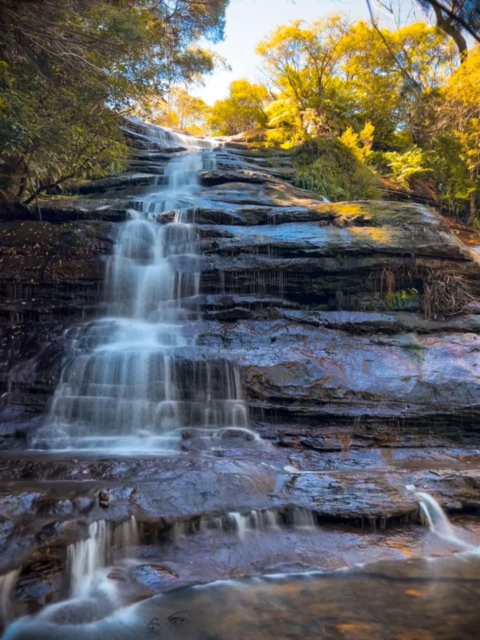
Leura Cascades and the Fern-lined Creek
0:00 / 0:35
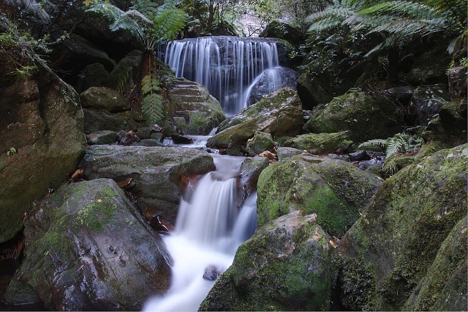
“Leura Cascades is coming up, where a fern-lined creek spills over dark rock shelves. Choose it for a shady picnic or a walk beside the water, rather than another wide valley panorama.”

Plays as you drive up to this trailhead in the Parkwolf Blue Mountains Tour Guide.

More stories near here in the app

  • The Wattle's Air Supply
  • Elysian and Olympian Rocks
  • Gordon Falls and Pool of Siloam
  • Echo Point and the Three Sisters
  • 188 audio storiesacross Blue Mountains’s roads, triggered by GPS as you drive
  • Wildlife heatmapsfor Grey Kangaroo, Wombat, Red-necked Wallaby, and 13 more
  • Works offlinemaps, 110 trails, 84 places, and audio download before you lose signal
  • CarPlay readysimple controls built for the drive
★★★★★
“Fantastic app with many points of information… It’s great to just turn on while you’re driving and it gives you an audio tour of the national Park. We love it!!!!”
JMJamesApp Store review
Download Parkwolf on the App StoreGet Parkwolf on Google Play

4.7 from 8,600+ ratings

Trail guide

Hiking Fern Bower to Furber Steps walk

A steep valley through-walkFern Bower to Furber Steps is a 5.

Fern Bower to Furber Steps is a 5.5 km one-way walk from Cliff Drive down into Jamison Valley and back up to the Katoomba cliff top. Allow 3–4 hours. You descend the steep Fern Bower stairs, cross the rough valley track, then finish with another steep staircase at Furber Steps. This is a proper half-day hike, not a casual waterfall stroll: the track is very steep, has many steps and obstacles, and suits walkers with some bushwalking experience. If you’re doing Grand Cliff Top Walk, this is the more adventurous second-day option.

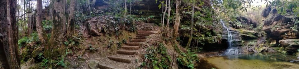
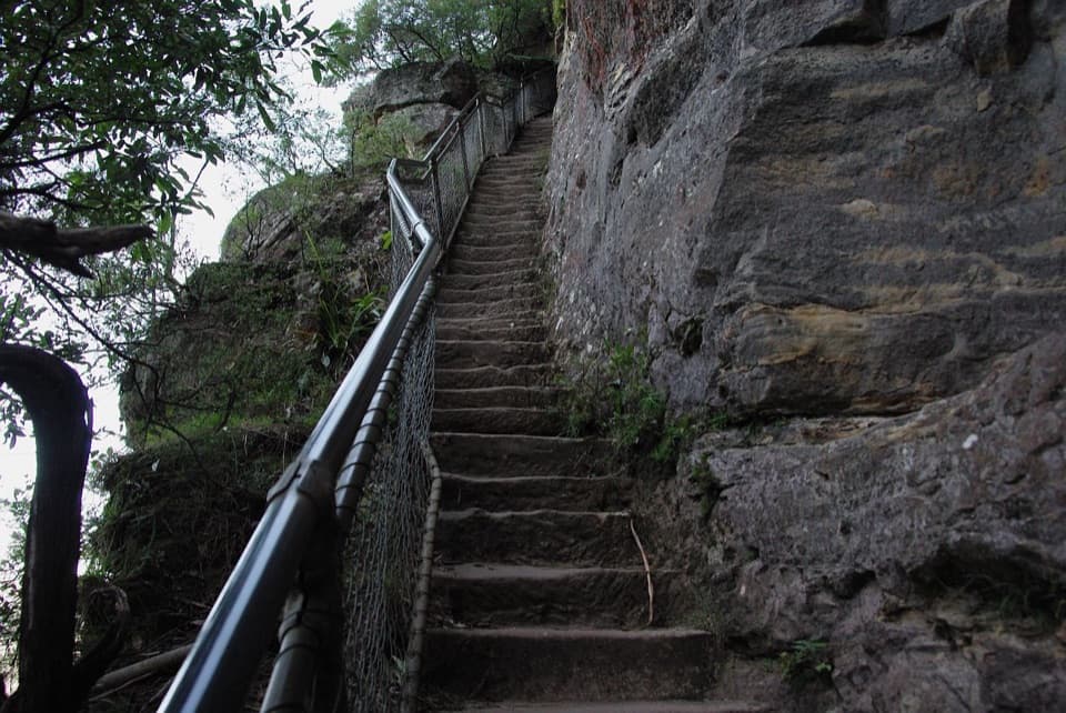
Down Fern BowerThe walk starts by dropping from Cliff Drive on a steep staircase into the valley.

The walk starts by dropping from Cliff Drive on a steep staircase into the valley. The route is clearly signposted, but the tread is rough and obstacle-filled. Keep some energy in reserve for the climb out at the far end.

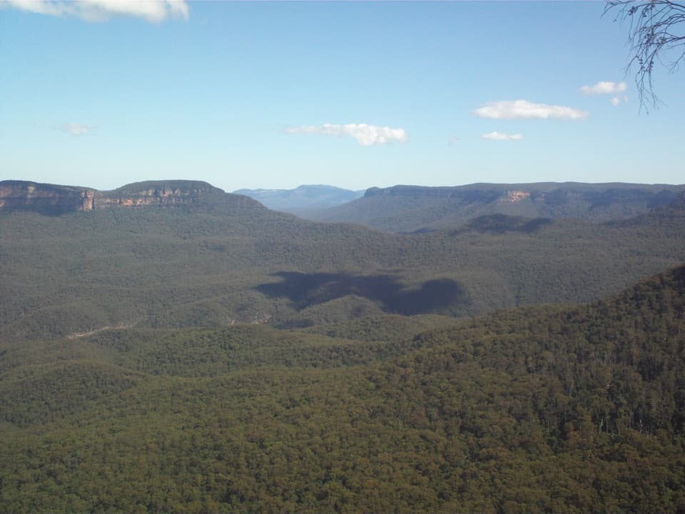
Across the valleyThe winding path follows rough sandstone track through cool rainforest and forest.

The winding path follows rough sandstone track through cool rainforest and forest. Waterfalls and picnic spots are part of the valley experience, though the route information doesn’t tie them to named stops; think of this as a forest crossing rather than a walk to one guaranteed waterfall. Lyrebirds are a good possibility in the undergrowth, and you may hear their calls before you see one.

Back up Furber StepsAt the base of Furber Steps, a steep staircase climbs back to the cliff top.

At the base of Furber Steps, a steep staircase climbs back to the cliff top. These hand-built stairs are a big part of the walk, both as a serious final climb and as a glimpse of the track’s older construction.

A short piece of a much longer trackThe valley section follows the Katoomba end of Federal Pass.

The valley section follows the Katoomba end of Federal Pass. The track was first built by the Katoomba community between Leura Forest and Katoomba Falls, then extended along the old horse-drawn coal tramway toward Ruined Castle. This walk uses only a short section of that longer route.

Parking and the one-way finishStreet parking is available near Fern Bower on Cliff Drive.

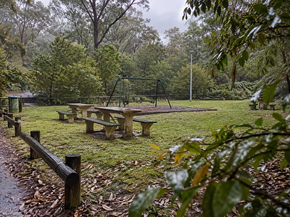
Street parking is available near Fern Bower on Cliff Drive. The nearest car parks, toilets and picnic tables are at Leura Cascades picnic area, Katoomba Falls Reserve and Scenic World; those are access-area facilities, not services through the valley. Bring water and a snack. This is point to point, so plan how you’ll get back to Cliff Drive after finishing at Furber Steps. Pets aren’t allowed in Blue Mountains National Park except certified assistance animals.

Wildlife

Wildlife in Blue Mountains

All Blue Mountains wildlife maps

Sighting maps show where each species has been reported across Blue Mountains. Wildlife moves, so no sighting is guaranteed.

Keep exploring

Near Fern Bower to Furber Steps walk

See it all on the map

Trails that start nearby

Places near the trailhead

Parkwolf’s Blue Mountains ranking

Top-rated trails in Blue Mountains

All 110 trails
  1. 1Grand Canyon trackModerate · 6.3 km
  2. 2Three Sisters walkEasy · 0.8 km
  3. 3Lockley Pylon walking trackModerate · 7 km
  4. 4National PassChallenging · 5.1 km
  5. 5Wentworth Pass loop walking trackChallenging · 5 km
  6. 6Prince Henry Cliff walkModerate · 7 km

Take Parkwolf to Blue Mountains.

The audio tour guide for the drive, plus offline maps, trails, and wildlife heatmaps for when the signal drops.

4.7 from 8,600+ ratings

Download Parkwolf on the App StoreGet Parkwolf on Google Play