Parking
Start from Leura Cascades Picnic Area off Cliff Drive; roadside parking around the access can be limited at busy times.

Blue Mountains National Park, NSW
A steep loop through cascades, rainforest and cliffside views.
Overview
Map & elevation
Plan your hike

The highest, rockiest slopes around here are a summer buffet for grizzly bears.
Blue Mountains Tour Guide
Parkwolf is a GPS audio tour guide for Blue Mountains National Park. As you drive, it chimes in with what’s ahead: hidden gems, upcoming stops, history, geology, and wildlife, right through your car’s speakers.
See the Blue Mountains audio tourRecorded for this trailhead
Leura Cascades and the Fern-lined Creek“Leura Cascades is coming up, where a fern-lined creek spills over dark rock shelves. Choose it for a shady picnic or a walk beside the water, rather than another wide valley panorama.”
Plays as you drive up to this trailhead in the Parkwolf Blue Mountains Tour Guide.
More stories near here in the app
“Fantastic app with many points of information… It’s great to just turn on while you’re driving and it gives you an audio tour of the national Park. We love it!!!!”


Trail guide
The Leura Cascades Fern Bower circuit is a steep loop from the picnic-area access, following Leura Falls Creek through cascades, rainforest and cliff viewpoints. The stored closed line measures 2.19 km (1.36 mi). Other route descriptions give 4.5 km, but no complete line verifies which added lookout paths make up the difference; this entry follows the measured core loop. Check the official trail map before adding side paths.
From the stone arch, steps descend beside Leura Falls Creek and cross a footbridge before the route reaches a series of cascade viewpoints. A lookout above Bridal Veil Falls opens toward Jamison Valley. The water and cliff scenery are the main payoff, with rock formations and overhangs along the cliff walk.
The loop climbs along Round Track, then drops steeply on Amphitheatre Track into rainforest. It climbs again on stairs and traverses a ledge to a natural amphitheatre; Fern Bower steps lead back up to Prince Henry Cliff Walk and toward the creek crossing. Expect repeated steep descents and climbs on a formed track with obstacles. Allow about two hours for the mapped core with stops; longer estimates apply to the longer published circuit. The walk is signposted, but several connecting tracks and lookout spurs make a map useful at junctions. Surfaces can be slippery after rain, and mobile reception is limited.
Pause in the fern-lined section and listen for the catbird and wonga pigeon. The route's steep stairs, creek crossings and ledge make this a demanding walk despite its compact mapped distance. Pets are not permitted, except certified assistance animals.
Wildlife
 58 sightingsGrey KangarooMost seen around 6 AMSighting map
 43 sightingsWombatMost seen around 6 PMSighting map
 18 sightingsRed-necked WallabyMost seen around 6 PMSighting map
 53 sightingsSwamp WallabyMost seen around 7 AMSighting map
 23 sightingsBrushtail PossumMost seen around 7 PMSighting map
 30 sightingsRing-tailed PossumMost seen around 7 PMSighting map
Sighting maps show where each species has been reported across Blue Mountains. Wildlife moves, so no sighting is guaranteed.
Keep exploring
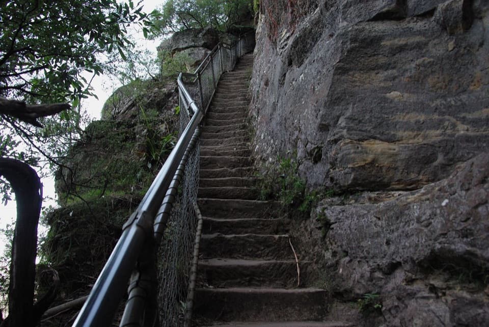 ChallengingFern Bower to Furber Steps walk5.5 km · 3.5 hr · 0.2 km awayA steep valley crossing from one stairway to another.
 ChallengingFederal Pass: Leura to Golden Stairs8.7 km · 5 hr · 0.3 km awayA hard 8.7 km one-way walk through Fern Bower to Golden Stairs.
 ModerateGordon Falls to Katoomba walk8 km · 3.5 hr · 1.1 km awayA cliffside crossing of waterfalls, sandstone steps and valley views.
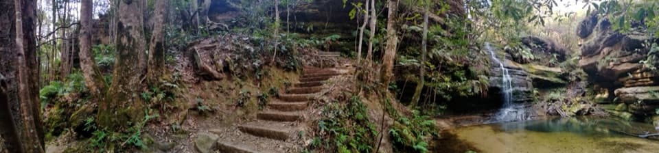 ModeratePool of Siloam walk1.6 km · 1 hr · 1.1 km awayA waterfall walk with steep steps and a creekside pool.
 ModerateLyrebird Dell walking track1.7 km · 1.1 hr · 1.1 km awaySteep stairs link Pool of Siloam’s waterfall to a sandstone cave.
 ChallengingEcho Point to Scenic World via Giant Stairway4.7 km · 2.5 hr · 1.4 km awayDescend the Giant Stairway, cross the valley, climb to Scenic World.
 EasyThree Sisters walk0.8 km · 35 min · 1.4 km awayA short paved walk to three sandstone spires above a vast valley.
 ModeratePrince Henry Cliff walk7 km · 3.5 hr · 1.5 km awayA cliff-top walk with Three Sisters views and more than 20 lookouts.
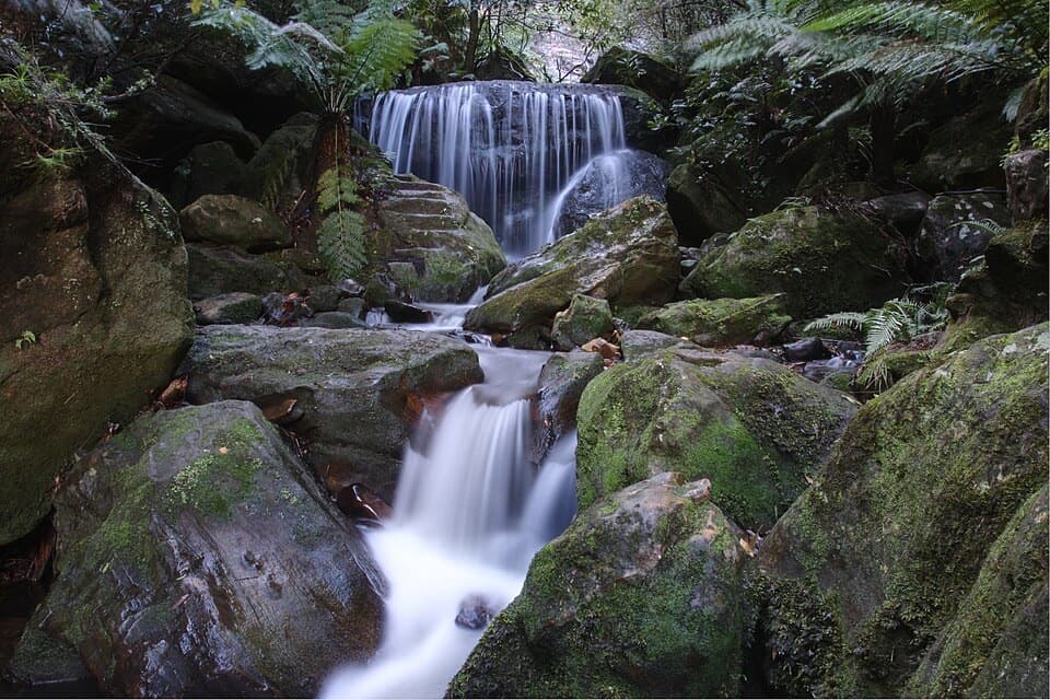 Sight · 0.2 km awayLeura Cascades and picnic areaA fern-lined creek spills through several waterfalls below Leura.
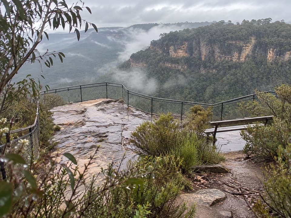 Sight · 0.9 km awayOlympian RockA short stair climb opens onto a broad Jamison Valley view.
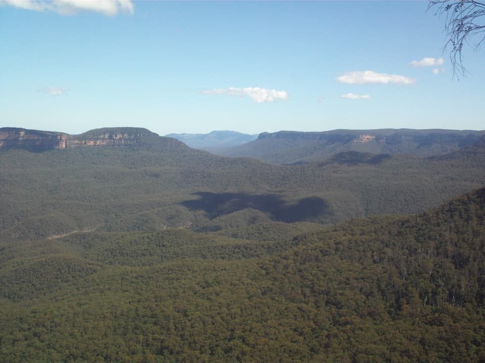 Sight · 1 km awayElysian Rock LookoutA quieter perch for a big sweep across the Jamison Valley.
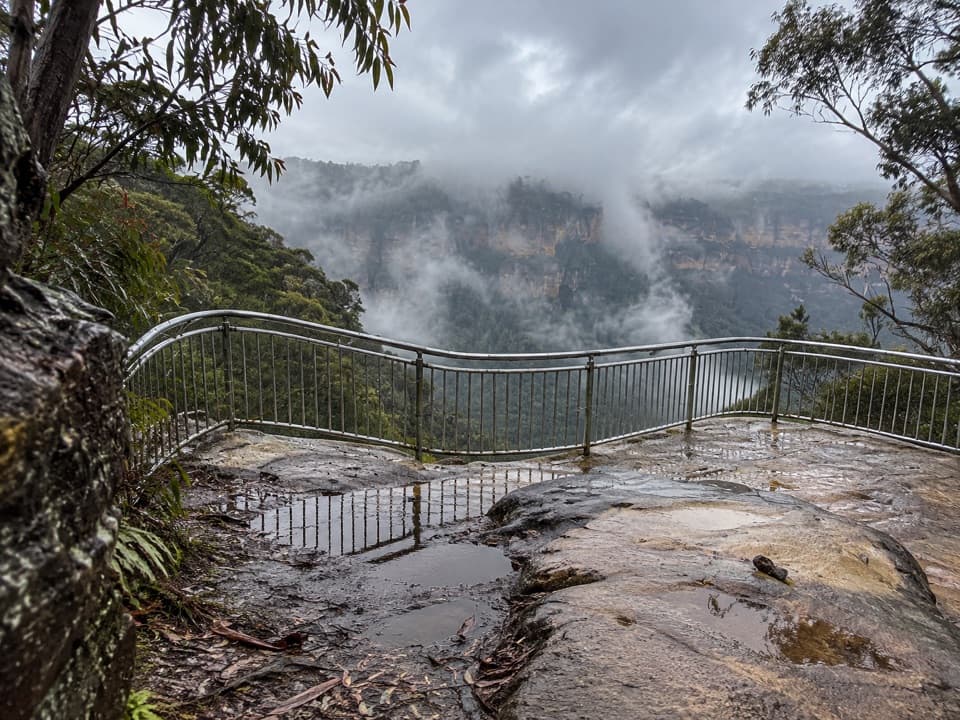 Sight · 1.1 km awayTallawalla lookoutA shaded pause on the walk for Leura and Sublime Point cliffs.
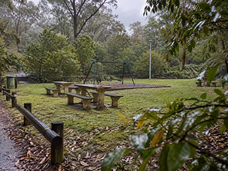 Picnic area · 1.1 km awayGordon Falls picnic areaPicnic tables, a playground and cliff walks close at hand.
 Sight · 1.2 km awayLyrebird DellA shaded creek walk reaches a sandstone shelter and waterfall pool.
 Sight · 1.2 km awayGordon Falls lookoutSteps down to sandstone cliffs, forested valleys and a distant waterfall.
 Sight · 1.4 km awayPool of SiloamA shaded rainforest pool with a steep climb back out.
Parkwolf’s Blue Mountains ranking

The audio tour guide for the drive, plus offline maps, trails, and wildlife heatmaps for when the signal drops.



