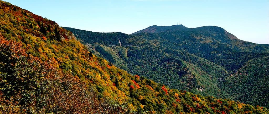
Best time to visit
- Weekdays or early mornings for easier parking and a quieter trail.
- Spring to early summer brings wildflowers; good-weather weekends draw crowds.
- After rain, expect slippery rock—save the summit outcrops for dry conditions.
Sight · Blue Ridge Parkway
Quieter Peaks of Otter summit with big views from rocky outcrops
Overview
Flat Top Mountain is one of the Peaks of Otter and a solid pick if you want a challenging hike with serious views but fewer crowds than Sharp Top. The mountain tops out at 4,001 feet and sits just off the Blue Ridge Parkway near milepost 83.5. Expect a sustained climb, forested switchbacks, and excellent payoffs from rocky outcrops just shy of the wooded high point.
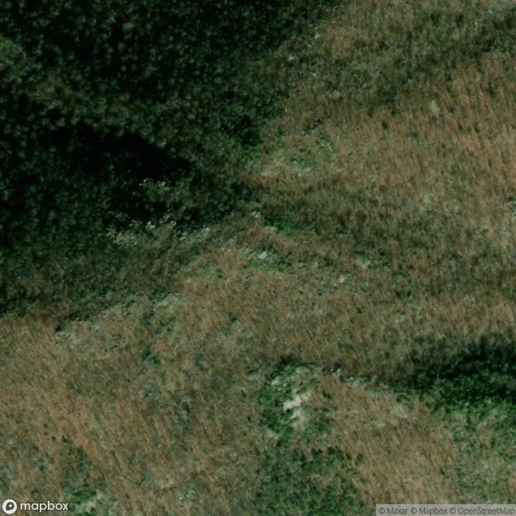
Map
Local know-how
Park early at the MP 83 lot—it serves two popular trails and fills fast.
From the summit area, take side paths to rocky outcrops like The Pinnacle for the best views.
Choose the Parkway trailhead for a more gradual climb; the picnic-area start is steeper.
Rocks get slick after rain—wear shoes with solid traction.
Carry water, snacks, and a map or GPS; signage near the top is limited.
Plan your stop

The highest, rockiest slopes around here are a summer buffet for grizzly bears.
Blue Ridge Parkway Tour Guide
Parkwolf is a GPS audio tour guide for Blue Ridge Parkway. As you drive, it chimes in with what’s ahead: hidden gems, upcoming stops, history, geology, and wildlife, right through your car’s speakers.
See the Blue Ridge Parkway audio tourRecorded for this area
Parkway Black Bears: Spotting and Safety“The Parkway is prime black bear country. They're most active around dawn and dusk, especially in late summer and fall.”
Plays on the road 0.6 mi from Flat Top Mountain in the Parkwolf Blue Ridge Parkway Tour Guide.
More stories near here in the app
“…We knew we wanted to drive the Blue Ridge Parkway. The narration was impeccably timed. The facts and info provided were meaningful. Without it, the trip would not have been near as awesome.”


Guide
You’ve got two common starts:
Most hikers do this as an out-and-back of roughly 5.2–5.7 miles (or about 8.5 km if you include The Pinnacle). Benches along the trail make the ascent more manageable. The final stretch weaves among boulders—fun terrain, but you’ll need to hunt the side paths for the best vistas.
The true summit is in the woods, so don’t stop there. Follow side trails to rocky outcrops, including The Pinnacle, for sweeping Blue Ridge panoramas and classic sightlines toward Sharp Top. You’ll pass interesting features like large boulders and the noted Cross Rock near a side-trail junction.
Forest mixes of oak, poplar, hickory, and beech, plus seasonal color from mountain laurel, rhododendron, and wildflowers in spring and early summer. Keep an eye out for birds (this route is popular with birders), butterflies, deer, and the usual small forest critters; black bears are occasionally spotted.
The hike is rated challenging by many and can take a little over three hours depending on your pace and starting point. Flat Top sees fewer people than Sharp Top, but this is still Peaks of Otter—expect company on fair-weather weekends, and know that the shared parking area fills fast.
If you’re feeling ambitious, pair Flat Top with Sharp Top or add a separate stop at Fallingwater Cascades. It’s a classic Peaks of Otter sampler with big views and varied terrain.
Wildlife
 1,208 sightingsBlack BearMost seen around 7 AMSighting map
 1,020 sightingsElkMost seen around 7 AMSighting map
 2,257 sightingsWhite-tailed DeerMost seen around 6 PMSighting map
 200 sightingsCoyoteMost seen around 6 PMSighting map
 1,126 sightingsWild TurkeyMost seen around 7 AMSighting map
 255 sightingsRed-tailed HawkMost seen around 11 AMSighting map
Sighting maps show where each species has been reported across Blue Ridge Parkway. Wildlife moves, so no sighting is guaranteed.
Keep exploring
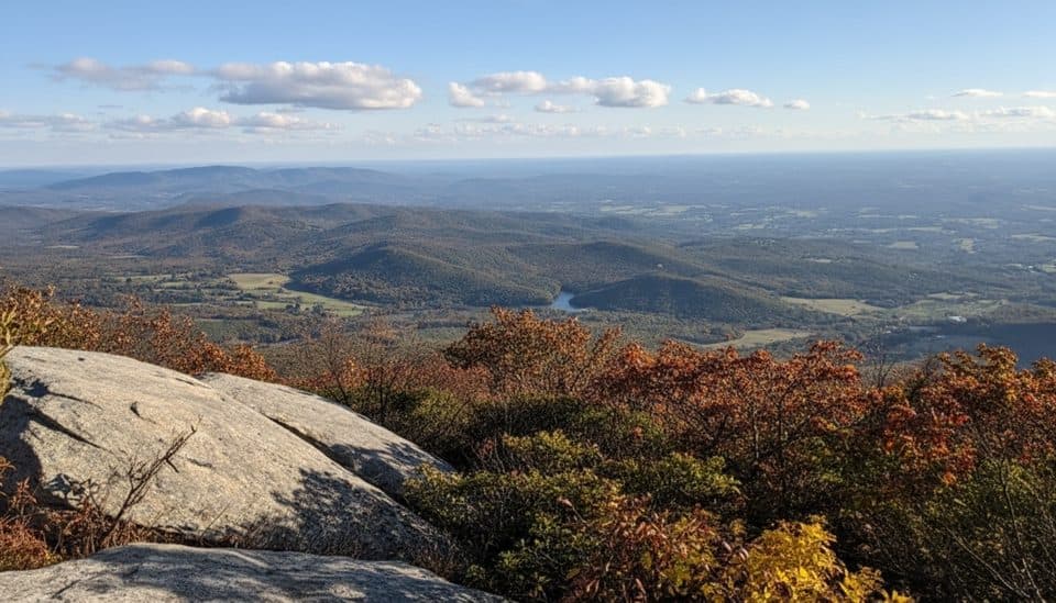 ChallengingFlat Top Trail4.6 mi · 3.5 hr · 1.2 mi awayStrenuous point-to-point traverse over Virginia’s highest Peak of Otter
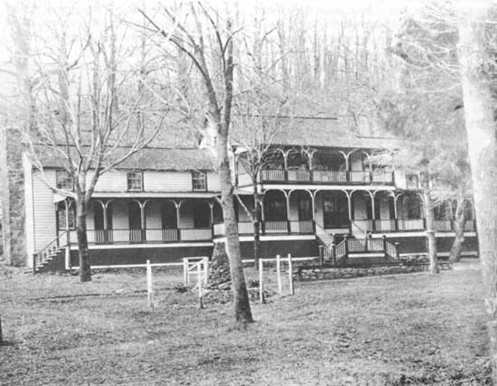 EasyJohnson Farm Loop Trail1.8 mi · 2 hr · 1.2 mi awayEasy loop to the restored 1850s Johnson Farm at Peaks of Otter.
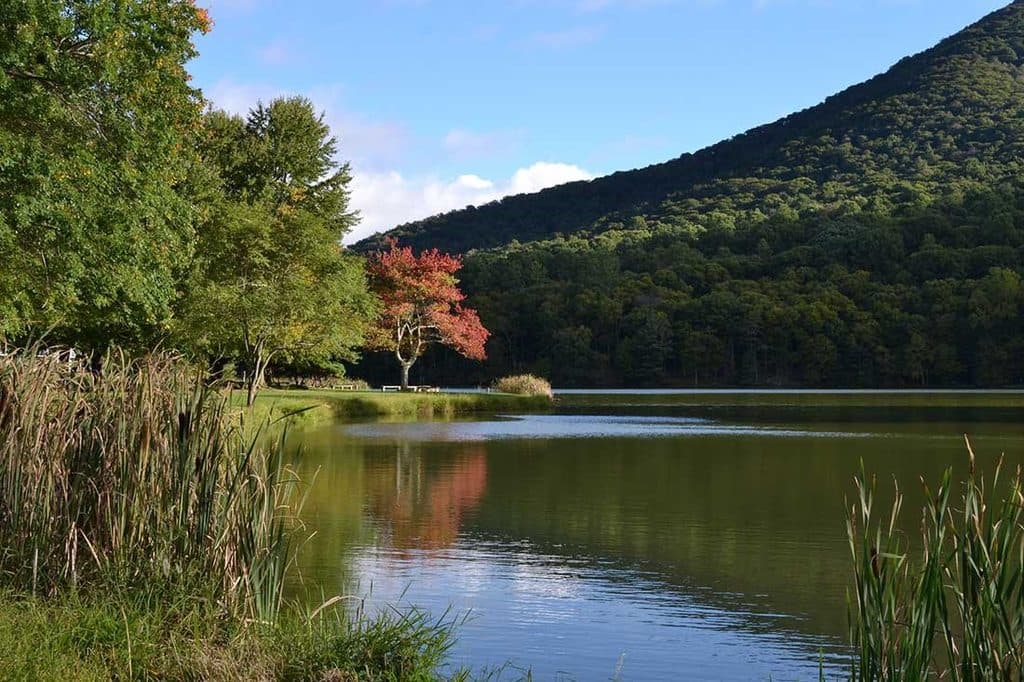 EasyAbbott Lake Loop Trail1 mi · 30 min · 1.3 mi awayPaved one mile lakeside loop with postcard Peaks of Otter views
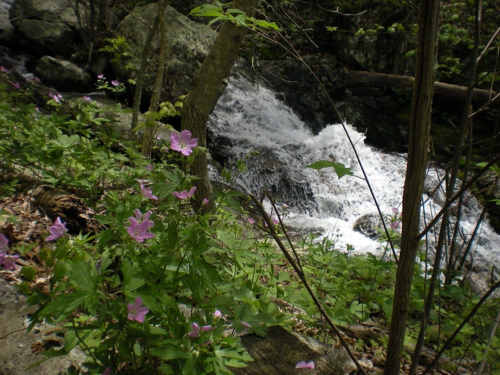 ModerateFallingwater Cascades Loop1.6 mi · 1 hr · 1.5 mi awayModerate 1.6-mile waterfall loop with cascades, rhododendron, and a real climb out.
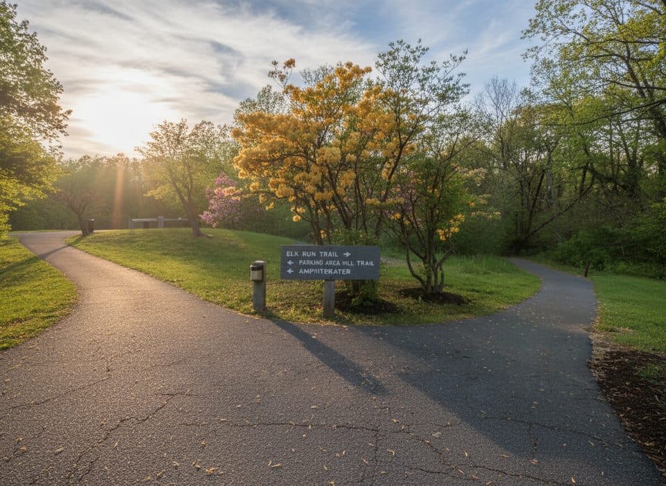 EasyElk Run Trail0.8 mi · 1 hr · 1.6 mi awayShort, self-guided forest loop behind the Peaks of Otter Visitor CenterModerateHarkening Hill Loop Trail3.3 mi · 2.5 hr · 1.6 mi awayQuiet Peaks of Otter loop to Harkening Hill, Balance Rock, and ridge views
 ChallengingSharp Top Trail3 mi · 3 hr · 1.6 mi awayStrenuous 3-mile climb to a rocky summit with sweeping 360-degree views
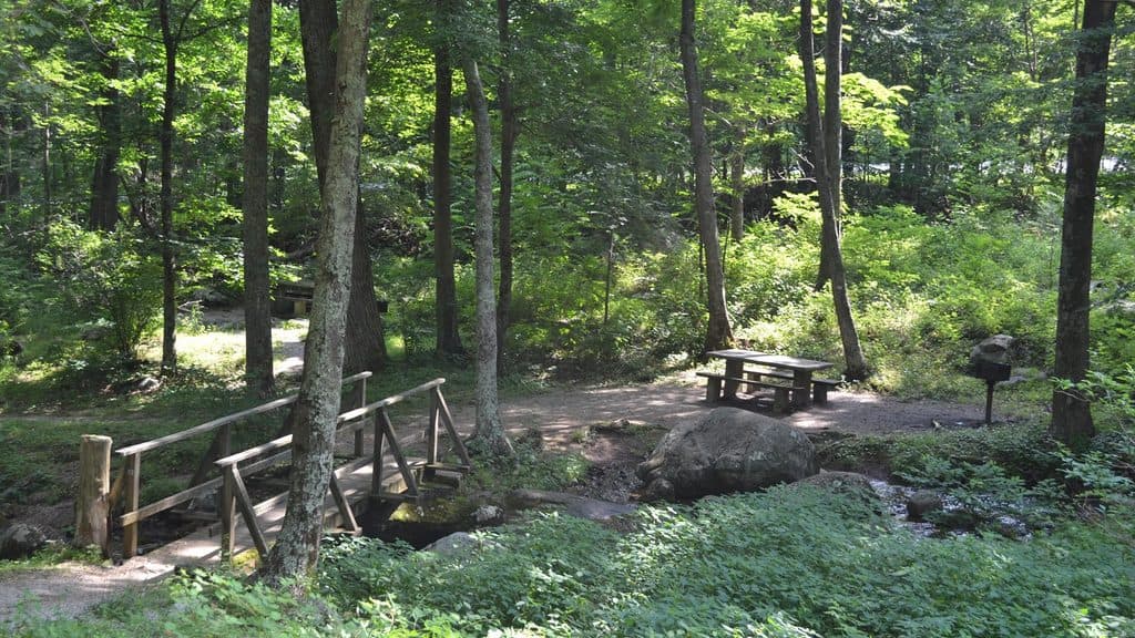 Picnic area · 1.1 mi awayPeaks of Otter Picnic AreaShady, creekside picnic spot tucked between Peaks trails
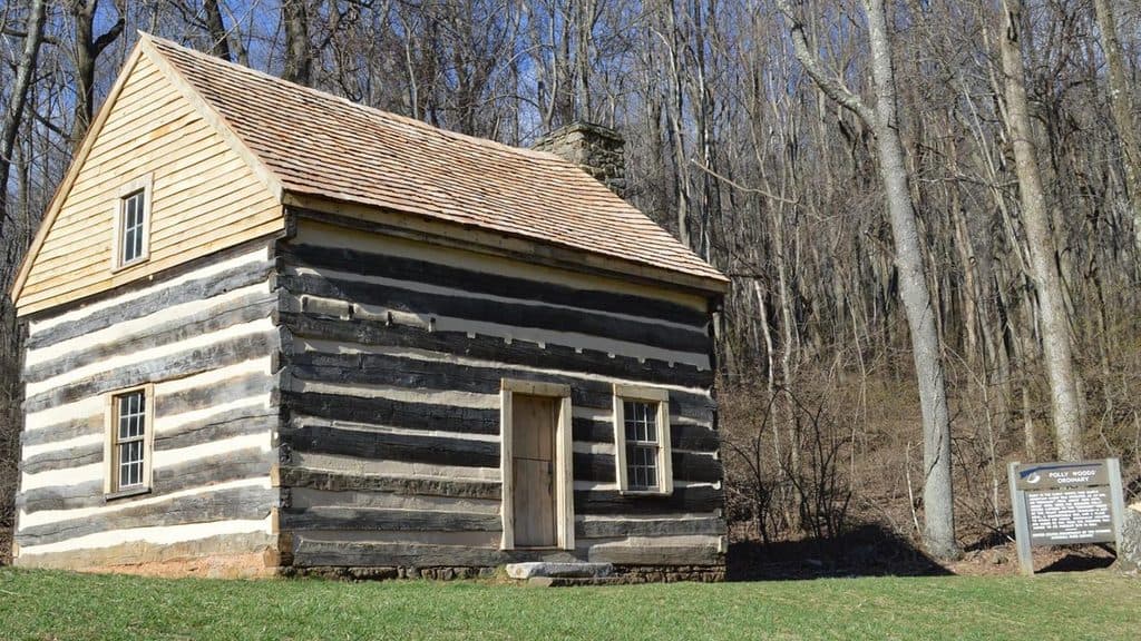 Sight · 1.2 mi awayPolly Woods OrdinaryTiny 1830s roadside inn preserved by Abbott Lake
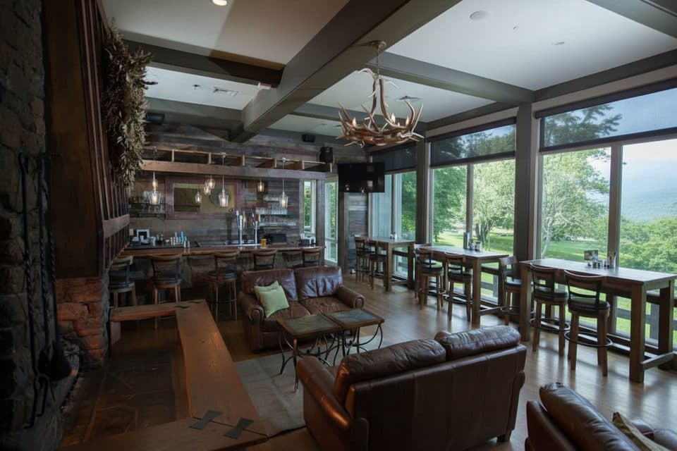 Restaurant · 1.2 mi awayPeaks of Otter RestaurantSit-down meals with Abbott Lake and Sharp Top views
 Sight · 1.2 mi awayJohnson FarmHistoric mountain farmstead reached by a mellow loop hike
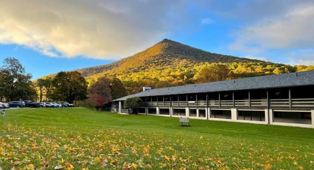 Lodging · 1.2 mi awayPeaks of Otter LodgeClassic Parkway lodge on Abbott Lake with big Sharp Top views
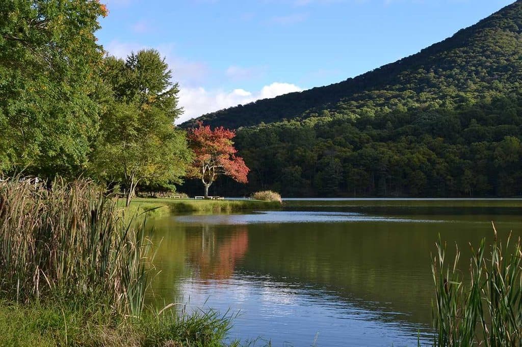 Sight · 1.3 mi awayAbbott LakeMirror-like lake loop with Peaks of Otter views and lodge next door
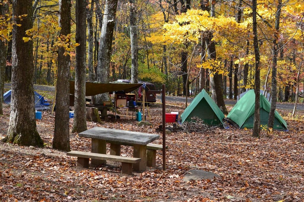 Campground · 1.3 mi awayPeaks of Otter CampgroundWoodsy Parkway basecamp steps from trails, Abbott Lake, and a lodge
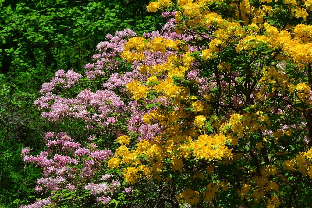 Visitor center · 1.6 mi awayPeaks of Otter Visitor CenterTrail hub with exhibits, lake views, and Sharp Top shuttle
Parkwolf’s Blue Ridge Parkway ranking

The audio tour guide for the drive, plus offline maps, trails, and wildlife heatmaps for when the signal drops.