Moderate

Table Rock Mountain Trail

Short, steep climb to Linville Gorge’s blockbuster 360-degree views
Table Rock Mountain Trail, Blue Ridge Parkway
Distance2 mi
Typical time2 hr
DifficultyModerate
PetsAllowed

Why hike it

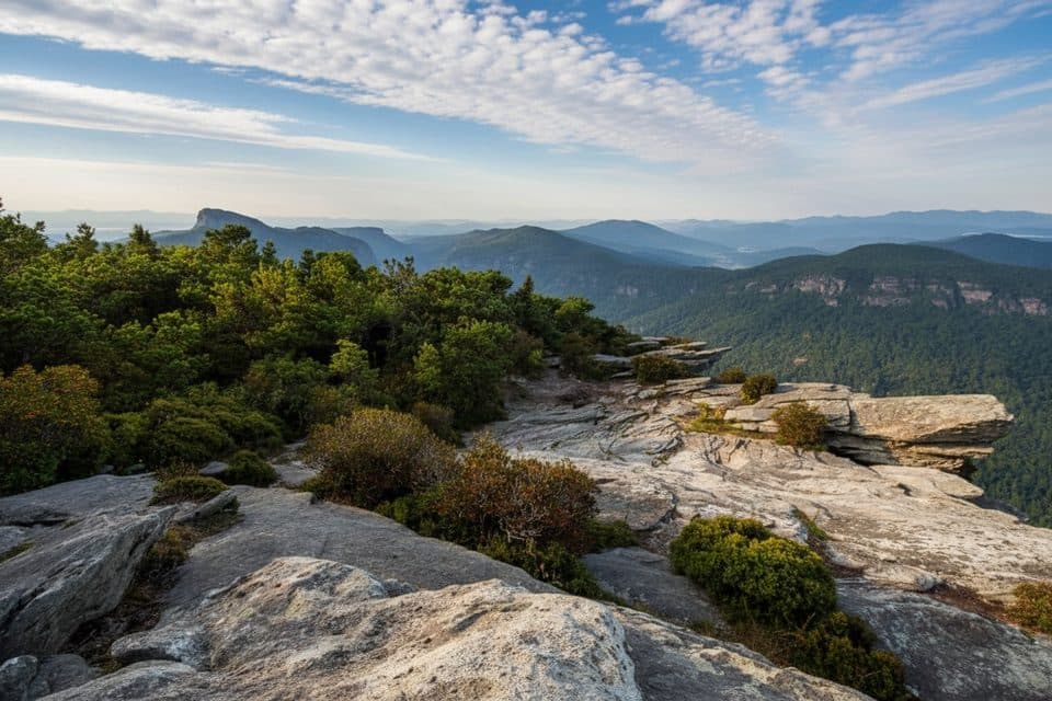
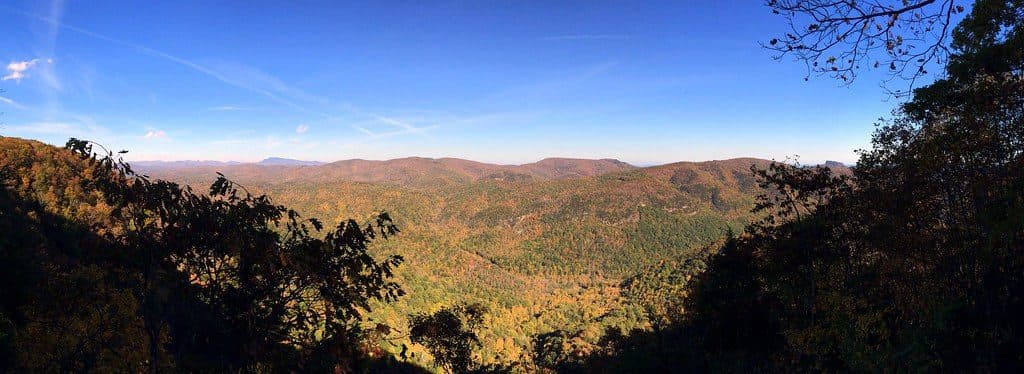
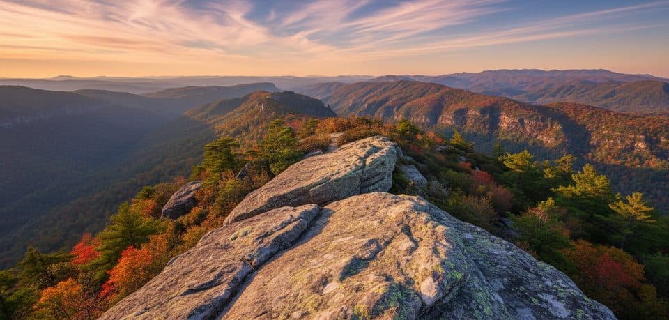
If you want huge payoff for a short effort, this is your move. Table Rock’s rocky, flat-topped summit dishes out sweeping Linville Gorge panoramas in every direction—Hawksbill, Shortoff, Lake James, and wave after wave of Blue Ridge ridgelines. It’s rugged, dramatic, and very North Carolina.

Route and difficulty

This out-and-back is about 2.0 miles total with roughly 600 feet of gain—short, but it earns your breath. Expect a steady, sometimes steep climb on a rocky, boulder-strewn path. Footing matters, especially after rain. Watch for a couple of junctions; keep right at the first major fork to stay on the summit trail. Once on top, the summit is broad and walkable with multiple vantage points. A narrower path to the left leads to a massive boulder with some of the day’s best views.

Scenery and geology

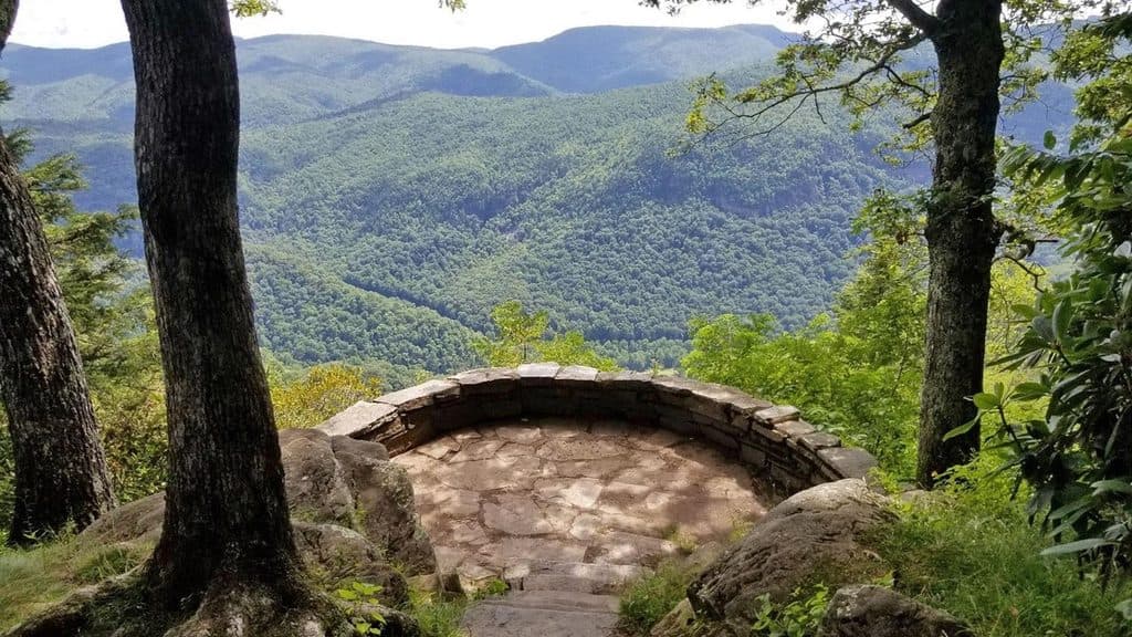
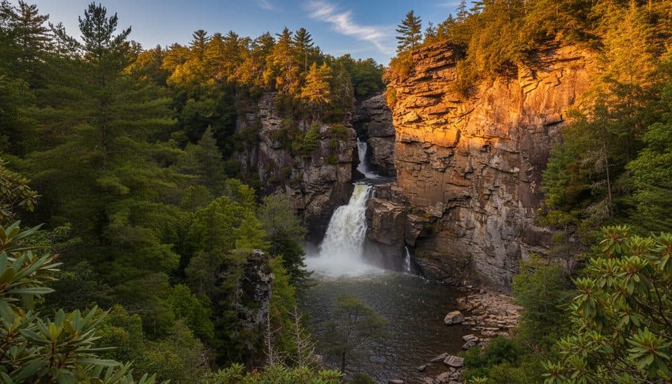
Table Rock’s namesake profile is a standout—a massive, flat-capped rock that feels like a natural viewing platform. Along the way, you’ll pass cliffs and airy overlooks perfect for a long stare or a picnic. Spring and early summer can bring splashes of wildflowers around the rugged, windswept summit terrain. The views are the reason to come: true 360-degree scenery over the gorge, with iconic neighbors like Hawksbill and Shortoff in plain sight.

Logistics and access

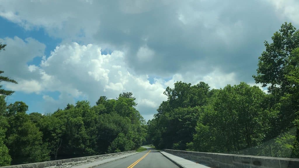
Parking is at the Table Rock lot (picnic tables; limited, free). Reaching it involves several miles of rough, one-lane, unpaved Forest Service road—vehicles with decent clearance recommended. The access road is typically open April–December and can be closed in winter. Note: as of late July 2025, a landslide had the final leg gated, adding a walk from the closure; check current status before you go. There are informal campsites near the trailhead and close to the summit. Day hiking doesn’t require a permit, but overnight camping in Linville Gorge does require a free permit on weekends and holidays May–October.

Best time to hike

Late spring through fall is prime. Spring brings flowers and fresh greens; fall delivers top-tier color and crisp, clear views. Summer can be hot and the summit is exposed—start early or aim for golden-hour light. Sunrise and sunset are spectacular, but the drive out after dark on a rough road is slow; plan accordingly and bring lights. Weekdays see fewer people; arrive early on peak weekends.

Safety and tips

This is cliff country. Keep kids and pups close near drop-offs, especially when wet or icy. Thunderstorms and fog can move in fast—check the forecast, and don’t flirt with lightning on an exposed summit. Wear grippy shoes, bring water, and give yourself time to wander the summit. Want more? From the same parking area, the Mountains-to-Sea Trail heads to the Chimneys, and Hawksbill Mountain is a great nearby add-on for a different angle on the gorge.

Pros

  • Broad, walkable summit lets you sample multiple viewpoints without extra mileage
  • Picnic tables at the trailhead make pre/post-hike fueling easy

Cons

  • Long, rough Forest Service road approach not friendly to low-clearance cars
  • Exposed cliffs and slick rock make bad-weather days risky

Parking

Small, free lot at the Table Rock parking area (picnic tables). Accessed via several miles of rough, one-lane, unpaved FS road; arrive early to get a spot. Seasonal pit toilet may be available. As of late July 2025, a landslide had the final leg gated—expect a walk from the closure and verify current road status.

Caution

Steep, rocky footing and significant cliff exposure; very slippery when wet or icy. Sudden storms and fog are common—avoid the exposed summit in lightning. A few junctions can confuse—keep right at the first major fork. Seasonal road closures and occasional landslides can add a road-walk to the hike.

The Parkwolf tour guide sitting on a phone mounted in a car

Parkwolf Tour Guide

Like a tour guide in your car.

Bring Blue Ridge Parkway trail research into the car, with offline maps and stories that play as you drive.Download Parkwolf on the App Store