Parking
Small gravel/roadside parking at the Hawksbill trailhead on unpaved Forest Service Road 210 (also identified as FR 1264 in trail guides). Limited spaces; no restrooms or water.
Blue Ridge Parkway, NC · VA
Short, steep climb to Linville Gorge’s blockbuster 360° views
Overview
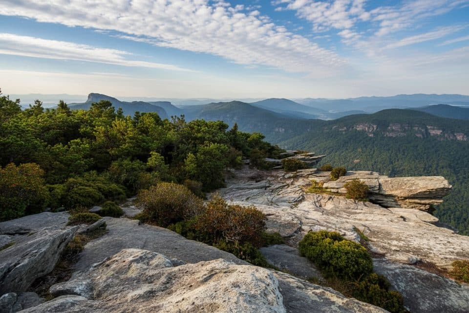
Hawksbill Mountain Trail is a short, steep out-and-back on the Linville Gorge east rim. From the small gravel parking area on unpaved Forest Service Road 210 (also identified as FR 1264 in trail guides), the marked Hawksbill Trail climbs about 0.94 mapped miles through forest to exposed summit rock. The route is rocky and steep near the top, with roots and uneven footing.
The visitor hike is about 1.9 miles round trip and gains roughly 690 feet. It ends at the Hawksbill summit area, where open rock ledges provide broad views into Linville Gorge and toward Table Rock. The stored line follows the physical corridor once; the listed distance is the total out-and-back walk.
Parking is limited roadside/small gravel at the trailhead; the unpaved access road can be rough for low-clearance vehicles. There are no restrooms or water at the trailhead. Check current Forest Service access information before setting out.
The summit is exposed, and ledges have steep drop-offs. Use care on wet or icy rock, stay on the established route, and keep pets under control. The short distance does not make this an easy walk; the sustained climb makes it a strenuous-feeling outing.
Map & elevation
Plan your hike

The highest, rockiest slopes around here are a summer buffet for grizzly bears.
Blue Ridge Parkway Tour Guide
Parkwolf is a GPS audio tour guide for Blue Ridge Parkway. As you drive, it chimes in with what’s ahead: hidden gems, upcoming stops, history, geology, and wildlife, right through your car’s speakers.
See the Blue Ridge Parkway audio tourMore stories near here in the app
“…We knew we wanted to drive the Blue Ridge Parkway. The narration was impeccably timed. The facts and info provided were meaningful. Without it, the trip would not have been near as awesome.”


Wildlife
 1,208 sightingsBlack BearMost seen around 7 AMSighting map
 1,020 sightingsElkMost seen around 7 AMSighting map
 2,257 sightingsWhite-tailed DeerMost seen around 6 PMSighting map
 200 sightingsCoyoteMost seen around 6 PMSighting map
 1,126 sightingsWild TurkeyMost seen around 7 AMSighting map
 255 sightingsRed-tailed HawkMost seen around 11 AMSighting map
Sighting maps show where each species has been reported across Blue Ridge Parkway. Wildlife moves, so no sighting is guaranteed.
Keep exploring
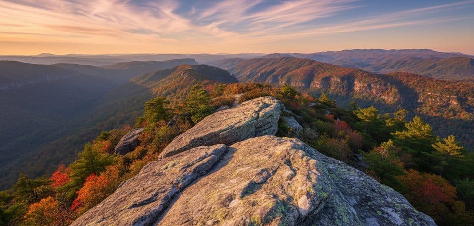 ModerateTable Rock Mountain Trail1.4 mi · 1.5 hr · 2 mi awayShort, steep climb to Linville Gorge’s exposed Table Rock summit
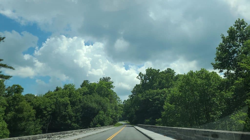 ChallengingLinville Gorge Trail16.6 mi · 9.5 hr · 3.4 mi awayA strenuous point-to-point wilderness traverse from Pine Gap through Linville Gorge to Wolf Pit.
 ModeratePlunge Basin Trail1.8 mi · 1 hr · 3.9 mi awayRugged out-and-back to the Plunge Basin overlook and waterfall viewpoint
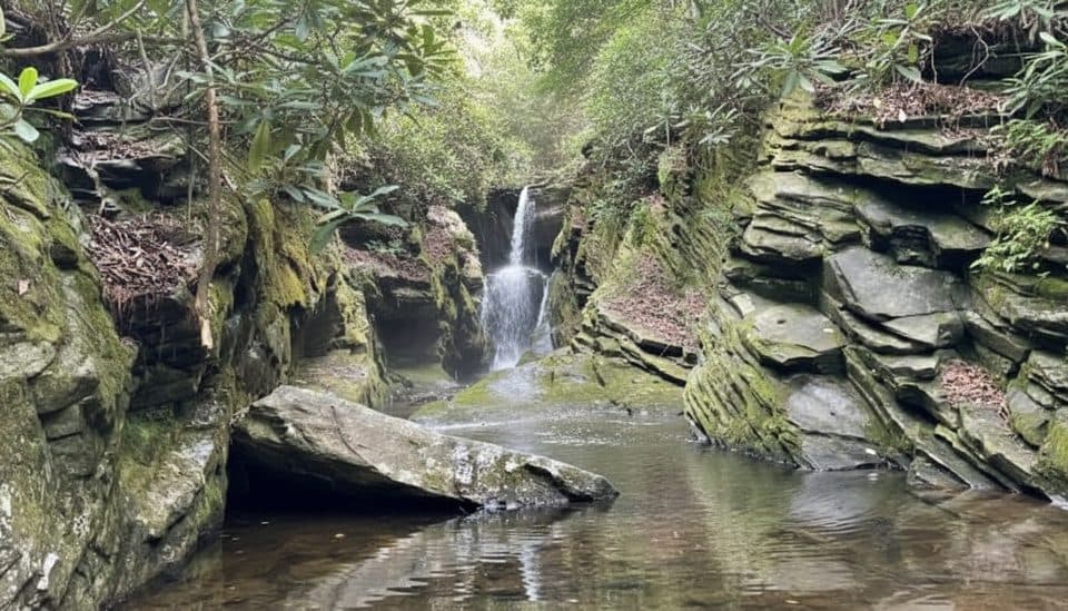 EasyDuggers Creek Falls Trail0.3 mi · 18 min · 3.9 mi awayTiny slot-canyon falls on a 0.3-mile loop by the visitor center
 ModerateLinville Falls Plunge Basin Trail1 mi · 45 min · 3.9 mi awayShort, strenuous drop to Plunge Basin Overlook and views of Linville Falls
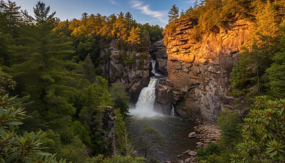 ModerateErwin’s View Trail (Linville Falls)1.6 mi · 1.3 hr · 3.9 mi awayFour big overlooks of Linville Falls on a short, moderate walk.
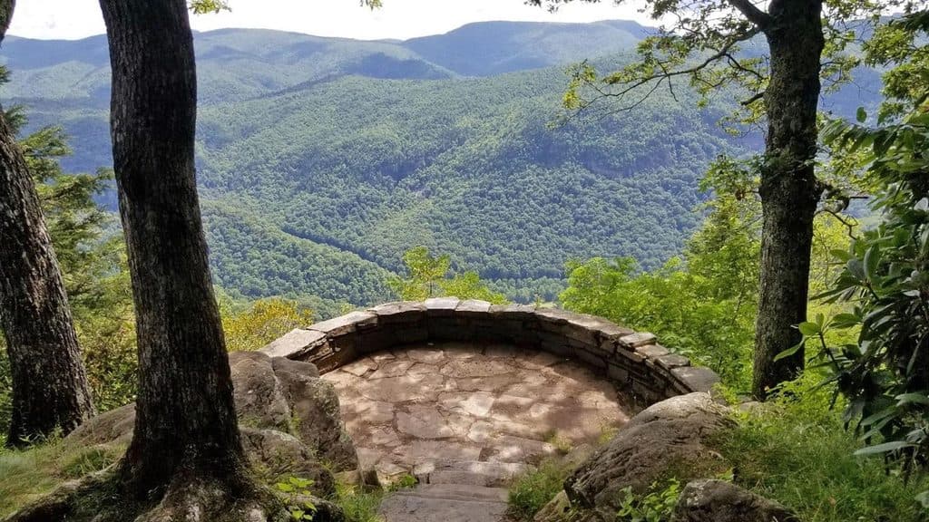 EasyChestoa View Trail0.8 mi · 36 min · 4.3 mi awayEasy lollipop walk to Chestoa View’s stone balcony and Blue Ridge vistas
 EasyFlat Rock Trail0.7 mi · 20 min · 9.5 mi awayShort loop to a broad rock summit with big Grandfather views
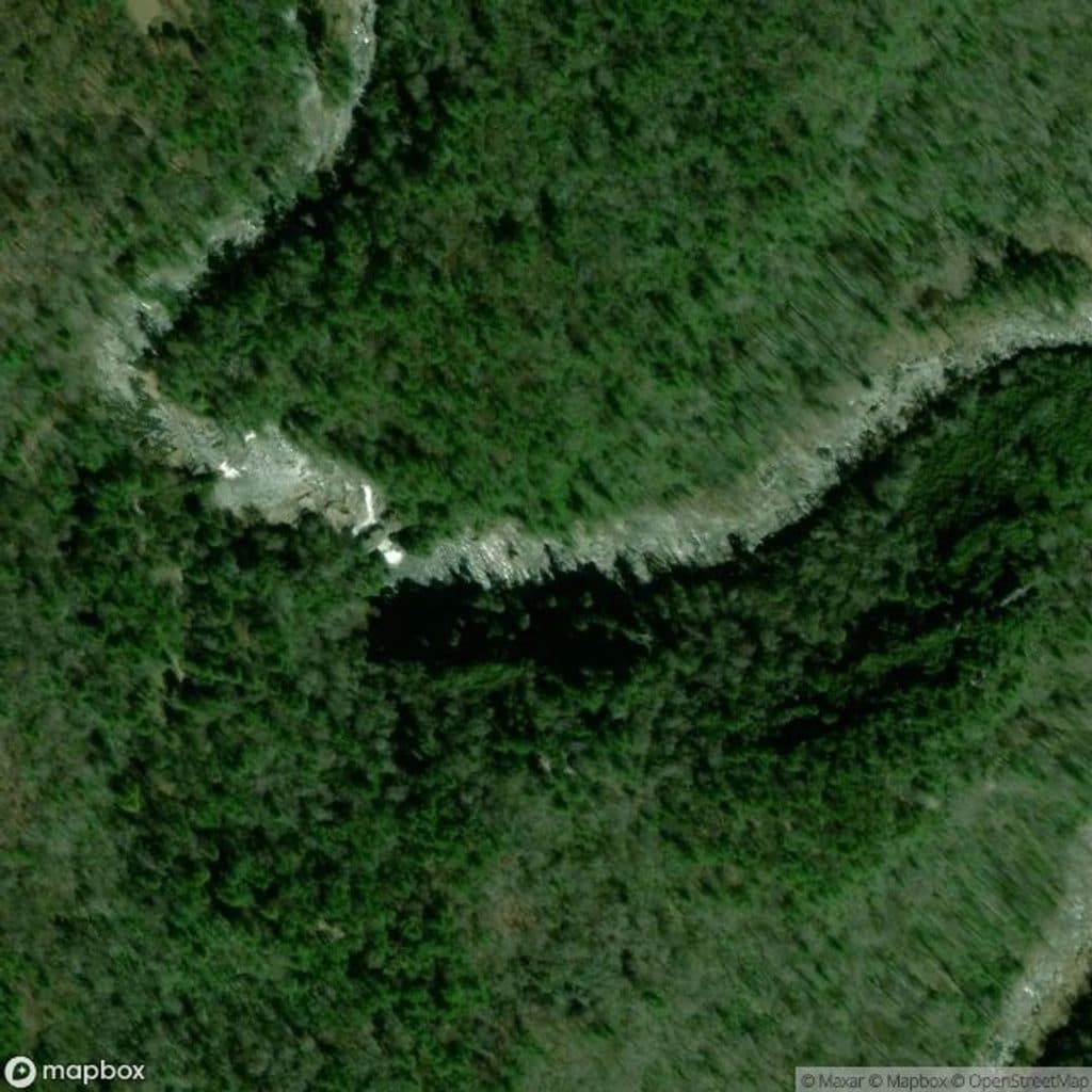 Sight · 3.6 mi awayPlunge Basin OverlookShort hike to Linville Falls’ dramatic plunge-pool viewpoint
 Sight · 3.6 mi awayLinville FallsClassic three-tier waterfall with big views into rugged Linville Gorge
 Sight · 3.7 mi awayUpper Falls OverlookA stone-walled viewpoint over the upper cascades and churning Linville River.
 Sight · 3.7 mi awayUpper Linville FallsIntimate double cascade launching the river into Linville Gorge
 Visitor center · 3.9 mi awayLinville Falls Visitor CenterTrailhead hub for every view of Linville Falls and the Gorge
 Sight · 4 mi awayDuggers Creek FallsTiny slot-canyon cascade steps from the Linville Falls parking lot
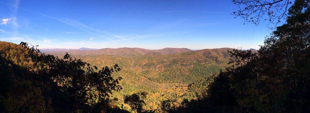 Sight · 4.3 mi awayChestoa View OverlookShort walk to big Linville Gorge views from a stone overlook
 Scenic pullout · 5.1 mi awayBear Den Overlook (MP 323.0)Big Blue Ridge views with a bonus birdsong soundtrack
Parkwolf’s Blue Ridge Parkway ranking

The audio tour guide for the drive, plus offline maps, trails, and wildlife heatmaps for when the signal drops.





