Moderate

Craggy Gardens Trail

Short, view-packed stroll to rhododendron-studded Craggy Flats
Craggy Gardens Trail, Blue Ridge Parkway
Distance2.1 mi
Typical time1.2 hr
DifficultyModerate
PetsAllowed

Why this trail

Craggy Gardens is a high-elevation crowd-pleaser: rhododendron tunnels, breezy meadows, and big Blue Ridge views in a compact package. The hike is about 2.1 miles total as an out-and-back and is moderately steep in spots with some roots and rocks. It’s especially famous in June when Catawba rhododendron explodes in pinks and purples.

Route, distance, and difficulty

Start at the Craggy Gardens Visitor Center (around Milepost 364) and climb through dense rhododendron to reach the historic stone shelter and the open meadows of Craggy Flats. Portions of the route share the Mountains-to-Sea Trail—look for white circle blazes. Several short side paths lead to overlooks. Many hikers turn around at the gardens/shelter for the classic out-and-back. If you continue through the shelter, the path descends to the Craggy Gardens Picnic Area (MP 367.6), effectively connecting the two access points. Expect roughly 2.1 miles total and about 550 feet of elevation gain on the out-and-back.

Scenery and what to look for

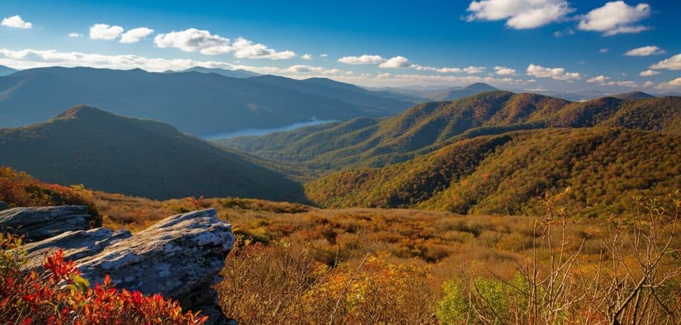
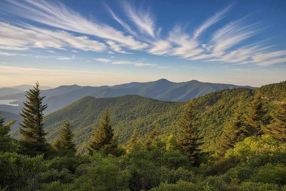
This is rhododendron country. June is peak bloom, but spring through fall brings a steady parade of wildflowers, plus low blueberry and blackberry patches around the grassy bald of Craggy Flats. The forest mix includes gnarled rhododendron, mountain ash, birch, and beech. Views open toward the Black Mountains, nearby Craggy Pinnacle, and the town of Montreat. In late summer, you may find wild blueberries along the bald—pick a few and leave plenty for others and wildlife.

Trail feel and crowds

It’s popular—expect company, especially on fair-weather weekends and during the rhododendron bloom. The tread is natural and generally good, with some rocky/rooty sections. Families often love the meadows near the shelter (great for a picnic and safe exploration), and leashed dogs are welcome.

Tips and best time to go

  • Best time: June for the bloom; late summer for blueberries; fall for color. Summer temps run about 10–20°F cooler than Asheville thanks to the 5,000+ ft elevation, making midday hikes pleasant. For photography and fewer people, go early or late.
  • Weather: High elevation means fast changes—fog, clouds, and sudden chill are common. Pack layers and patience; waiting a few minutes can trade white-out for sweeping views.
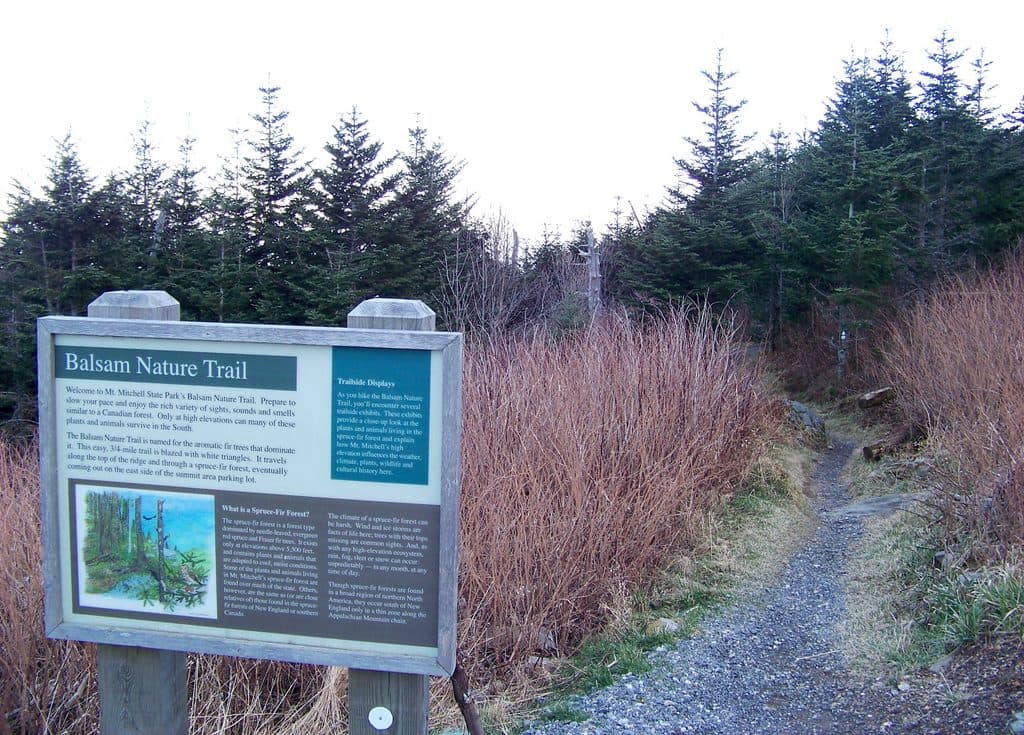
  • Wayfinding: Watch the white circle blazes where the trail overlaps the Mountains-to-Sea Trail and stick to signed main paths—there are tempting social spurs.
  • Facilities: Visitor center and picnic area have seasonal amenities; the trail itself is not wheelchair accessible.

Nearby add-ons

If you’re building a Parkway day, the short-and-spectacular Craggy Pinnacle Trail (separate trail) is close by and delivers 360-degree views. Mount Mitchell sits roughly 10 miles north along the Parkway if you want to keep chasing high-country scenery.

Pros

  • Cooler high-elevation temps make summer midday hiking pleasant
  • Trail overlaps the Mountains-to-Sea Trail with clear white-circle blazes

Cons

  • Peak June bloom can bring heavy crowds and limited solitude
  • Frequent fog can completely erase the views without warning

Parking

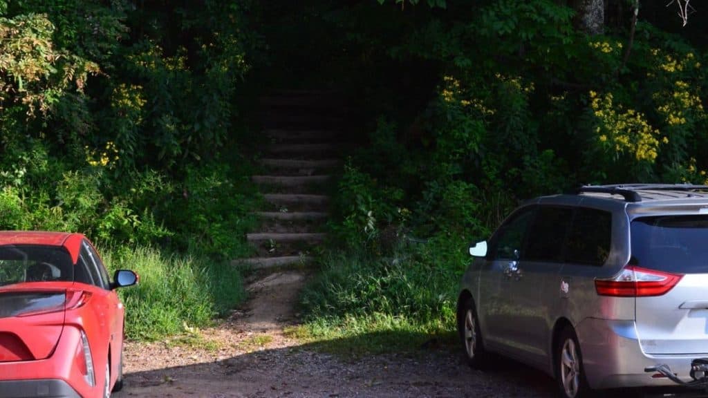
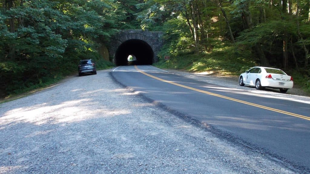
Park at either end: Craggy Gardens Visitor Center (MP 364.4) or Craggy Gardens Picnic Area (MP 367.6) on the Blue Ridge Parkway; both have seasonal facilities.

Caution

High-elevation weather shifts fast—fog, clouds, and sudden cold are common. Natural tread with roots and rocks; not wheelchair accessible. Watch for white-circle MST blazes and avoid unmarked social paths.

The Parkwolf tour guide sitting on a phone mounted in a car

Parkwolf Tour Guide

Like a tour guide in your car.

Bring Blue Ridge Parkway trail research into the car, with offline maps and stories that play as you drive.Download Parkwolf on the App Store