Parking
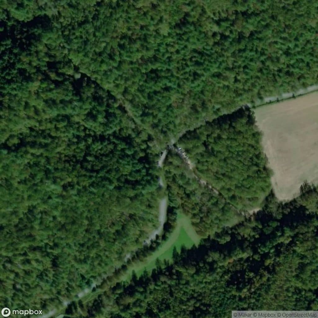
Access the upper end from Doughton Park and the Bluff Mountain Shelter area; the lower end is reached from Grassy Gap Fire Road via Basin Creek Trail. The primitive route itself has no parking or facilities.
Blue Ridge Parkway, NC · VA
A punishing primitive ridge descent from Bluff Mountain Shelter into Basin Cove.
Overview
Bluff Ridge Primitive Trail is a strenuous primitive route from Bluff Mountain Shelter down into Basin Cove. The National Park Service describes it as the shortest but steepest route into Basin Cove; the mapped corridor follows the ridge between the shelter and the Basin Creek area. The trail is 2.7 miles one way, or about 5.5 miles for the out-and-back, and the return climb is as demanding as the descent.
Expect a rugged natural surface, sustained steep grades, and a remote backcountry feel. Footing can be rough or slick when wet, and the route has limited services and no dependable water along the trail. Carry water, navigation, and weather-appropriate layers. The upper end is at Bluff Mountain Shelter in Doughton Park; the lower end is reached from Basin Cove via the Basin Creek Trail and Grassy Gap Fire Road.
This route is best for experienced hikers who want a hard, direct descent into Basin Cove and are prepared to retrace the same corridor on the way back. Check current Blue Ridge Parkway access information before setting out.
Map & elevation
Plan your hike

The highest, rockiest slopes around here are a summer buffet for grizzly bears.
Blue Ridge Parkway Tour Guide
Parkwolf is a GPS audio tour guide for Blue Ridge Parkway. As you drive, it chimes in with what’s ahead: hidden gems, upcoming stops, history, geology, and wildlife, right through your car’s speakers.
See the Blue Ridge Parkway audio tourRecorded for this area
Alligator Back Overlook's Jagged Ridge“The pullout ahead is for Alligator Back Overlook, which gets its name from the jagged, toothy ridge you'll see in the distance.”
Plays on the road 0.3 mi from the trailhead in the Parkwolf Blue Ridge Parkway Tour Guide.
More stories near here in the app
“…We knew we wanted to drive the Blue Ridge Parkway. The narration was impeccably timed. The facts and info provided were meaningful. Without it, the trip would not have been near as awesome.”


Wildlife
 1,208 sightingsBlack BearMost seen around 7 AMSighting map
 1,020 sightingsElkMost seen around 7 AMSighting map
 2,257 sightingsWhite-tailed DeerMost seen around 6 PMSighting map
 200 sightingsCoyoteMost seen around 6 PMSighting map
 1,126 sightingsWild TurkeyMost seen around 7 AMSighting map
 255 sightingsRed-tailed HawkMost seen around 11 AMSighting map
Sighting maps show where each species has been reported across Blue Ridge Parkway. Wildlife moves, so no sighting is guaranteed.
Keep exploring
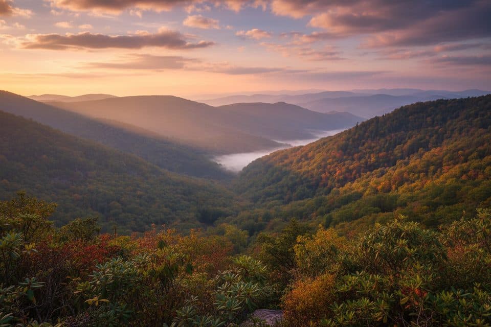 EasyWildcat Rocks Trail0.2 mi · 30 min · 1 mi awayA short walk to sweeping views from Wildcat Rocks
 ModerateFodder Stack Trail1.2 mi · 1 hr · 1 mi awayA rocky forest lollipop with a steep opening, terminal loop, and spring wildflowers.
 ModerateGrassy Gap Fire Road6.5 mi · 3.5 hr · 1.3 mi awayWide, quiet descent with access to waterfalls and a rustic camp
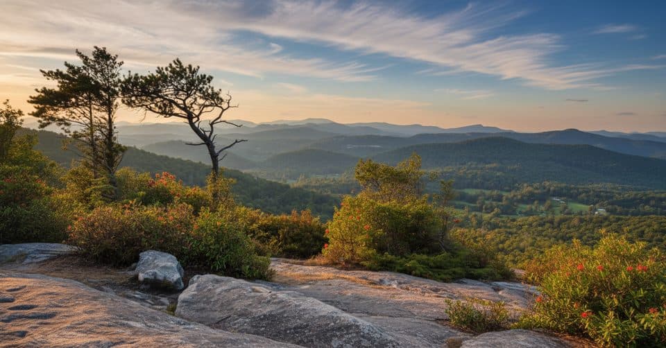 ChallengingFlat Rock Ridge Trail5 mi · 4 hr · 2.1 mi awayA five-mile ridge descent from Basin Cove to the creek
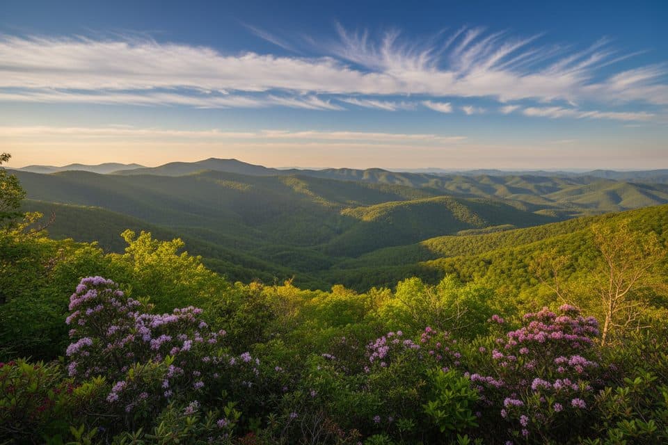 ModerateBluff Mountain Trail7.5 mi · 4.5 hr · 2.2 mi awayA long ridge traverse with meadows, views, and shuttle logistics
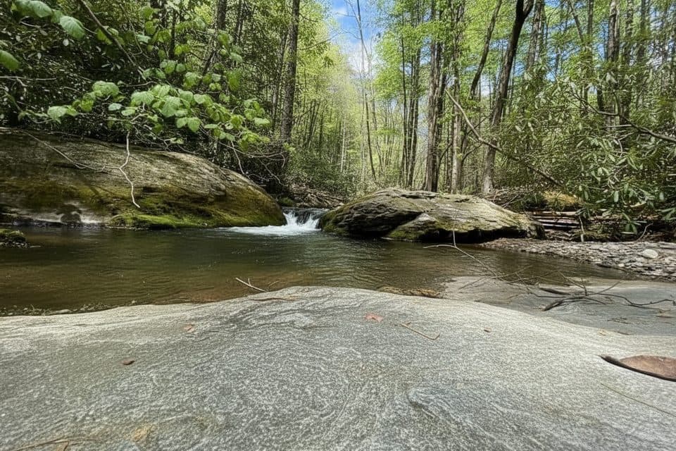 ChallengingBasin Creek Trail9.4 mi · 5.5 hr · 3.8 mi awayA remote creek walk to a historic cabin, with crossings to remember
 EasyLittle Glade Mill Pond Trail0.3 mi · 10 min · 8.7 mi awayA quiet, quarter-mile loop around a historic mill pond.
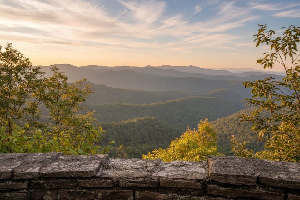 EasyJumpinoff Rock Trail1 mi · 30 min · 12.1 mi awayShort, easy woods walk to a quiet, panoramic Blue Ridge overlook.
 Scenic pullout · 0.3 mi awayAlligator Back OverlookQuirky ridge view with a short stroll to a photo deck
 Picnic area · 0.3 mi awayBluffs Picnic AreaShady tables, big views, and easy trails in Doughton Park
 Lodging · 0.9 mi awayThe Bluffs LodgeRustic 1949 lodge amid Doughton Park’s trails and views
 Sight · 0.9 mi awayWildcat Rocks OverlookClassic Basin Cove panorama from a historic 1939 Doughton Park overlook
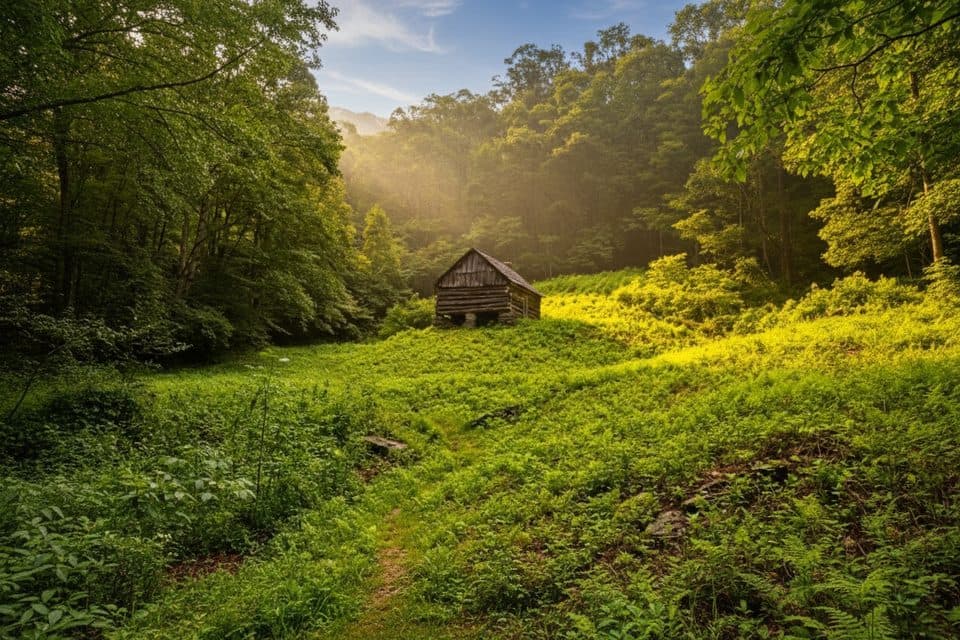 Sight · 1 mi awayCaudill CabinRemote pioneer cabin deep in Basin Cove via creek-crossing hike
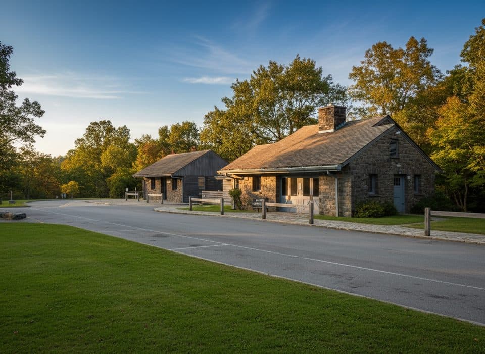 Visitor center · 1.1 mi awayDoughton Park Visitor CenterTrail hub with meadows, history, and The Bluffs next door
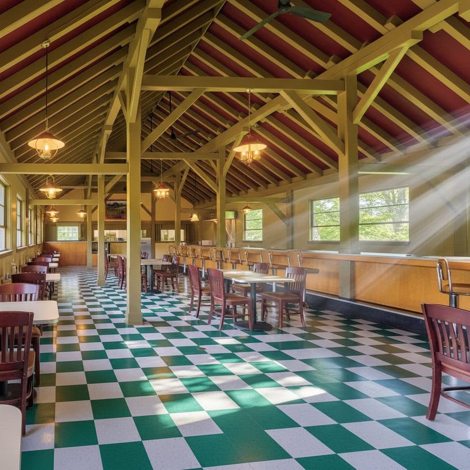 Restaurant · 1.1 mi awayThe Bluffs RestaurantHistoric Parkway diner for hearty Southern fare near Doughton Park
 Sight · 1.3 mi awayDoughton ParkVast meadows, historic cabins, and long trails in one stop
Parkwolf’s Blue Ridge Parkway ranking

The audio tour guide for the drive, plus offline maps, trails, and wildlife heatmaps for when the signal drops.





