Parking
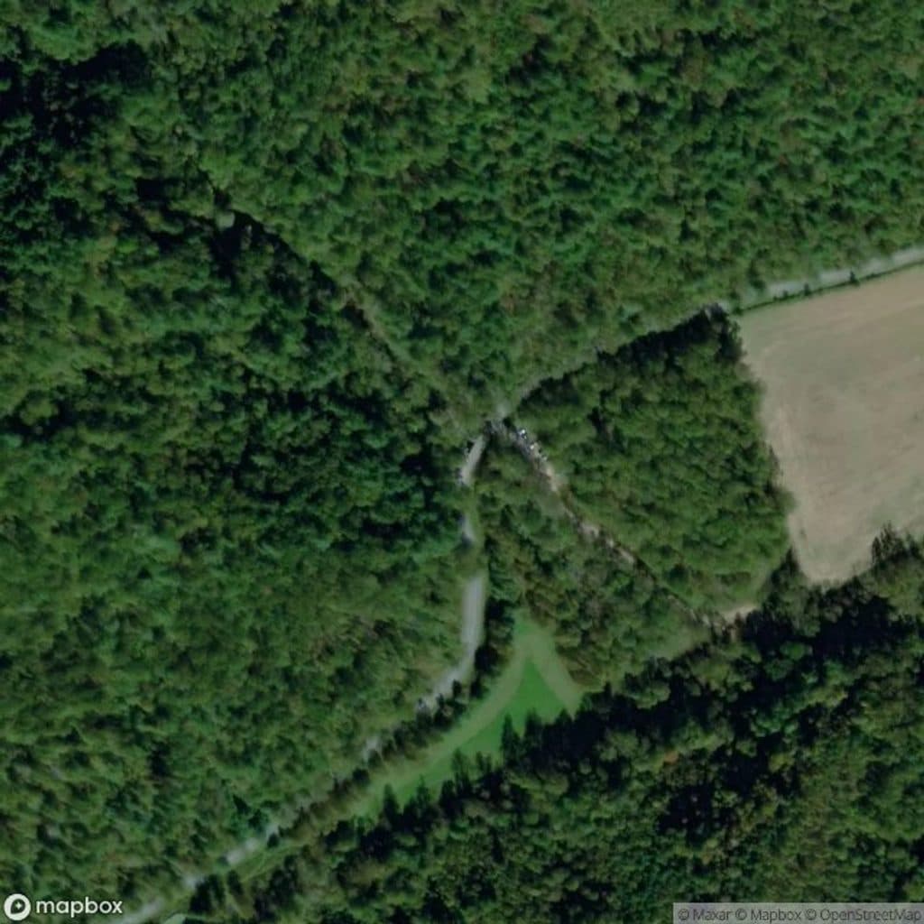
Park at Basin Cove Overlook on the Blue Ridge Parkway, around Milepost 244.7; the trail begins from the overlook meadow.
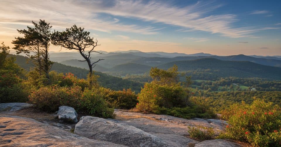
Blue Ridge Parkway, NC · VA
A five-mile ridge descent from Basin Cove to the creek
Overview
Flat Rock Ridge Trail is a 5-mile point-to-point route from Basin Cove Overlook to Basin Cove Creek, and it suits hikers looking for a long, quiet walk through Doughton Park. Allow about 4 hours for the one-way hike. Without a shuttle, plan on a 10-mile day and the full elevation change twice.
 Parkwolf’s verdictIs this the hike for you?
Map & elevation
Plan your hike

The highest, rockiest slopes around here are a summer buffet for grizzly bears.
Blue Ridge Parkway Tour Guide
Parkwolf is a GPS audio tour guide for Blue Ridge Parkway. As you drive, it chimes in with what’s ahead: hidden gems, upcoming stops, history, geology, and wildlife, right through your car’s speakers.
See the Blue Ridge Parkway audio tourRecorded for this area
Doughton Park: Views and Trailheads for Basin Cove“You're approaching a pair of overlooks focused on Basin Cove. The Doughton Park Overlook offers that classic, wide-open view into the heart of the cove, a great spot for a quick photo.”
Plays near this trailhead in the Parkwolf Blue Ridge Parkway Tour Guide.
More stories near here in the app
“…We knew we wanted to drive the Blue Ridge Parkway. The narration was impeccably timed. The facts and info provided were meaningful. Without it, the trip would not have been near as awesome.”


Trail guide
Start in the open meadow at Basin Cove Overlook, then follow the ridge into mixed forest before finishing beside Basin Cove Creek near Grassy Gap Fire Road. The scenery changes steadily from broad mountain views to cooler, damper creekside woods. I’d keep this one for a clear day when you can appreciate the open start and the long descent.
Most of the route is easy to moderate underfoot, but a short steep section, rocky ground, roots, and more than 2,000 feet of elevation change make it a serious outing. Fog can make the ridge and junctions harder to read, so carry a map or GPS even though the trail is generally signed.
Park at Basin Cove Overlook on the Blue Ridge Parkway, around Milepost 244.7. The lower end is alongside Basin Cove Creek and Grassy Gap Fire Road, so arrange a shuttle or turn around with enough energy for the climb back. There’s no potable water on the route. Carry what you need, keep pets leashed, and use only designated Basin Cove backcountry sites with the required permit. At the overlook, include a little of the meadow and the descending line in photos so the route’s scale and change in elevation come through.
Wildlife
 1,208 sightingsBlack BearMost seen around 7 AMSighting map
 1,020 sightingsElkMost seen around 7 AMSighting map
 2,257 sightingsWhite-tailed DeerMost seen around 6 PMSighting map
 200 sightingsCoyoteMost seen around 6 PMSighting map
 1,126 sightingsWild TurkeyMost seen around 7 AMSighting map
 255 sightingsRed-tailed HawkMost seen around 11 AMSighting map
Sighting maps show where each species has been reported across Blue Ridge Parkway. Wildlife moves, so no sighting is guaranteed.
Keep exploring
 ModerateGrassy Gap Fire Road6.5 mi · 3.5 hr · 0.9 mi awayWide, quiet descent with access to waterfalls and a rustic camp
 ChallengingBluff Ridge Primitive Trail5.5 mi · 5 hr · 2.1 mi awayA punishing primitive ridge descent from Bluff Mountain Shelter into Basin Cove.
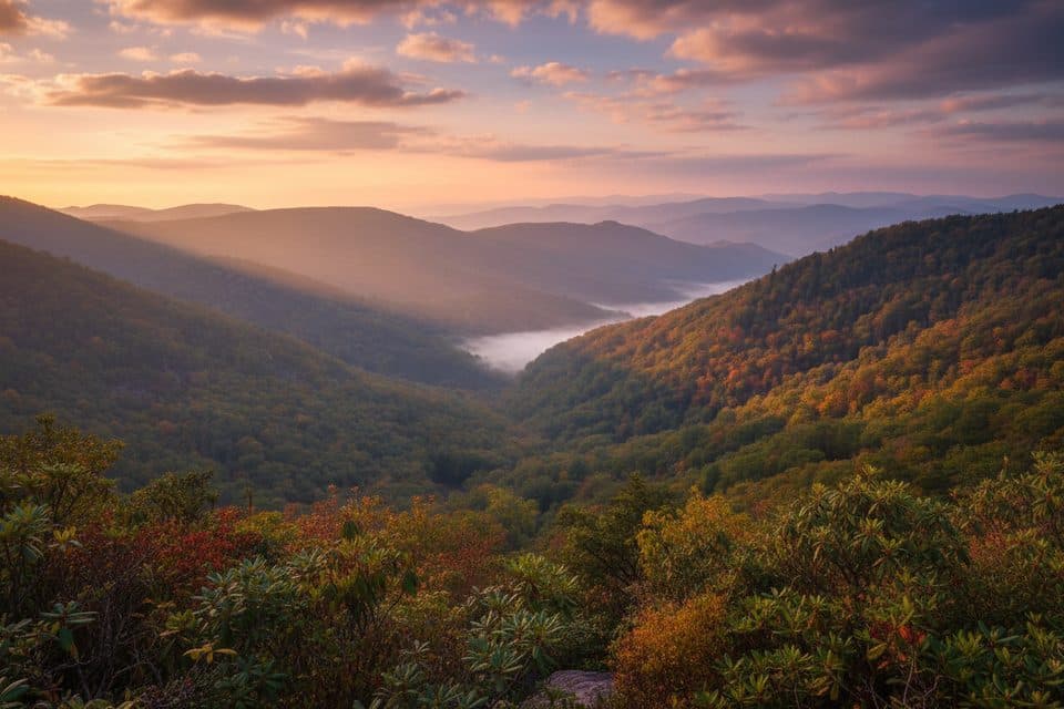 EasyWildcat Rocks Trail0.2 mi · 30 min · 3.1 mi awayA short walk to sweeping views from Wildcat Rocks
 ModerateFodder Stack Trail1.2 mi · 1 hr · 3.1 mi awayA rocky forest lollipop with a steep opening, terminal loop, and spring wildflowers.
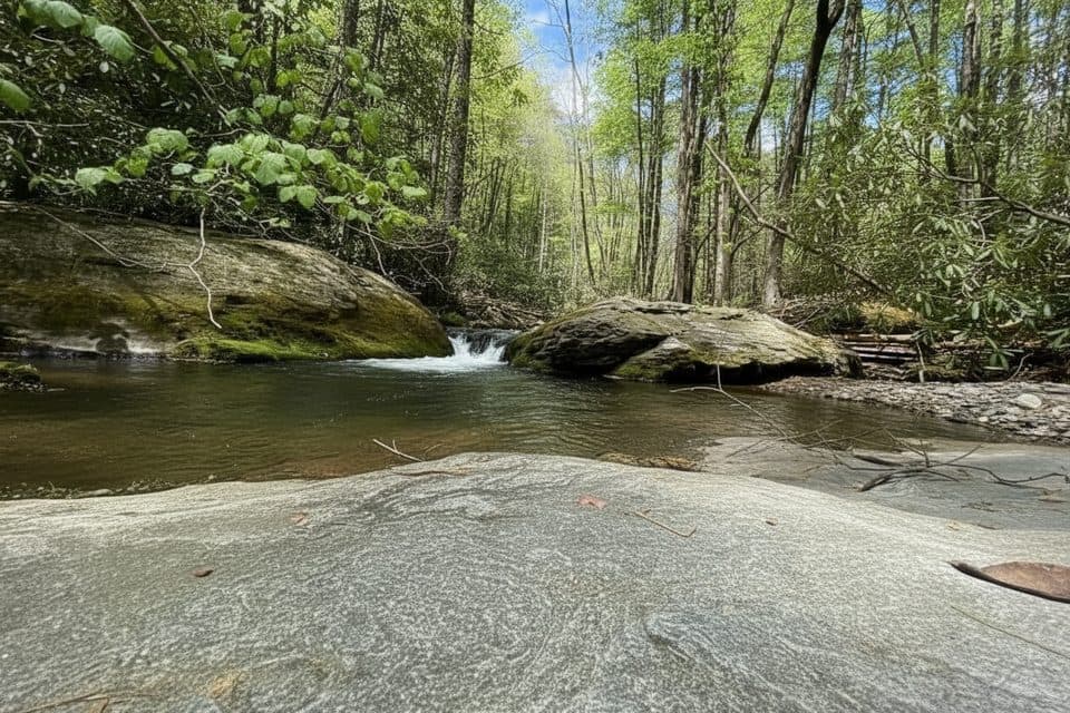 ChallengingBasin Creek Trail9.4 mi · 5.5 hr · 3.3 mi awayA remote creek walk to a historic cabin, with crossings to remember
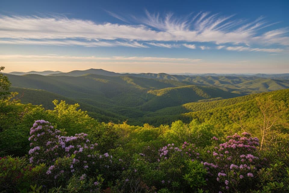 ModerateBluff Mountain Trail7.5 mi · 4.5 hr · 3.6 mi awayA long ridge traverse with meadows, views, and shuttle logistics
 EasyLittle Glade Mill Pond Trail0.3 mi · 10 min · 10 mi awayA quiet, quarter-mile loop around a historic mill pond.
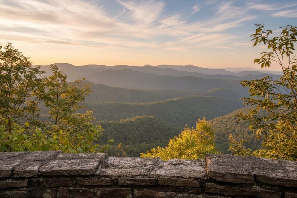 EasyJumpinoff Rock Trail1 mi · 30 min · 10.4 mi awayShort, easy woods walk to a quiet, panoramic Blue Ridge overlook.
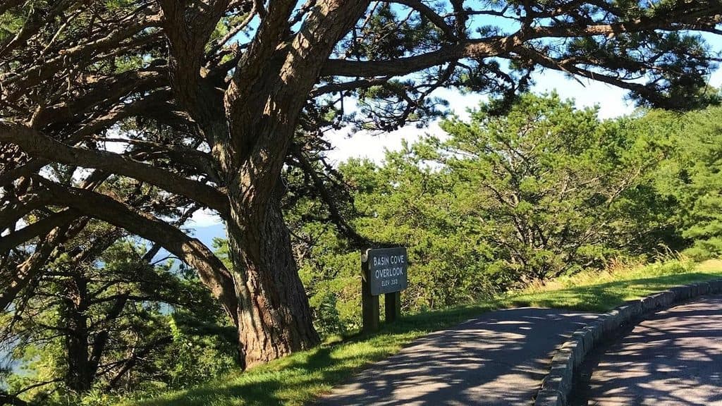 Scenic pullout · At the trailheadBasin Cove OverlookTrail hub with peekaboo views into historic Basin Cove
 Sight · 1.6 mi awayDoughton ParkVast meadows, historic cabins, and long trails in one stop
 Scenic pullout · 2.2 mi awayAlligator Back OverlookQuirky ridge view with a short stroll to a photo deck
 Picnic area · 2.4 mi awayBluffs Picnic AreaShady tables, big views, and easy trails in Doughton Park
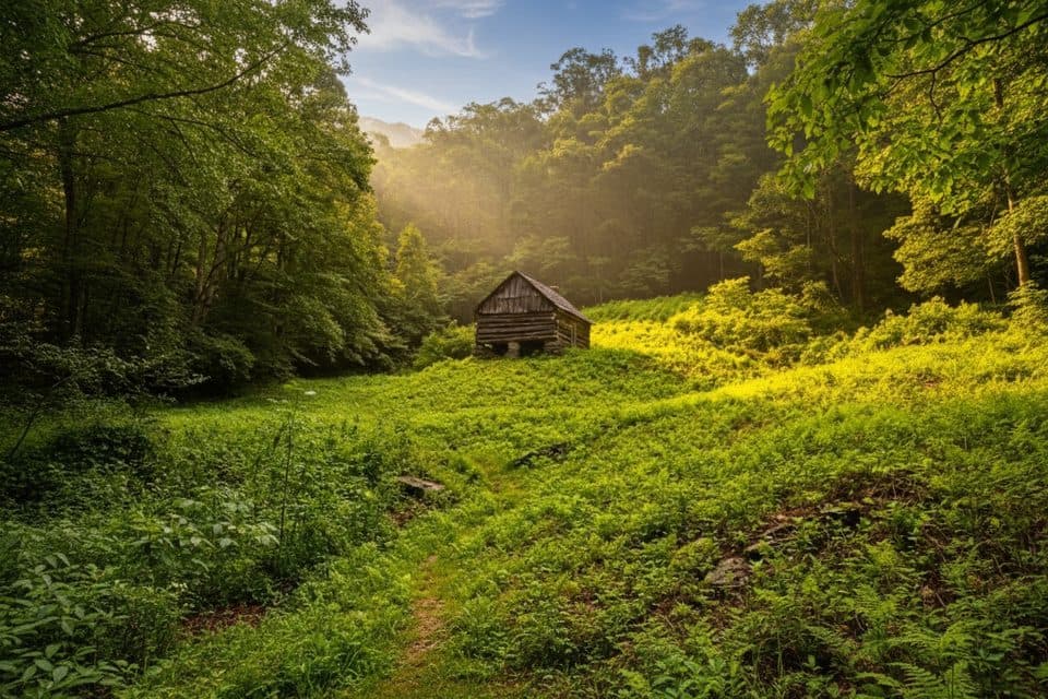 Sight · 3 mi awayCaudill CabinRemote pioneer cabin deep in Basin Cove via creek-crossing hike
 Lodging · 3 mi awayThe Bluffs LodgeRustic 1949 lodge amid Doughton Park’s trails and views
 Sight · 3 mi awayWildcat Rocks OverlookClassic Basin Cove panorama from a historic 1939 Doughton Park overlook
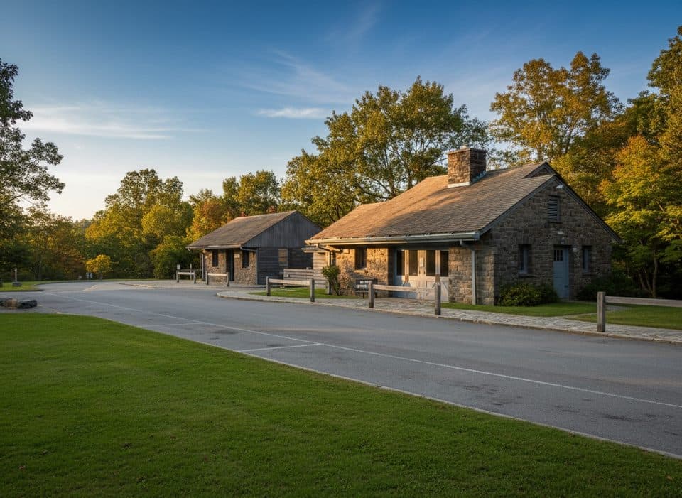 Visitor center · 3.2 mi awayDoughton Park Visitor CenterTrail hub with meadows, history, and The Bluffs next door
Parkwolf’s Blue Ridge Parkway ranking
The audio tour guide for the drive, plus offline maps, trails, and wildlife heatmaps for when the signal drops.





