Parking
Use the gravel parking area at the Long Bottom Road and Grassy Gap Fire Road junction. Follow the gated Grassy Gap Fire Road for about 1.7 miles to the Basin Creek Trail junction; do not use the cabin as the trailhead.
Blue Ridge Parkway, NC · VA
A remote creek walk to a historic cabin, with crossings to remember
Overview
This is a 9.4-mile out-and-back from the Long Bottom Road parking area to Caudill Cabin, including the roughly 1.7-mile approach on Grassy Gap Fire Road and about 3.0 miles on Basin Creek Trail. Allow about 5.5 hours of hiking, plus time for stops. I'd choose it when you want a quiet, water-heavy day and you're comfortable with a primitive route.
 Parkwolf’s verdictIs this the hike for you?
Map & elevation
Plan your hike

The highest, rockiest slopes around here are a summer buffet for grizzly bears.
Blue Ridge Parkway Tour Guide
Parkwolf is a GPS audio tour guide for Blue Ridge Parkway. As you drive, it chimes in with what’s ahead: hidden gems, upcoming stops, history, geology, and wildlife, right through your car’s speakers.
See the Blue Ridge Parkway audio tourMore stories near here in the app
“…We knew we wanted to drive the Blue Ridge Parkway. The narration was impeccably timed. The facts and info provided were meaningful. Without it, the trip would not have been near as awesome.”


Trail guide
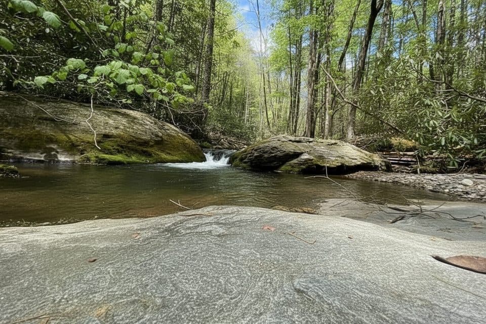
The route climbs through a shaded gorge, past riffles, cascades, old homestead traces, and the Basin Cove Campground area before reaching the century-old Caudill Cabin. The cabin is the main payoff, but the walk earns its distance with a steady creek soundtrack and a strong sense of place.
Expect dozens of unbridged creek crossings, slick rocks, rough ground, and limited blazing away from crossings. Water can rise quickly after heavy rain or snowmelt. Dogs must stay leashed, and repeated fords may not suit every dog. Day hiking requires no permit; overnight backcountry camping requires a permit.
Park in the gravel lot at Long Bottom Road and follow the gated Grassy Gap Fire Road to the Basin Creek junction. Bring a map or GPS, footwear that can handle wet crossings, and enough time to turn around before dark. At the cabin, include the surrounding clearing and a little of the approach in your photo to show how isolated the structure feels.
Wildlife
 1,208 sightingsBlack BearMost seen around 7 AMSighting map
 1,020 sightingsElkMost seen around 7 AMSighting map
 2,257 sightingsWhite-tailed DeerMost seen around 6 PMSighting map
 200 sightingsCoyoteMost seen around 6 PMSighting map
 1,126 sightingsWild TurkeyMost seen around 7 AMSighting map
 255 sightingsRed-tailed HawkMost seen around 11 AMSighting map
Sighting maps show where each species has been reported across Blue Ridge Parkway. Wildlife moves, so no sighting is guaranteed.
Keep exploring
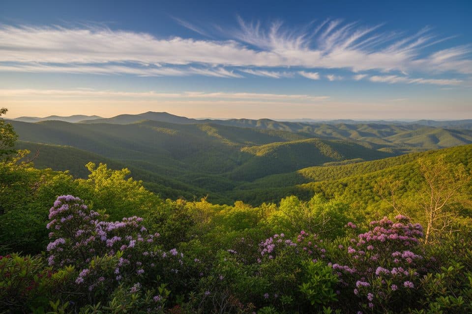 ModerateBluff Mountain Trail7.5 mi · 4.5 hr · 3 mi awayA long ridge traverse with meadows, views, and shuttle logistics
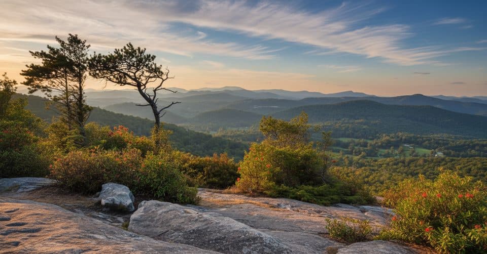 ChallengingFlat Rock Ridge Trail5 mi · 4 hr · 3.3 mi awayA five-mile ridge descent from Basin Cove to the creek
 ModerateGrassy Gap Fire Road6.5 mi · 3.5 hr · 3.6 mi awayWide, quiet descent with access to waterfalls and a rustic camp
 ChallengingBluff Ridge Primitive Trail5.5 mi · 5 hr · 3.8 mi awayA punishing primitive ridge descent from Bluff Mountain Shelter into Basin Cove.
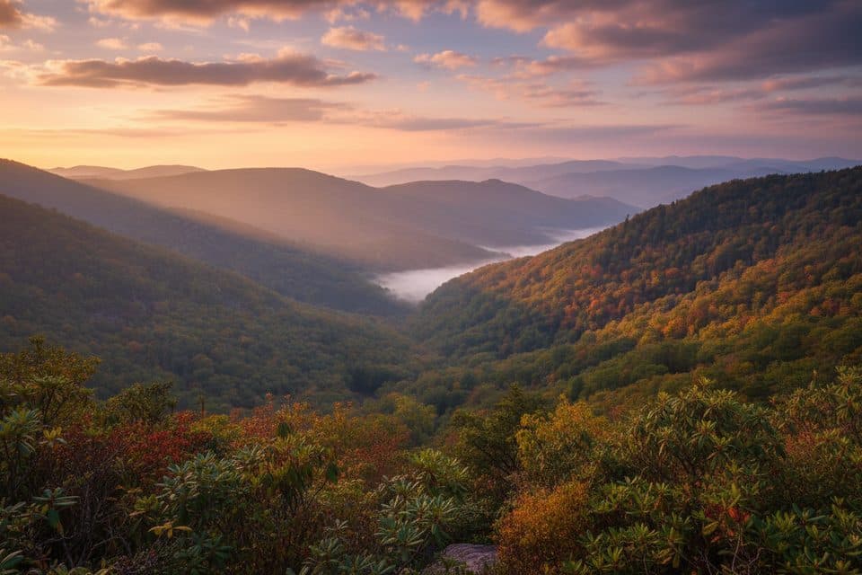 EasyWildcat Rocks Trail0.2 mi · 30 min · 4.2 mi awayA short walk to sweeping views from Wildcat Rocks
 ModerateFodder Stack Trail1.2 mi · 1 hr · 4.2 mi awayA rocky forest lollipop with a steep opening, terminal loop, and spring wildflowers.
 EasyLittle Glade Mill Pond Trail0.3 mi · 10 min · 7.8 mi awayA quiet, quarter-mile loop around a historic mill pond.
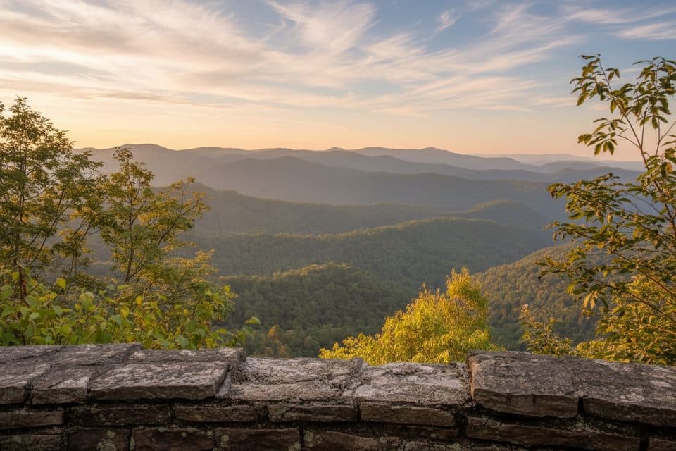 EasyJumpinoff Rock Trail1 mi · 30 min · 12.9 mi awayShort, easy woods walk to a quiet, panoramic Blue Ridge overlook.
 Sight · 2.5 mi awayDoughton ParkVast meadows, historic cabins, and long trails in one stop
 Sight · 3 mi awayBrinegar CabinPreserved mountain homestead with demos and trailheads at MP 238.5
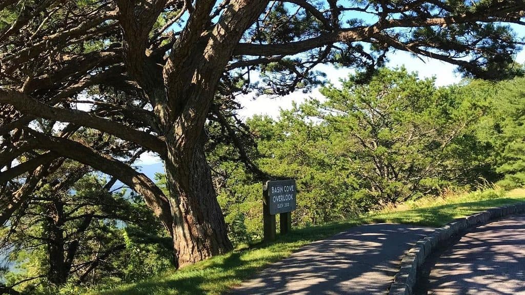 Scenic pullout · 3.3 mi awayBasin Cove OverlookTrail hub with peekaboo views into historic Basin Cove
 Campground · 3.8 mi awayDoughton Park CampgroundRustic Parkway basecamp with trails, meadows, and history steps away
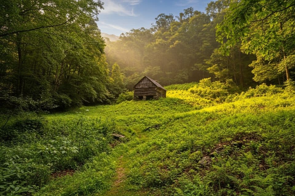 Sight · 3.8 mi awayCaudill CabinRemote pioneer cabin deep in Basin Cove via creek-crossing hike
 Picnic area · 4 mi awayBluffs Picnic AreaShady tables, big views, and easy trails in Doughton Park
 Scenic pullout · 4 mi awayAir Bellows OverlookWindy ridge overlook with farm-filled valley and endless views
 Scenic pullout · 4 mi awayAlligator Back OverlookQuirky ridge view with a short stroll to a photo deck
Parkwolf’s Blue Ridge Parkway ranking
The audio tour guide for the drive, plus offline maps, trails, and wildlife heatmaps for when the signal drops.





