Doughton Park in Blue Ridge Parkway

Sight · Blue Ridge Parkway

Doughton Park

Vast meadows, historic cabins, and long trails in one stop

Photo: Wikimedia Commons
Type
Sight
Nearest trail
1.3 mi
Audio stories
6 nearby
  • Trailhead
  • Restrooms
  • Parking
  • Scenic viewpoint
  • #23 of 188 sights

Hear the audio tour

Grassy Gap Fire Road: A Quiet Downhill Hike

Overview

About Doughton Park

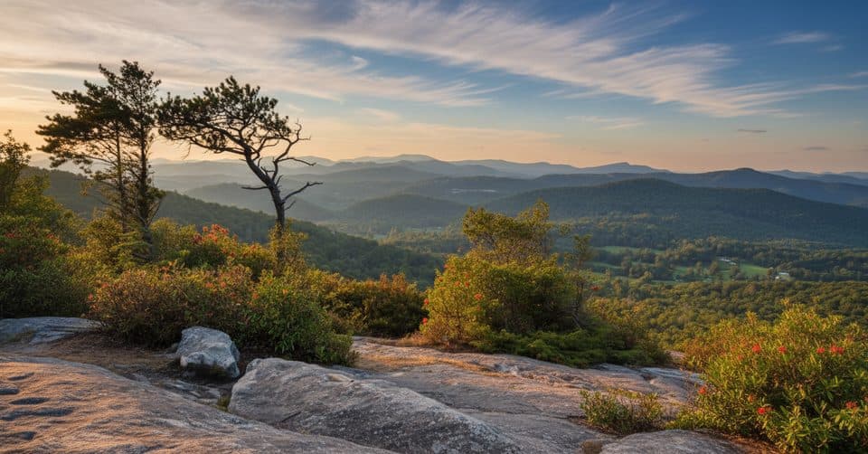
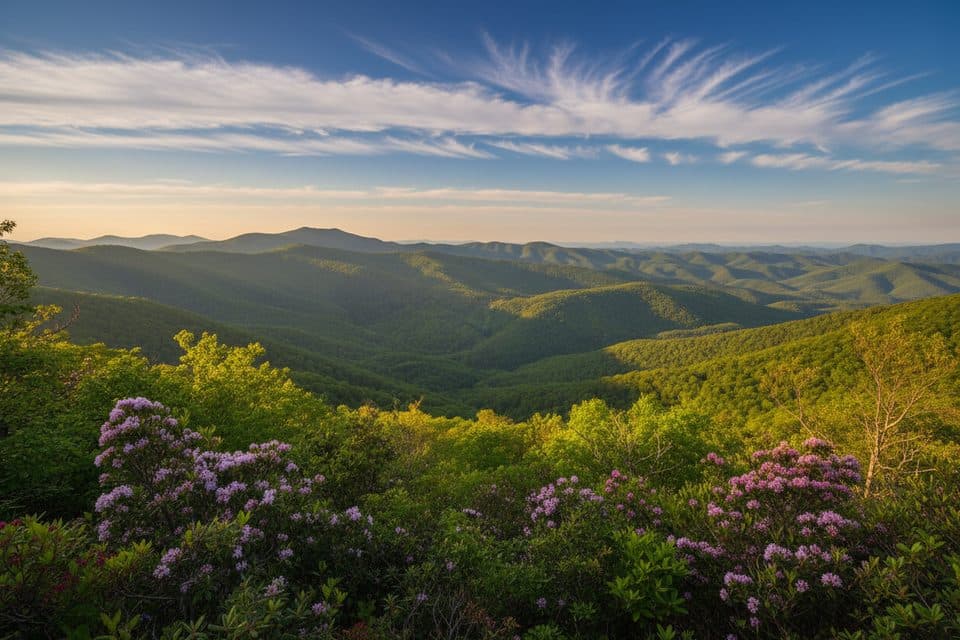
Stretching from roughly milepost 238.5 to 244.7, Doughton Park is the Parkway’s largest recreation area. Think rolling highland meadows, long ridge walks, and a big web of trails that stay quieter than the marquee spots up the road. It’s a choose-your-own-adventure kind of place: hike all day, dive into mountain history, or simply picnic with sweeping views.

Why stop

  • 30+ miles of scenic trails through meadows, streams, and ridges
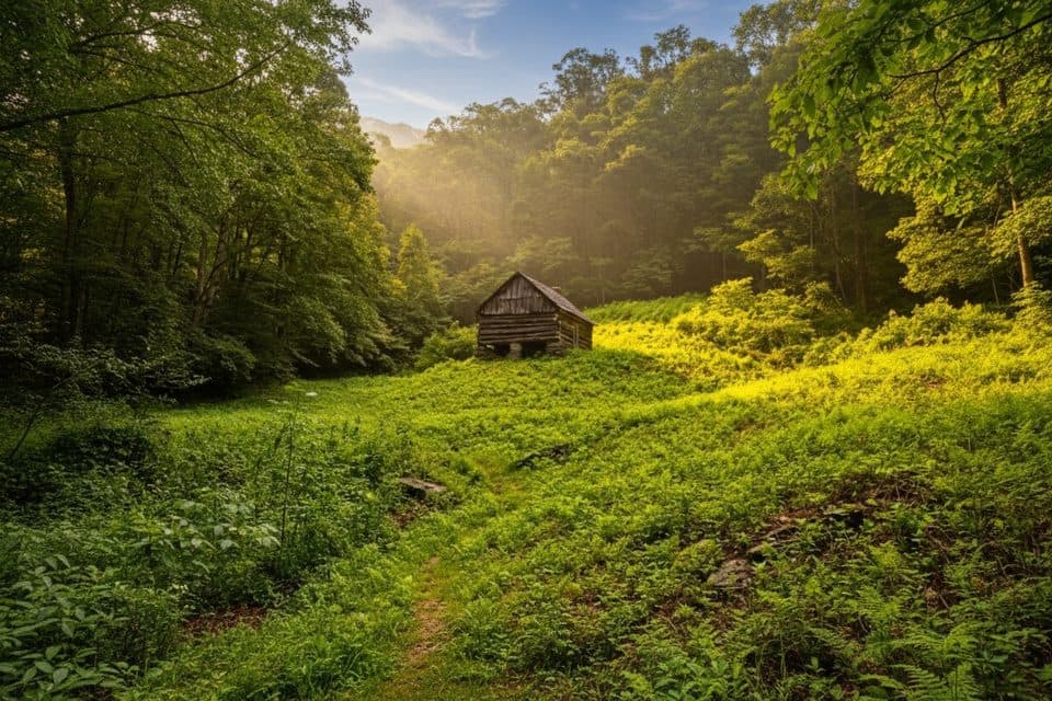
  • Historic homesteads like Brinegar Cabin and remote Caudill Cabin
  • On-site dining at The Bluffs plus a big picnic area and campground

Heads up

  • Some hikes require many ankle-to-knee-deep stream crossings
  • Campground has no showers
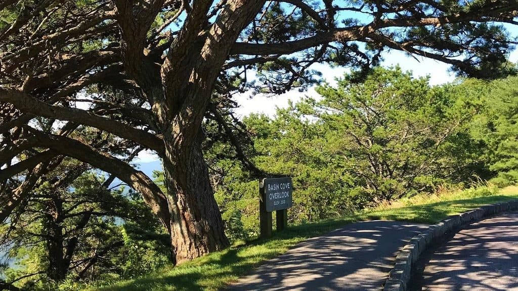
History meets scenery: Brinegar Cabin preserves late-1800s mountain farm life (with seasonal demonstrations), while the remote Caudill Cabin in Basin Cove is a haunting survivor of the 1916 flood.
Parkwolf’s verdictWhy it’s special

Map

Where it is

Loading the Blue Ridge Parkway map
Full map
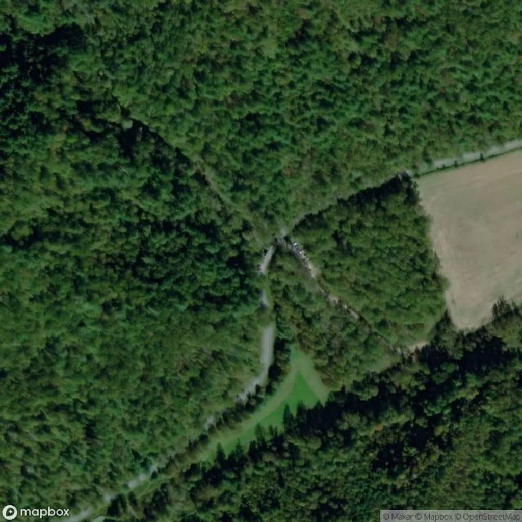
SightDoughton Park36.40156, -81.17475
Keep this map with you offline in the Parkwolf app

Local know-how

Tips for visiting Doughton Park

  1. Wear quick-drying shoes or sandals—stream crossings are common after rain.

  2. If you’re aiming for Caudill Cabin via Basin Creek, start early and plan a full day.

  3. Grab lunch at The Bluffs, but check seasonal hours before you go.

  4. Download maps in advance; cell service is spotty across the area.

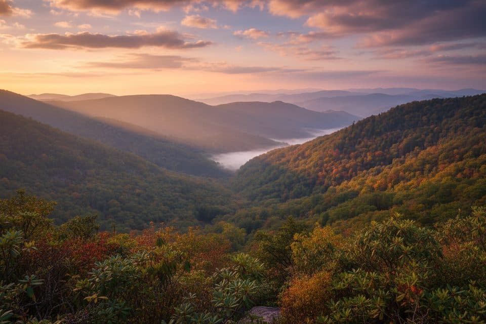
  5. For the widest views, target the Bluff Mountain area near sunrise or sunset.

Plan your stop

Before you go

Best time to visit

  • Seasons: Spring/summer for wildflowers and flowing creeks; fall for leaf color. After heavy rain, expect higher creek levels and muddier trails.
  • Time of day: Early morning and late afternoon bring softer light on the meadows and better chances for wildlife.
  • Crowds: This area generally stays calmer than the Parkway’s biggest names; weekdays are the quietest.

Facilities and logistics

Doughton Park is set up for spending the day (or the night). There’s a large seasonal campground with tent and RV sites, drinking water, flush toilets, and a dump station—but no showers. The picnic area has around 56 sites, many with grills, plus restrooms. A visitor center, trail kiosks, and drinking water are noted, and The Bluffs Restaurant sits right along the Parkway. Cell service can be spotty—plan ahead.

2 active Blue Ridge Parkway alerts

  • ClosureNorth Carolina Helene-related closuresAvoid the closed Parkway section from MP 344.2–355.3; recreation of any kind is prohibited there.Official details
  • ClosureVirginia Parkway closures and detourFollow the signed detour around the closed James River Bridge and avoid the closed Roanoke Mountain Loop. - James River Bridge (MP 63.5–63.Official details
Blue Ridge Parkway alerts
A park ranger sits on a dash-mounted phone, talking, as Parkwolf’s Tour Guide plays “Army Cutworm Moths: A Grizzly Bear Buffet” on Grand Loop Road below Dunraven Pass in Yellowstone
Parkwolf Tour GuideThe highest, rockiest slopes around here are a summer buffet for grizzly bears.

Blue Ridge Parkway Tour Guide

Your drive to Doughton Park, narrated.

Parkwolf is a GPS audio tour guide for Blue Ridge Parkway. As you drive, it chimes in with what’s ahead: hidden gems, upcoming stops, history, geology, and wildlife, right through your car’s speakers.

See the Blue Ridge Parkway audio tour

Recorded for this area

Grassy Gap Fire Road: A Quiet Downhill Hike
Listen
“The stop ahead is for the Grassy Gap Fire Road. This is a different kind of trail – it’s a wide, quiet road that's great for anyone wanting a long walk away from crowds.”

Plays on the road 1.2 mi from Doughton Park in the Parkwolf Blue Ridge Parkway Tour Guide.

More stories near here in the app

  • Bluffs Picnic Area: Lunch and a Mellow Hike
  • Doughton Park: Views and Trailheads for Basin Cove
  • Alligator Back Overlook's Jagged Ridge
  • The Pine That Needs Fire
  • 277 audio storiesacross Blue Ridge Parkway’s roads, triggered by GPS as you drive
  • Wildlife heatmapsfor Black Bear, Elk, White-tailed Deer, and 13 more
  • Works offlinemaps, 112 trails, 232 places, and audio download before you lose signal
  • CarPlay readysimple controls built for the drive
★★★★★
“…We knew we wanted to drive the Blue Ridge Parkway. The narration was impeccably timed. The facts and info provided were meaningful. Without it, the trip would not have been near as awesome.”
Ashl GApp Store review
Download Parkwolf on the App StoreGet Parkwolf on Google Play

4.7 from 8,600+ ratings

Guide

More about Doughton Park

Trails and terrainDoughton’s network ranges from easy strolls to stout up-and-downs on steep escarpment trails…

Doughton’s network ranges from easy strolls to stout up-and-downs on steep escarpment trails like Cedar Ridge and Bluff Ridge. Basin Creek Trail is gorgeous but wet—NPS notes many water crossings that can run ankle to knee deep, especially after rain. Grassy Gap Fire Road offers a gentler grade and is popular with backpackers and riders. Many routes are linear and spread out; grab a photo of the kiosk map before you go.

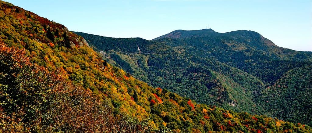
What you’ll seeBig views from the Bluff Mountain area and nearby overlooks.
  • Big views from the Bluff Mountain area and nearby overlooks.
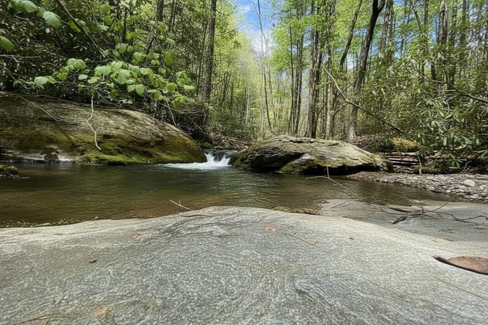
  • Pastures, wildflower-rich meadows in spring/summer, and lively creeks—some with cascades in Basin Cove.
  • Preserved homesteads with interpretive displays and occasional living-history demos at Brinegar Cabin.
WildlifeKeep an eye on the meadow edges and woodlands for white‑tailed deer, wild turkeys, and a wide…

Keep an eye on the meadow edges and woodlands for white‑tailed deer, wild turkeys, and a wide variety of songbirds—birdwatching is a highlight here. Black bears are possible; give them space and store food properly.

Why it’s specialTrails for days: Over 30 miles link meadows, creeks, and overlooks.
  • Trails for days: Over 30 miles link meadows, creeks, and overlooks. Expect real variety—from mellow rambles to serious climbs.
  • A real meal on the Parkway: The Bluffs Restaurant is a classic stop for Appalachian comfort food.

Wildlife

Wildlife in Blue Ridge Parkway

All Blue Ridge Parkway wildlife maps

Sighting maps show where each species has been reported across Blue Ridge Parkway. Wildlife moves, so no sighting is guaranteed.

Keep exploring

Near Doughton Park

See it all on the map

Trails nearby

More stops nearby

Parkwolf’s Blue Ridge Parkway ranking

Top sights in Blue Ridge Parkway

All 232 places
  1. 1Linn Cove ViaductSight
  2. 2Mount MitchellSight
  3. 3Mount Mitchell State ParkSight
  4. 4Craggy Pinnacle OverlookSight
  5. 5Linville FallsSight
  6. 6Peaks of OtterSight

Take Parkwolf to Blue Ridge Parkway.

The audio tour guide for the drive, plus offline maps, trails, and wildlife heatmaps for when the signal drops.

4.7 from 8,600+ ratings

Download Parkwolf on the App StoreGet Parkwolf on Google Play