Parking
Cairngorm Mountain car park, beside the base station; parking is chargeable. The route starts between the base station and café building.
Cairngorms National Park, SC
The Shelter Stone and a granite tor make a hard full-day outing.
Overview
Beinn Mheadhoin via the Shelter Stone is a remote 19 km (11.75 mile) out-and-back from Cairngorm Mountain car park; allow 8–9 hours. The route climbs onto the Fiacaill a' Choire Chais ridge, drops steeply into the Loch Avon basin, visits the Shelter Stone and climbs again to a high plateau of granite tors. It's a serious full-day mountain route with about 1,560 m of ascent, long stretches on faint or missing paths and a short scramble at the summit tor. Come for the wild basin and the blocky skyline; choose something shorter if you're not comfortable navigating away from clear paths. The final scramble is optional, but the rest of the day is still demanding.
 Parkwolf’s verdictIs this the hike for you?
Map & elevation
Plan your hike

The highest, rockiest slopes around here are a summer buffet for grizzly bears.
Cairngorms Tour Guide
Parkwolf is a GPS audio tour guide for Cairngorms National Park. As you drive, it chimes in with what’s ahead: hidden gems, upcoming stops, history, geology, and wildlife, right through your car’s speakers.
See the Cairngorms audio tourRecorded for this trailhead
Cairngorm Mountain and the Funicular“You're approaching Cairngorm Mountain, where the funicular gets you high above the forest without a mountain hike. In under ten minutes it reaches Ptarmigan, with views down toward Loch Morlich when the cloud allows.”
Plays as you drive up to this trailhead in the Parkwolf Cairngorms Tour Guide.
More stories near here in the app
“Fantastic app with many points of information… It’s great to just turn on while you’re driving and it gives you an audio tour of the national Park. We love it!!!!”


Trail guide
Start between the mountain base station and café building. Take the bike-park path to the right of the garden, keep left at the junctions and follow the path left of the mountain-bike routes to the main track above the half-way station. Turn uphill on the west side of Coire Cas, then take the constructed path to Fiacaill a' Choire Chais. The broken tor marks the ridge. A Cairn Gorm summit diversion adds a separate climb and isn't part of this route.
From the ridge, continue into Coire Raibert. The path drops very steeply and rockily beside a cascading stream; Beinn Mheadhoin's tors appear across the loch. Cross the stream lower down and take the path on the far bank, descending toward the head of Loch Avon. The lake lies below high cliffs, with several small beaches at its head. This is the wildest-feeling stretch of the route, but the long drop into the basin has to be climbed again on the way back.
Near the loch's head, a narrow path crosses the inflow stream. It can be difficult or even impossible to cross when the water is high, so don't force it. Beyond, the path climbs toward Shelter Stone Crag before bending back toward Allt nan Stacan Dubha. Take the short side trip to Clach Dion, the huge fallen boulder that gives this route its name. Smaller stones hold it above a hollow large enough for several people to shelter in; it has served as a refuge for a long time. A cairn sits on top, but the hollow underneath is the memorable part.
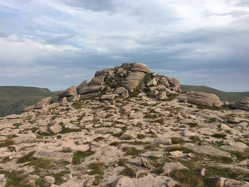
Past the boulder, the path climbs steeply, eases near a stream and crosses wetter ground. Loch Etchachan comes into view to the right. Leave the path before it descends and make the initial pathless climb onto Beinn Mheadhoin's plateau. The first low tor, one of the Barns, looks out over Loch Avon; more granite tors lead across sandy, wind-blasted ground toward the summit. In mist, the tors help mark the line, but paths fade and navigation gets harder. The largest northeastern tor is the true summit: walk around to its far side for a short scramble to the top. You can skip that scramble, but you'll miss the highest point. At the first tor, include Loch Avon below the rocks in a photo; the lake gives the skyline a sense of scale.
Return over the plateau, past the Shelter Stone, around Loch Avon and back up Coire Raibert to the ridge and car park. The same stream crossings and steep ground come around again, with a substantial climb out of the basin. The published 8–9 hour estimate and 1,560 m of ascent reflect the full outing, not just the summit climb. Cairngorm Mountain car park is chargeable. A café building sits beside the start, and dogs are allowed under Scotland's responsible-access rules when kept under proper control.
The 19 km figure covers a return by the same route. It leaves Cairn Gorm's summit as an optional detour; the Saddle return and Ben Macdui extension are different routes.
Wildlife
 159 sightingsRed DeerMost seen around 7 AMSighting map
 63 sightingsReindeerMost seen around 6 PMSighting map
 102 sightingsOspreyMost seen around 5 PMSighting map
 37 sightingsBlack GrouseMost seen around 4 AMSighting map
 72 sightingsRed GrouseMost seen around 6 PMSighting map
 82 sightingsPine MartenMost seen around 9 PMSighting map
Sighting maps show where each species has been reported across Cairngorms. Wildlife moves, so no sighting is guaranteed.
Keep exploring
 ChallengingBen Macdui and Cairn Gorm Circuit19.8 km · 8.5 hr · At the trailheadTwo Munro summits and a boulderfield crossing to navigate.
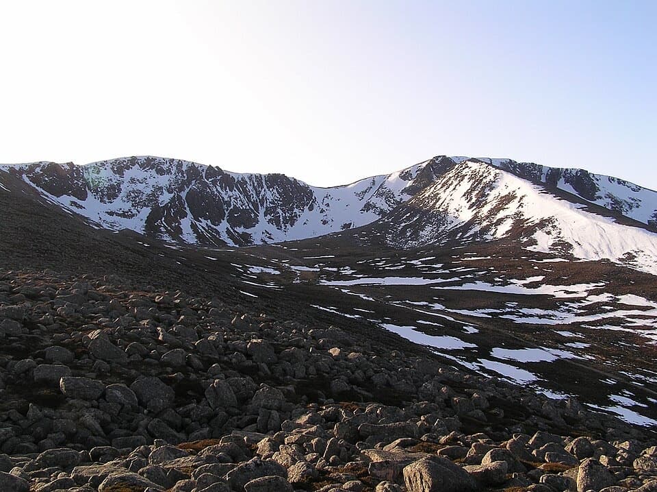 ModerateCoire an t-Sneachda Trail5.8 km · 2 hr · At the trailheadA 3.6-mile out-and-back to boulders beneath high corrie cliffs.
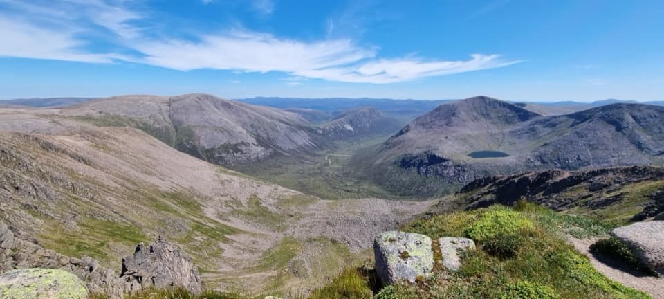 ChallengingCairn Toul–Braeriach Traverse35.8 km · 13 hr · 1.4 km awayFour Munros, a glacial pass and a high, remote return.
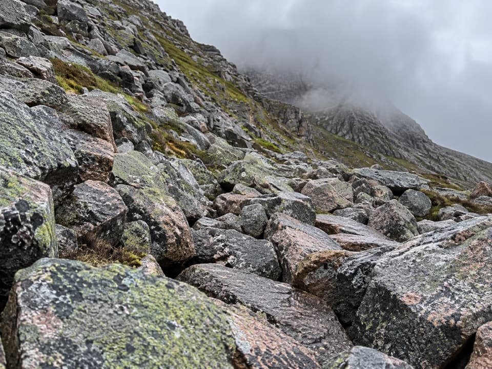 ChallengingChalamain Gap Circuit18.1 km · 6.5 hr · 1.4 km awayA long Cairngorms circuit crosses a boulder-choked pass.
 ModerateLodge Trail3.9 km · 1.5 hr · 2.8 km awayPinewoods, a footbridge and dog-grave headstones near the lodge.
 ChallengingBynack More from Glenmore22.5 km · 7 hr · 2.9 km awayA long Munro out-and-back to a wide view over Moray.
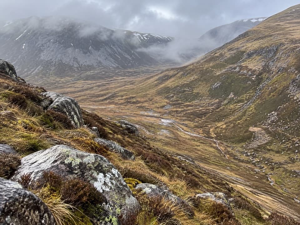 ChallengingLairig an Laoigh30.6 km · 9 hr · 2.9 km awayA remote 19-mile crossing with rough moorland and a serious Avon ford.
 ModeratePine Knoll Trail2 km · 45 min · 3.3 km awayA short loop beneath twisted pines, with wood ants and summer dragonflies.
 Sight · 0.1 km awayCairngorm MountainA quick funicular ride to high views over Strathspey.
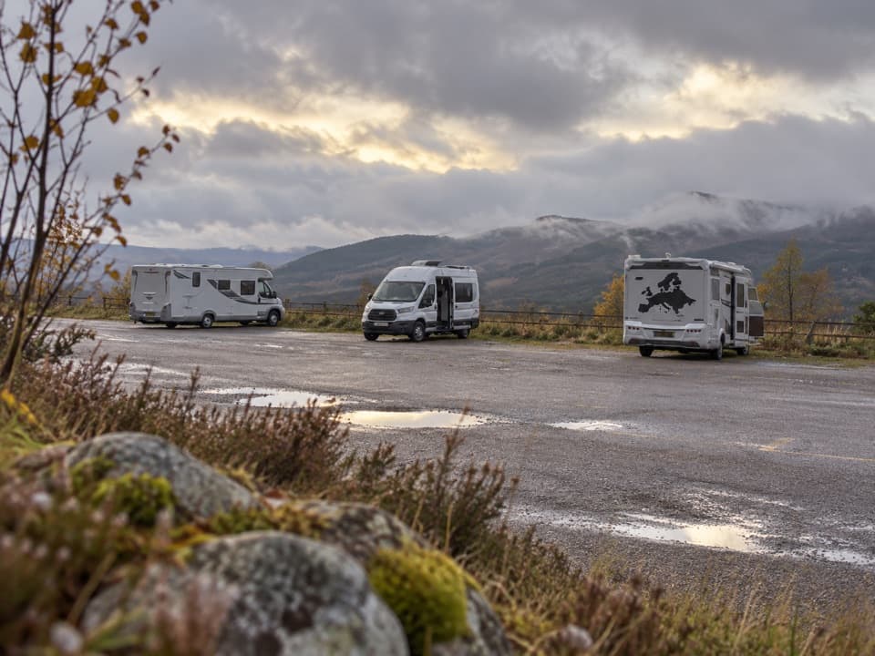 Campground · 1.6 km awayCairngorm Motorhome StopoverWake to Loch Morlich views if your motorhome is self-contained.
 Sight · 3.3 km awayHayfieldA Glenmore stop for a pine-lined walk and snow-day sledging.
 Campground · 3.8 km awayGlenmore CampsitePine-forest camping, with Loch Morlich’s sandy beach a short walk away.
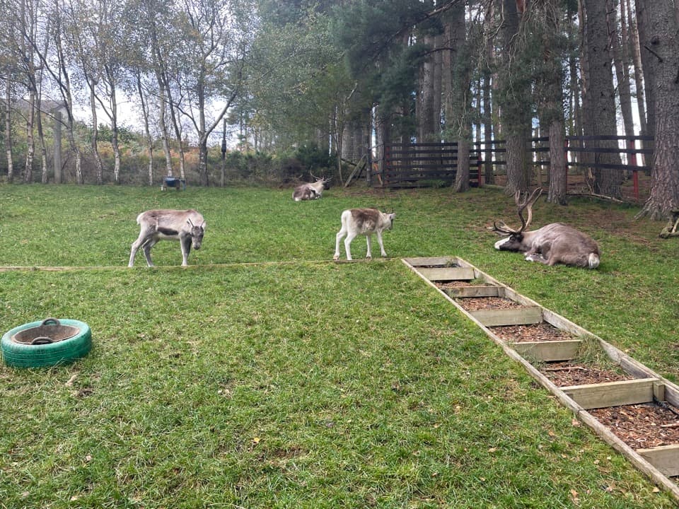 Sight · 3.9 km awayCairngorm Reindeer CentreA mountain walk brings you close enough to hand-feed reindeer.
 Visitor center · 4 km awayGlenmore Visitor CentreGet local walk advice before choosing your Glenmore route.
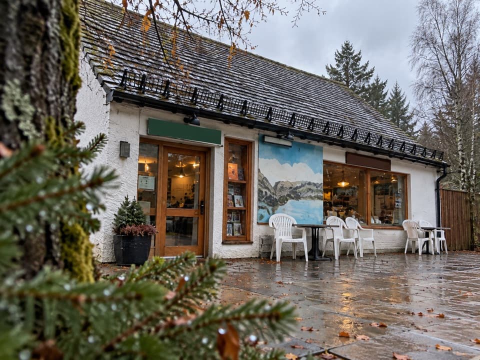 Restaurant · 4.1 km awayThe Pine Marten Bar & ScranAn alpine-style meal stop for hikers, skiers and campers.
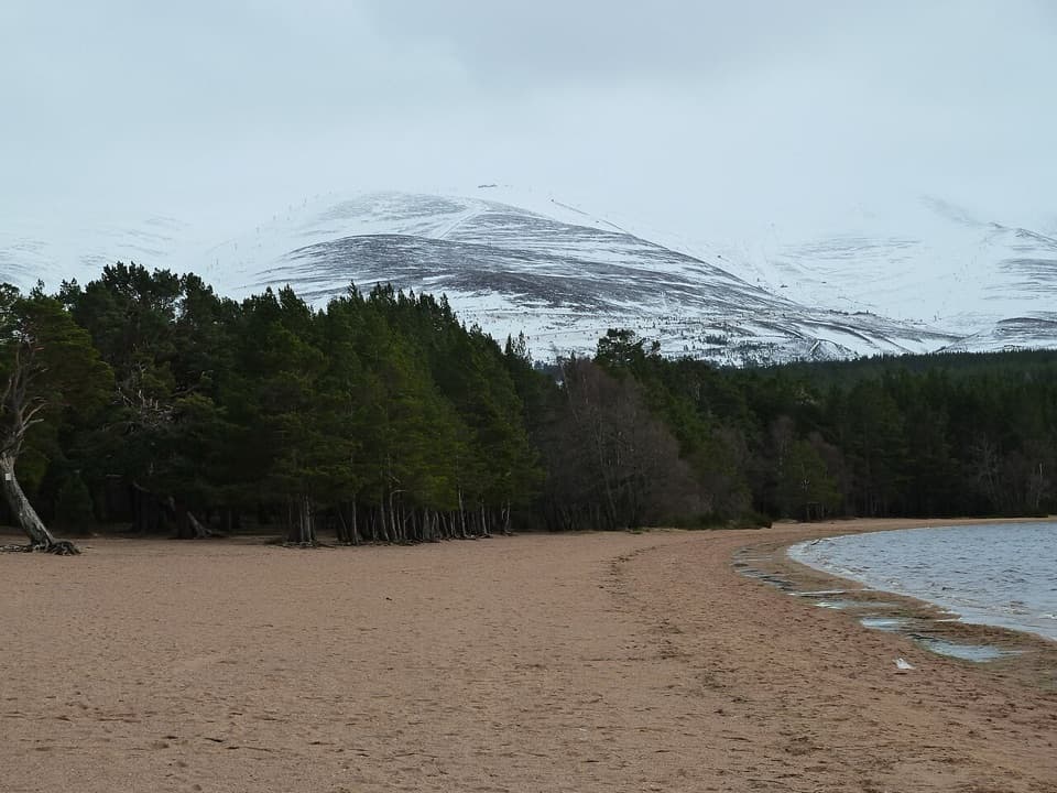 Beach · 4.2 km awayLoch Morlich BeachA sandy freshwater beach with the Cairngorms across the water.
Parkwolf’s Cairngorms ranking
The audio tour guide for the drive, plus offline maps, trails, and wildlife heatmaps for when the signal drops.




