Parking
Start at Cairngorm Mountain’s Coire Cas base-station car park. It is a paid car park with more than 400 spaces; the route begins beside the snow factory.
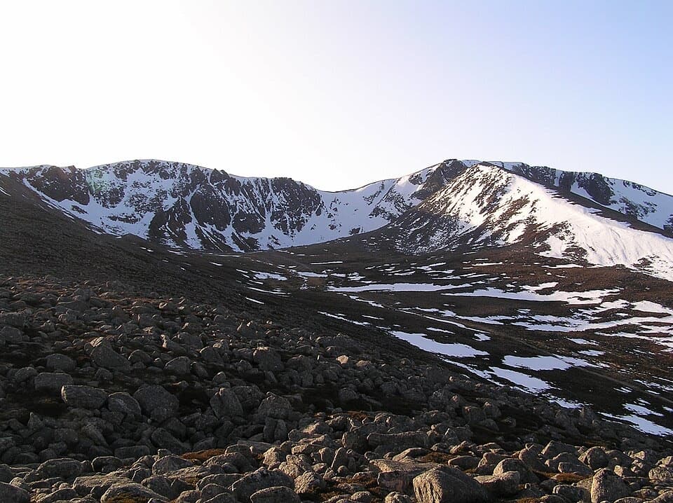
#21 of 260 trails in Cairngorms
Cairngorms National Park, SC
A 3.6-mile out-and-back to boulders beneath high corrie cliffs.
Overview
Map & elevation
Plan your hike

The highest, rockiest slopes around here are a summer buffet for grizzly bears.
Cairngorms Tour Guide
Parkwolf is a GPS audio tour guide for Cairngorms National Park. As you drive, it chimes in with what’s ahead: hidden gems, upcoming stops, history, geology, and wildlife, right through your car’s speakers.
See the Cairngorms audio tourRecorded for this trailhead
Cairngorm Mountain and the Funicular“You're approaching Cairngorm Mountain, where the funicular gets you high above the forest without a mountain hike. In under ten minutes it reaches Ptarmigan, with views down toward Loch Morlich when the cloud allows.”
Plays as you drive up to this trailhead in the Parkwolf Cairngorms Tour Guide.
More stories near here in the app
“Fantastic app with many points of information… It’s great to just turn on while you’re driving and it gives you an audio tour of the national Park. We love it!!!!”


Trail guide
Coire an t-Sneachda is a 3.6-mile out-and-back from Cairngorm Mountain’s Coire Cas car park to the boulder-strewn floor of a high, cliff-ringed corrie. Allow about two hours and roughly 300 metres of ascent. One published route estimate rounds the walk to 4 miles; the mapped line to the usual boulder-field turnaround is about 3.6 miles including the short car-park approach. The payoff is a close look into a dramatic corrie, without committing to a summit circuit.
Pass to the left of the snow factory, take the path to the right of the hut, then turn left at the next junction. After steps and a short moorland stretch, take the left-hand fork on pitched stone steps; that is the line for Coire an t-Sneachda.
A well-made path climbs steadily across the slope. Giant blocks make stepping stones over small streams before the route crosses the main burn. Look back as you climb: the view opens over Rothiemurchus Forest and Loch Morlich to Aviemore and the Monadhliath. Beyond the burn, the path gets rougher and fades before the corrie’s boulders.
The usual turn-around is just before a field of huge blocks below the enclosing cliffs. Most walkers stop there; crossing the boulders carefully reaches small lochans beneath the headwall, but that is a rough extension beyond the mapped walk. For the defining view, use the boulders as foreground against the cliff ring and snow gullies. This route goes to the floor, not up the cliffs.
The cliffs have a long climbing history. Harold Raeburn made the first ascent of Pygmy Ridge here in 1904; Aladdin’s Buttress sits beneath the high point of the rim, and Magic Crack is another well-known climb. In winter, the corrie is a destination for ice climbers.
The corrie floor is above 900 metres, and the approach is exposed. Snow can persist on the route; when it covers the path, an ice axe, crampons and the skill to use them are essential. Dogs may accompany walkers under Scotland’s responsible-access rules; keep them under proper control.
Wildlife
 159 sightingsRed DeerMost seen around 7 AMSighting map
 63 sightingsReindeerMost seen around 6 PMSighting map
 102 sightingsOspreyMost seen around 5 PMSighting map
 37 sightingsBlack GrouseMost seen around 4 AMSighting map
 72 sightingsRed GrouseMost seen around 6 PMSighting map
 82 sightingsPine MartenMost seen around 9 PMSighting map
Sighting maps show where each species has been reported across Cairngorms. Wildlife moves, so no sighting is guaranteed.
Keep exploring
 ChallengingBen Macdui and Cairn Gorm Circuit19.8 km · 8.5 hr · At the trailheadTwo Munro summits and a boulderfield crossing to navigate.
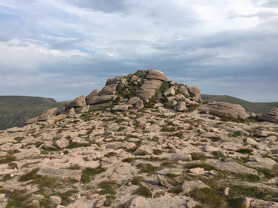 ChallengingBeinn Mheadhoin via the Shelter Stone18.9 km · 8.5 hr · At the trailheadThe Shelter Stone and a granite tor make a hard full-day outing.
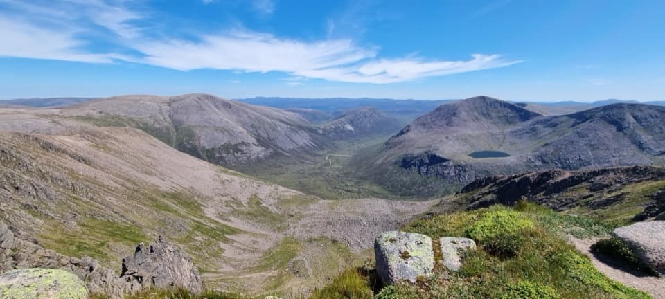 ChallengingCairn Toul–Braeriach Traverse35.8 km · 13 hr · 1.4 km awayFour Munros, a glacial pass and a high, remote return.
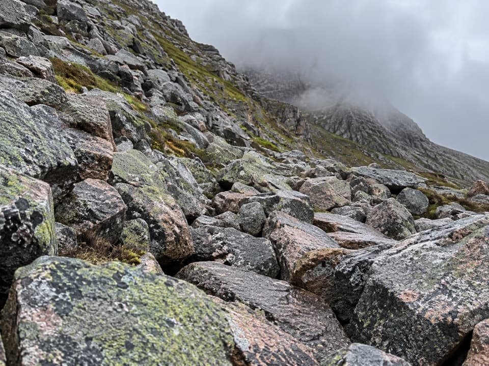 ChallengingChalamain Gap Circuit18.1 km · 6.5 hr · 1.4 km awayA long Cairngorms circuit crosses a boulder-choked pass.
 ModerateLodge Trail3.9 km · 1.5 hr · 2.8 km awayPinewoods, a footbridge and dog-grave headstones near the lodge.
 ChallengingBynack More from Glenmore22.5 km · 7 hr · 2.9 km awayA long Munro out-and-back to a wide view over Moray.
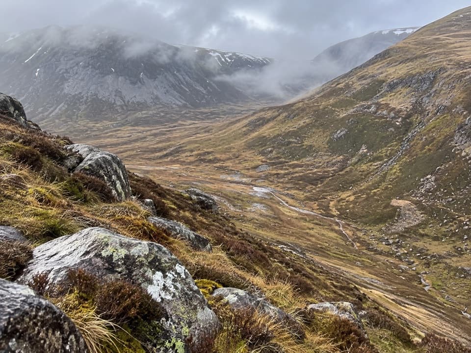 ChallengingLairig an Laoigh30.6 km · 9 hr · 2.9 km awayA remote 19-mile crossing with rough moorland and a serious Avon ford.
 ModeratePine Knoll Trail2 km · 45 min · 3.3 km awayA short loop beneath twisted pines, with wood ants and summer dragonflies.
 Sight · 0.1 km awayCairngorm MountainA quick funicular ride to high views over Strathspey.
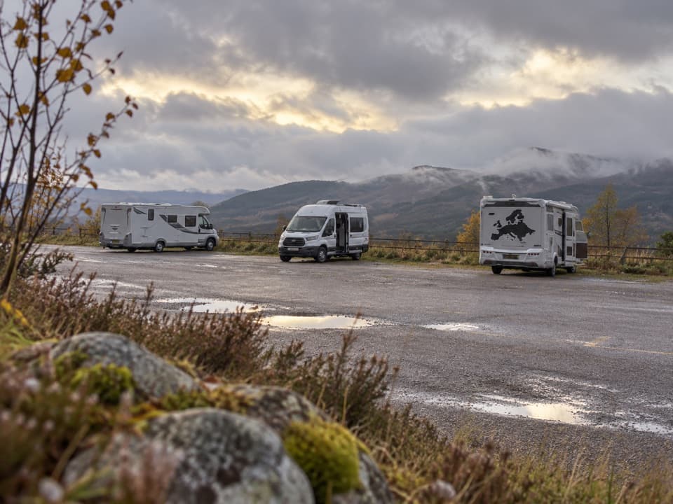 Campground · 1.6 km awayCairngorm Motorhome StopoverWake to Loch Morlich views if your motorhome is self-contained.
 Sight · 3.3 km awayHayfieldA Glenmore stop for a pine-lined walk and snow-day sledging.
 Campground · 3.8 km awayGlenmore CampsitePine-forest camping, with Loch Morlich’s sandy beach a short walk away.
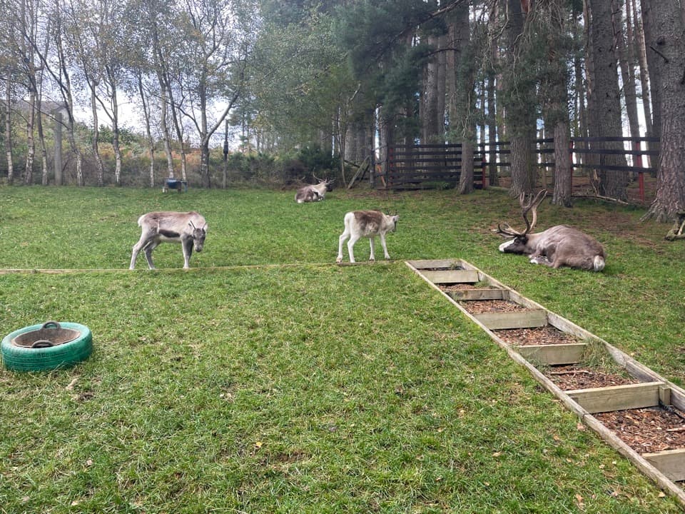 Sight · 3.9 km awayCairngorm Reindeer CentreA mountain walk brings you close enough to hand-feed reindeer.
 Visitor center · 4 km awayGlenmore Visitor CentreGet local walk advice before choosing your Glenmore route.
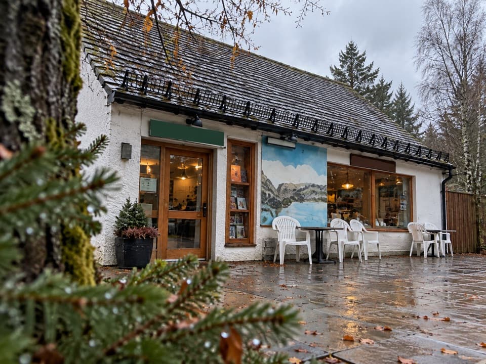 Restaurant · 4.1 km awayThe Pine Marten Bar & ScranAn alpine-style meal stop for hikers, skiers and campers.
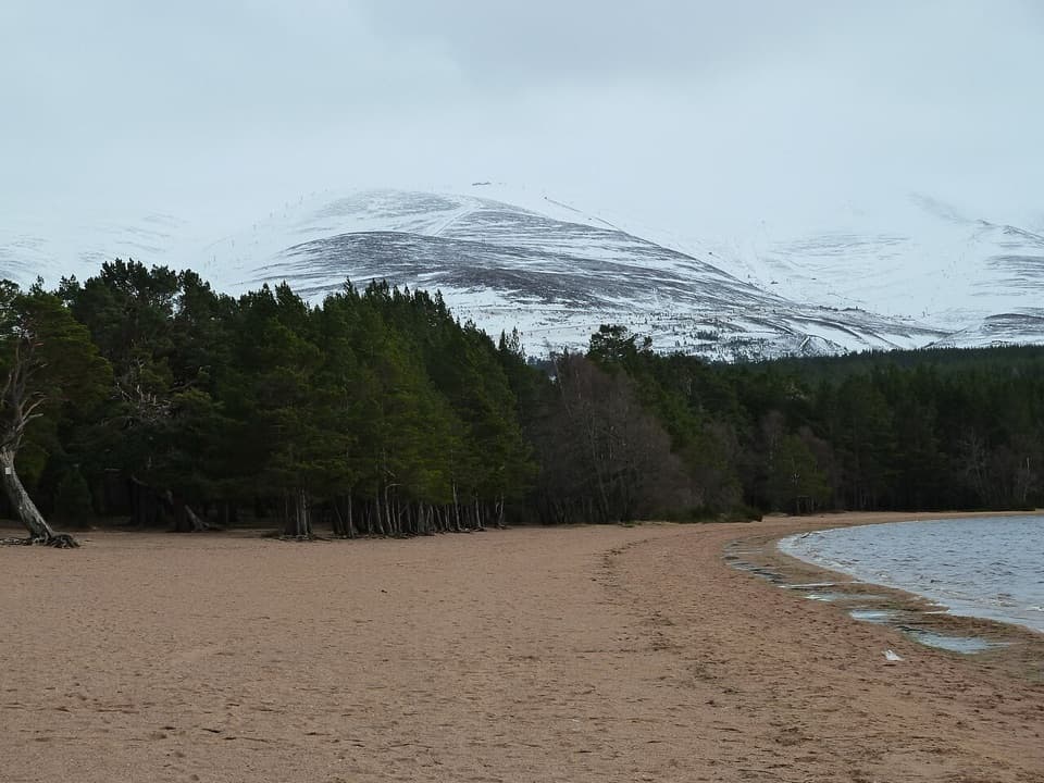 Beach · 4.2 km awayLoch Morlich BeachA sandy freshwater beach with the Cairngorms across the water.
Parkwolf’s Cairngorms ranking

The audio tour guide for the drive, plus offline maps, trails, and wildlife heatmaps for when the signal drops.




