Parking
Use Linn of Quoich car park at the end of the public road beyond Linn of Dee. Start past the barrier and cross the new bridge over the Quoich. Parking is charged; check posted terms for current details.
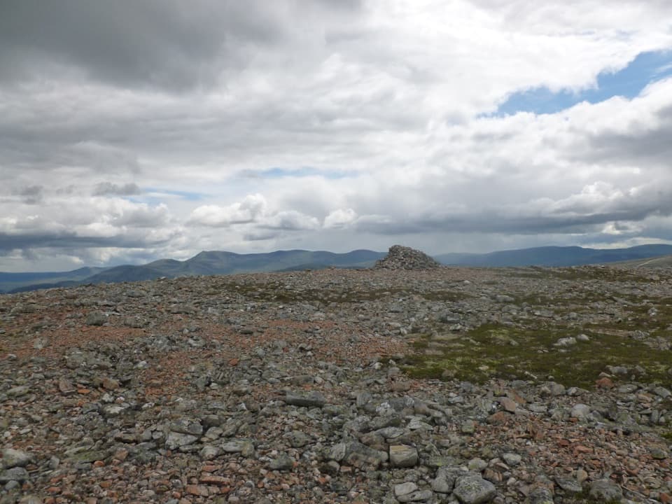
Cairngorms National Park, SC
A steep heather climb to a broad summit plateau with big views.
Overview
Map & elevation
Plan your hike

The highest, rockiest slopes around here are a summer buffet for grizzly bears.
Cairngorms Tour Guide
Parkwolf is a GPS audio tour guide for Cairngorms National Park. As you drive, it chimes in with what’s ahead: hidden gems, upcoming stops, history, geology, and wildlife, right through your car’s speakers.
See the Cairngorms audio tourRecorded for this trailhead
Linn of Quoich and the Punchbowl“Up ahead is Linn of Quoich, where a short walk leads to a rocky gorge and a round, water-worn hollow in the granite called the Punchbowl. It's just over five hundred metres from the car park to the water.”
Plays as you drive up to this trailhead in the Parkwolf Cairngorms Tour Guide.
More stories near here in the app
“Fantastic app with many points of information… It’s great to just turn on while you’re driving and it gives you an audio tour of the national Park. We love it!!!!”


Trail guide
Càrn na Drochaide is a steep out-and-back from Linn of Quoich car park to a broad 818 m summit plateau. The connected mapped corridor is about 2 miles each way, or 4.1 miles round trip; allow 4 to 5 hours for the climb, rough upper ground and stops. Longer published estimates do not match this mapped line, so check that you are following the same route before setting out.
Start past the barrier and cross the new bridge over the Quoich. The track passes below a white house, through a gate in the deer fence and by a whitewashed cottage, then the isolated house at Allanmore. Beyond it, pass two separate pines and look left for a grassy track climbing uphill a couple of hundred metres farther on.
The faint track winds uphill toward a thin band of pines. Turn right where it climbs more steeply beyond the trees; a straighter track alongside the pines fades out. The route can become hard to see across a shallow dip and then peters out on the small plateau of Creag a’ Cheirich. Visit the cairn just south of its top for the Dee and Lochnagar view, then head well left toward the col below Càrn na Drochaide to stay clear of the rocky gorge Clais nan Cat. The final ascent is pathless over steep heather, turning stony higher up.
The upper hill eases into an open, uneven plateau with small cairns and a larger cairn at the 818 m top. Its position is the reward: the view ranges over the main Cairngorms to the north and west, toward Ben Avon to the north, and down the Dee toward Lochnagar and Glen Clunie. Just south of the cairn on Creag a’ Cheirich is a worthwhile place to pause for a clear view down the Dee.
Use the charged Linn of Quoich car park at the road end and check the posted payment terms. Dogs are welcome under Scotland’s access rules; keep them on a short lead or close to heel around livestock and wildlife. Deer stalking takes place on surrounding hill ground, so check current local notices before crossing the open slopes and follow estate signs.
Wildlife
 159 sightingsRed DeerMost seen around 7 AMSighting map
 63 sightingsReindeerMost seen around 6 PMSighting map
 102 sightingsOspreyMost seen around 5 PMSighting map
 37 sightingsBlack GrouseMost seen around 4 AMSighting map
 72 sightingsRed GrouseMost seen around 6 PMSighting map
 82 sightingsPine MartenMost seen around 9 PMSighting map
Sighting maps show where each species has been reported across Cairngorms. Wildlife moves, so no sighting is guaranteed.
Keep exploring
 ModerateClais Fhearnaig Circuit16.3 km · 4.5 hr · At the trailheadA high pass links Glen Quoich and Glen Lui above a lochan.
 ModerateLinn of Quoich Punchbowl Circuit4.8 km · 2 hr · At the trailheadFollow the river to a royal lodge and its water-carved Punchbowl.
 ChallengingBeinn a’ Bhùird from Glen Quoich28.2 km · 8 hr · At the trailheadA demanding Munro climb from pinewoods to a broad, open plateau.
 ModerateMorrone Birkwood Trail4.4 km · 2 hr · 2.6 km awayA birchwood loop with juniper slopes and wide Dee valley views.
 ModerateCreag Bhalg from Claybokie6 km · 2.3 hr · 3.3 km awayA short climb, with a faint heather path to open summit views.
 ModerateThe Colonel’s Bed Walk4.8 km · 1.5 hr · 3.3 km awayA short Glen Ey walk to a gorge-side hideaway with a story.
 ChallengingBeinn Iutharn Mhòr and Càrn Bhac Loop32.2 km · 9.5 hr · 3.3 km awayTwo remote Munros, linked by a hard day over bog and scree.
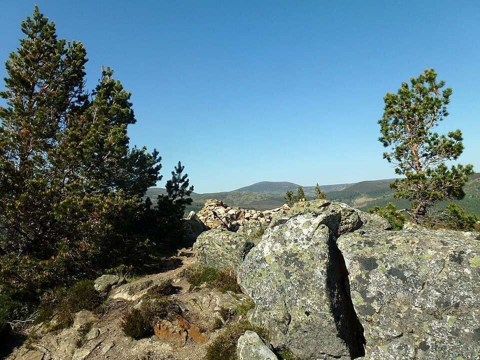 ModerateCreag Choinnich Trail3 km · 2 hr · 3.4 km awayA short climb from Braemar for a wide Dee valley view.
 Sight · 0.4 km awayLinn of QuoichFollow Quoich Water to its granite Punchbowl and restored cottage.
 Visitor center · 3.1 km awayThe Duke of Rothesay Highland Games PavilionMeet the Gathering’s story beside the field where it unfolds.
 Lodging · 3.4 km awayThe Fife ArmsStop for a pub meal inside Braemar’s Victorian landmark hotel.
 Sight · 3.4 km awayKindrochit CastleA small Braemar ruin with a royal story worth a short stop.
 Store · 3.5 km awayBraemar Chocolate ShopScottish-inspired handmade chocolates in a Braemar village shop.
 Campground · 3.6 km awayBraemar Caravan Park & Camping PodsA practical base near Braemar village and Invercauld Estate walks.
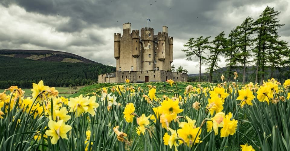 Sight · 4.1 km awayBraemar CastleA lively 1628 castle tour with a garden and a thatched folly.
 Sight · 5.7 km awayLinn of DeeA Victorian granite bridge over a river squeezed through stone.
Parkwolf’s Cairngorms ranking

The audio tour guide for the drive, plus offline maps, trails, and wildlife heatmaps for when the signal drops.





