Parking
Linn of Quoich car park is at the end of the public road, about 6 km beyond Linn of Dee. The small lot can be busy on weekends. Parking charges apply to non-members; National Trust for Scotland members park free.

Cairngorms National Park, SC
A high pass links Glen Quoich and Glen Lui above a lochan.
Overview
Map & elevation
Plan your hike

The highest, rockiest slopes around here are a summer buffet for grizzly bears.
Cairngorms Tour Guide
Parkwolf is a GPS audio tour guide for Cairngorms National Park. As you drive, it chimes in with what’s ahead: hidden gems, upcoming stops, history, geology, and wildlife, right through your car’s speakers.
See the Cairngorms audio tourRecorded for this trailhead
Linn of Quoich and the Punchbowl“Up ahead is Linn of Quoich, where a short walk leads to a rocky gorge and a round, water-worn hollow in the granite called the Punchbowl. It's just over five hundred metres from the car park to the water.”
Plays as you drive up to this trailhead in the Parkwolf Cairngorms Tour Guide.
More stories near here in the app
“Fantastic app with many points of information… It’s great to just turn on while you’re driving and it gives you an audio tour of the national Park. We love it!!!!”


Trail guide
Clais Fhearnaig is a 10.1-mile (16.25 km) loop from Linn of Quoich through Glen Quoich, over the Clais Fhearnaig pass, down Glen Lui and back beside the River Dee. Allow 4–4.5 hours for about 321 m of ascent. The route changes from pine-fringed tracks to a narrow, open pass, then finishes on long glen and riverside paths with a short road section. The mapped line follows connected paths matched to the written turn-by-turn description; a full downloadable track was not available, so keep an offline map handy for the upper pass and the return junctions.
From the car park, walk toward the Linn footbridge and take the sharp left path before it, climbing diagonally to the main glen track. A short optional out-and-back reaches the footbridge and the Punch Bowl, a round basin carved into rock; it is outside the mapped circuit, and the route directions say not to cross the river. Water can hide the basin. The main walk rises above the river through scattered Caledonian pines, with views toward Beinn a’ Bhùird. At the first burn, turn left almost immediately onto the narrower uphill path. If you reach the much larger river, you have gone too far.
The tread crosses open moorland toward the narrow cleft and its lochan, then follows the lochan’s right side before crossing a stream and passing a smaller pool. The upper path is narrower and often boggy; expect wet ground and small water crossings, with little shelter from wind on the open slope. The cleft’s name may mean “hollow of the alders,” though no alders remain there. A dam at the lochan recalls its use as a trout-fishing spot.
The descent opens wide views down Glen Lui and across the surrounding hills. At the Derry Lodge–Linn of Dee track, turn left down the glen. At Black Bridge, stay on the river-side track; later climb away from the water through Doire Bhraghad’s pines and heather, keeping to the main line at junctions toward Claybokie. The return follows a lane toward Mar Lodge, then paths along the raised River Dee bank, small bridges and tracks past Cragan before the final minor-road walk to the start. Victoria Bridge and views toward Mar Lodge mark this last stretch. Young pines among older trees show the gradual regeneration of the Caledonian woodland.
The start is the Linn of Quoich car park at the end of the public road, about 6 km beyond Linn of Dee. Parking is limited and can be busy on weekends; charges apply to non-members, while National Trust for Scotland members park free. The nearest toilets are seasonal at Linn of Dee; there are none listed at the Quoich start. Dogs are welcome: keep them under close control near livestock and on a lead during ground-nesting bird season, especially April through July.
Wildlife
 159 sightingsRed DeerMost seen around 7 AMSighting map
 63 sightingsReindeerMost seen around 6 PMSighting map
 102 sightingsOspreyMost seen around 5 PMSighting map
 37 sightingsBlack GrouseMost seen around 4 AMSighting map
 72 sightingsRed GrouseMost seen around 6 PMSighting map
 82 sightingsPine MartenMost seen around 9 PMSighting map
Sighting maps show where each species has been reported across Cairngorms. Wildlife moves, so no sighting is guaranteed.
Keep exploring
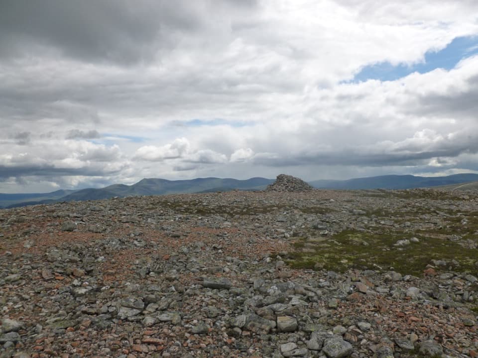 ModerateCàrn na Drochaide from Linn of Quoich6.5 km · 4.5 hr · At the trailheadA steep heather climb to a broad summit plateau with big views.
 ModerateLinn of Quoich Punchbowl Circuit4.8 km · 2 hr · At the trailheadFollow the river to a royal lodge and its water-carved Punchbowl.
 ChallengingBeinn a’ Bhùird from Glen Quoich28.2 km · 8 hr · At the trailheadA demanding Munro climb from pinewoods to a broad, open plateau.
 ModerateMorrone Birkwood Trail4.4 km · 2 hr · 2.6 km awayA birchwood loop with juniper slopes and wide Dee valley views.
 ModerateCreag Bhalg from Claybokie6 km · 2.3 hr · 3.3 km awayA short climb, with a faint heather path to open summit views.
 ModerateThe Colonel’s Bed Walk4.8 km · 1.5 hr · 3.3 km awayA short Glen Ey walk to a gorge-side hideaway with a story.
 ChallengingBeinn Iutharn Mhòr and Càrn Bhac Loop32.2 km · 9.5 hr · 3.3 km awayTwo remote Munros, linked by a hard day over bog and scree.
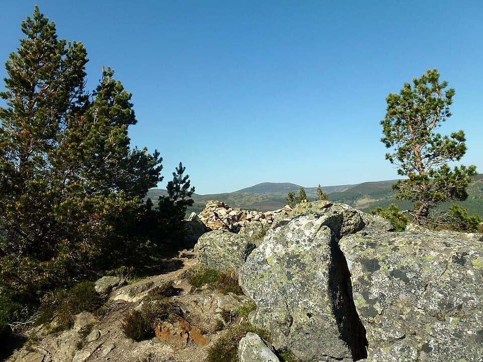 ModerateCreag Choinnich Trail3 km · 2 hr · 3.4 km awayA short climb from Braemar for a wide Dee valley view.
 Sight · 0.4 km awayLinn of QuoichFollow Quoich Water to its granite Punchbowl and restored cottage.
 Visitor center · 3.1 km awayThe Duke of Rothesay Highland Games PavilionMeet the Gathering’s story beside the field where it unfolds.
 Lodging · 3.4 km awayThe Fife ArmsStop for a pub meal inside Braemar’s Victorian landmark hotel.
 Sight · 3.4 km awayKindrochit CastleA small Braemar ruin with a royal story worth a short stop.
 Store · 3.5 km awayBraemar Chocolate ShopScottish-inspired handmade chocolates in a Braemar village shop.
 Campground · 3.6 km awayBraemar Caravan Park & Camping PodsA practical base near Braemar village and Invercauld Estate walks.
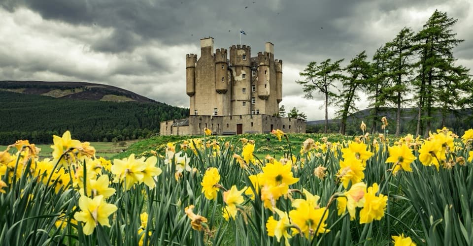 Sight · 4.1 km awayBraemar CastleA lively 1628 castle tour with a garden and a thatched folly.
 Sight · 5.7 km awayLinn of DeeA Victorian granite bridge over a river squeezed through stone.
Parkwolf’s Cairngorms ranking

The audio tour guide for the drive, plus offline maps, trails, and wildlife heatmaps for when the signal drops.





