Parking
Use the Linn of Quoich car park at the end of the public road; the loop starts beyond the vehicle barrier. Parking is pay-and-display.

#18 of 260 trails in Cairngorms
Cairngorms National Park, SC
Follow the river to a royal lodge and its water-carved Punchbowl.
Overview
Map & elevation
Plan your hike

The highest, rockiest slopes around here are a summer buffet for grizzly bears.
Cairngorms Tour Guide
Parkwolf is a GPS audio tour guide for Cairngorms National Park. As you drive, it chimes in with what’s ahead: hidden gems, upcoming stops, history, geology, and wildlife, right through your car’s speakers.
See the Cairngorms audio tourRecorded for this trailhead
Linn of Quoich and the Punchbowl“Up ahead is Linn of Quoich, where a short walk leads to a rocky gorge and a round, water-worn hollow in the granite called the Punchbowl. It's just over five hundred metres from the car park to the water.”
Plays as you drive up to this trailhead in the Parkwolf Cairngorms Tour Guide.
More stories near here in the app
“Fantastic app with many points of information… It’s great to just turn on while you’re driving and it gives you an audio tour of the national Park. We love it!!!!”


Trail guide
The Linn of Quoich Punchbowl Circuit is a 3-mile (5 km) loop from Linn of Quoich car park, linking a river gorge, a royal picnic lodge and a hillside return through pinewoods. Allow 1½–2½ hours; the loop gains about 120 m and is graded moderate. Expect a mix of estate track, grassy and heather paths, rough ground and steep stone steps. It is more than a flat stroll to the water: the full circuit climbs above the river and crosses a small burn. Keep that crossing in mind before setting out. It can rise quickly in very wet weather and become impassable; if it is not safe to cross, turn back rather than force it.
Start beyond the vehicle barrier and cross the bridge. Before the old cottage, take the grassy path left at two boulders and follow it through the trees to Queen Victoria’s Picnic Lodge. The stone shelter dates to about 1850 and was built by Princess Louise, Victoria’s granddaughter; the Queen regularly picnicked at the Linn. After restoration in 2024, it reopened as a picnic shelter in 2025. It is a historic stop, not a café or food shop.
The footbridge looks into the narrow rocky gorge where the Quoich Water squeezes through the Linn. The Punchbowl is a round, water-worn hole in the rock slabs upstream. Local lore connects it with the Earl of Mar and the 1715 Jacobite Rising; one story says he toasted the cause here. Treat that as tradition rather than a documented event. The bridge is the signature viewpoint: look for a composition that includes the water, dark gorge and circular basin together.
Continue upstream on the lodge side, then climb stone steps to the heather-and-grass path above the water. As the trees thin, views open across Quoich Water to Creag Bhalg, whose slopes are dotted with regenerating Scots pine. The route then descends over more steps toward a small burn. The narrow grassy and heather sections are uneven, so the underfoot effort is greater than the short distance suggests.
After the burn, climb steep steps and follow the woodland edge. The path briefly opens to a view up the glen, then drops down a heathery slope to a footbridge over the river. From there the return follows a broad estate road through pinewood, then a larger track and a narrower straight path to the barrier and car park. This return makes the walk a complete circuit rather than an out-and-back to the Punchbowl.
Parking at Linn of Quoich is pay-and-display; no current fee or capacity is needed for the route decision. No food outlet, drinking water or toilet is listed at this access. Seasonal portable toilets are at Linn of Dee car park, about 3½ miles away. Dogs may accompany walkers but should be on a lead or under close control, especially from April through August. The full loop is a good fit for walkers comfortable with uneven paths, steep steps and deciding whether a burn crossing is passable.
Wildlife
 159 sightingsRed DeerMost seen around 7 AMSighting map
 63 sightingsReindeerMost seen around 6 PMSighting map
 102 sightingsOspreyMost seen around 5 PMSighting map
 37 sightingsBlack GrouseMost seen around 4 AMSighting map
 72 sightingsRed GrouseMost seen around 6 PMSighting map
 82 sightingsPine MartenMost seen around 9 PMSighting map
Sighting maps show where each species has been reported across Cairngorms. Wildlife moves, so no sighting is guaranteed.
Keep exploring
 ChallengingBeinn a’ Bhùird from Glen Quoich28.2 km · 8 hr · At the trailheadA demanding Munro climb from pinewoods to a broad, open plateau.
 ModerateClais Fhearnaig Circuit16.3 km · 4.5 hr · At the trailheadA high pass links Glen Quoich and Glen Lui above a lochan.
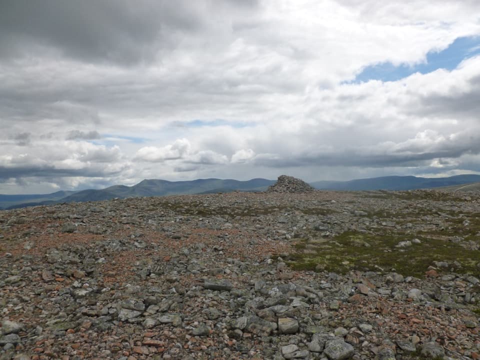 ModerateCàrn na Drochaide from Linn of Quoich6.5 km · 4.5 hr · At the trailheadA steep heather climb to a broad summit plateau with big views.
 ModerateMorrone Birkwood Trail4.4 km · 2 hr · 2.6 km awayA birchwood loop with juniper slopes and wide Dee valley views.
 ModerateCreag Bhalg from Claybokie6 km · 2.3 hr · 3.2 km awayA short climb, with a faint heather path to open summit views.
 ModerateThe Colonel’s Bed Walk4.8 km · 1.5 hr · 3.3 km awayA short Glen Ey walk to a gorge-side hideaway with a story.
 ChallengingBeinn Iutharn Mhòr and Càrn Bhac Loop32.2 km · 9.5 hr · 3.3 km awayTwo remote Munros, linked by a hard day over bog and scree.
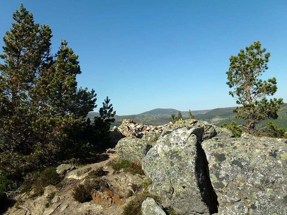 ModerateCreag Choinnich Trail3 km · 2 hr · 3.4 km awayA short climb from Braemar for a wide Dee valley view.
 Sight · 0.4 km awayLinn of QuoichFollow Quoich Water to its granite Punchbowl and restored cottage.
 Visitor center · 3.1 km awayThe Duke of Rothesay Highland Games PavilionMeet the Gathering’s story beside the field where it unfolds.
 Lodging · 3.4 km awayThe Fife ArmsStop for a pub meal inside Braemar’s Victorian landmark hotel.
 Sight · 3.4 km awayKindrochit CastleA small Braemar ruin with a royal story worth a short stop.
 Store · 3.5 km awayBraemar Chocolate ShopScottish-inspired handmade chocolates in a Braemar village shop.
 Campground · 3.6 km awayBraemar Caravan Park & Camping PodsA practical base near Braemar village and Invercauld Estate walks.
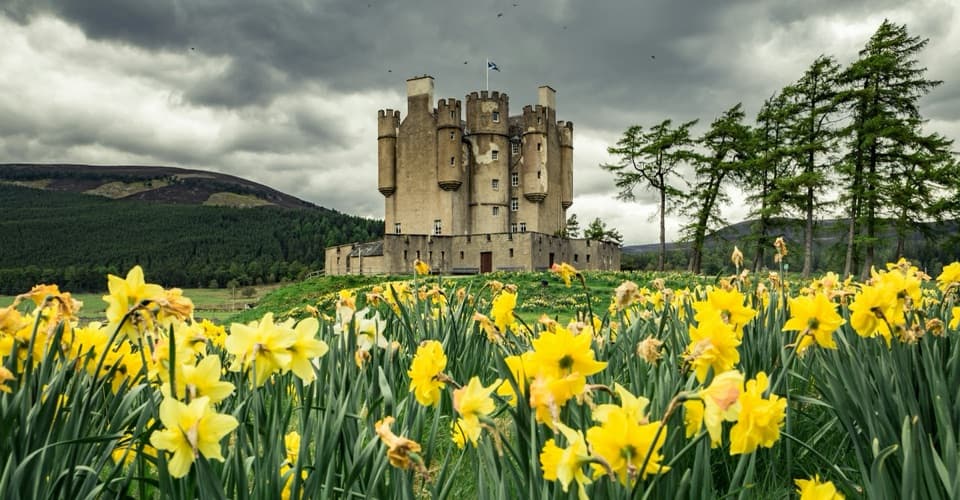 Sight · 4.1 km awayBraemar CastleA lively 1628 castle tour with a garden and a thatched folly.
 Sight · 5.6 km awayLinn of DeeA Victorian granite bridge over a river squeezed through stone.
Parkwolf’s Cairngorms ranking

The audio tour guide for the drive, plus offline maps, trails, and wildlife heatmaps for when the signal drops.





