Parking
Start at Feshiebridge car park, reached from the B9152 via Kincraig and the road across Feshiebridge. This is a point-to-point route; arrange a vehicle transfer or pickup at White Bridge, about 4.5 km west of Linn of Dee.
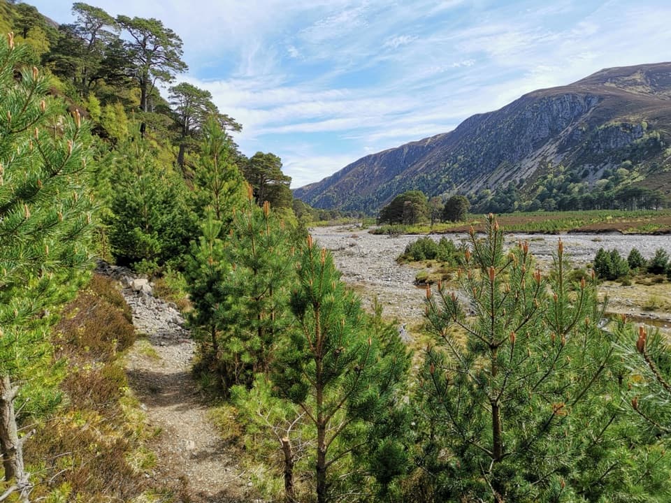
Cairngorms National Park, SC
A remote 35 km crossing from pine woods to open Cairngorm moorland
Overview
The Glen Feshie Drove Road is a 35 km (about 21.75 mi) point-to-point walk from Feshiebridge to White Bridge, not a circuit. Allow roughly 9–11 hours for the full crossing and arrange your return from White Bridge in advance. The route moves from forest tracks to rough upland ground and a long estate-road section. It is remote, with several water crossings and no easy support along the way. A commonly repeated longer distance could not be matched to a verifiable start or route, so this guide follows the full Feshiebridge–White Bridge line. The official digital route has a short 23 m gap beside a mapped Geldie ford; check the crossing on the ground and do not assume a bridge there.
Map & elevation
Plan your hike

The highest, rockiest slopes around here are a summer buffet for grizzly bears.
Cairngorms Tour Guide
Parkwolf is a GPS audio tour guide for Cairngorms National Park. As you drive, it chimes in with what’s ahead: hidden gems, upcoming stops, history, geology, and wildlife, right through your car’s speakers.
See the Cairngorms audio tourRecorded for this trailhead
Feshiebridge and Frank Bruce’s Sculptures“You're nearing Feshiebridge, where the Frank Bruce Sculpture Trail makes an unusual woodland break. The gentle one-mile circuit takes about forty-five minutes through trees and a former walled garden.”
Plays as you drive up to this trailhead in the Parkwolf Cairngorms Tour Guide.
More stories near here in the app
“Fantastic app with many points of information… It’s great to just turn on while you’re driving and it gives you an audio tour of the national Park. We love it!!!!”


Trail guide
From Feshiebridge the route enters the lower glen and crosses the River Feshie on the pony bridge near NN 851 964. The older bridge at Carnachuin was swept away in 2009. Beyond the crossing, the path follows the east side of the river beneath the steep crags and screes of Creag na Gaibhre, through Scots pine and open clearings. Expect a mix of track and rough path rather than a uniform surfaced trail.
Ruigh Aiteachain bothy is a useful landmark in the pinewood before the glen narrows and the surrounding crags become more prominent. The route then climbs toward open, exposed country on the Feshie–Geldie watershed. The landscape changes from sheltered trees to broad moor and mountain slopes; in poor visibility, this upper section demands confident navigation.
At the Eidart, use the bridge several hundred metres upstream from the confluence. The lower ford near the meeting of the rivers can become dangerous quickly when water rises, and there is no easy upstream alternative there. Smaller side streams can also require fording. After the Eidart, the line turns toward the Geldie and a mapped ford; its digital geometry breaks for about 23 m at that crossing. Water levels and the exact safe line can change, so check conditions before leaving and do not enter fast or rising water.
Beyond the high crossing, the route joins the rough track along the Geldie Burn, then follows the estate road toward the Glen Tilt path and White Bridge. This final stretch is more open and less sheltered than the forested approach, and it adds several kilometres after the watershed. White Bridge is about 4.5 km west of Linn of Dee. The walk ends there; the extra distance to Linn of Dee is a separate continuation, not part of this route.
Ruigh Aiteachain is a mountain bothy, not a staffed stop or a source of food or water. It has a stove and compost toilet; use only the wood provided and do not light outdoor fires. Much of the route is shown as a road on Roy’s 1747–55 military survey, although the mapped approach then came from Ruthven. The present crossing from Feshiebridge follows the later route through Glen Feshie.
The start is Feshiebridge car park, reached from the B9152 via Kincraig and the road across Feshiebridge. This is a long through-walk, so leave a vehicle or arrange a pickup at White Bridge. There is no food or water service on the crossing; plan to carry what you need. Dogs may accompany walkers under Scotland’s access rules, but keep them under control around livestock and wildlife and assess whether they can manage the fords.
Wildlife
 159 sightingsRed DeerMost seen around 7 AMSighting map
 63 sightingsReindeerMost seen around 6 PMSighting map
 102 sightingsOspreyMost seen around 5 PMSighting map
 37 sightingsBlack GrouseMost seen around 4 AMSighting map
 72 sightingsRed GrouseMost seen around 6 PMSighting map
 82 sightingsPine MartenMost seen around 9 PMSighting map
Sighting maps show where each species has been reported across Cairngorms. Wildlife moves, so no sighting is guaranteed.
Keep exploring
 ModerateThieves’ Road, Feshiebridge to Glen More17.9 km · 5 hr · At the trailheadA historic crossing links Inshriach Bothy and Loch Morlich.
 ModerateInshriach Forest Loop5.2 km · 2 hr · 0.4 km awayA gravel loop through Inshriach Forest, with western Cairngorm views.
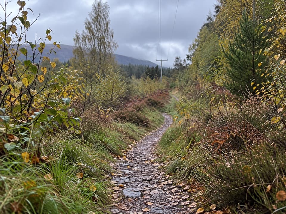 ModerateFeshiebruach Trail1 km · 45 min · 0.4 km awayA pinewood loop for blaeberry, heather and red squirrel spotting.
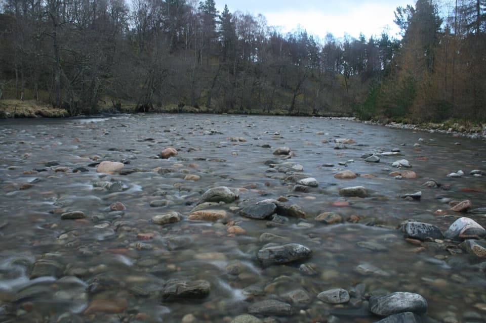 ModerateRiver Feshie Trail2 km · 1 hr · 0.4 km awayShort, rugged River Feshie loop with rough paths and narrow bridges.
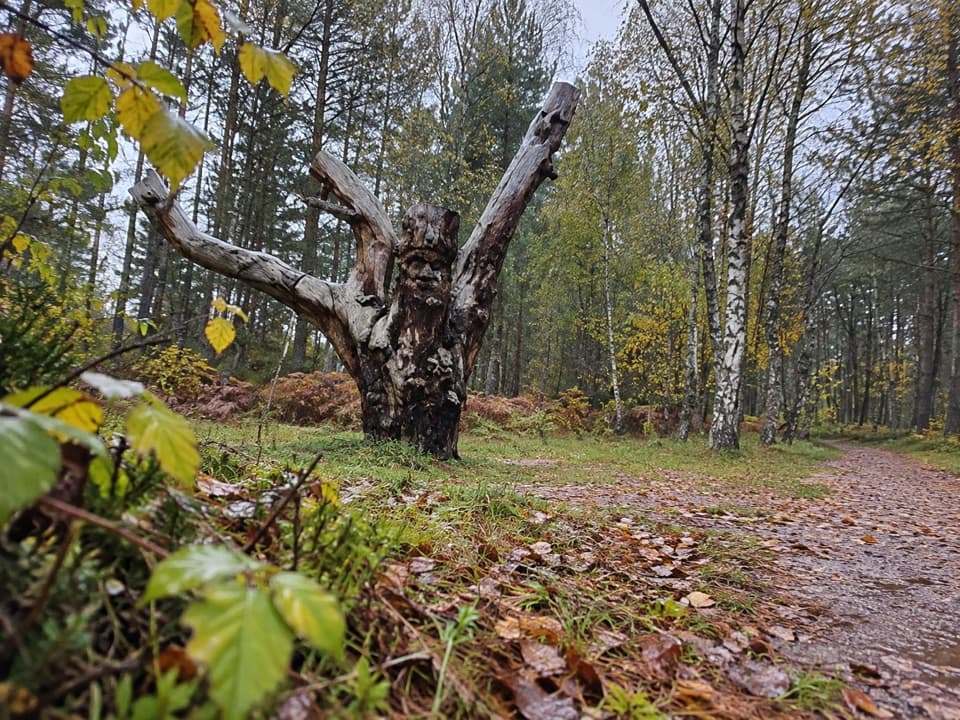 EasyFrank Bruce Sculpture Trail1.6 km · 45 min · 0.4 km awayA gentle woodland loop through Frank Bruce's sculpture remains.
 EasySpeyside Way South Path, Kincraig2.6 km · 1 hr · 2 km awayA gentle path past a Highland church with Loch Insh in view.
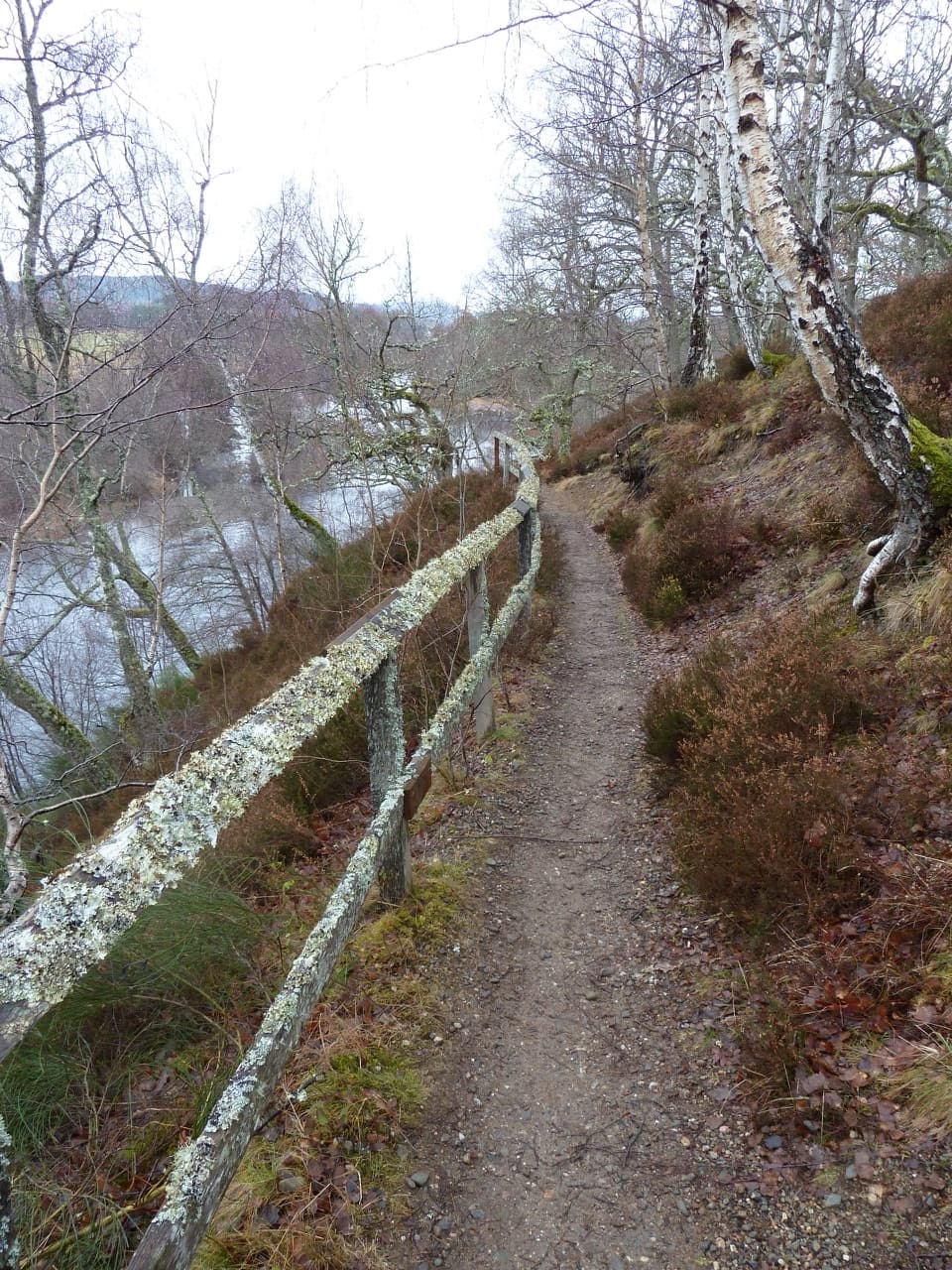 EasyRiverside Walk, Kincraig2.8 km · 1 hr · 2.2 km awayA short riverside ridge walk earns broad views over the Spey.
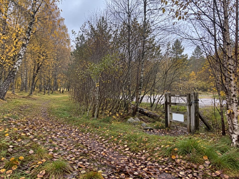 ModerateLochside Loop, Kincraig2.5 km · 1 hr · 2.5 km awayA short loop from Kincraig through oakwood to Loch Insh.
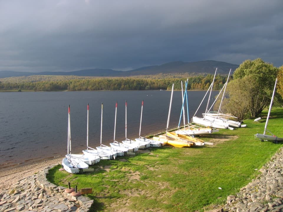 Sight · 1.4 km awayLoch Insh Outdoor CentrePaddle in summer, ski in winter, and eat beside the loch.
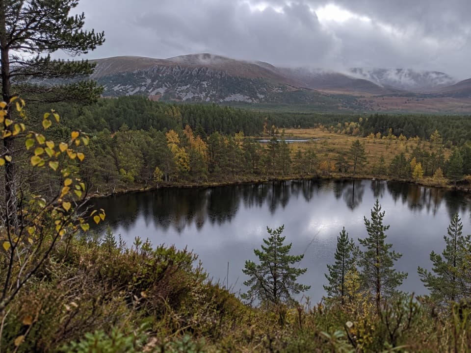 Sight · 2.6 km awayUath LochansSmall woodland lochs, with a steep climb to Strathspey views.
 Campground · 4.1 km awayDalraddy Holiday ParkA forested camping base with Thai food and activity options.
 Sight · 4.2 km awayHighland Wildlife ParkSee the reserve by car, then explore the animal habitats on foot.
 Sight · 6.1 km awayLoch an EileinAn island castle makes this easy loch loop memorable.
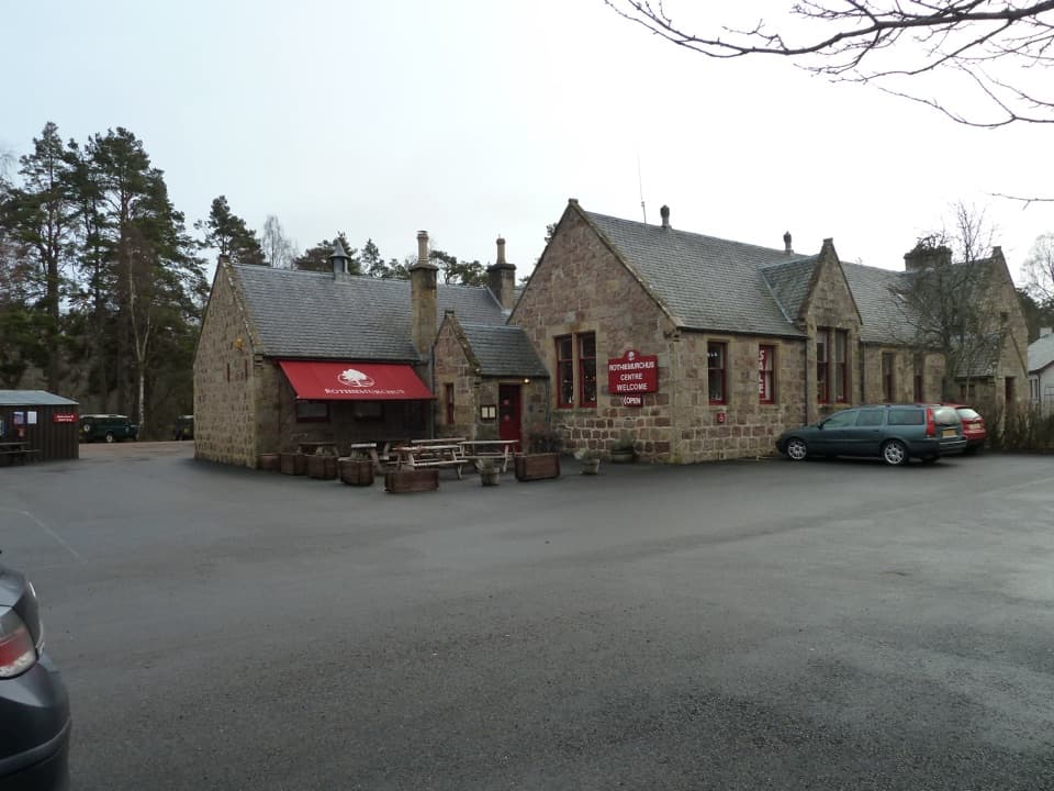 Visitor center · 8.4 km awayRothiemurchus CentreCoffee, estate food and a handy start to local walks.
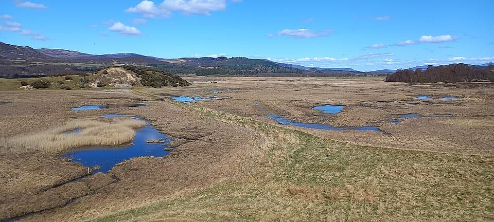 Sight · 8.8 km awayInsh MarshesA slow walk earns bird hides and wide floodplain views.
 Campground · 9.1 km awayRothiemurchus Camp and Caravan ParkA pinewood base for tents, caravans and nearby walks.
Parkwolf’s Cairngorms ranking

The audio tour guide for the drive, plus offline maps, trails, and wildlife heatmaps for when the signal drops.




