Parking
Start from the B970 at Feshiebridge (NH 852 043); the route enters a forest car park shortly afterward. Finish at Cairngorm Road by Glen More (NH 980 091), so arrange transport between the ends.

Cairngorms National Park, SC
A historic crossing links Inshriach Bothy and Loch Morlich.
Overview
Map & elevation
Plan your hike

The highest, rockiest slopes around here are a summer buffet for grizzly bears.
Cairngorms Tour Guide
Parkwolf is a GPS audio tour guide for Cairngorms National Park. As you drive, it chimes in with what’s ahead: hidden gems, upcoming stops, history, geology, and wildlife, right through your car’s speakers.
See the Cairngorms audio tourRecorded for this trailhead
Feshiebridge and Frank Bruce’s Sculptures“You're nearing Feshiebridge, where the Frank Bruce Sculpture Trail makes an unusual woodland break. The gentle one-mile circuit takes about forty-five minutes through trees and a former walled garden.”
Plays as you drive up to this trailhead in the Parkwolf Cairngorms Tour Guide.
More stories near here in the app
“Fantastic app with many points of information… It’s great to just turn on while you’re driving and it gives you an audio tour of the national Park. We love it!!!!”


Trail guide
This is an about 11-mile point-to-point walk from the B970 at Feshiebridge to Cairngorm Road at Glen More. It crosses the Moor of Feshie, passes Inshriach Bothy, meets the paths by Loch Gamhna and Loch an Eilein, then reaches the south shore of Loch Morlich through Rothiemurchus. Allow around five hours, with more time for stops. The route is mostly on broad forest tracks and maintained lochside paths, with a narrower, rougher middle section. Plan transport at both ends; this is not a loop. Dogs may accompany walkers under Scotland’s responsible-access rules; keep them under proper control.
From Feshiebridge, use the newer line left of the houses, then turn right along the road into the forest car park near NH 853 043; the original alignment passes a gate onto a disused road. Follow the main track to the junction at NH 857 045 and turn left across the Moor of Feshie. That turn is unsignposted. At NH 863 054, turn right onto the good forest road, then take the narrower right-hand track by the cairn at NH 878 056. It drops to a wooden bridge over Allt Coire Follais and climbs past the bothy.
Inshriach Bothy, also called Drake’s Bothy, was built in the 1930s as a shooting bothy for the Drake family. The historic name Thieves’ Road is traditionally associated with cattle reivers travelling toward Glen Feshie and the south; treat that as local tradition. Beyond the bothy, the path is less surfaced and crosses a shallow ford near NH 888 056. Continue northeast to the Loch Gamhna junction at NH 893 068, then turn right onto the Loch an Eilein circuit.
The path by Loch an Eilein is broad and generally smooth. At the bench and gate near NH 905 077, turn right after the gate toward Loch Morlich. The next signed junction around NH 915 078 is complex, so check the route before continuing; Lochan Deo lies to the right. Cross the Cairngorm Club footbridge at NH 926 077. The track is rougher beyond it as it bends toward Piccadilly; at NH 938 075, continue straight.
At the Rothiemurchus Lodge access road near NH 949 082, turn left onto the broad forest road. Loch Morlich appears through the trees near NH 956 093. The south-shore path is broad and well surfaced, and is often pisted for cross-country skiing in winter. Pass NH 969 089, take the slight left near NH 977 088, and finish at the Cairngorm Road by the ski-area access at NH 980 091.
Wildlife
 159 sightingsRed DeerMost seen around 7 AMSighting map
 63 sightingsReindeerMost seen around 6 PMSighting map
 102 sightingsOspreyMost seen around 5 PMSighting map
 37 sightingsBlack GrouseMost seen around 4 AMSighting map
 72 sightingsRed GrouseMost seen around 6 PMSighting map
 82 sightingsPine MartenMost seen around 9 PMSighting map
Sighting maps show where each species has been reported across Cairngorms. Wildlife moves, so no sighting is guaranteed.
Keep exploring
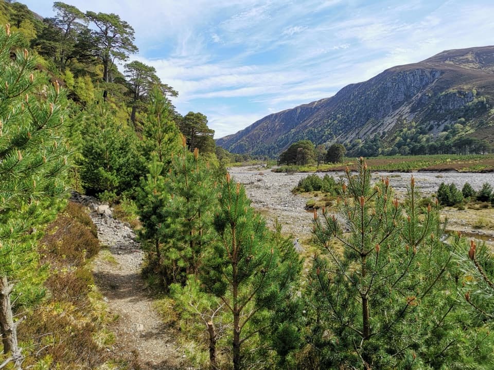 ChallengingGlen Feshie Drove Road35 km · 10 hr · At the trailheadA remote 35 km crossing from pine woods to open Cairngorm moorland
 ModerateInshriach Forest Loop5.2 km · 2 hr · 0.4 km awayA gravel loop through Inshriach Forest, with western Cairngorm views.
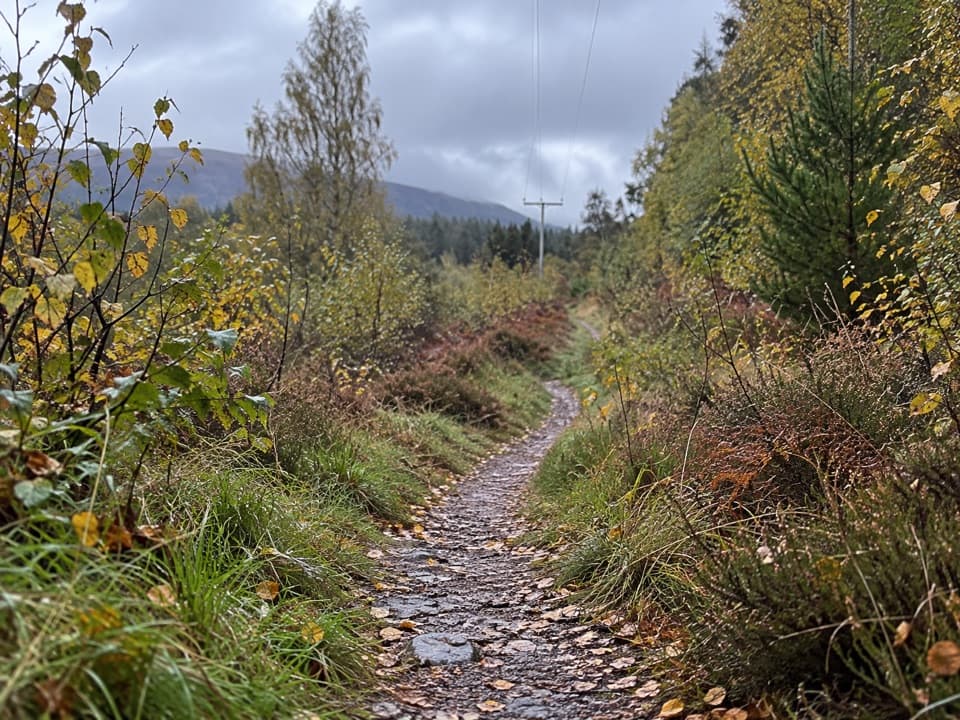 ModerateFeshiebruach Trail1 km · 45 min · 0.4 km awayA pinewood loop for blaeberry, heather and red squirrel spotting.
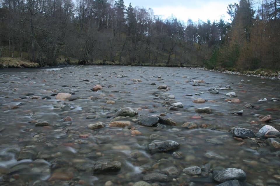 ModerateRiver Feshie Trail2 km · 1 hr · 0.4 km awayShort, rugged River Feshie loop with rough paths and narrow bridges.
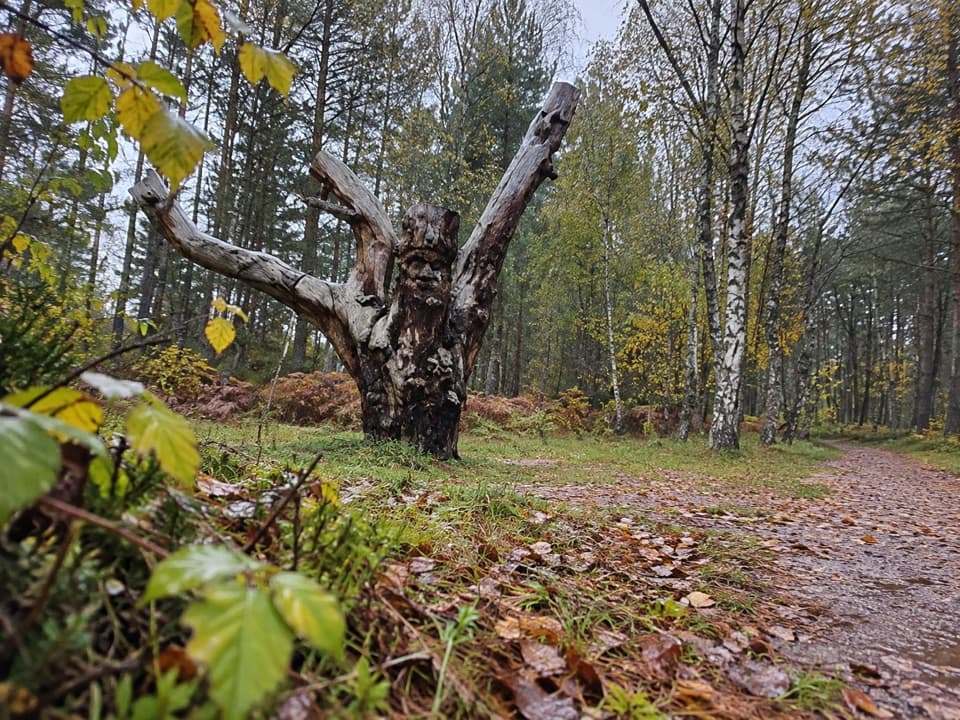 EasyFrank Bruce Sculpture Trail1.6 km · 45 min · 0.4 km awayA gentle woodland loop through Frank Bruce's sculpture remains.
 EasySpeyside Way South Path, Kincraig2.6 km · 1 hr · 2 km awayA gentle path past a Highland church with Loch Insh in view.
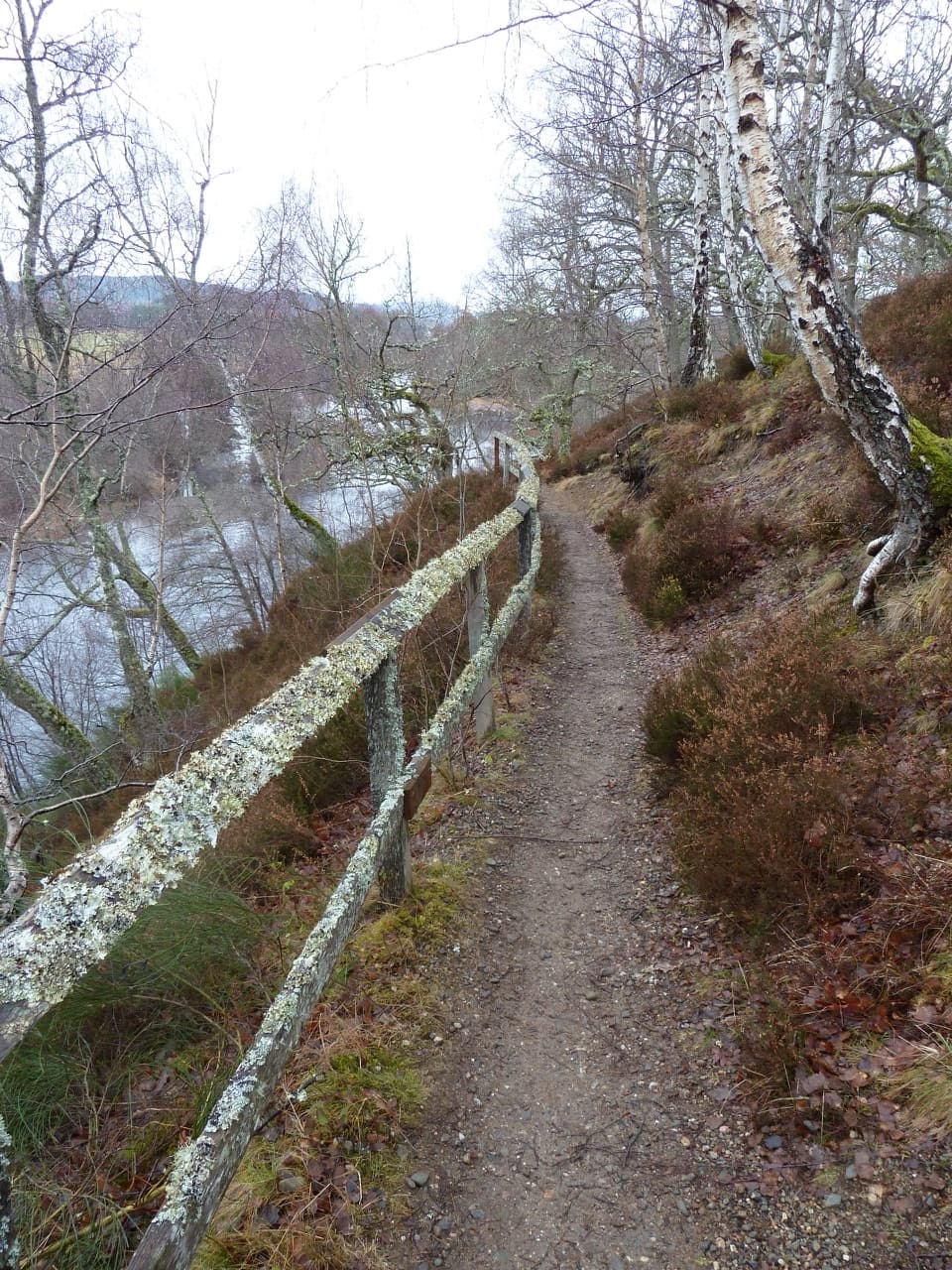 EasyRiverside Walk, Kincraig2.8 km · 1 hr · 2.3 km awayA short riverside ridge walk earns broad views over the Spey.
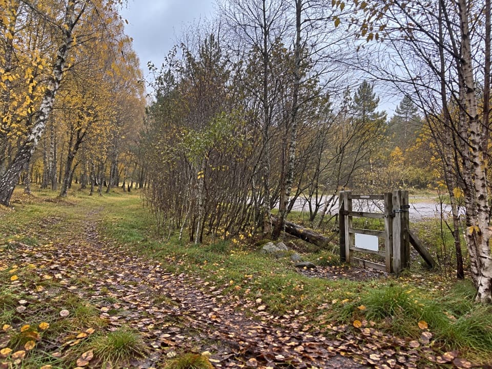 ModerateLochside Loop, Kincraig2.5 km · 1 hr · 2.5 km awayA short loop from Kincraig through oakwood to Loch Insh.
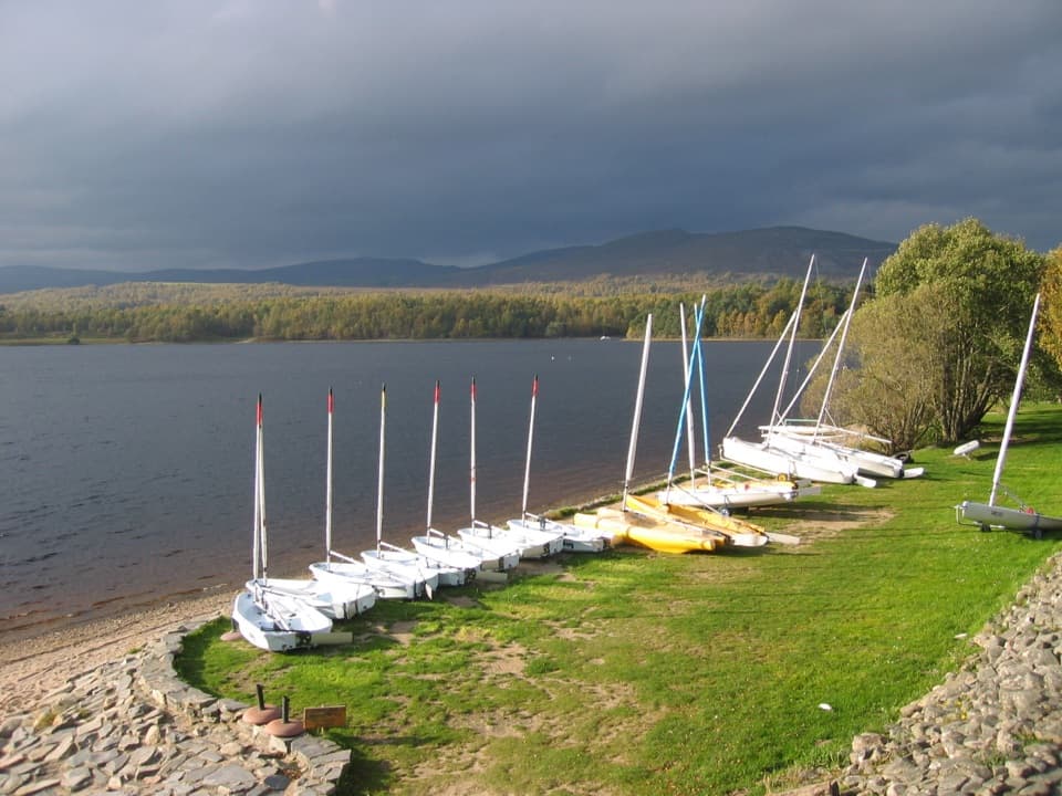 Sight · 1.4 km awayLoch Insh Outdoor CentrePaddle in summer, ski in winter, and eat beside the loch.
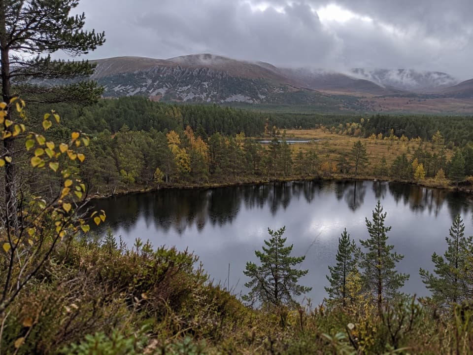 Sight · 2.6 km awayUath LochansSmall woodland lochs, with a steep climb to Strathspey views.
 Campground · 4 km awayDalraddy Holiday ParkA forested camping base with Thai food and activity options.
 Sight · 4.3 km awayHighland Wildlife ParkSee the reserve by car, then explore the animal habitats on foot.
 Sight · 6.1 km awayLoch an EileinAn island castle makes this easy loch loop memorable.
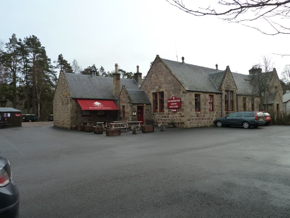 Visitor center · 8.3 km awayRothiemurchus CentreCoffee, estate food and a handy start to local walks.
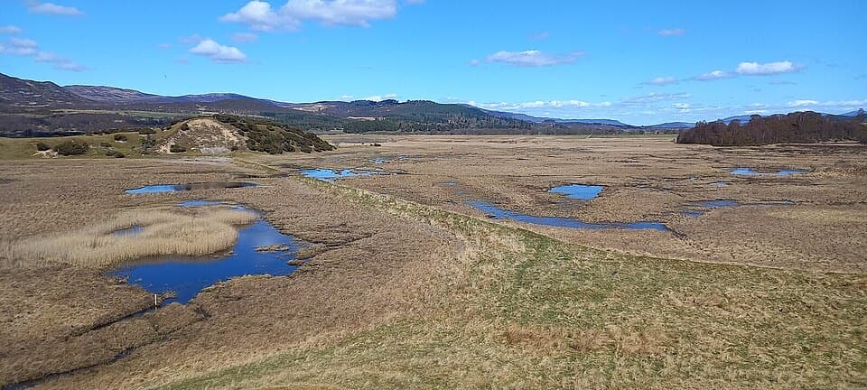 Sight · 8.8 km awayInsh MarshesA slow walk earns bird hides and wide floodplain views.
 Campground · 9 km awayRothiemurchus Camp and Caravan ParkA pinewood base for tents, caravans and nearby walks.
Parkwolf’s Cairngorms ranking

The audio tour guide for the drive, plus offline maps, trails, and wildlife heatmaps for when the signal drops.




