Challenging

Salt Creek Canyon Trail

A lush desert canyon backpack of arches, ruins, water, and solitude
Salt Creek Canyon Trail, Canyonlands National Park
Distance22.5 mi
Typical time22 hr
DifficultyChallenging
PetsNot allowed

Overview

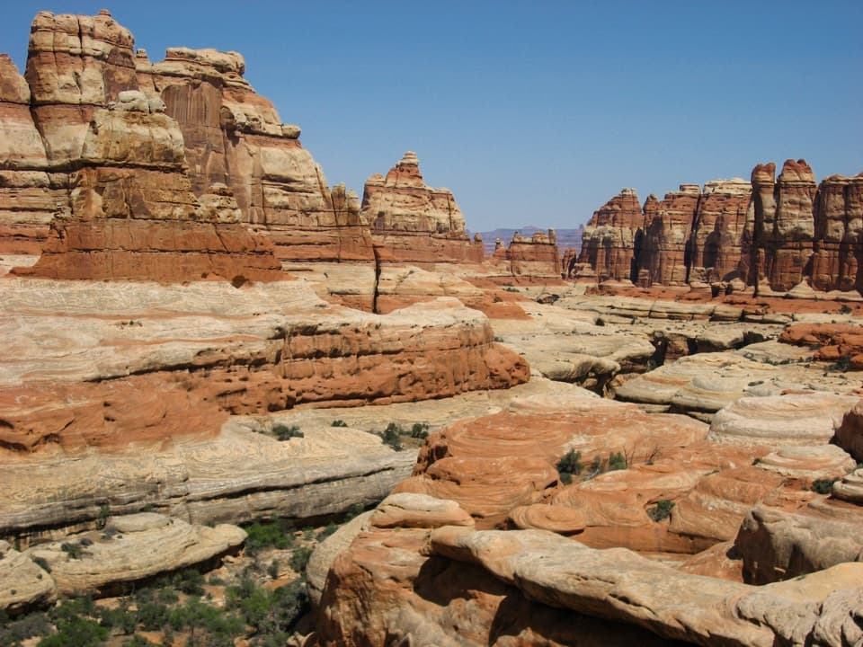
Salt Creek Canyon is the Needles District’s classic backcountry traverse—remote, archeology-rich, and far greener than you’d expect in the desert. Most hikers do it south to north from Cathedral Butte down to the Needles, following a perennial creek beneath towering Navajo Sandstone walls. Expect real solitude, a living riparian corridor, and a steady stream of cultural sites you must view but never touch.

Route and Distance

Plan this as a point‑to‑point. The core route runs roughly 22.5 miles from Cathedral Butte to the northern end of the established corridor, with common through-hike exits that push the total to about 28–33 miles depending on whether you finish at Cave Spring or Squaw Flat. There’s a steep drop of roughly 1,000 feet in the first couple of miles to the canyon floor; after that, the walking is mostly gentle along the wash with frequent crossings and occasional detours through brush. If you only have a day, an out-and-back is possible from either end, but the experience shines as a multi‑day traverse.

What You’ll See

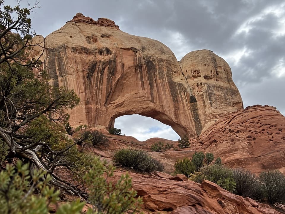
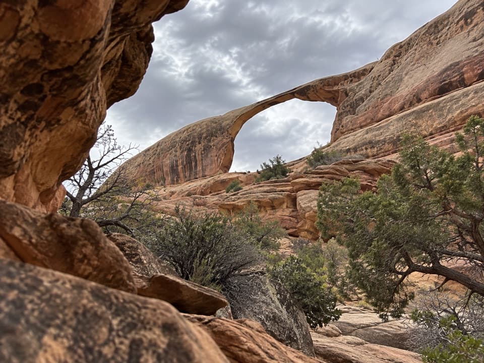
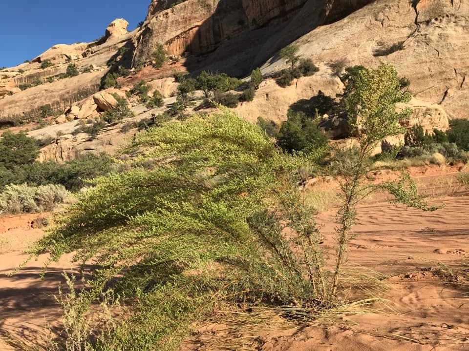
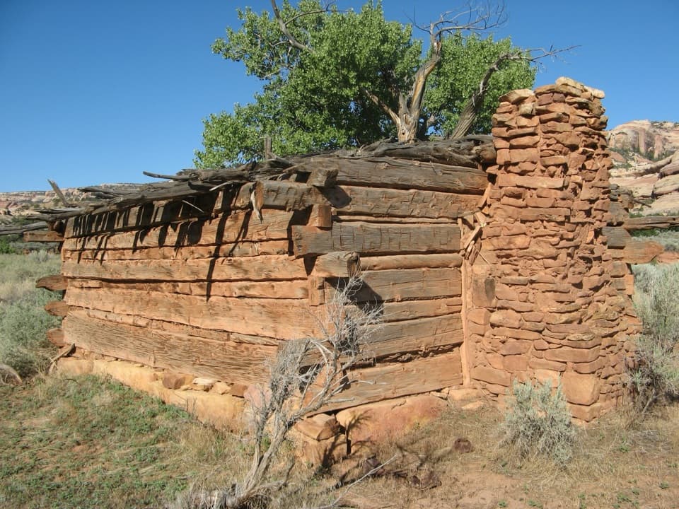
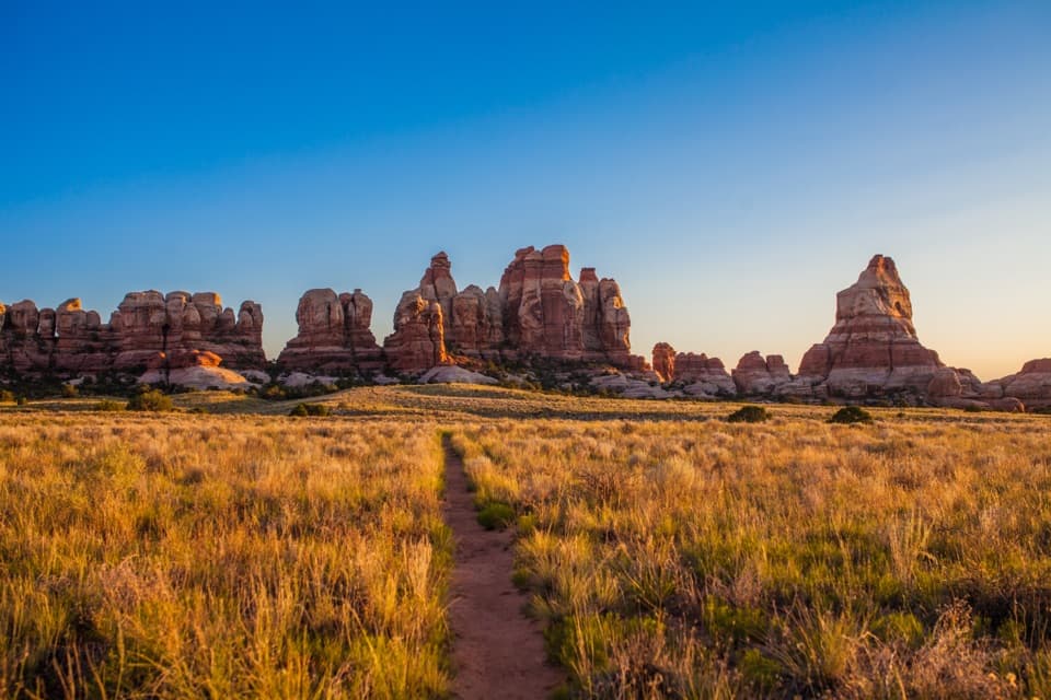
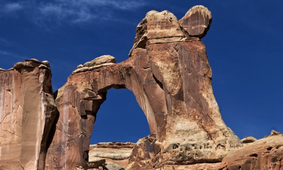
This canyon is a greatest-hits reel of Needles scenery and history. Cottonwood groves, reeds, willows, and sagebrush flats line a rare desert stream, throwing bright green against red slickrock domes and benches. Side canyons hide arches (including the famed Angel Arch), and the main corridor is dotted with granaries, ruins, petroglyphs, handprints, pottery fragments, and the late‑1800s Kirk’s Cabin. Look—don’t touch or enter—these sites; they’re protected and irreplaceable.

Difficulty and Terrain

It’s moderately challenging, more for the route-finding and vegetation than for relentless elevation. The initial descent is rugged and steep; thereafter you’ll alternate between sandy wash, dirt, slickrock benches, and occasional boulder-hopping. Floods and thick tamarisk can obscure tread; expect periods of bushwhacking and to lose/re-find the path, especially around marshy stretches. When in doubt, staying near the creek often brings you back to the main line.

Water and Camping

Springs and creek water appear along the way (a notable one is within the first few miles), but availability fluctuates—carry ample capacity and treat everything. Overnight permits are required. Designated backcountry camps (SC1–SC4) cover the upper corridor, and dispersed camping is only allowed beyond approximately mile 14 in the Salt/Horse Zone. SC3 and SC4 tend to line up best for through-hikes.

Best Time to Hike

Spring and fall offer the sweet spot: manageable temperatures and more reliable water. Summer brings extreme heat and prolific mosquitoes/gnats that can sour camp life. Winter is doable for experienced parties but expect cold nights and the possibility of snow higher up. For photography, low morning/evening light fires up the canyon walls and arches; plan side trips to big features in those windows when possible.

Logistics and Tips

  • Shuttle logistics are the crux—stage vehicles or arrange a pickup between Cathedral Butte (south) and your chosen northern exit.
  • Carry a reliable map/GPS; the tread fades in brush and after floods. Keep an eye on cairns and the creek corridor.
  • Bring long sleeves, head net, and repellent in warm months; bugs can be relentless.
  • Step on durable surfaces (slickrock, sandy wash) and avoid biological soil crust.

Regulations and Etiquette

This is a protected cultural landscape. Do not enter ruins, touch rock art, move artifacts, or leave marked paths to approach sites. Overnight trips require a backcountry permit; day hiking does not. Pets are not allowed on this backcountry route.

Bottom line: If you’re comfortable with navigation, carrying your water strategy, and respecting sensitive archaeology, Salt Creek is one of the most rewarding multi‑day canyon walks in the region—lush, quiet, and deeply storied.

Pros

  • Archaeological sites are frequent and visible from the main corridor
  • Perennial water and springs offer better water odds than most Needles routes
  • Net descent with mostly gentle grades after an initial steep drop

Cons

  • Dense tamarisk and intermittent tread slow travel and complicate navigation
  • Insect swarms (mosquitoes/gnats) can be severe in warm months
  • Permit logistics and limited designated sites constrain itineraries

Parking

South-to-north is standard: park or get dropped at Cathedral Butte Trailhead; stage a second vehicle or pickup at your chosen northern exit (Cave Spring or Squaw Flat) for the shuttle.

Caution

Steep initial descent; frequent wash crossings and brushy, tamarisk-choked sections where the tread disappears; variable water (treat all sources); intense insects in summer; strictly no entering or disturbing archaeological sites.

The Parkwolf tour guide sitting on a phone mounted in a car

Parkwolf Tour Guide

Like a tour guide in your car.

Bring Canyonlands trail research into the car, with offline maps and stories that play as you drive.Download Parkwolf on the App Store