Parking
Use the designated lot at Washougal Waterfront Park. An overflow lot is left of the stop sign; the park has solar-powered restrooms and picnic tables. No entry fee or parking pass is required.
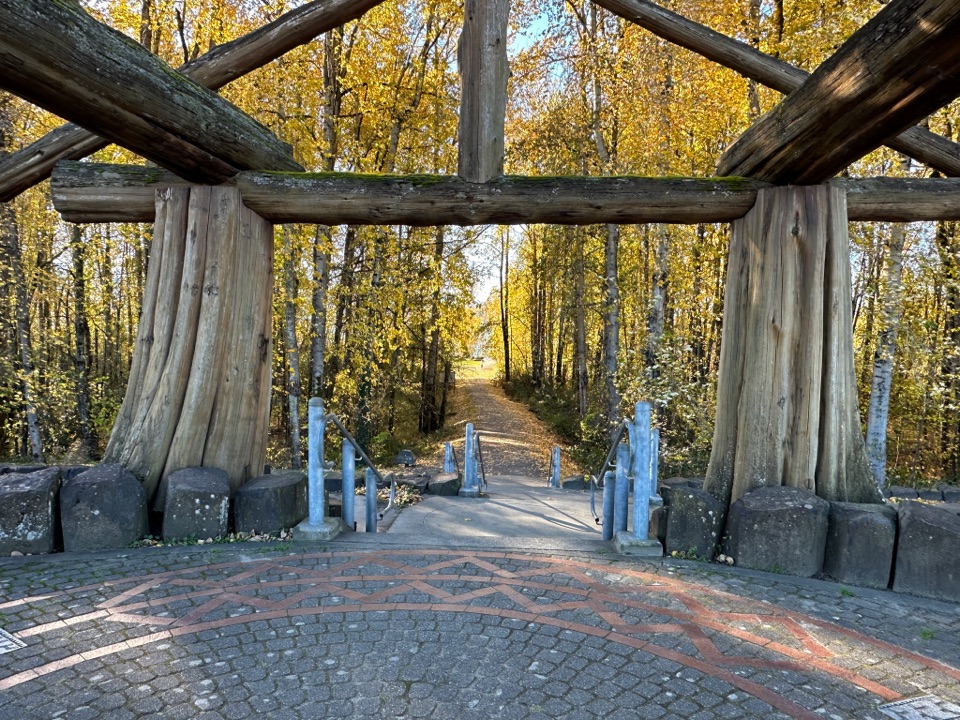
Columbia River Gorge National Scenic Area, OR · WA
Flat, paved 2-mile walk beside the Columbia River
Overview
Map & elevation
Plan your hike

The highest, rockiest slopes around here are a summer buffet for grizzly bears.
Columbia River Gorge Tour Guide
Parkwolf is a GPS audio tour guide for Columbia River Gorge National Scenic Area. As you drive, it chimes in with what’s ahead: hidden gems, upcoming stops, history, geology, and wildlife, right through your car’s speakers.
More stories near here in the app
“Fantastic app with many points of information… It’s great to just turn on while you’re driving and it gives you an audio tour of the national Park. We love it!!!!”


Trail guide
This flat, paved out-and-back follows the Columbia River for about 2 miles round trip, from Washougal Waterfront Park to South A Street and back. It is an easy urban walk rather than a wilderness hike; the river stays beside the path, and wetlands at the Sandy River Delta lie across the water.
The appeal is a close, level riverfront view rather than a climb or a remote Gorge setting. The starting waterfront was once the Hambleton Brothers Lumber Company sawmill; it closed in 2010. Today this route forms one link in the Gorge Towns to Trails effort. Keep this route separate from the park’s sub-mile loop and the longer Columbia River Connector route to Steamboat Landing: those add other paths and a different scope.
Walk east from the Waterfront Park parking lot to South A Street, then return along the same path. Allow about an hour. The pavement is described as ADA-accessible and flat. Dogs are allowed on leash, and no permit or parking pass is required. The park has benches, picnic tables and solar-powered restrooms; an overflow lot is left of the stop sign. Downtown dining along Pendleton Way or Main Street is a separate stop.
Wildlife
 267 sightingsBald EagleMost seen around 7 AMSighting map
 51 sightingsBlack BearMost seen around 7 PMSighting map
 136 sightingsAmerican PikaMost seen around 8 AMSighting map
 16 sightingsWapitiMost seen around 7 AMSighting map
 195 sightingsMule DeerMost seen around 7 AMSighting map
 74 sightingsChinook SalmonMost seen around 6 PMSighting map
Sighting maps show where each species has been reported across Columbia River Gorge. Wildlife moves, so no sighting is guaranteed.
Keep exploring
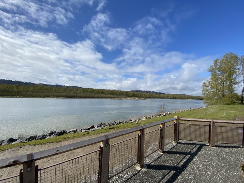 EasyGibbons Creek Wildlife Art Trail4.3 mi · 2 hr · 2.8 mi awayA flat levee loop with herons, hidden art, and two bridges.
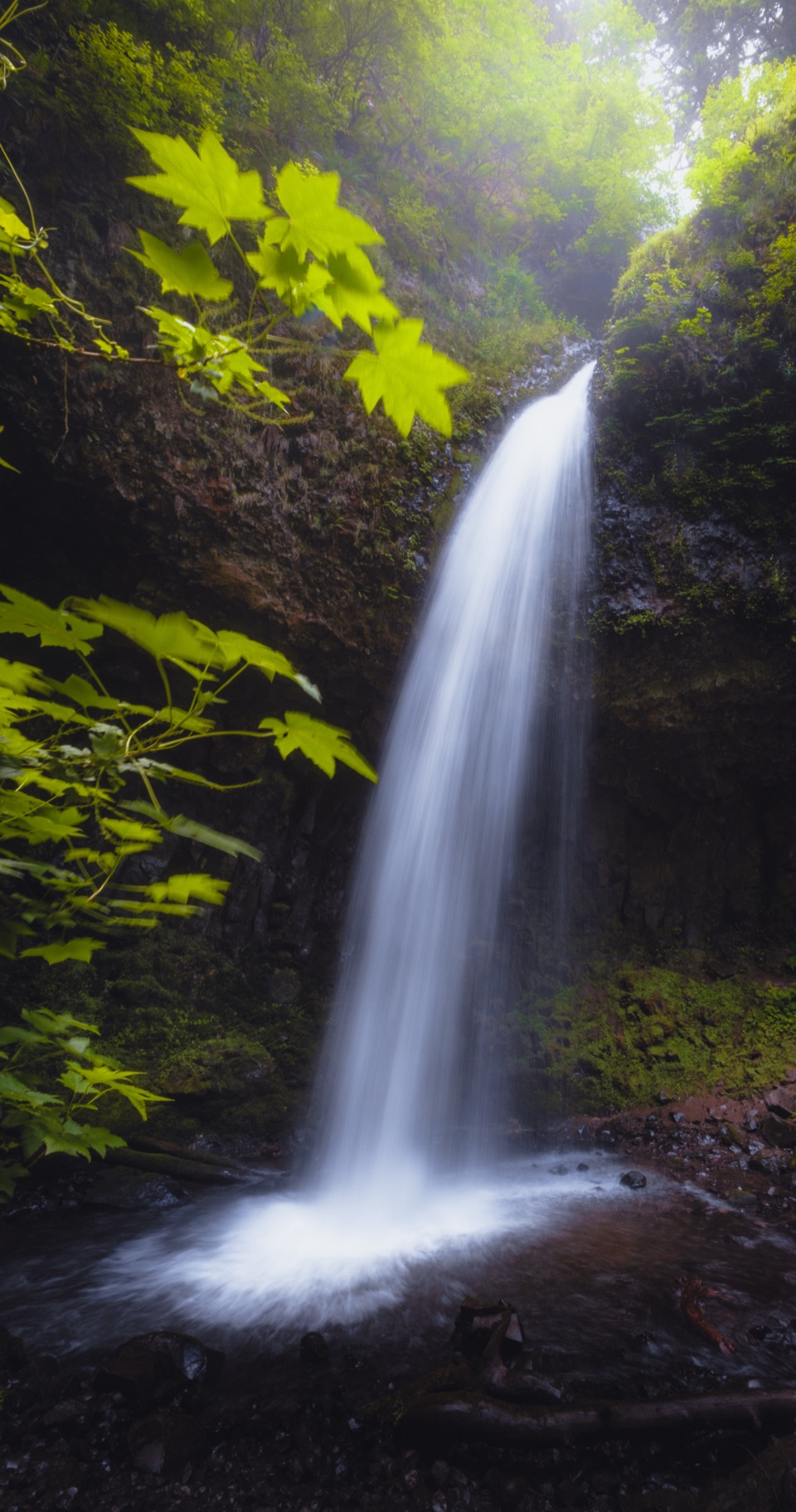 ModerateLatourell Falls Loop2 mi · 1.5 hr · 8.2 mi awayFollow Latourell Creek to two waterfalls and a hidden upper drop.
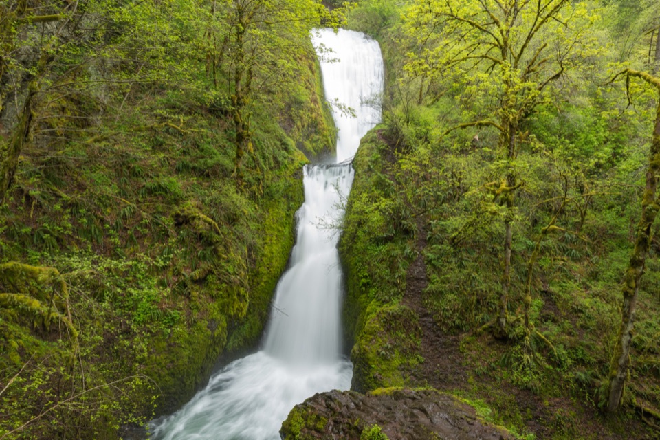 ModerateBridal Veil Falls Trail0.6 mi · 45 min · 9.6 mi awayA two-tier waterfall waits beyond ninety steps and a shady creek.
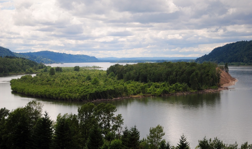 EasyBridal Veil Overlook Loop Trail0.3 mi · 20 min · 9.6 mi awayA brief paved loop for river cliffs and basalt landmarks.
 ChallengingCape Horn Loop Trail6.5 mi · 4.5 hr · 9.7 mi awayWaterfalls and river views reward a steep, varied Gorge loop.
 ModerateAngel's Rest Trail4.8 mi · 3.5 hr · 10 mi awayA steep climb to a rocky bluff above the Columbia Gorge.
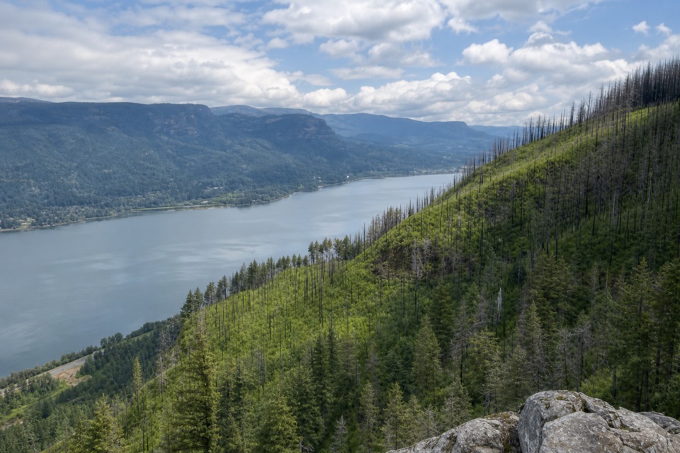 ChallengingAngel's Rest to Devil's Rest Loop10.7 mi · 7.5 hr · 10 mi awayA long Gorge loop from river views to a quieter forest summit.
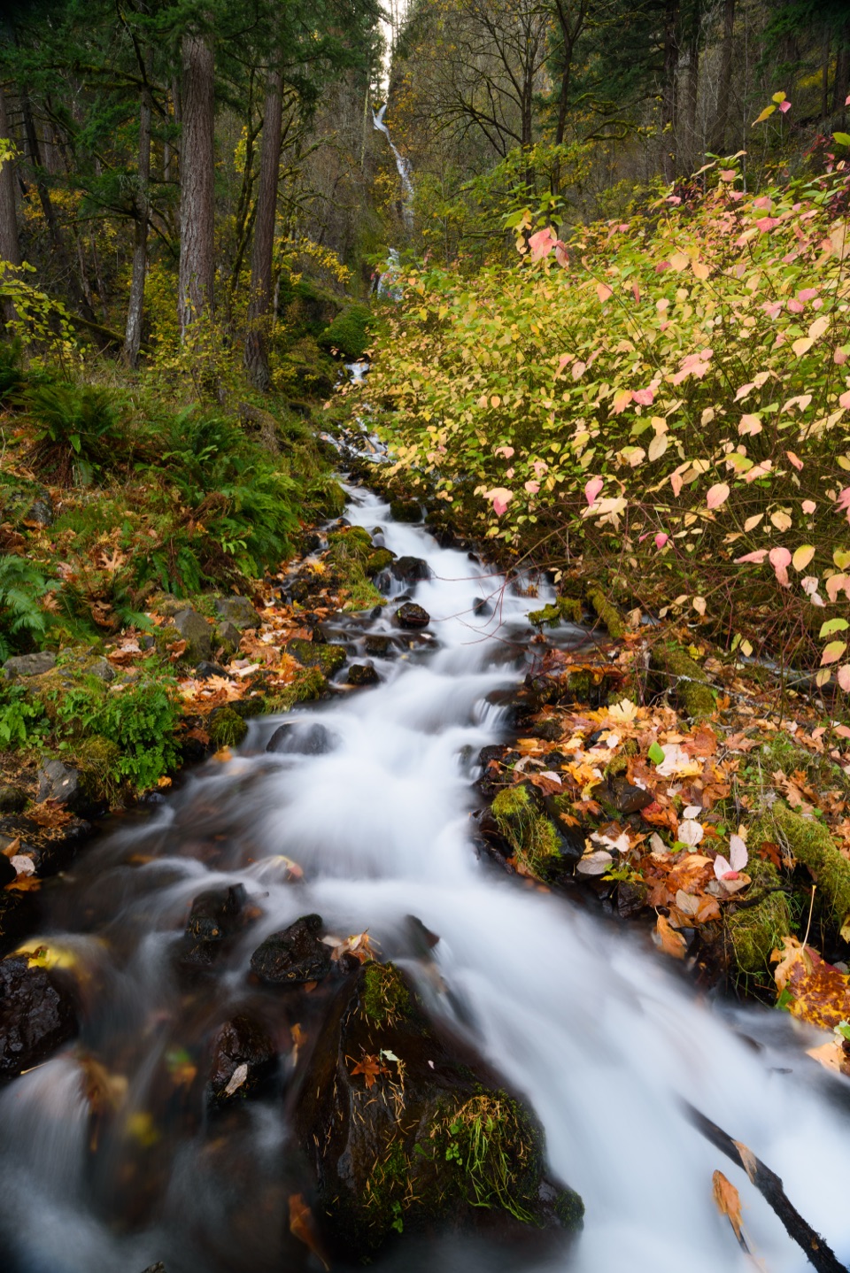 ModerateWahkeena Falls Trail to Lemmons Viewpoint1.5 mi · 1.5 hr · 12.1 mi awayA stone bridge, plunging falls, and a Gorge overlook on one climb.
 Visitor center · 2.6 mi awayGateway to the Gorge Visitor CenterA historic depot with a ten-foot Multnomah Falls painting.
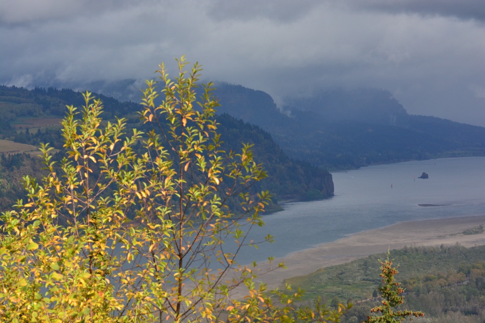 Sight · 6.4 mi awayPortland Women’s Forum State Scenic ViewpointThe classic roadside frame for Vista House at Crown Point.
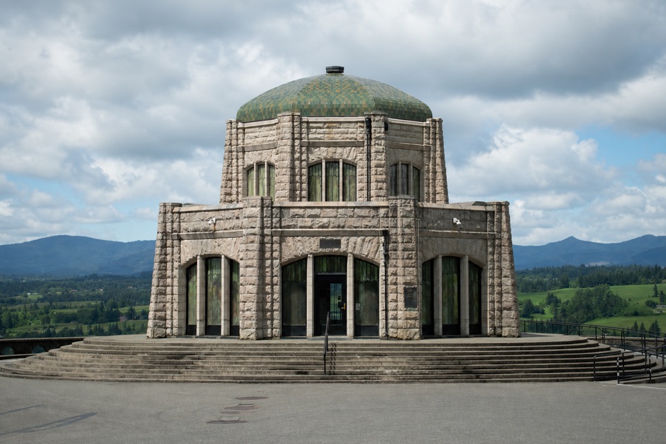 Sight · 7 mi awayVista House at Crown PointA 1918 sandstone observatory above a sweeping river gorge view.
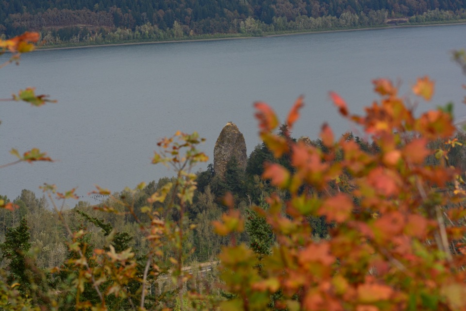 Sight · 7.2 mi awayRooster Rock State ParkThree miles of river access, with a separate clothing-optional beach.
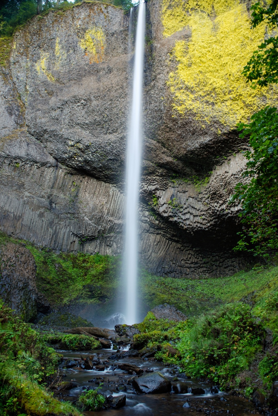 Sight · 8.3 mi awayLatourell FallsA paved walk reaches the lichen-bright plunge; loops climb to upper falls.
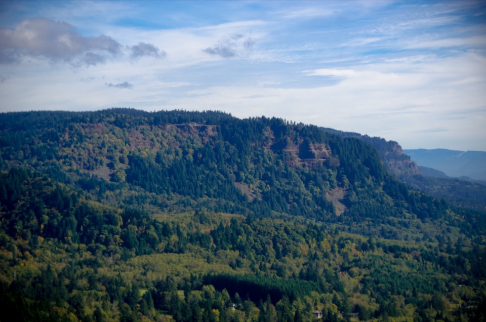 Sight · 8.8 mi awayNancy Russell Cape Horn OverlookA stone-walled Gorge perch at the end of a steep trail.
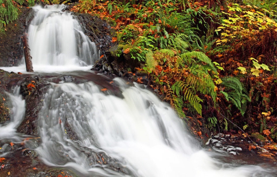 Sight · 9 mi awayShepperd’s Dell FallsA quick bridge-and-falls stop, with steps down to the creek.
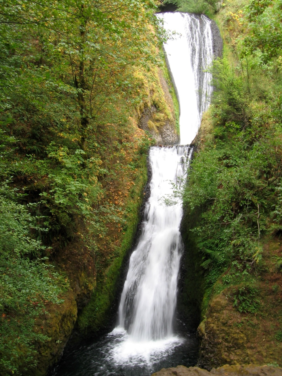 Sight · 9.6 mi awayBridal Veil FallsA steep falls trail and an easy bluff loop share one stop.
Parkwolf’s Columbia River Gorge ranking

The audio tour guide for the drive, plus offline maps, trails, and wildlife heatmaps for when the signal drops.



