Mount Sorrow Lookout in Daintree National Park

Sight · Daintree National Park

Mount Sorrow Lookout

A steep ridge climb earns Cape Tribulation and reef-shadow views.

Type
Sight
Nearest trail
2.8 km
Audio stories
7 nearby
  • Scenic viewpoint

Hear the audio tour

Mount Sorrow Trailhead

Overview

About Mount Sorrow Lookout

Why stop

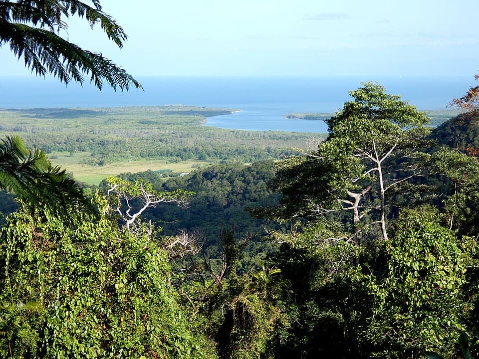
  • Clear-day views span the Daintree coast, Snapper Island and reef shadows.

Heads up

  • A steep, rocky Grade 4 return takes about six hours.

Map

Where it is

Loading the Daintree map
Full map
SightMount Sorrow Lookout-16.07662, 145.44028
Keep this map with you offline in the Parkwolf app

Plan your stop

Before you go

1 active Daintree alert

  • CautionCape Tribulation–Bloomfield Road: 4WD onlyMentions Cape Tribulation, referenced in this guideThe Cape Tribulation–Bloomfield Road is open from Cape Tribulation through to Wujal Wujal, but restricted to four-wheel-drive vehicles because adverse driving conditions have left the surface…Official details
Daintree alerts
A park ranger sits on a dash-mounted phone, talking, as Parkwolf’s Tour Guide plays “Army Cutworm Moths: A Grizzly Bear Buffet” on Grand Loop Road below Dunraven Pass in Yellowstone
Parkwolf Tour GuideThe highest, rockiest slopes around here are a summer buffet for grizzly bears.

Daintree Tour Guide

Your drive to Mount Sorrow Lookout, narrated.

Parkwolf is a GPS audio tour guide for Daintree National Park. As you drive, it chimes in with what’s ahead: hidden gems, upcoming stops, history, geology, and wildlife, right through your car’s speakers.

See the Daintree audio tour

Recorded for this place

Mount Sorrow Trailhead
0:00 / 0:27
“You're approaching the Mount Sorrow trailhead, where a steep rainforest hike leads to coastal views on a clear day.”

Plays as you drive up to Mount Sorrow Lookout in the Parkwolf Daintree Tour Guide.

More stories near here in the app

  • Cape Tribulation Village: Reef Trips and Lunch
  • Cape Trib Farm
  • Dubuji and Bamanga Muruku
  • Mason's Café and Waterhole
  • 38 audio storiesacross Daintree’s roads, triggered by GPS as you drive
  • Wildlife heatmapsfor Southern Cassowary, Saltwater Crocodile, Spectacled Flying-fox, and 13 more
  • Works offlinemaps, 22 trails, 36 places, and audio download before you lose signal
  • CarPlay readysimple controls built for the drive
★★★★★
“Fantastic app with many points of information… It’s great to just turn on while you’re driving and it gives you an audio tour of the national Park. We love it!!!!”
JMJamesApp Store review
Download Parkwolf on the App StoreGet Parkwolf on Google Play

4.7 from 8,600+ ratings

Guide

More about Mount Sorrow Lookout

The climb is the whole commitmentMount Sorrow Lookout is a natural viewpoint on the ridge above Cape Tribulation, about 680…

Mount Sorrow Lookout is a natural viewpoint on the ridge above Cape Tribulation, about 680 metres up. Getting there means the full 7 km return Mount Sorrow Ridge walk; allow about six hours for this Grade 4 hike. This is for fit, experienced bushwalkers ready for steep, rough going, not a quick pull-off.

The marked track has very steep sections, roots, rocks and log scrambles, and walkers have become lost here. Start well before 10 a.m., aim to leave the lookout before 2 p.m. and keep at least three hours of daylight for the return. Go back the same way. Avoid very hot, humid, wet or cloudy conditions; the trail gets slippery, and grippy footwear and leech protection are sensible. The trail is not wheelchair accessible. Park at the Mount Sorrow trailhead car park on Cape Tribulation–Bloomfield Road; the track starts across the road, about 150 metres beyond Kulki day-use area.

The coast from aboveOn clear days, the ridge-end view opens across the Daintree coast and Cape Tribulation, with…

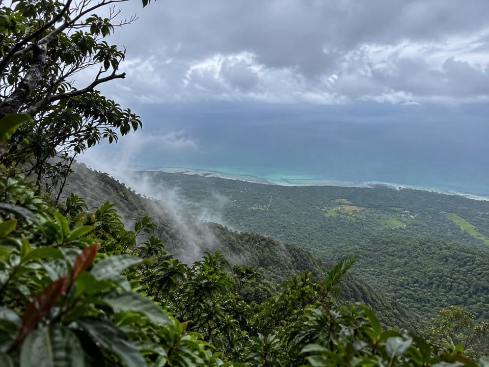
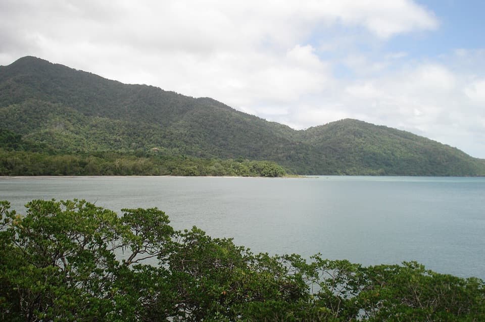
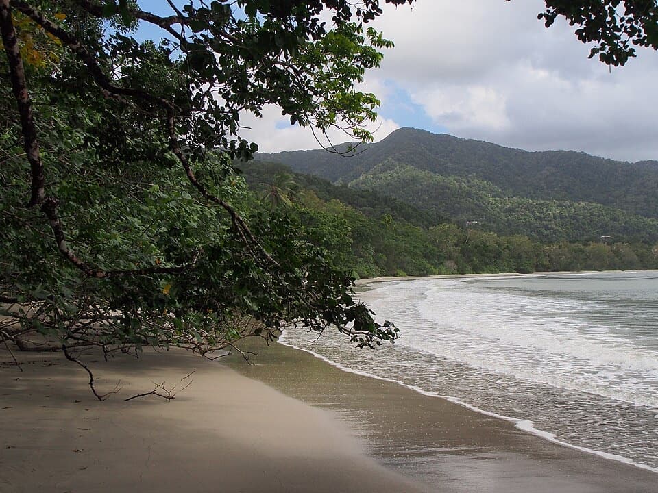
On clear days, the ridge-end view opens across the Daintree coast and Cape Tribulation, with Snapper Island and the shadows of fringing reefs offshore. Cloud can hide that detail, so this is a more rewarding climb when the forecast is clear and dry. For a photo, keep some of the forested slope in the frame below the coastline; it shows the drop from ridge to sea.

Rainforest changes as you climbThe trail starts in lowland rainforest with fan palms and pandanus, climbs through upland…

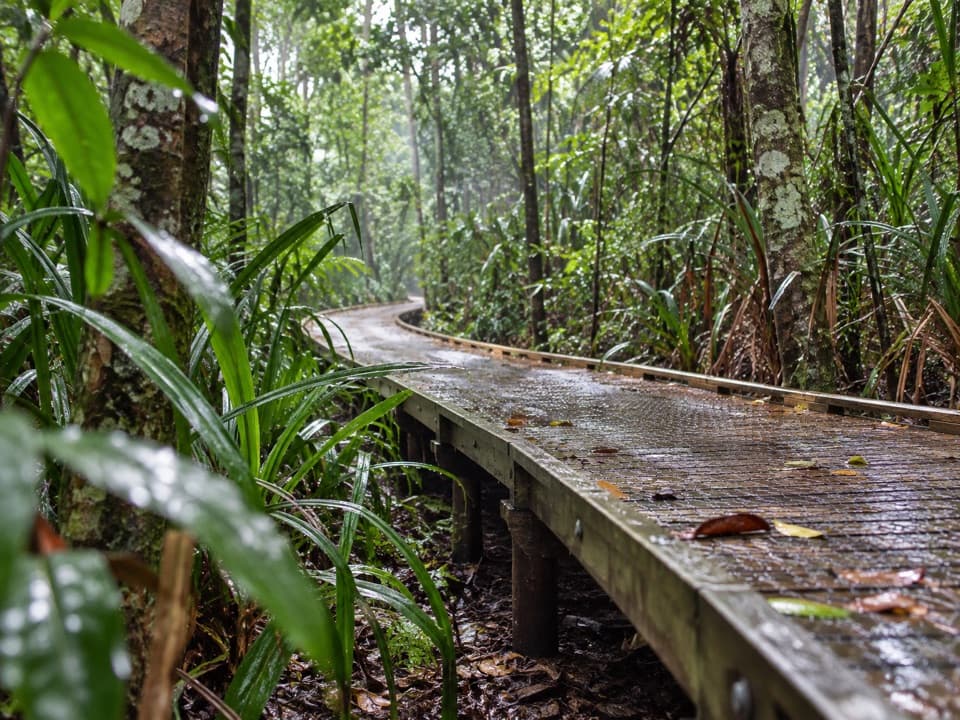
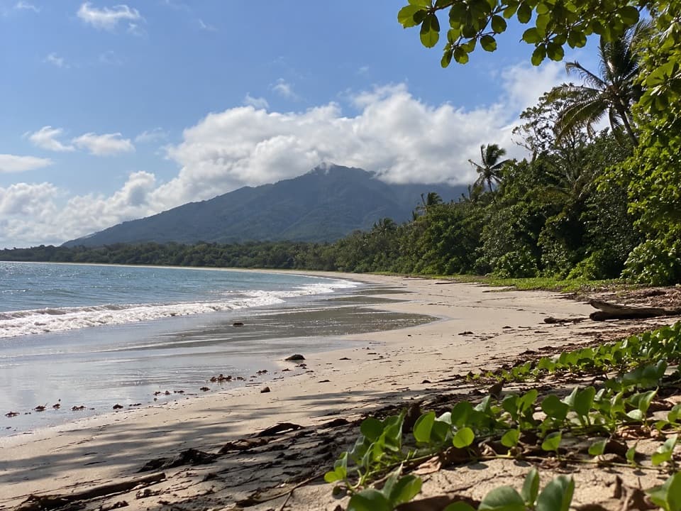
The trail starts in lowland rainforest with fan palms and pandanus, climbs through upland forest, then reaches a more open ridge shaped by wind. Look for Ryparosa kurrangii: this tree is restricted in Australia to the Cape Tribulation–Daintree River area, and its large white flowers can grow straight from the trunk. Cycads and orania palms are among the other plants higher on the ridge.

Wildlife on the ridgeLook for Boyd’s forest dragons close to the track.

Look for Boyd’s forest dragons close to the track. Around the lookout, watch for spangled drongos, topknot pigeons and butterflies riding the ridge wind. Sightings are a bonus, but the change from deep rainforest to open ridge forest is part of the walk either way.

Wildlife

Wildlife in Daintree

All Daintree wildlife maps

Sighting maps show where each species has been reported across Daintree. Wildlife moves, so no sighting is guaranteed.

Keep exploring

Near Mount Sorrow Lookout

See it all on the map

Trails nearby

More stops nearby

Parkwolf’s Daintree ranking

Top sights in Daintree

All 36 places
  1. 1Cape Tribulation Beach (Kulki)Beach
  2. 2Mossman River Lookout (Baral Marrjanga)Sight
  3. 3Mount Alexandra Lookout (Walu Wugirriga)Sight
  4. 4Daintree Discovery CentreSight
  5. 5Myall BeachBeach
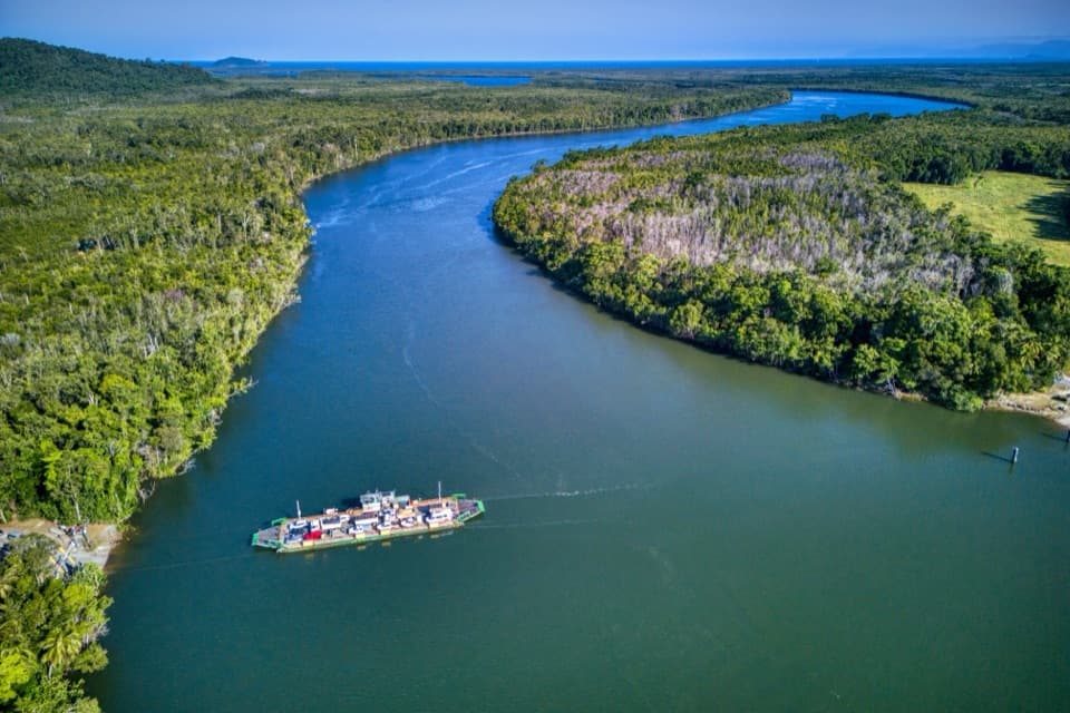
  6. 6Daintree River FerrySight

Take Parkwolf to Daintree.

The audio tour guide for the drive, plus offline maps, trails, and wildlife heatmaps for when the signal drops.

4.7 from 8,600+ ratings

Download Parkwolf on the App StoreGet Parkwolf on Google Play