Overview
About Upper Dark Horse Overlook
Why stop
- A signed endpoint with a clear southwest-facing canyon view.
Heads up
- The final half-mile comes after a longer remote approach.
Map
Where it is

The highest, rockiest slopes around here are a summer buffet for grizzly bears.
Dead Horse Point Tour Guide
Your drive to Upper Dark Horse Overlook, narrated.
Parkwolf is a GPS audio tour guide for Dead Horse Point State Park. As you drive, it chimes in with what’s ahead: hidden gems, upcoming stops, history, geology, and wildlife, right through your car’s speakers.
Recorded for this area
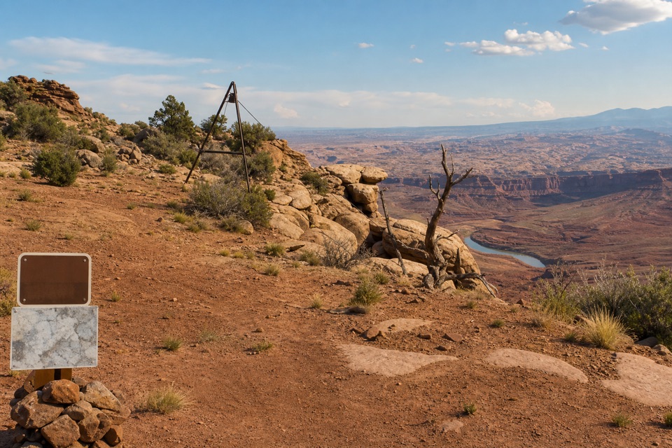
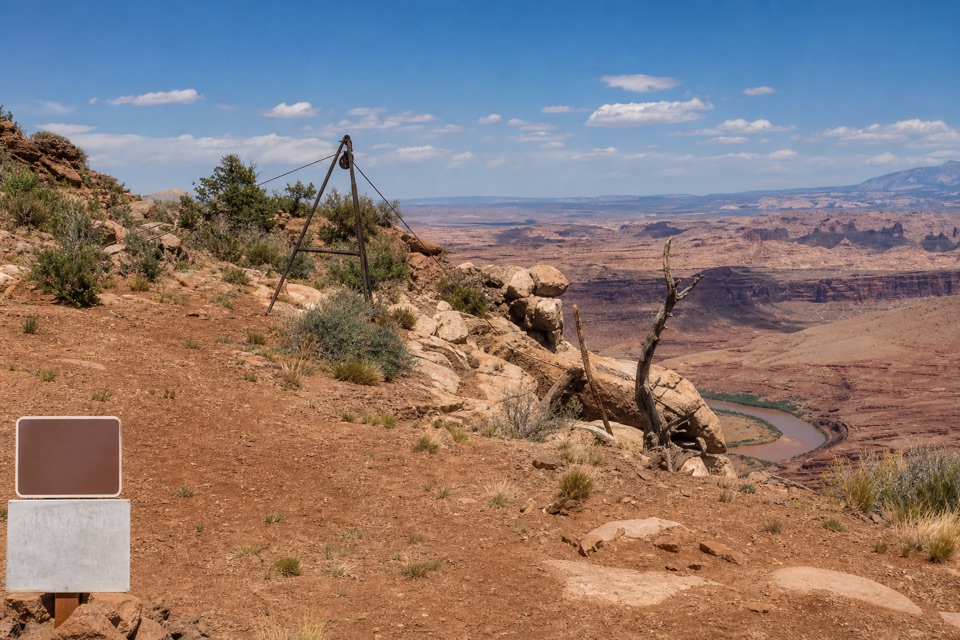
Intrepid Trailhead and Cable Line“You're approaching the Intrepid trailhead, the access for a longer outing to the Cable Line hoist. Its rusted tripod and pulley helped oil workers lift equipment from the river in the early nineteen fifties.”
Plays on the road 1.1 mi from Upper Dark Horse Overlook in the Parkwolf Dead Horse Point Tour Guide.
More stories near here in the app
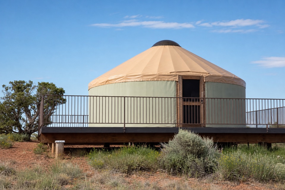
- Moenkopi Yurts
- Visitor Center Rim Trails
- Visitor Center and Desert View
- Kayenta Campground
- 11 audio storiesacross Dead Horse Point’s roads, triggered by GPS as you drive
- Wildlife heatmapsfor Raven, Whiptail Lizard, Fence Lizard, and 1 more
- Works offlinemaps, 21 trails, 22 places, and audio download before you lose signal
- CarPlay readysimple controls built for the drive
“Fantastic app with many points of information… It’s great to just turn on while you’re driving and it gives you an audio tour of the national Park. We love it!!!!”


Guide
More about Upper Dark Horse Overlook
Make the extra leg countUpper Dark Horse Overlook is a signed viewpoint at the far-east rim of Dead Horse Point State…
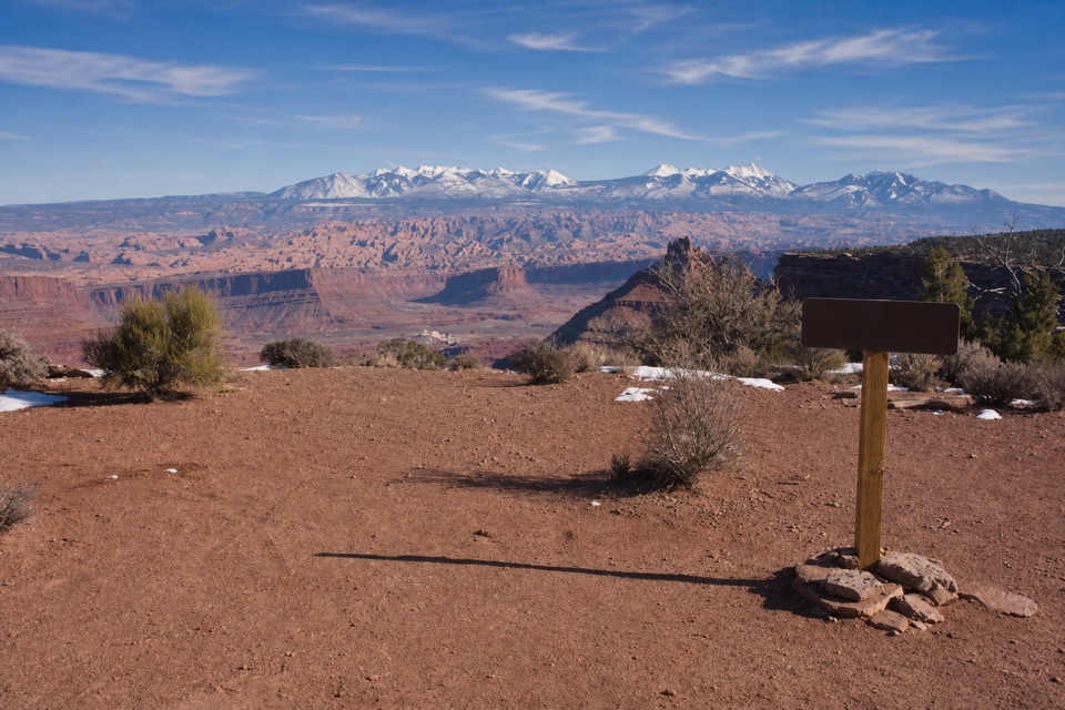
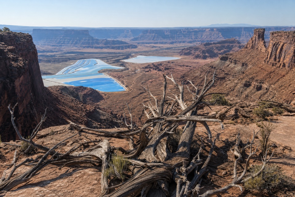
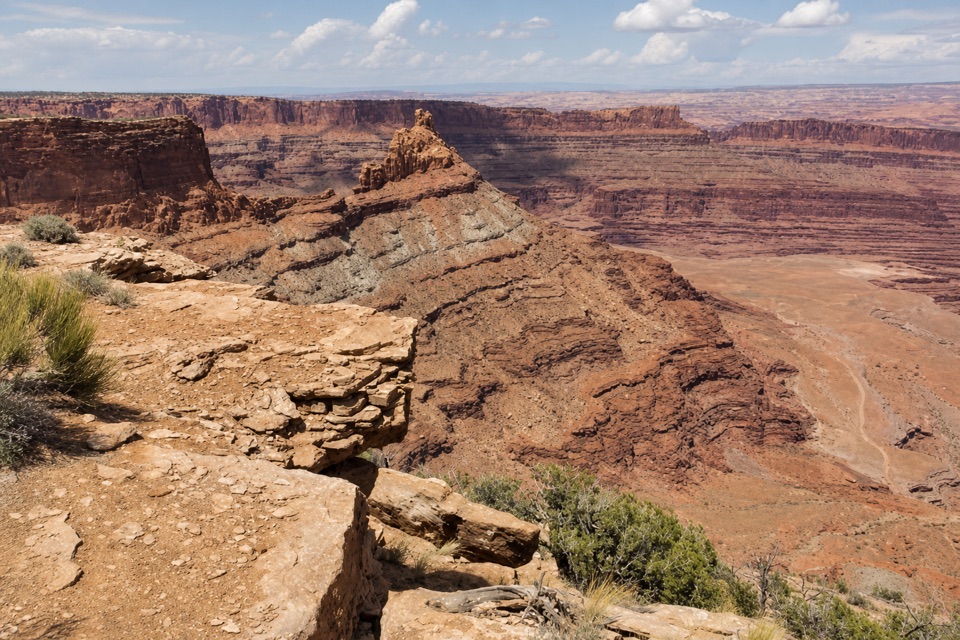
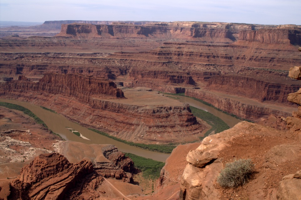
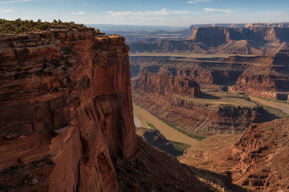
Upper Dark Horse Overlook is a signed viewpoint at the far-east rim of Dead Horse Point State Park, reached on the Upper Dark Horse doubletrack. The last section is about 0.5 miles from Miner’s Point and drops roughly 100 feet one way to a southwest-facing view over layered canyon country. It’s a good add-on if you’re already out on the mixed-use network; that half-mile is only the last piece of the approach.
Stay on the right forkFrom Miner’s Point, the main route follows the Big Chief loop to the Upper Dark Horse track.
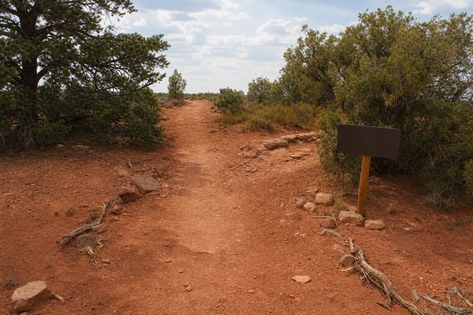
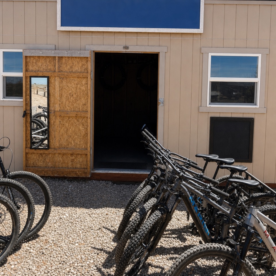
From Miner’s Point, the main route follows the Big Chief loop to the Upper Dark Horse track. About 0.2 miles down that track, Cable Line branches left; Upper Dark Horse keeps right and downhill to the signed viewpoint. The final stretch is described as smooth, but the far-east network is remote, has scattered obstacles, and requires basic route-finding. Use the maps at junctions and don’t rely on phone service. The main mixed-use trailhead is one mile south of the Entrance Station. A secondary trailhead and parking area sit by the north side of Visitor Center parking; mountain bikers should use it only when the main lot is full. A small restroom is back at the mountain-bike parking area, not out at the overlook. Dogs must stay leashed on the biking trails, and riders dismount at park-road crossings.
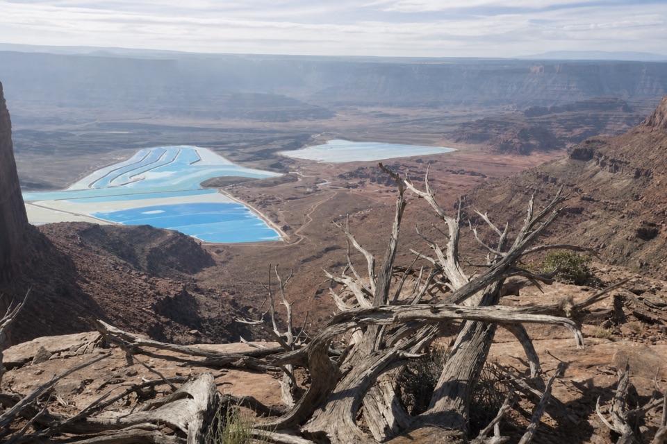
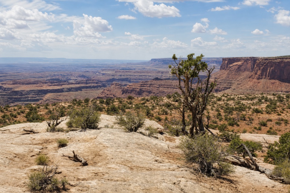
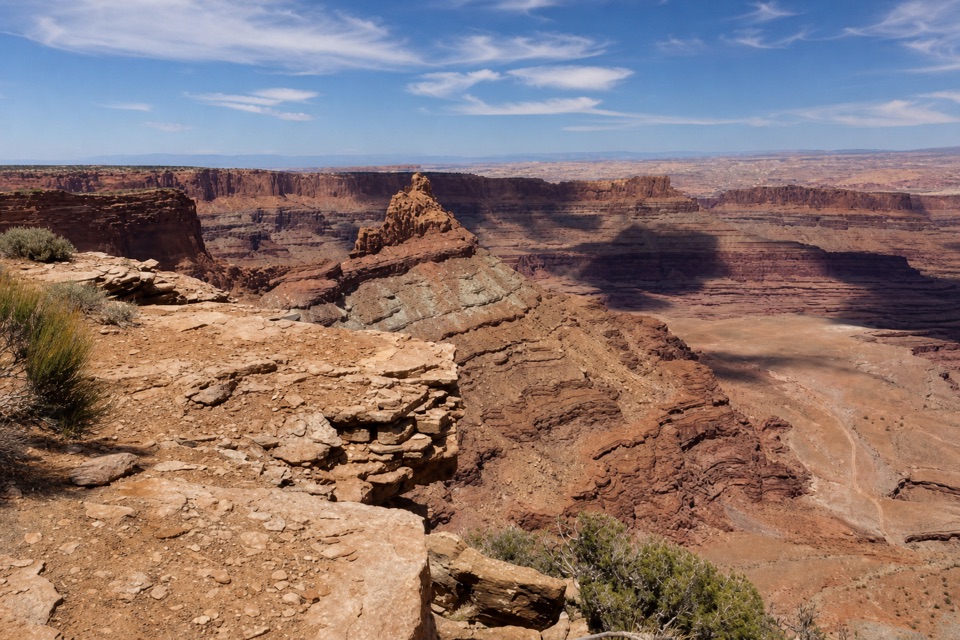
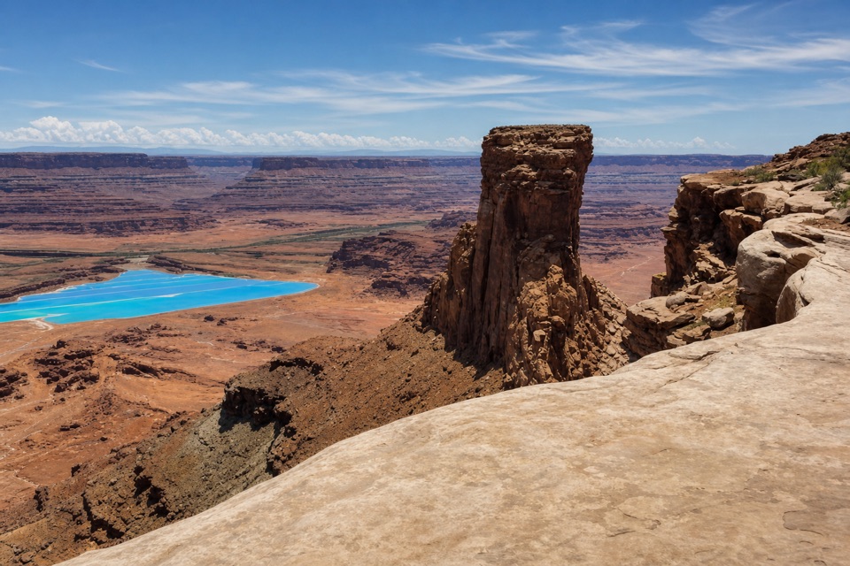
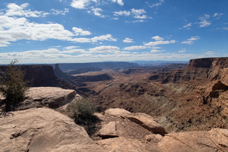
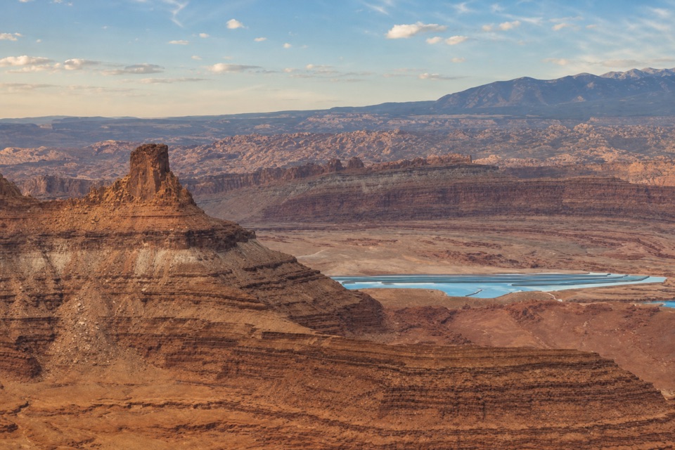
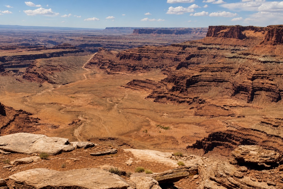
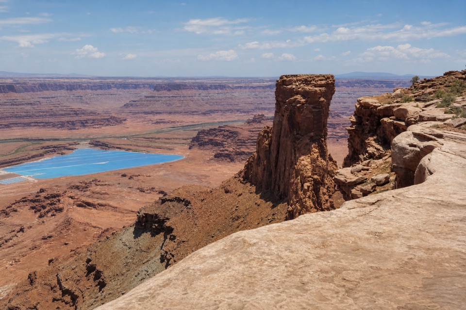
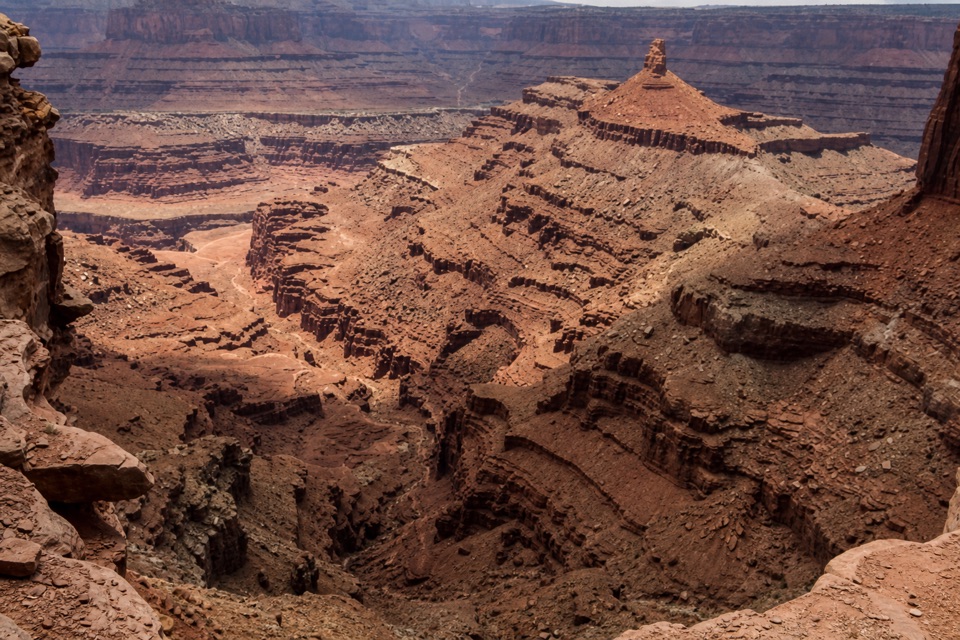
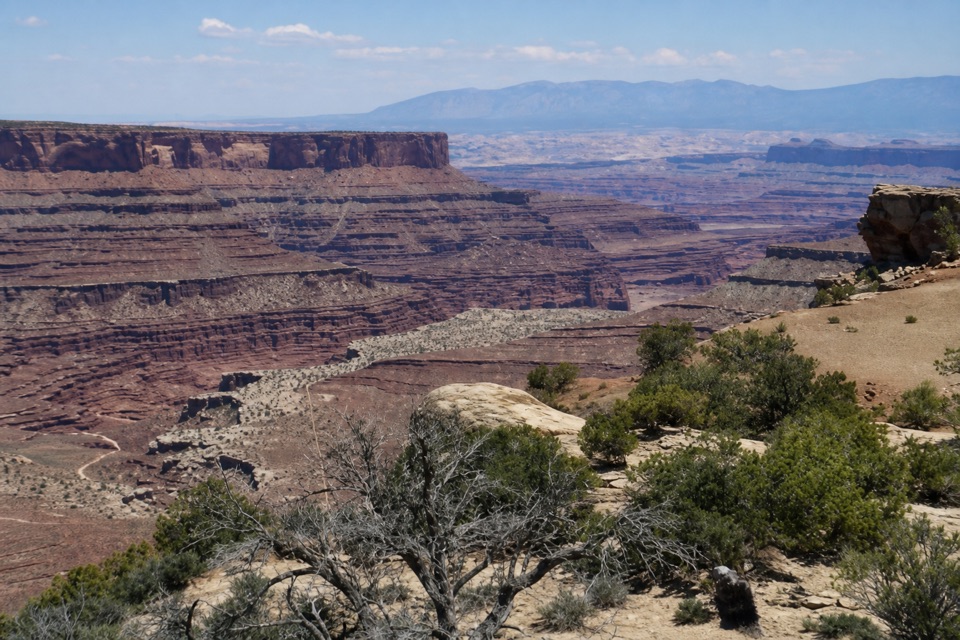
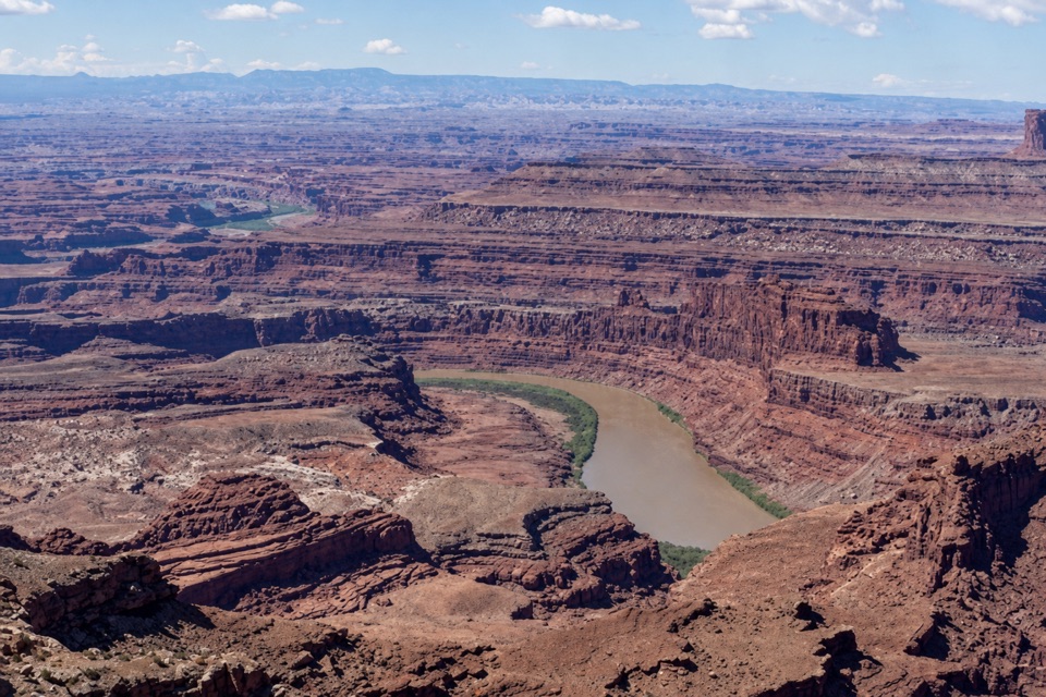
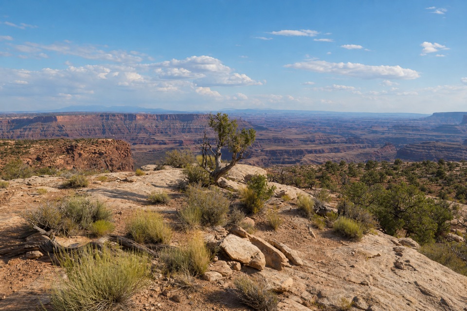
Let the rim set the frameThe view opens southwest across layered red and brown canyon country.
The view opens southwest across layered red and brown canyon country. For a stronger photo, keep a low strip of pale slickrock and one juniper in the foreground; that gives the broad view a sense of depth and scale. There are no named landmarks confirmed in this view, so the open canyon bands are the subject.
A bit of history on the neighboring trailThe nearby Cable Line branch leads toward an intact early-1950s oil-worker site.
The nearby Cable Line branch leads toward an intact early-1950s oil-worker site. Crews used an equipment cable to move supplies between the canyon bottom and their river operation about 2,000 feet below while a pipeline was being built. That history belongs to the separate Cable Line route, not this viewpoint; leave old cable, bolts, and wood where they are.
Wildlife
Wildlife in Dead Horse Point
 33 sightingsRavenMost seen around 6 PMSighting map
 16 sightingsWhiptail LizardMost seen around 10 AMSighting map
 34 sightingsFence LizardMost seen around 8 AMSighting map
 42 sightingsSide-blotched LizardMost seen around 9 AMSighting map
Sighting maps show where each species has been reported across Dead Horse Point. Wildlife moves, so no sighting is guaranteed.