Overview
About Miner’s Point
Why stop
- A broad canyon view reached by an easy dirt-road spur.
Heads up
- No tanks or oil machinery remain at the historic site.
Map
Where it is

The highest, rockiest slopes around here are a summer buffet for grizzly bears.
Dead Horse Point Tour Guide
Your drive to Miner’s Point, narrated.
Parkwolf is a GPS audio tour guide for Dead Horse Point State Park. As you drive, it chimes in with what’s ahead: hidden gems, upcoming stops, history, geology, and wildlife, right through your car’s speakers.
Recorded for this area
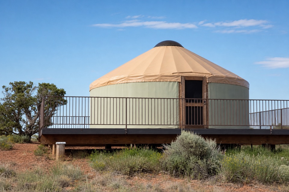
Moenkopi Yurts“Moenkopi Yurts are coming up, five overnight rentals with a private spur onto the Intrepid bike trails. Staying here gives you time for the park's dark sky, too.”
Plays on the road 1.3 mi from Miner’s Point in the Parkwolf Dead Horse Point Tour Guide.
More stories near here in the app
- Intrepid Trailhead and Cable Line
- Visitor Center Rim Trails
- The Dark Skin on the Cliffs
- Visitor Center and Desert View
- 11 audio storiesacross Dead Horse Point’s roads, triggered by GPS as you drive
- Wildlife heatmapsfor Raven, Whiptail Lizard, Fence Lizard, and 1 more
- Works offlinemaps, 21 trails, 22 places, and audio download before you lose signal
- CarPlay readysimple controls built for the drive
“Fantastic app with many points of information… It’s great to just turn on while you’re driving and it gives you an audio tour of the national Park. We love it!!!!”


Guide
More about Miner’s Point
A smaller eastern-edge stopMiner’s Point is a small viewpoint at the end of an old dirt-road spur on Big Flat Mesa,…
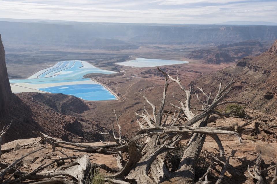
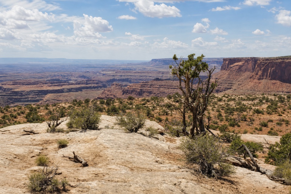
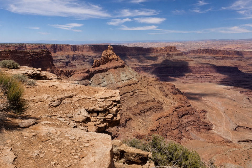
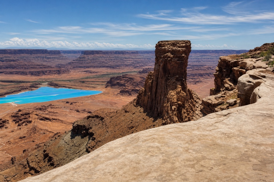
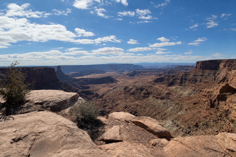
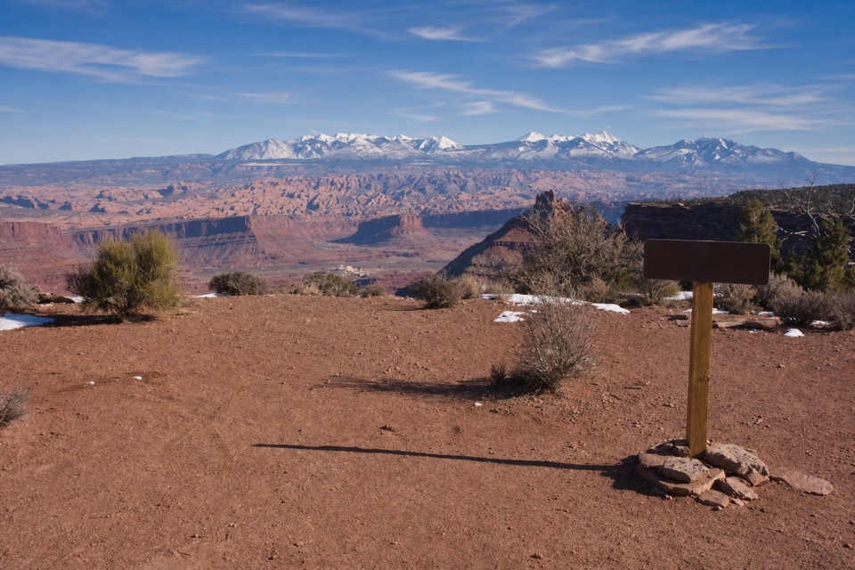
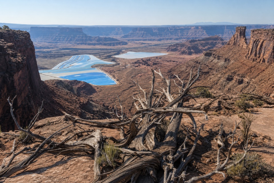
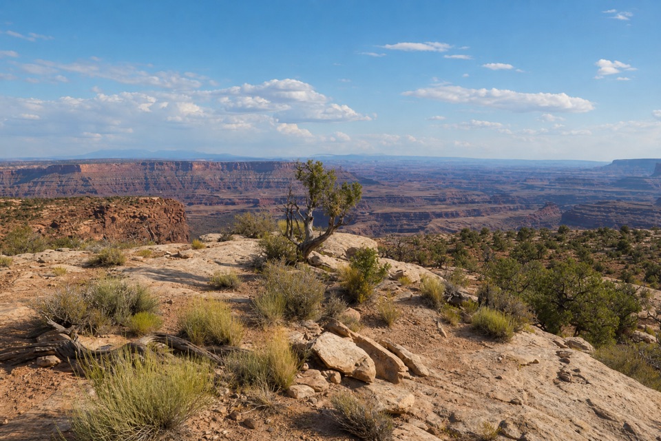
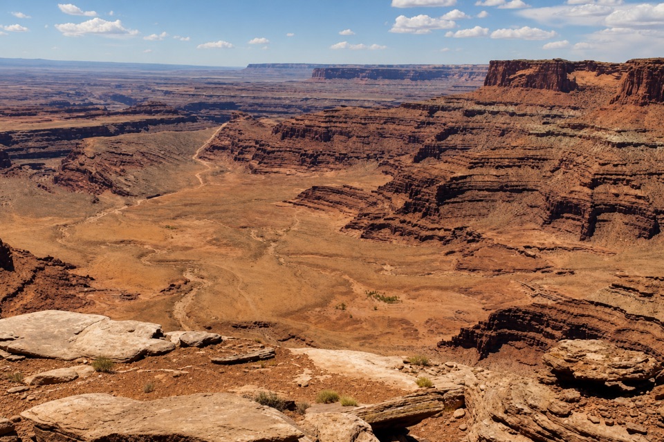
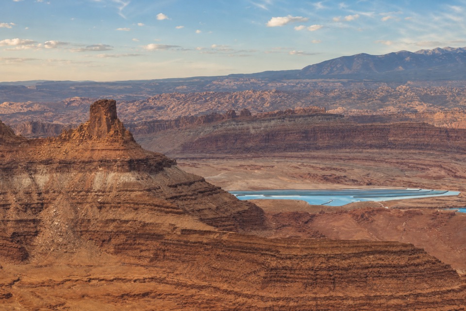
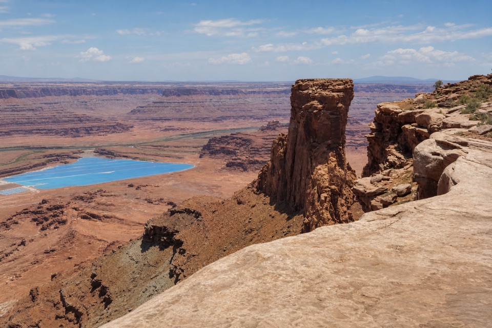
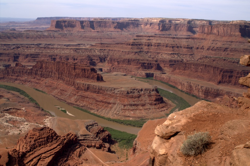
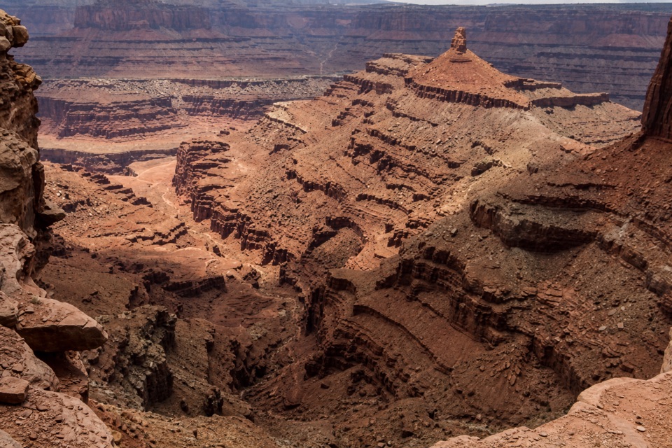
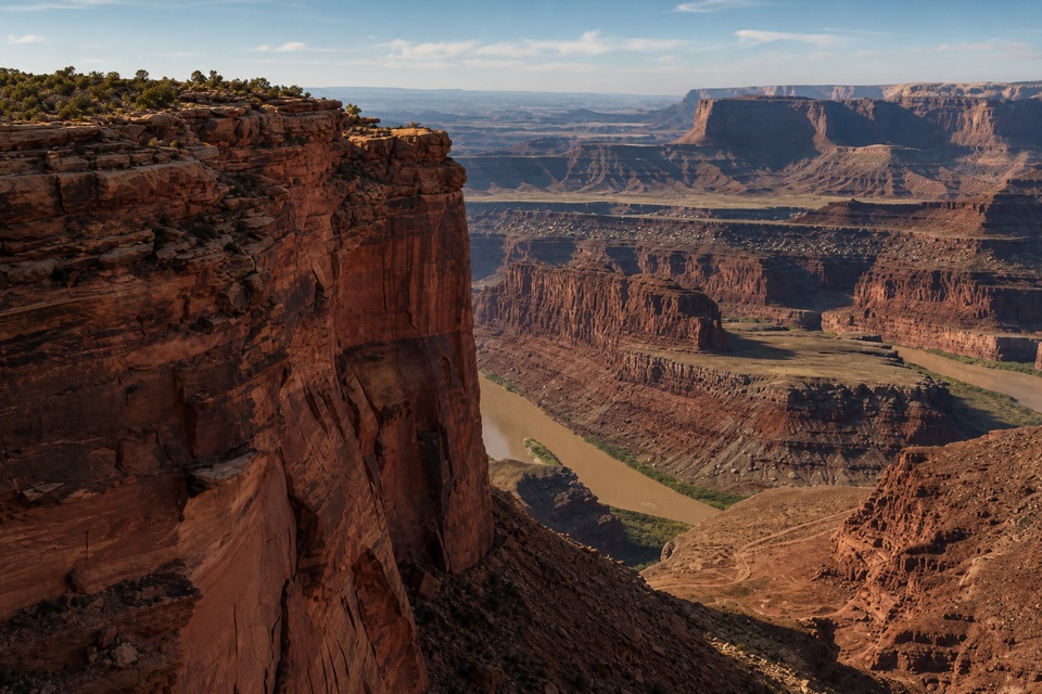
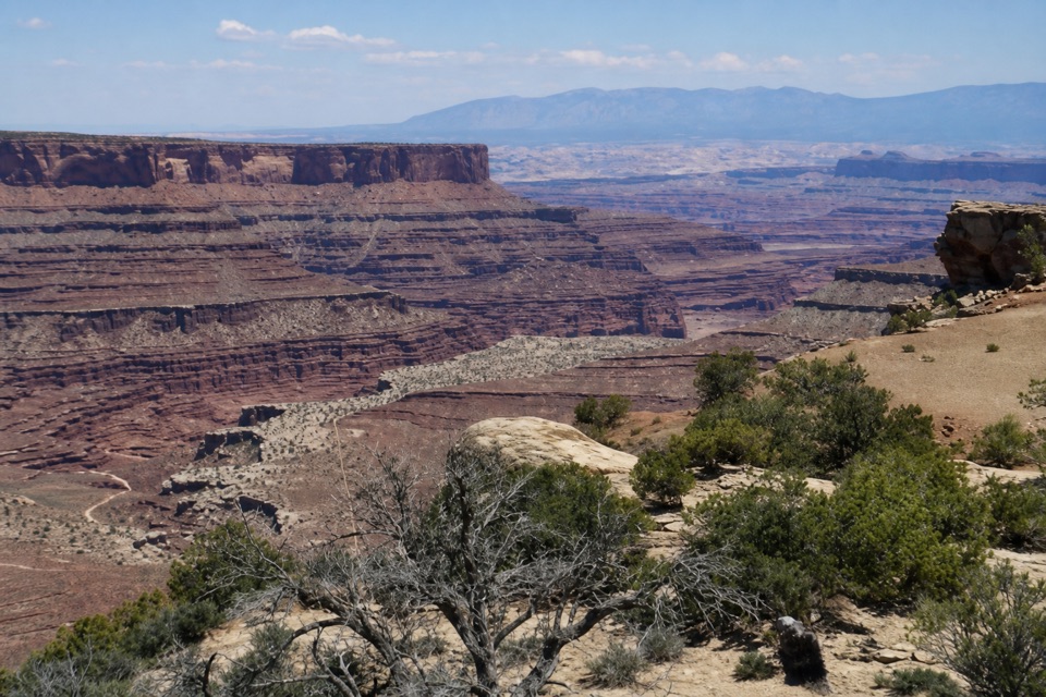
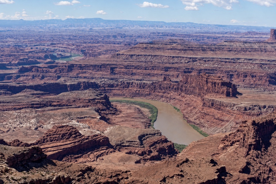
Miner’s Point is a small viewpoint at the end of an old dirt-road spur on Big Flat Mesa, reached from Big Chief. From its terminal loop, the Colorado River canyon and Intrepid Potash evaporation ponds spread below; in the distance, the La Sal, Abajo and Henry Mountains sit along the horizon. It’s a good side trip if you want an easy east-side trail and a view with a bit of industrial history. If you only have time for one overlook, prioritize the park’s signature Dead Horse Point overlook instead.
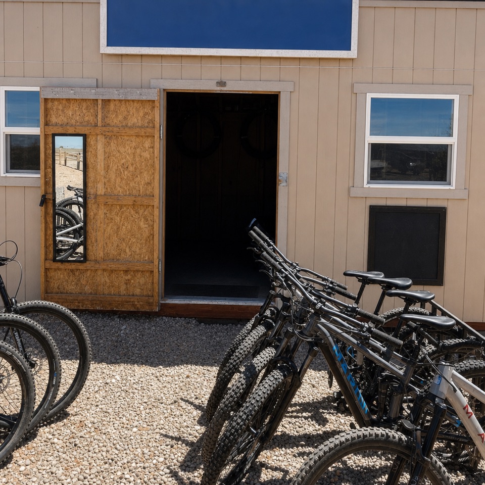
Getting out thereGo on foot or by bike via Big Chief; Miner’s Point follows a flat, smooth dirt doubletrack.
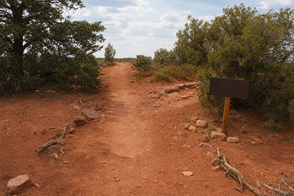
Go on foot or by bike via Big Chief; Miner’s Point follows a flat, smooth dirt doubletrack. Stay on its track when Upper Dark Horse branches off. The spur from Big Chief is 0.7 mile, and the complete out-and-back from the mountain-bike parking area is about 1.7 miles. Occasional patches of Kayenta sandstone break up the surface, but this is one of the easier rides in the east-side trail network.
The viewThe dirt road loops around the mesa edge, with open views over the river canyon and potash…
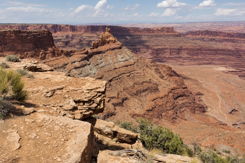
The dirt road loops around the mesa edge, with open views over the river canyon and potash ponds and three ranges on the far horizon. Include a strip of fractured sandstone rim in the foreground of a phone photo; it gives the layered canyon view some scale and shows where the mesa drops away.
An oil pipeline, not an overlook markerFour steel tanks, each with 2,500-barrel capacity, once stood here.
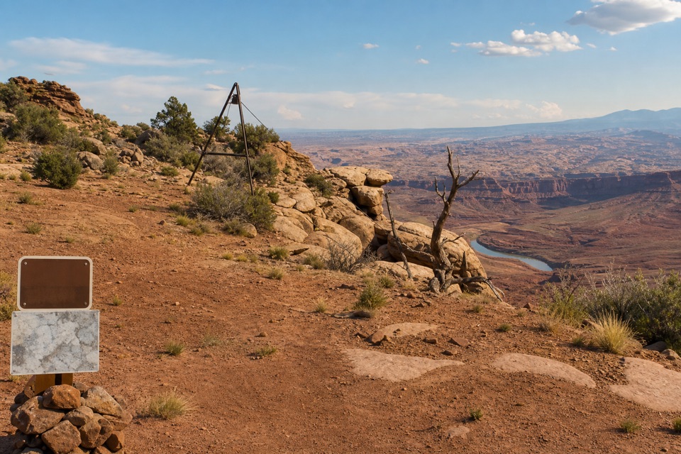
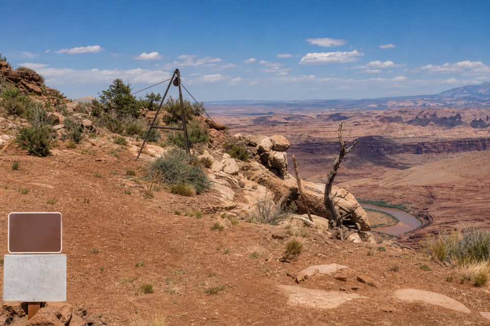
Four steel tanks, each with 2,500-barrel capacity, once stood here. Americol Petroleum pumped crude from Mason No. 1 near the Colorado River up to the tanks, about three miles and 1,760 feet higher, through 16,000 feet of pipe. The line was completed in spring 1951, but the new Potash Road made it obsolete soon after; the well was out of service by 1953 and the pipe was removed. The old road is the only trace left at the tank site. The rusted cable and tripod visitors may see elsewhere belong to the separate hauling route, not to Miner’s Point.
Wildlife
Wildlife in Dead Horse Point
 33 sightingsRavenMost seen around 6 PMSighting map
 16 sightingsWhiptail LizardMost seen around 10 AMSighting map
 34 sightingsFence LizardMost seen around 8 AMSighting map
 42 sightingsSide-blotched LizardMost seen around 9 AMSighting map
Sighting maps show where each species has been reported across Dead Horse Point. Wildlife moves, so no sighting is guaranteed.