
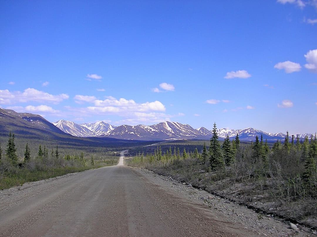
All Denali Highway trails
18 trails
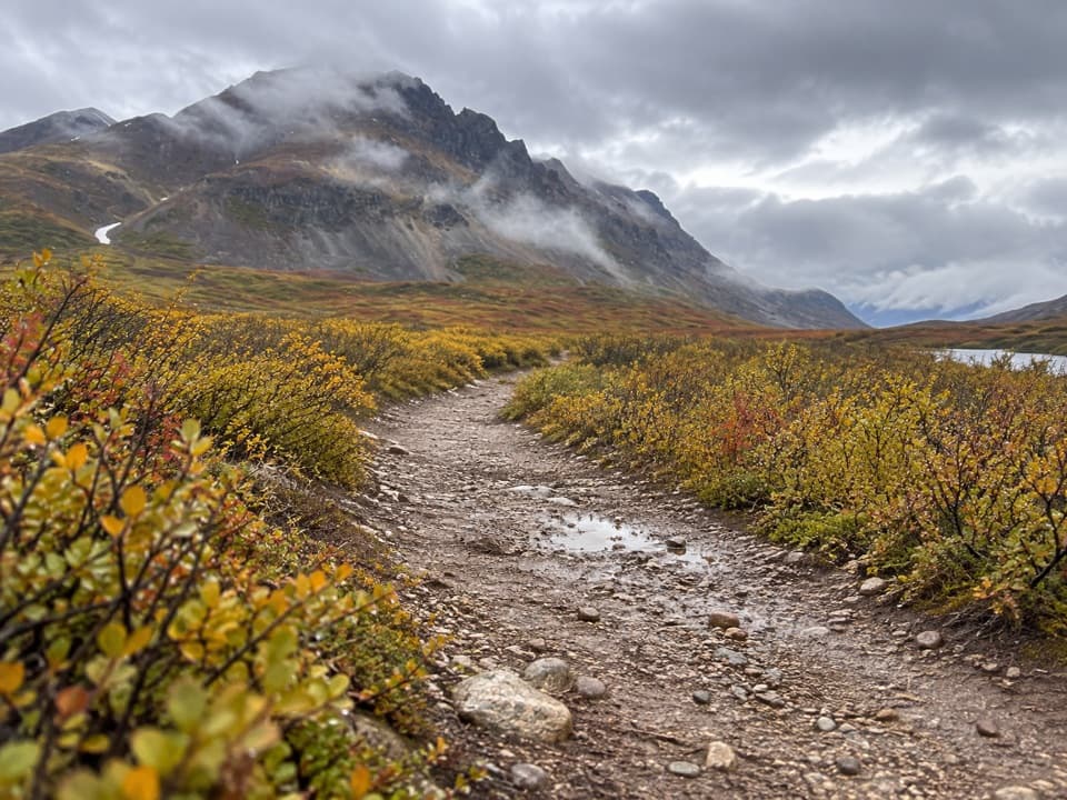 1Landmark Gap Trail NorthA gentle track to Landmark Gap Lake and its grayling pools.
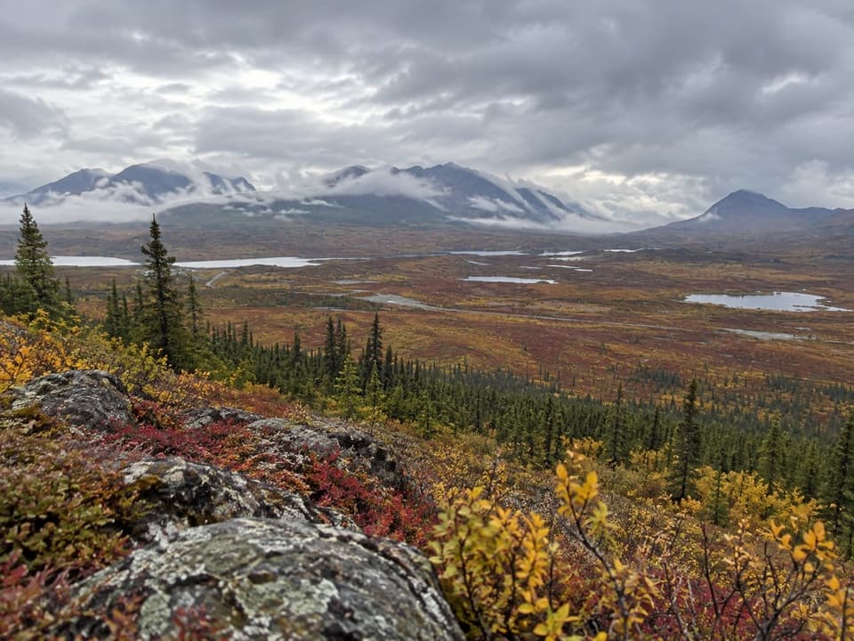 2Swede Mountain TrailA steep climb to broad views over the Tangle Lakes.
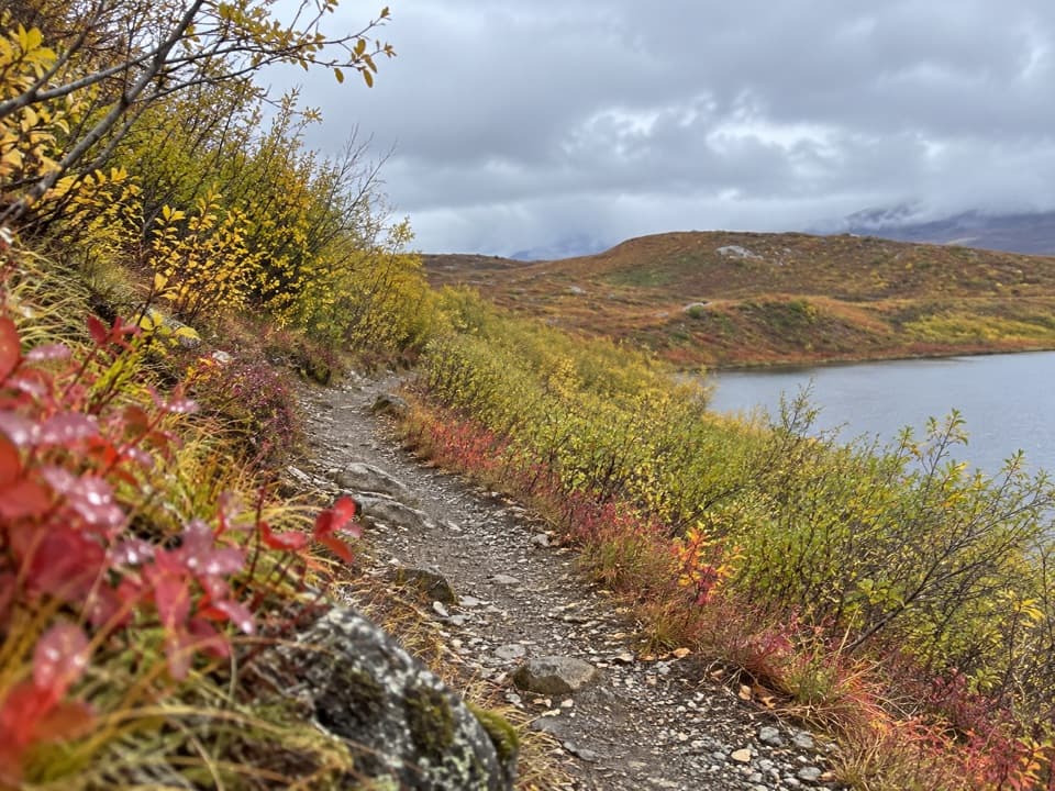 3Tangle Lakes Foot TrailClimb an esker for a quick, wide look over the Tangle Lakes.
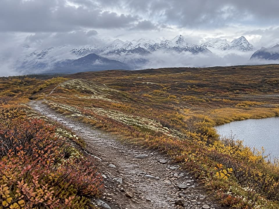 4Maclaren Summit TrailA full-day tundra hike to Sevenmile Lake with Alaska Range views.
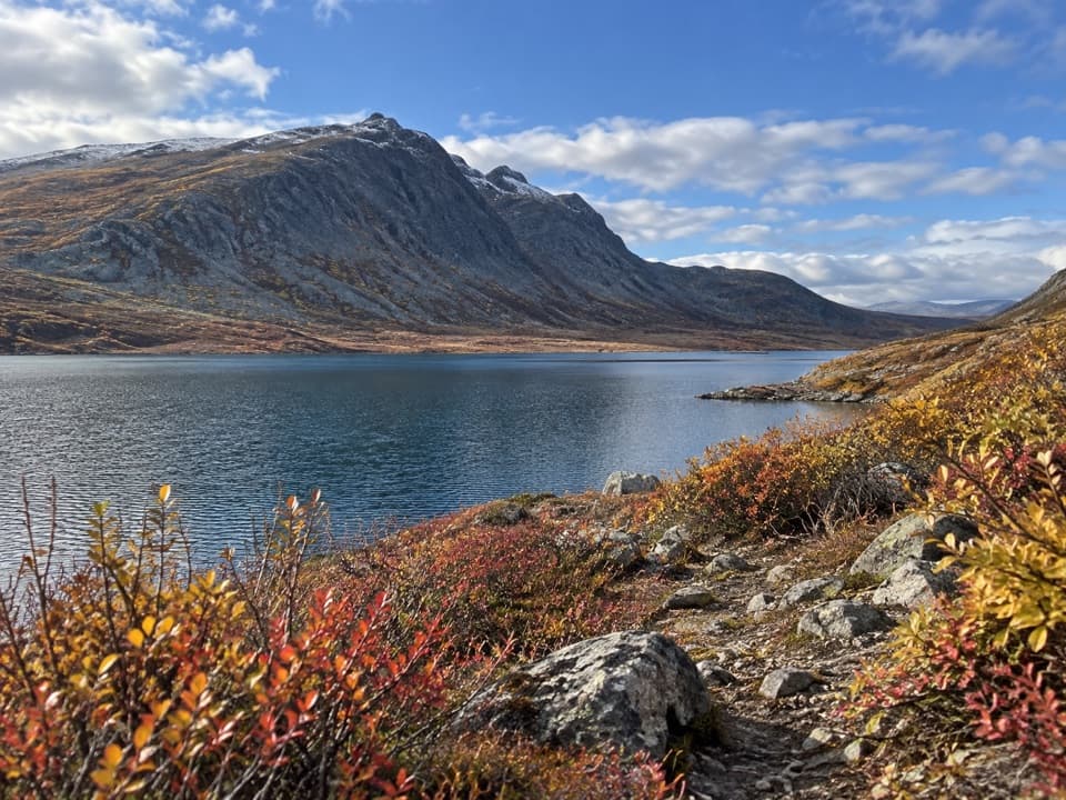 5Glacier Gap Lake to Sevenmile Lake TrailA cold creek crossing opens into two high tundra lakes.
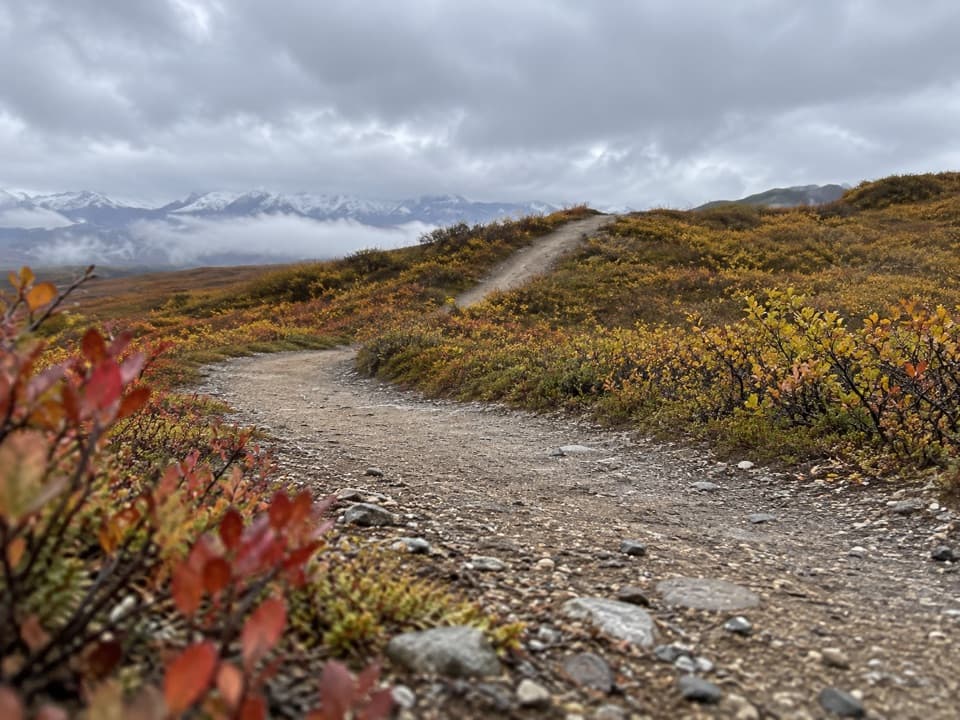 6Osar Lake TrailA long esker walk to the northwest shore of Osar Lake.
 7Maclaren River TrailA long ATV track into the Maclaren River valley
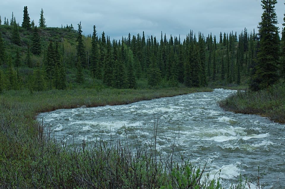 8Brushkana Creek TrailA rough benchland track leads toward the creek’s historic crossing.
 9Swede Lake TrailA six-mile out-and-back on the shared Swede Lake track
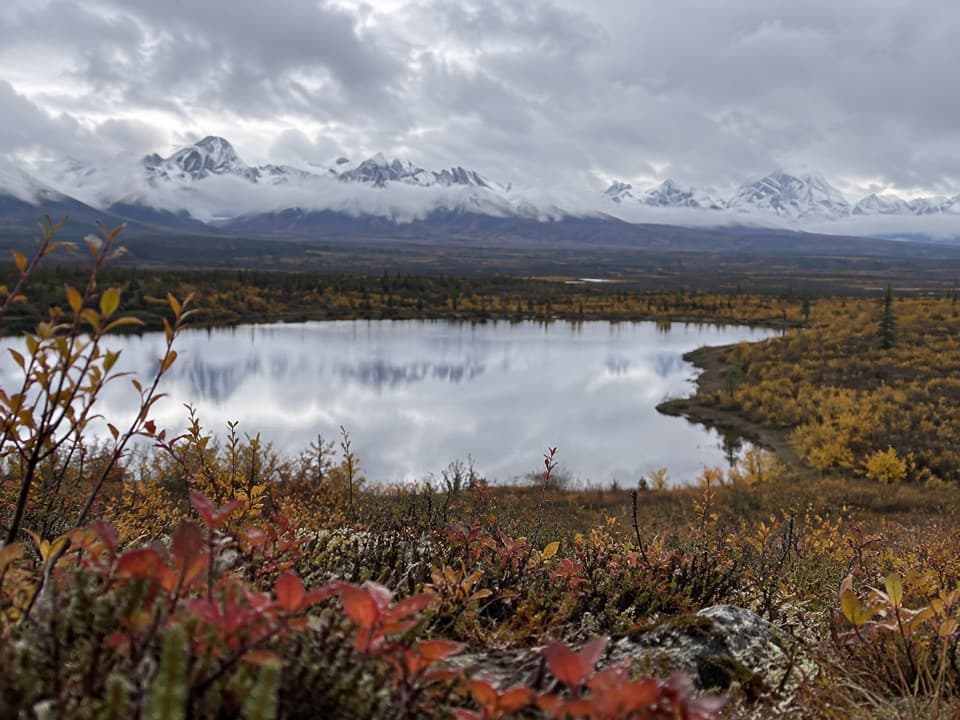 10Butte Lake TrailA rough out-and-back to Butte Lake on an ORV track.
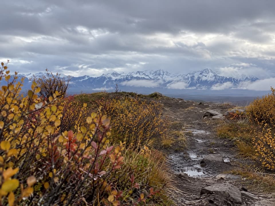 11Alaska Range Viewpoint TrailA brief climb opens a wide Susitna valley and Alaska Range view.
 12Butte Creek TrailA remote 8-mile round trip to Snodgrass Lake and Butte Creek.
 13Old Sevenmile Lake TrailA long, muddy hike to Sevenmile Lake's west side.
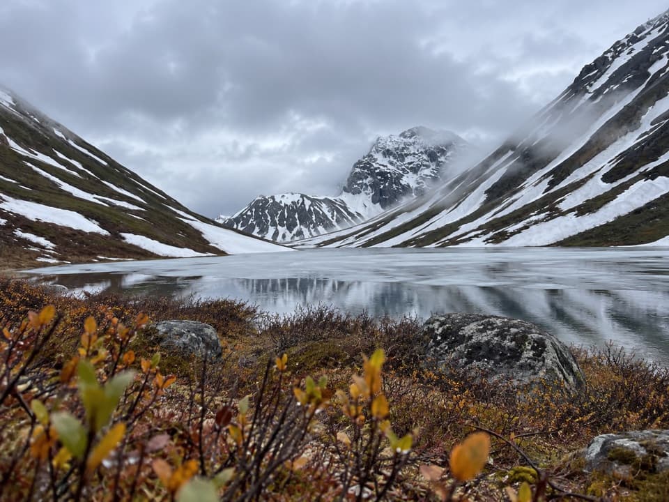 14Roosevelt Lake TrailA remote gravel track that stops short of the lake.
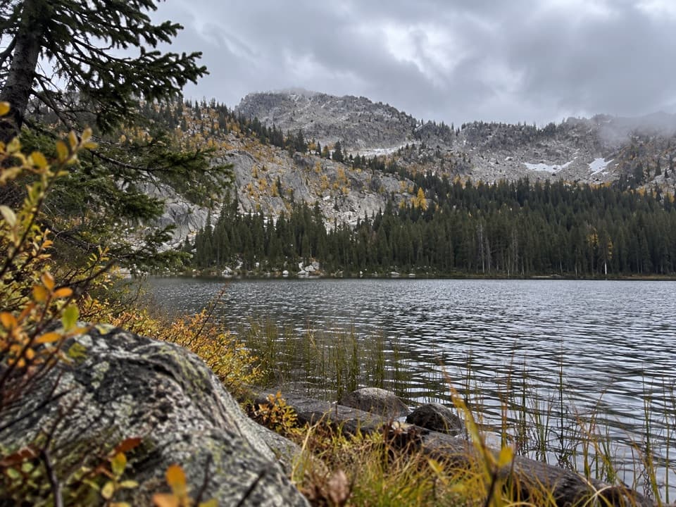 15Upper Dickey Lake TrailRemote 32-mile out-and-back to an undeveloped camp near Dickey Lake.
 16Hatchet Lake TrailA gravel track leads toward remote Hatchet Lake.
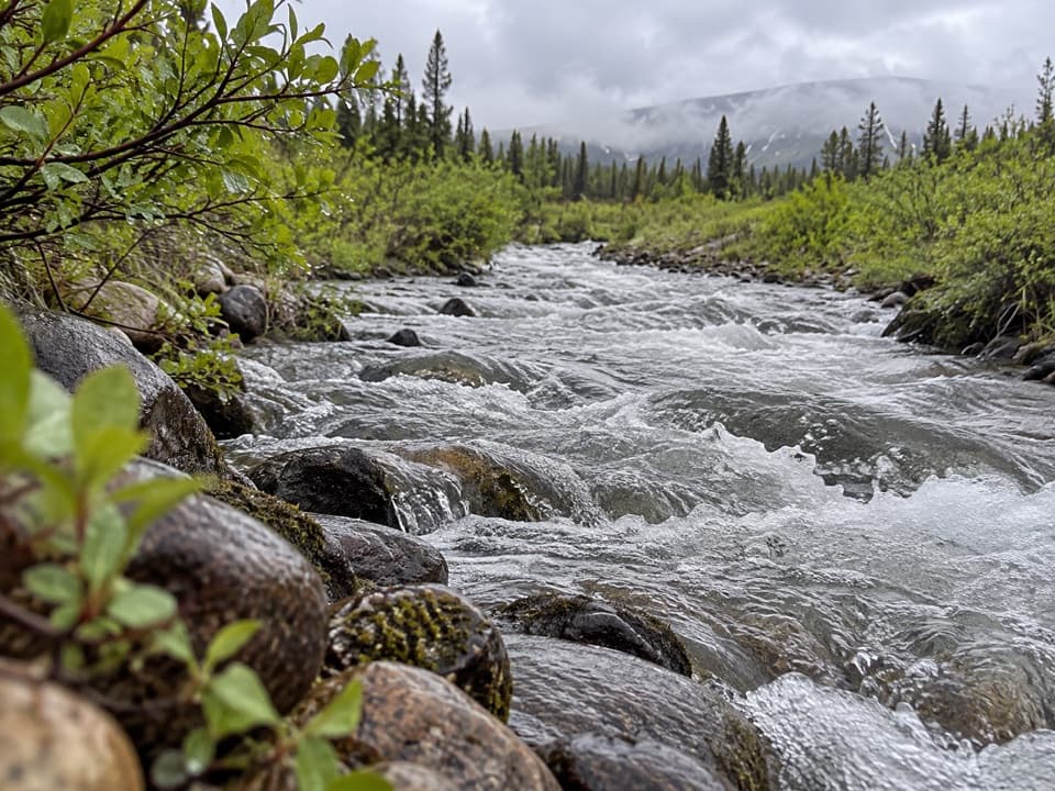 17Seattle Creek TrailA long creek-side walk that takes most of a day.
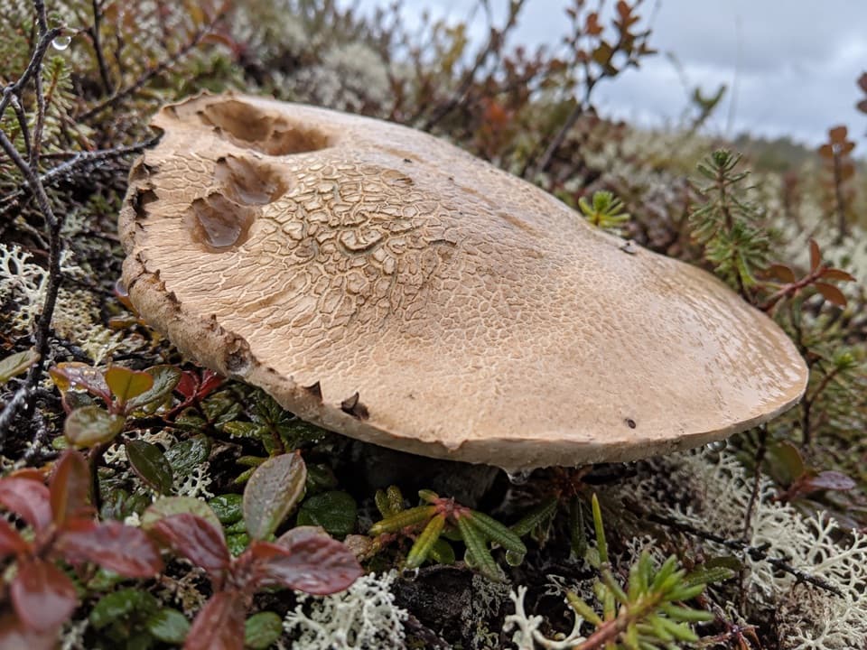 18Little Gorge TrailUnmaintained creek route with a steep climb and shared ATV use.

The highest, rockiest slopes around here are a summer buffet for grizzly bears.
Denali Highway Tour Guide
Denali Highway, narrated.
Parkwolf is a GPS audio tour guide for Denali Highway. As you drive, it chimes in with what’s ahead: hidden gems, upcoming stops, history, geology, and wildlife, right through your car’s speakers.
See the Denali Highway audio tourRecorded for this place
Maclaren Summit: A Short Walk Above the Valley0:00 / 0:30
“You're approaching Maclaren Summit, where the road crests at about four thousand feet above the Maclaren River valley. In clear weather, look for Mount Hayes rising beyond the river and Maclaren Glacier in the distance.”
Plays as you drive up to Maclaren Summit in the Parkwolf Denali Highway Tour Guide.
More stories near here in the app
- Why Moving Ice Cracks
- A Flagpole High on Denali
- Why Tundra Plants Hug the Ground
- Spinning for Supper
- 96 audio storiesacross Denali Highway’s roads, triggered by GPS as you drive
- Wildlife heatmapsfor Moose, Caribou, Bald Eagle, and 10 more
- Works offlinemaps, 18 trails, 27 places, and audio download before you lose signal
- CarPlay readysimple controls built for the drive
“Fantastic app with many points of information… It’s great to just turn on while you’re driving and it gives you an audio tour of the national Park. We love it!!!!”

