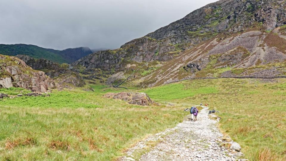
Parking
Ffordd Glan Môr Car Park, Harlech, LL46 2UG; toilets are available. Start from the seaward side and use designated spaces.
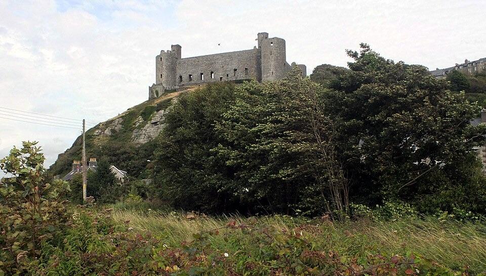
Eryri National Park, WA
Beach, dunes and steps to a castle view, then streets back
Photo: habiloid, CC BY-SA 2.0
Overview
Map & elevation
Plan your hike

The highest, rockiest slopes around here are a summer buffet for grizzly bears.
Eryri Tour Guide
Parkwolf is a GPS audio tour guide for Eryri National Park. As you drive, it chimes in with what’s ahead: hidden gems, upcoming stops, history, geology, and wildlife, right through your car’s speakers.
See the Eryri audio tourRecorded for this area
Harlech Castle and Town“Harlech Castle is coming up, with dunes, coast and mountains spread beyond its walls.”
Plays on the road 0.7 km from the trailhead in the Parkwolf Eryri Tour Guide.
More stories near here in the app
“Fantastic app with many points of information… It’s great to just turn on while you’re driving and it gives you an audio tour of the national Park. We love it!!!!”


Trail guide
Branwen Walk is a 3.1-mile (5 km) circular walk from Harlech through beach and dunes to a view of the castle, returning through town. Allow about two hours. It is a good mix of coast and history, though the return is mostly on streets and pavement.
From the car park the walk heads onto Harlech Beach and follows the sand for about 1 km before leaving at a red dune marker and threading back through the dunes. A railway crossing and a short pavement section lead to a main-road crossing, then steps climb past a cave to the payoff: an open view over Castell Harlech. Streets including Pentre'r Efail, Tryfar, Twtil and Ffordd Pen Llech take you past the castle and railway station and back to the start.
Rated moderate, and best suited to walkers with some countryside experience and reasonable fitness. Terrain is low and coastal, with short climbs to about 55 m and a flight of steps on the inland leg. Footing changes often: soft sand, dune paths, steps, then hard pavement.
Three points need care and attention. Cross the railway line carefully at the marked crossing. Cross the main road only when you have a clear view in both directions. The steps past the cave are a steady climb and call for sure footing.
Start from Ffordd Glan Mor Car Park, Harlech, LL46 2UG. The car park has toilets.
Dogs are allowed on public footpaths and open-access land while kept under close control. On open access land they must be on a lead no longer than 2 m from 1 March to 31 July. Part of Harlech Beach is a dog-exclusion area from 1 April to 30 September, so check the signs at the beach access before setting out with a dog in that period.
The first half delivers the strongest scenery: broad sand, dune ridges, and then the elevated look across to the castle. Be aware that much of the return is on streets and pavement through the town rather than wild coast, so the walk finishes in a built-up setting rather than on open ground.
Wildlife
 80 sightingsGrey HeronMost seen around 7 AMSighting map
 10 sightingsEuropean BadgerMost seen around 8 PMSighting map
 17 sightingsTawny OwlMost seen around 6 AMSighting map
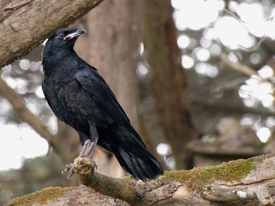 36 sightingsCommon RavenMost seen around 8 AMSighting map
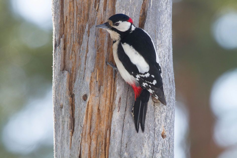 21 sightingsGreat Spotted WoodpeckerMost seen around 7 AMSighting map
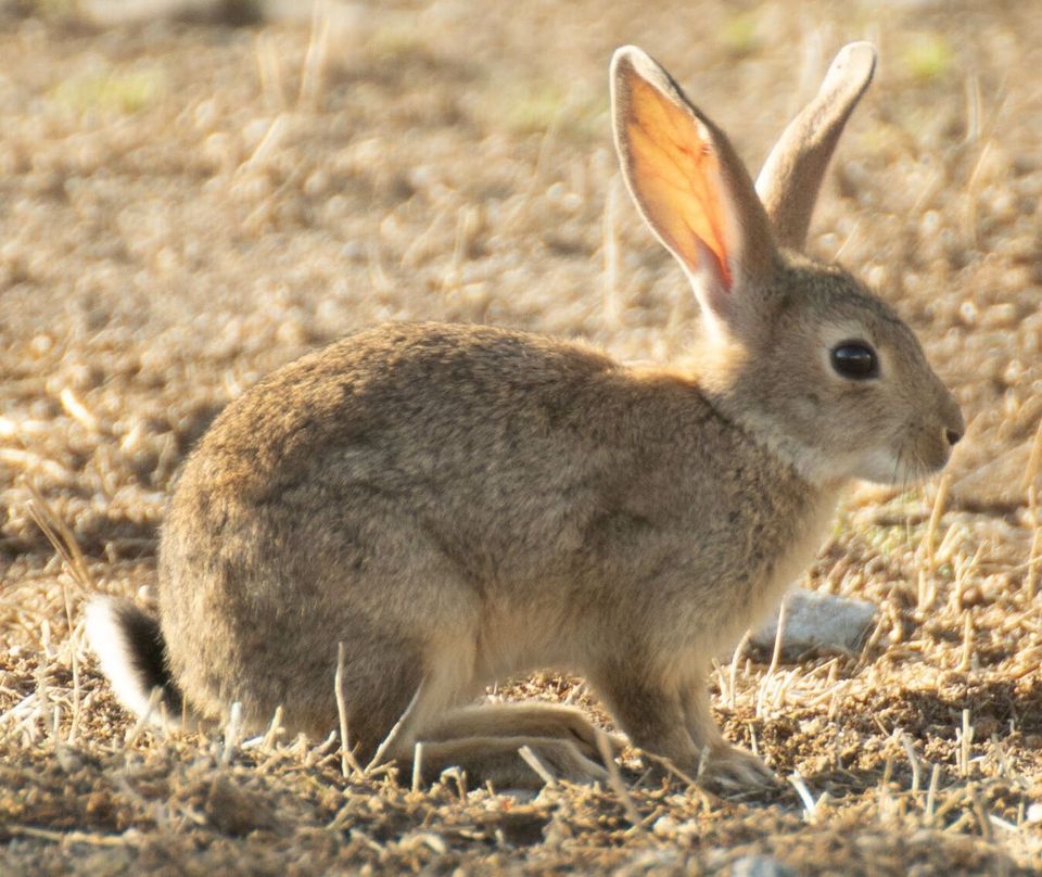 18 sightingsEuropean RabbitMost seen around 7 AMSighting map
Sighting maps show where each species has been reported across Eryri. Wildlife moves, so no sighting is guaranteed.
Keep exploring
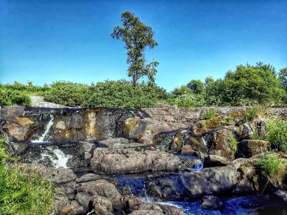 ModerateRhaeadr Nantcol Waterfalls Circular2.6 km · 1 hr · 5.7 km awayTwo waterfalls, riverside path and shaded woods on an hour-long loop
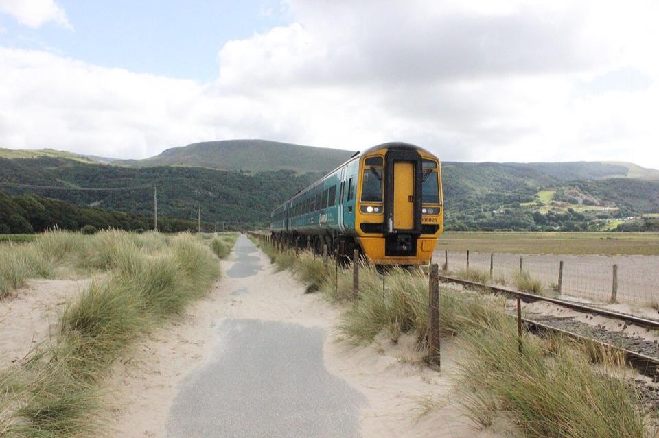 ModerateWales Coast Path (Meirionnydd)96.6 km · 1.3 days · 6.9 km awayFive days of estuaries, beaches and dunes from Porthmadog to Machynlleth
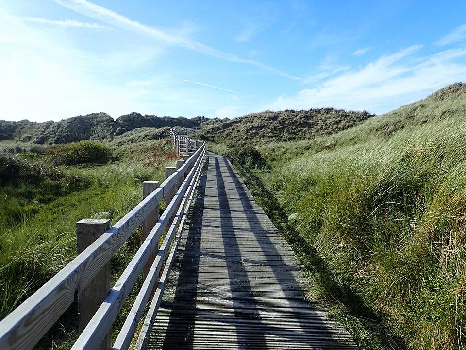 EasyBenar Boardwalk0.6 km · 15 min · 8.9 km awayA short boardwalk through the dunes to a Cardigan Bay view
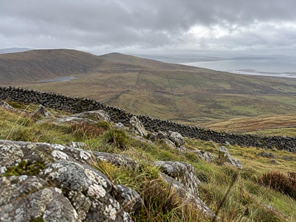 ModerateCraig y Ddinas6.9 km · 2 hr · 9.3 km awayClimb open upland to an Iron Age hillfort on its own rock
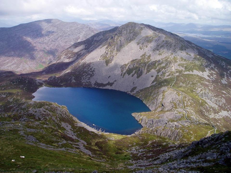 ChallengingRhinog Fach and Y Llethr Circular15.1 km · 6.2 hr · 11.1 km awayTwo rugged summits above dark Llyn Hywel on rough, pathless ground
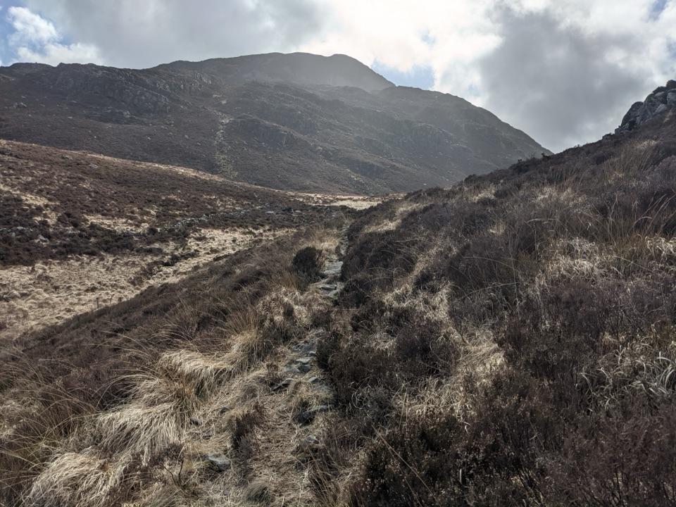 ModerateBwlch Drws Ardudwy6.8 km · 3 hr · 11.1 km awayBoulder-strewn climb to the gap between Rhinog Fawr and Rhinog Fach
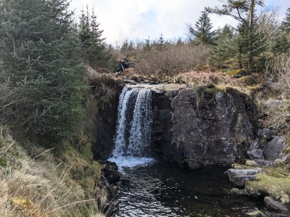 EasyGraigddu Woods5 km · 1.5 hr · 11.1 km awayQuiet plantation loop to a small waterfall and southern mountain views
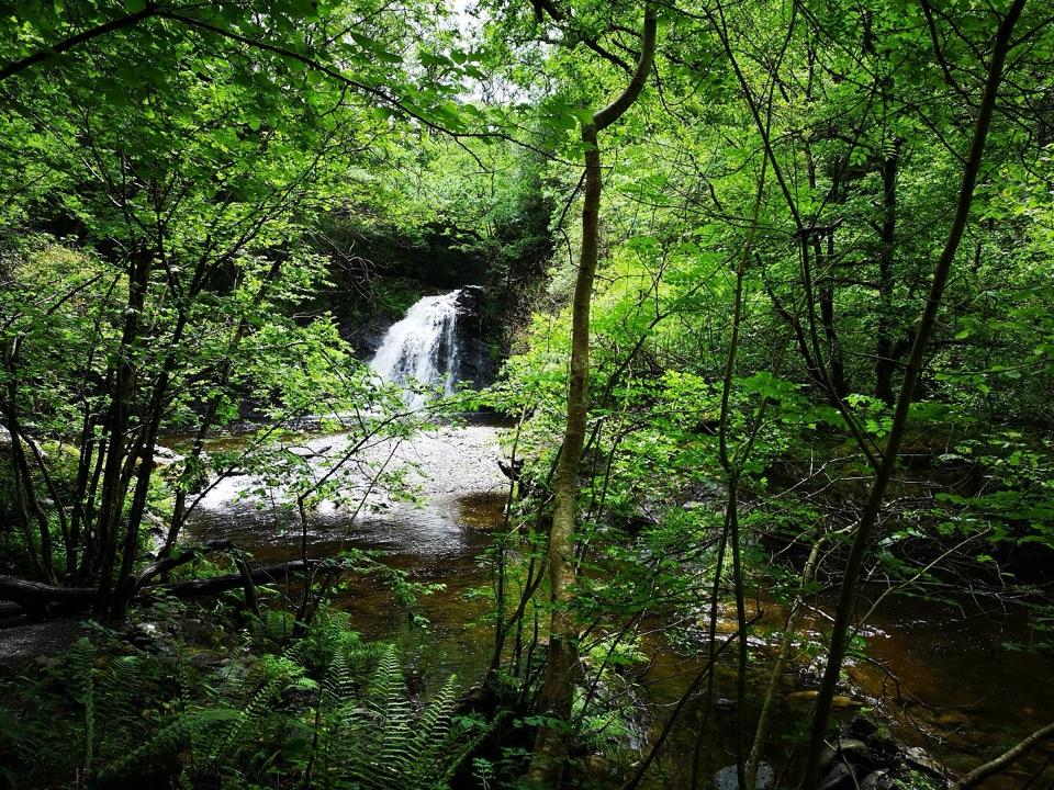 ChallengingRhaeadr Ddu Waterfall Walk (Ceunant Llennyrch)1.6 km · 1 hr · 11.8 km awaySteep mossy oakwood loop down to a hidden waterfall and ravine
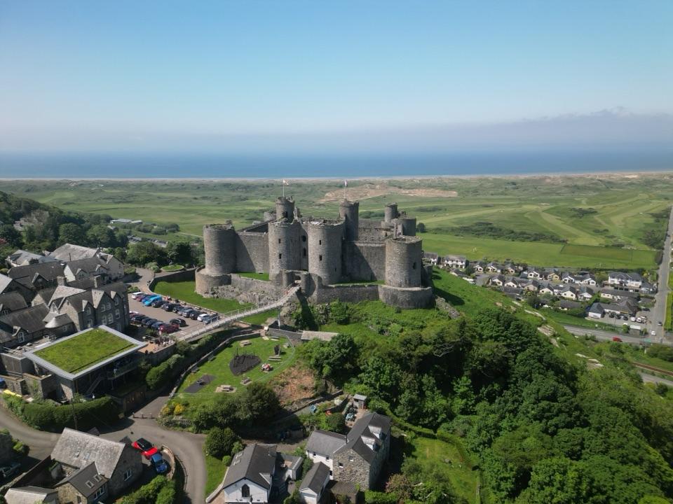 Sight · 0.8 km awayHarlech CastleA medieval fortress above dunes, sea, and mountain skyline
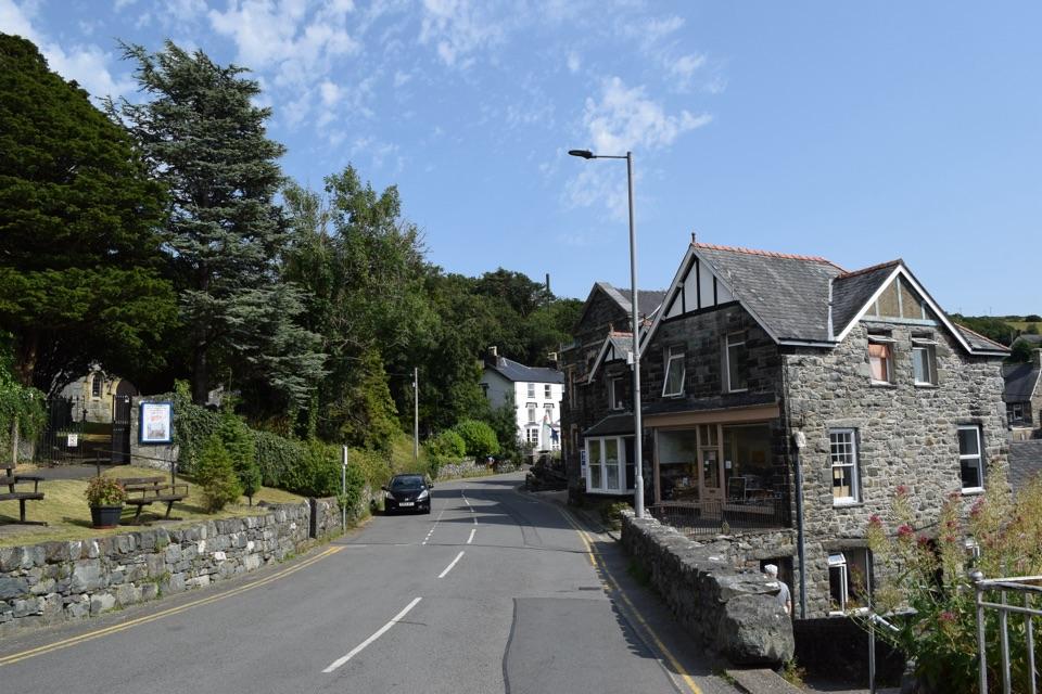 Sight · 0.9 km awayHarlechA steep old town linking castle, coast, and mountain views
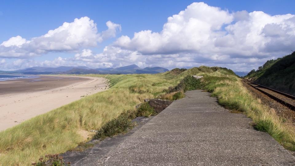 Beach · 1.1 km awayHarlech BeachA huge dune-backed beach with castle and mountain views
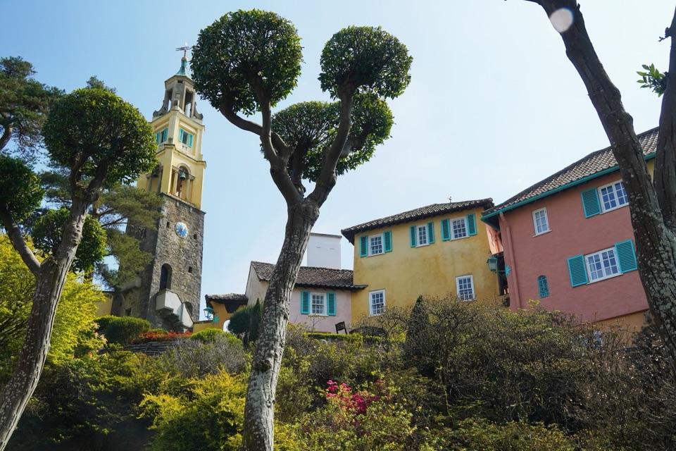 Sight · 5.8 km awayPortmeirion Village and GardensAn Italianate village with a 70-acre woodland garden and estuary walks.
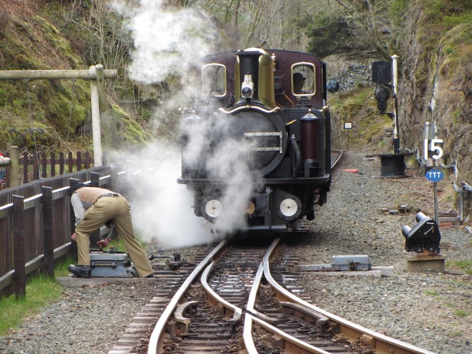 Sight · 6.8 km awayFfestiniog RailwaySteam, slate country, and tight bends on a historic mountain railway
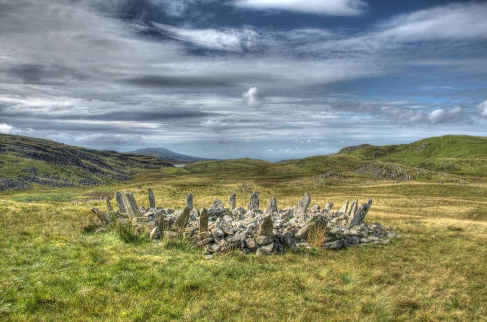 Sight · 8.2 km awayBryn Cader FanerA spiky Bronze Age cairn crowning a lonely Rhinogydd hillside
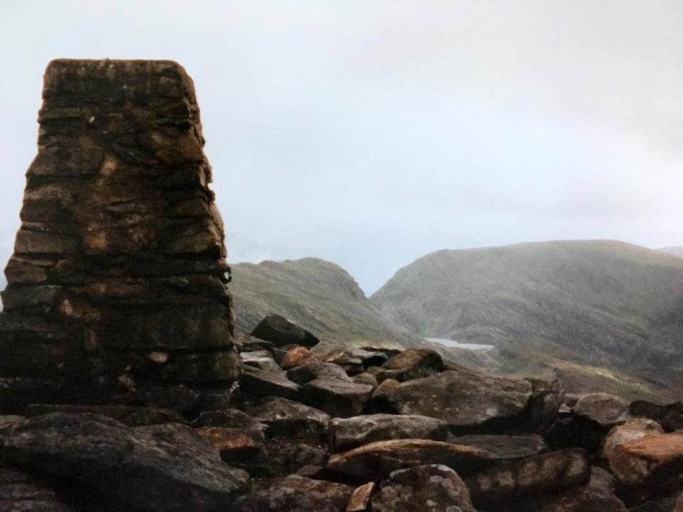 Sight · 8.7 km awayRhinog FawrA rough-edged summit with big views and a wilder feel.
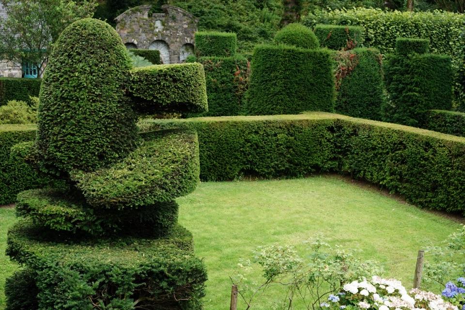 Sight · 11.3 km awayPlas Brondanw GardensTopiary, turquoise details, and mountain views in a garden of rooms
Parkwolf’s Eryri ranking

The audio tour guide for the drive, plus offline maps, trails, and wildlife heatmaps for when the signal drops.