Parking
Morfa Dyffryn Car Park on Ffordd Benar, reached from the A496; use the designated car park. Parking is operated by the National Park Authority.
Eryri National Park, WA
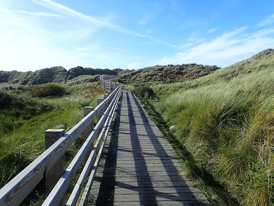
Flat boardwalk to a Cardigan Bay beach viewpoint, open to all wheels
Overview
You leave the car park, follow the access path onto the boardwalk, and run out through the dune system to the beach end. The payoff is the viewpoint at the finish, with a picnic bench and sandy Benar Beach in front of you, looking out across Cardigan Bay. On a clear day you can pick out the Llyn Peninsula and catch a glimpse of Bardsey Island. Morfa Dyffryn is a nationally important active dune system, so the walk out passes specialised dune plants, damp slacks behind the beach, and ground used by breeding birds.
 Parkwolf’s verdictThe sequence and the payoff
Map & elevation
Plan your hike

The highest, rockiest slopes around here are a summer buffet for grizzly bears.
Eryri Tour Guide
Parkwolf is a GPS audio tour guide for Eryri National Park. As you drive, it chimes in with what’s ahead: hidden gems, upcoming stops, history, geology, and wildlife, right through your car’s speakers.
Recorded for this area
Why a Dune Needs Bare Sand“At Morfa Dyffryn, a patch of bare sand isn't a failed dune. It's part of the habitat. When scrub and dense grass take over, the open ground needed by specialist plants and insects disappears.”
Plays on the road 1.6 km from the trailhead in the Parkwolf Eryri Tour Guide.
More stories near here in the app
“Fantastic app with many points of information… It’s great to just turn on while you’re driving and it gives you an audio tour of the national Park. We love it!!!!”


Trail guide
This is a there and back again walk from Morfa Dyffryn Car Park out to the beach viewpoint, returning along the same boardwalk and access path. Parkwolf stores it as about 0.4 miles (0.6 km) return, rounded from the full mapped corridor of 302.94 metres each way. The official promoted route sheet prints 200 metres, which is shorter than the complete car park to beach geometry, so expect a little more than that on the ground. Allow roughly 15 minutes, longer if you sit a while at the end.
Graded Easy, Access for All, difficulty 1/10. It is largely flat and even, with no steps and no steep sections, and the boardwalk is wide enough for conventional wheelchairs, pushchairs and Tramper-style mobility scooters. The one real variable is sand, which blows in and builds up on sections of the decking and can make traversal difficult. The boardwalk and access path are the accessible part of this trip. The open beach and the dunes beyond are soft sand and are not wheelchair ground.
Be honest with yourself about the length. This is a few hundred metres each way, not a coastal hike, and it is not part of a longer walk here. Taken for what it is, a short, flat, genuinely accessible push or stroll from car to sea view with somewhere to sit at the end, it does the job well. Pack a flask and treat the bench as the destination.
Start and finish at Morfa Dyffryn Car Park, OS grid reference SH 572 224, reached on Ffordd Benar off the A496. There is designated parking, operated by the National Park Authority, and picnic tables in the car park. An accessible toilet sits near the car park, though facilities here are seasonal, so do not count on it being open when you arrive.
Dogs are allowed on the route. From March through July, the bird breeding season, keep them on leads: ringed plovers nest on the beach and other birds nest in the dunes and saltmarsh. Follow reserve signs, stay on the boardwalk, and give wildlife, livestock and the dune faces space. Old military debris turns up on this stretch of coast, so leave anything of that sort alone.
Part of the reserve is a signed designated naturist beach. It is clearly marked, so read the signs at the beach end and choose your spot accordingly. Worth knowing in advance if you are visiting with children or a group.
Wildlife
 77 sightingsGrey HeronMost seen around 7 AMSighting map
 17 sightingsTawny OwlMost seen around 6 AMSighting map
 32 sightingsCommon RavenMost seen around 8 AMSighting map
 21 sightingsGreat Spotted WoodpeckerMost seen around 7 AMSighting map
 18 sightingsEuropean RabbitMost seen around 7 AMSighting map
 161 sightingsViviparous LizardMost seen around 10 AMSighting map
Sighting maps show where each species has been reported across Eryri. Wildlife moves, so no sighting is guaranteed.
Keep exploring
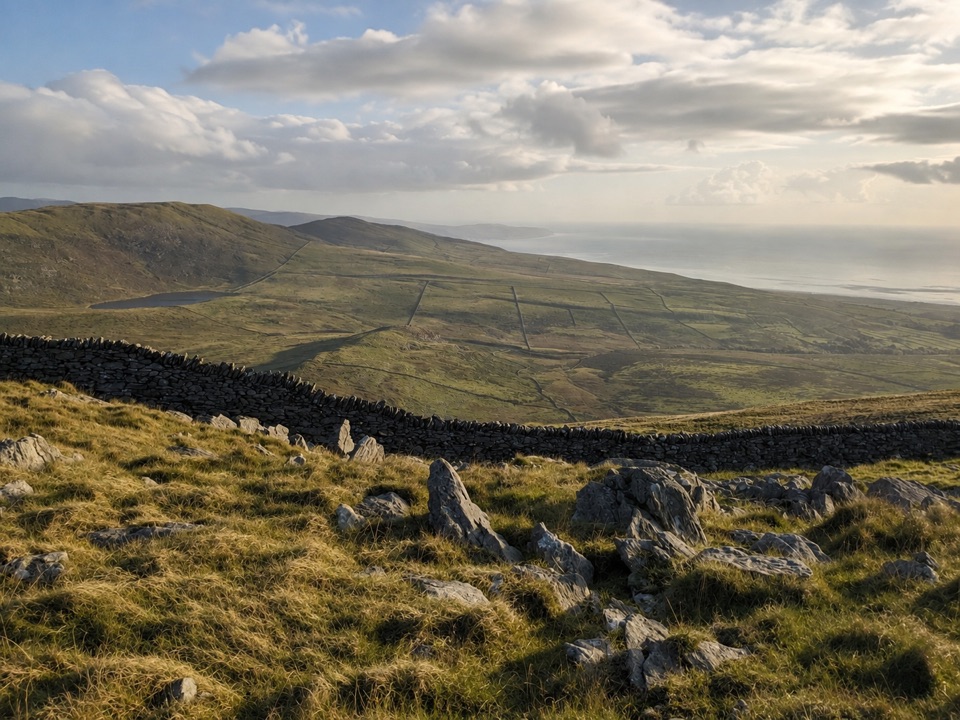 ModerateCraig y Ddinas6.9 km · 2 hr · 3.1 km awayClimb open upland to an Iron Age hillfort on its own rock
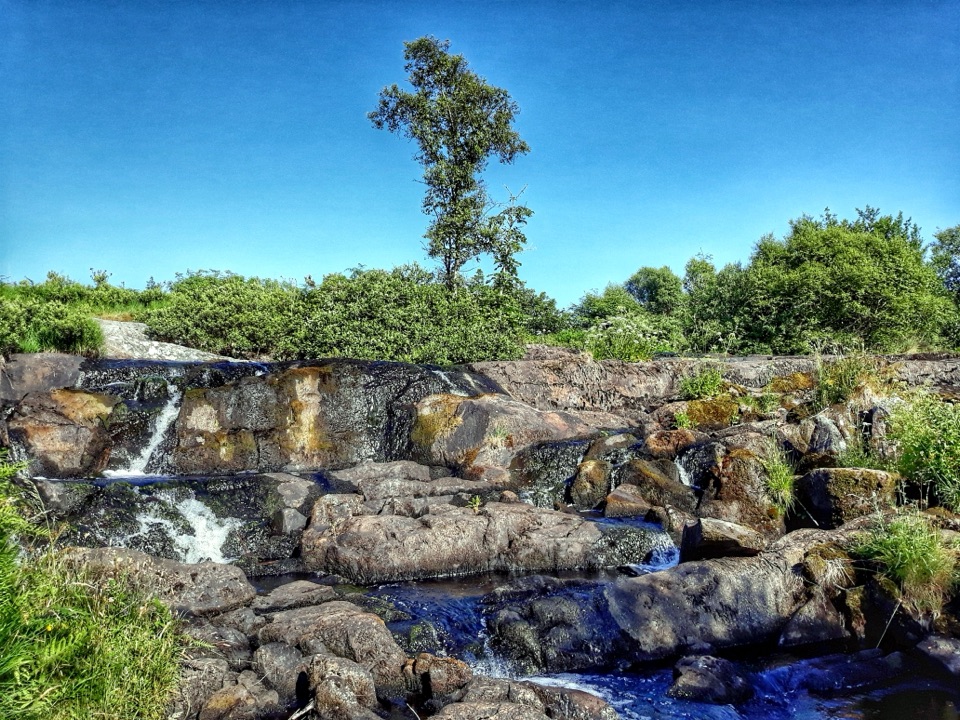 ModerateRhaeadr Nantcol Waterfalls Circular2.6 km · 1 hr · 5.6 km awayTwo waterfalls, riverside path and shaded woods on an hour-long loop
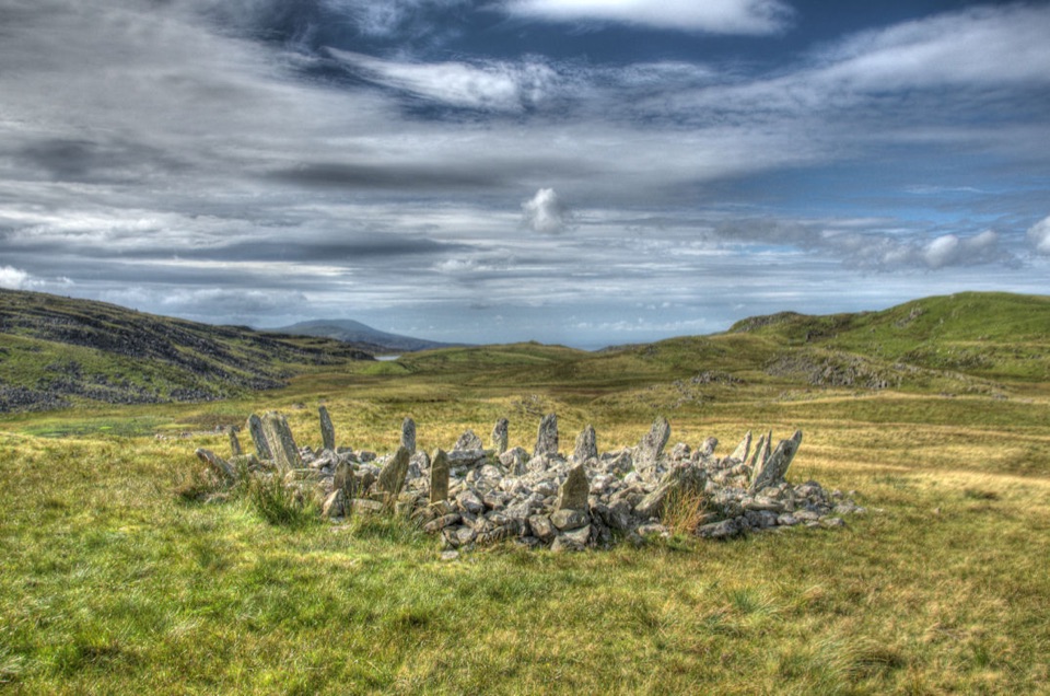 ChallengingTaith Ardudwy Way38.9 km · 13.5 hr · 7.9 km awayThree days of quiet moorland, lakes and a Bronze Age stone circle
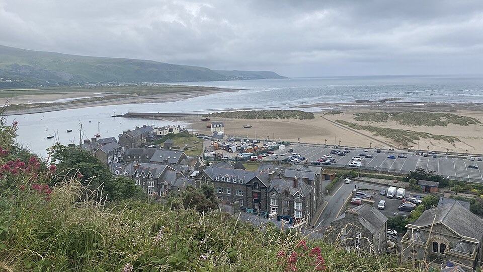 ModerateDinas Oleu Walk1.9 km · 1.3 hr · 8 km awayShort steep climb to gorse-clad views over the Mawddach and Cardigan Bay
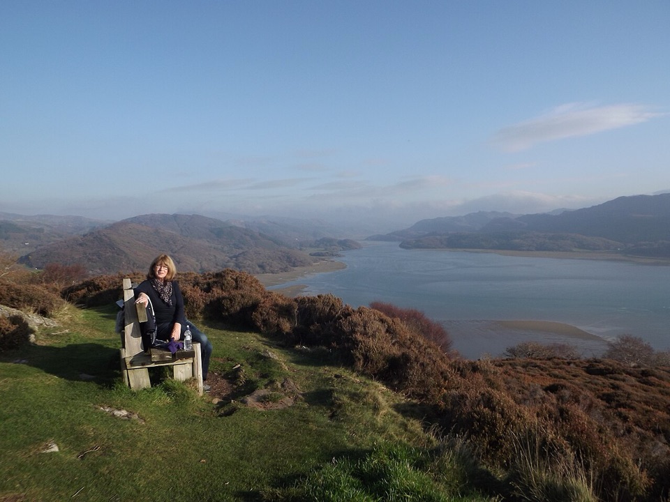 ChallengingPanorama Walk6.4 km · 3 hr · 8.3 km awaySteep, often boggy loop to a sweeping Mawddach Estuary viewpoint
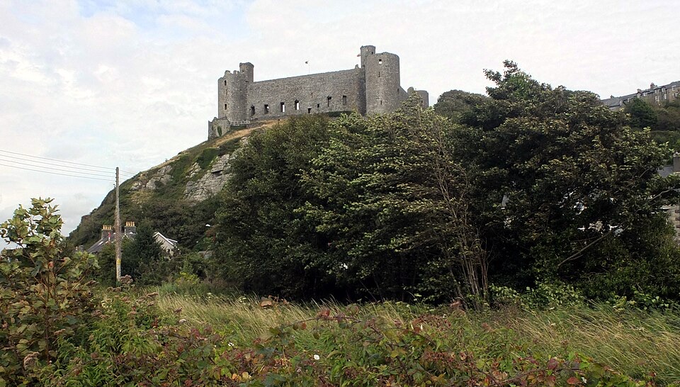 ModerateBranwen Walk5 km · 2 hr · 8.9 km awayBeach, dunes and steps to a castle view, then streets back
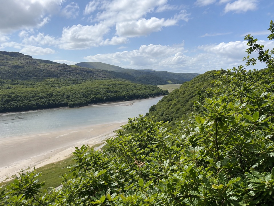 ModerateFarchynys Walk2 km · 1 hr · 9.8 km awayTwo estuary viewpoints on a short woodland circuit above the Mawddach
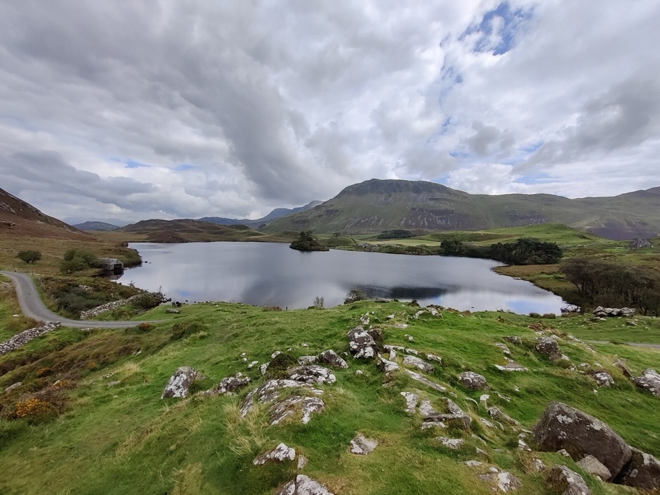 ModerateRhaeadrau Arthog and Llynnau Cregennan13.7 km · 4 hr · 10.4 km awayWaterfall, hilltop lakes, ancient woods and estuary on one 13.7 km loop
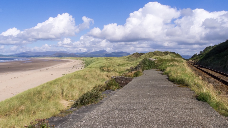 Beach · 7.9 km awayHarlech BeachA huge dune-backed beach with castle and mountain views
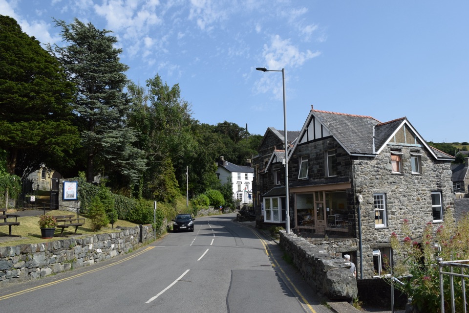 Sight · 8.4 km awayHarlechA steep old town linking castle, coast, and mountain views
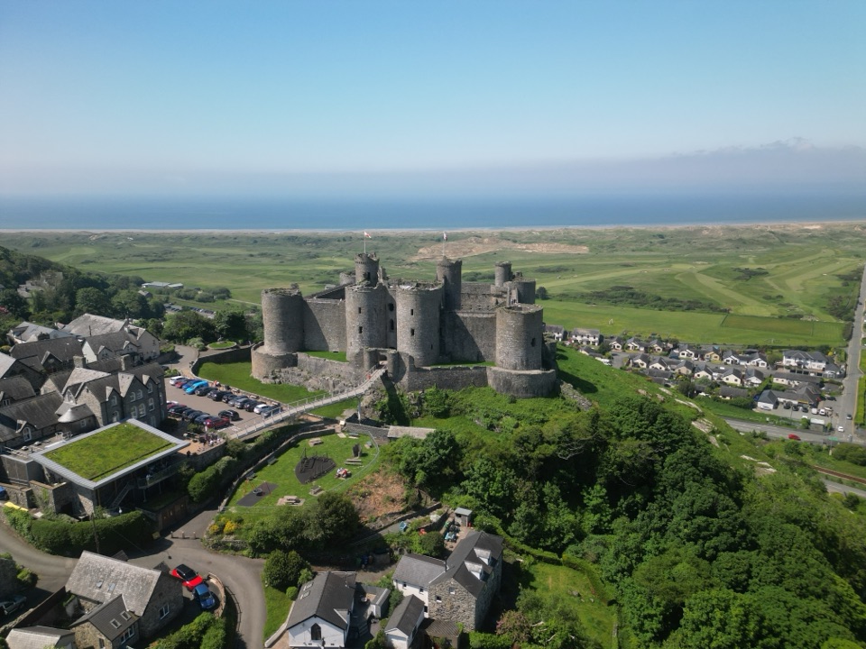 Sight · 8.5 km awayHarlech CastleA medieval fortress above dunes, sea, and mountain skyline
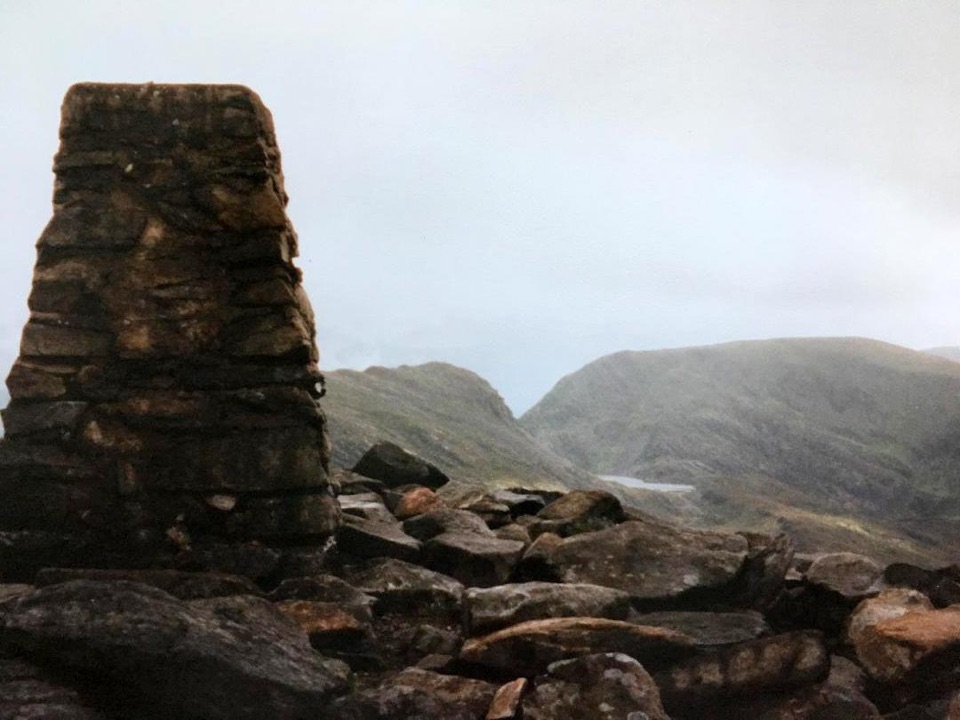 Sight · 10.5 km awayRhinog FawrA rough-edged summit with big views and a wilder feel.Sight · 14.7 km awayBryn Cader FanerA spiky Bronze Age cairn crowning a lonely Rhinogydd hillside
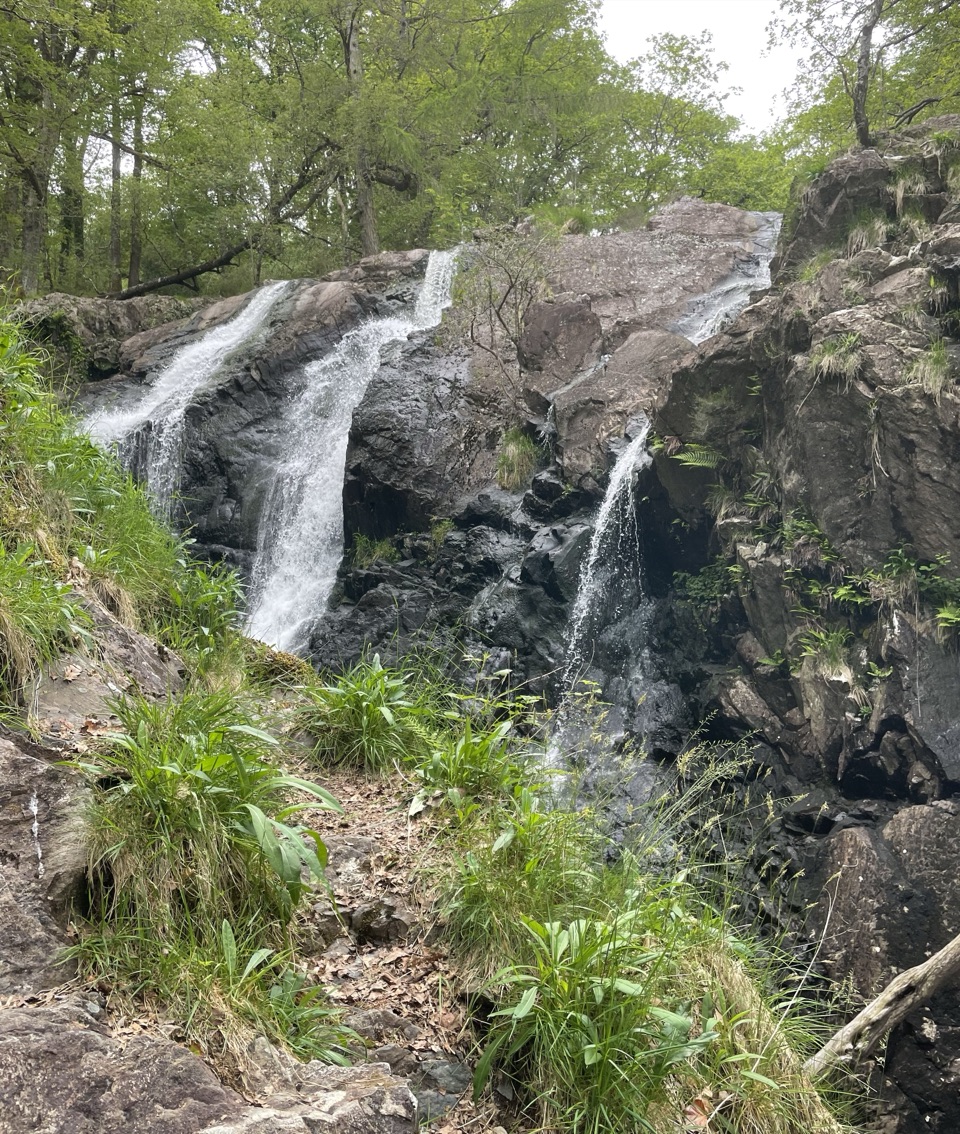 Sight · 15 km awayRhaeadr Ddu (Black Falls)Two mossy cascades drop about 60 feet through ancient oak woodland
 Sight · 15.2 km awayCymer AbbeyThree medieval arches frame the Mawddach valley
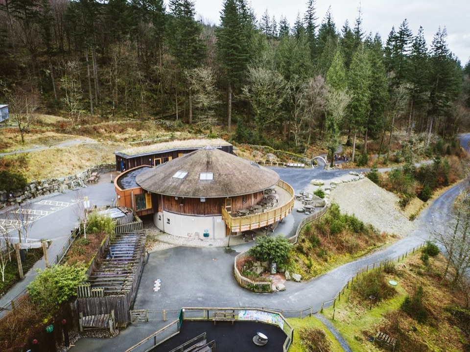 Visitor center · 15.6 km awayCoed y Brenin Visitor CentreBritain’s first purpose-built mountain-bike centre, now a quiet trailhead
Parkwolf’s Eryri ranking
The audio tour guide for the drive, plus offline maps, trails, and wildlife heatmaps for when the signal drops.




