Parking
Start in Porthmadog at The Cob and arrange accommodation and transport between stages for this point-to-point route.
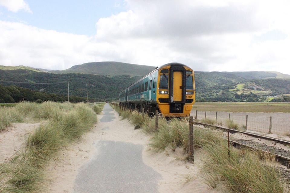
Eryri National Park, WA
Five days of estuaries, beaches and dunes from Porthmadog to Machynlleth
Overview
Map & elevation
Plan your hike

The highest, rockiest slopes around here are a summer buffet for grizzly bears.
Eryri Tour Guide
Parkwolf is a GPS audio tour guide for Eryri National Park. As you drive, it chimes in with what’s ahead: hidden gems, upcoming stops, history, geology, and wildlife, right through your car’s speakers.
More stories near here in the app
“Fantastic app with many points of information… It’s great to just turn on while you’re driving and it gives you an audio tour of the national Park. We love it!!!!”


Trail guide
This is the Meirionnydd stretch of the Wales Coast Path walked as a one way, point to point long distance route from Porthmadog to Machynlleth, about 60 miles (96.6 km) and normally spread over five days. It is a section of the wider coast path rather than the whole thing, and it is a different line from the Meirionnydd Coast Walk variant that begins at Aberdyfi. From the town end at The Cob, the way threads past Portmeirion, Harlech, Barmouth, Llwyngwril, Tywyn and Aberdyfi before turning inland above the Afon Dyfi to finish at Machynlleth.
The challenge here is accumulation rather than anything technical. There is no mountain scrambling, but there are repeated long days, and surfaces change constantly: paved town and estuary paths, grassy tracks, sand and soft dune, farm tracks, quiet lanes and one inland hill section. Beaches and salt marsh are open to wind and weather with little shelter, so a headwind can make a flat mile feel long. Overall it sits at a moderate grade for a multi day walk, with the inland Dyfi finish asking a bit more of your navigation and logistics than the coastal days.
Three estuaries shape the walk, the Dwyryd, the Mawddach and the Dyfi, linked by sandy beaches, salt marsh and dune systems. Harlech Castle, Portmeirion and the walk across Barmouth Bridge are the landmarks people remember. Coastal wildlife worth watching for includes dolphins, grey and common seals and harbour porpoises offshore, with crabs and starfish in the shallows, mining bees in the dunes and marram grass holding the sand together.
Start at Porthmadog and sort accommodation or transport between stages before you set off. The Cambrian Coast Railway gives plenty of access and exit points along the coastal days, which makes reshaping stages easy. The Aberdyfi to Machynlleth day is less flexible by rail, though buses serve points such as Pennal. Dogs are welcome on public footpaths and open access land, but must be under close control on rights of way, on a lead of no more than 2 m on open access land from 1 March to 31 July, and on a short lead near livestock and wildlife. Some beaches carry local dog restrictions, and dogs are not allowed at Portmeirion.
Editorial rating: 77/100, ranked 31. A satisfying long coastal line with real variety, best suited to walkers who enjoy steady distance, changing ground underfoot and wide open estuary skies.
Wildlife
 77 sightingsGrey HeronMost seen around 7 AMSighting map
 17 sightingsTawny OwlMost seen around 6 AMSighting map
 32 sightingsCommon RavenMost seen around 8 AMSighting map
 21 sightingsGreat Spotted WoodpeckerMost seen around 7 AMSighting map
 18 sightingsEuropean RabbitMost seen around 7 AMSighting map
 161 sightingsViviparous LizardMost seen around 10 AMSighting map
Sighting maps show where each species has been reported across Eryri. Wildlife moves, so no sighting is guaranteed.
Keep exploring
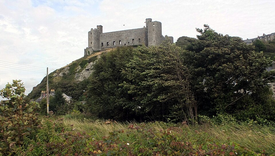 ModerateBranwen Walk5 km · 2 hr · 6.9 km awayBeach, dunes and steps to a castle view, then streets back
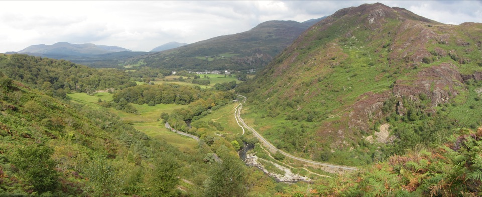 ChallengingAberglaslyn, Bryn Du and Beddgelert Walk5.6 km · 2 hr · 8.1 km awaySteep woodland climb to Bryn Du, then Gelert's grave and river paths
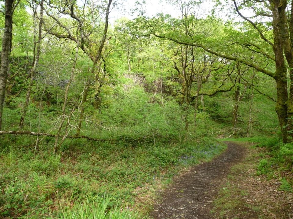 EasyStation Link Walk0.6 km · 30 min · 8.6 km awayBrief oak woodland climb linking the car park to Tan-y-Bwlch station
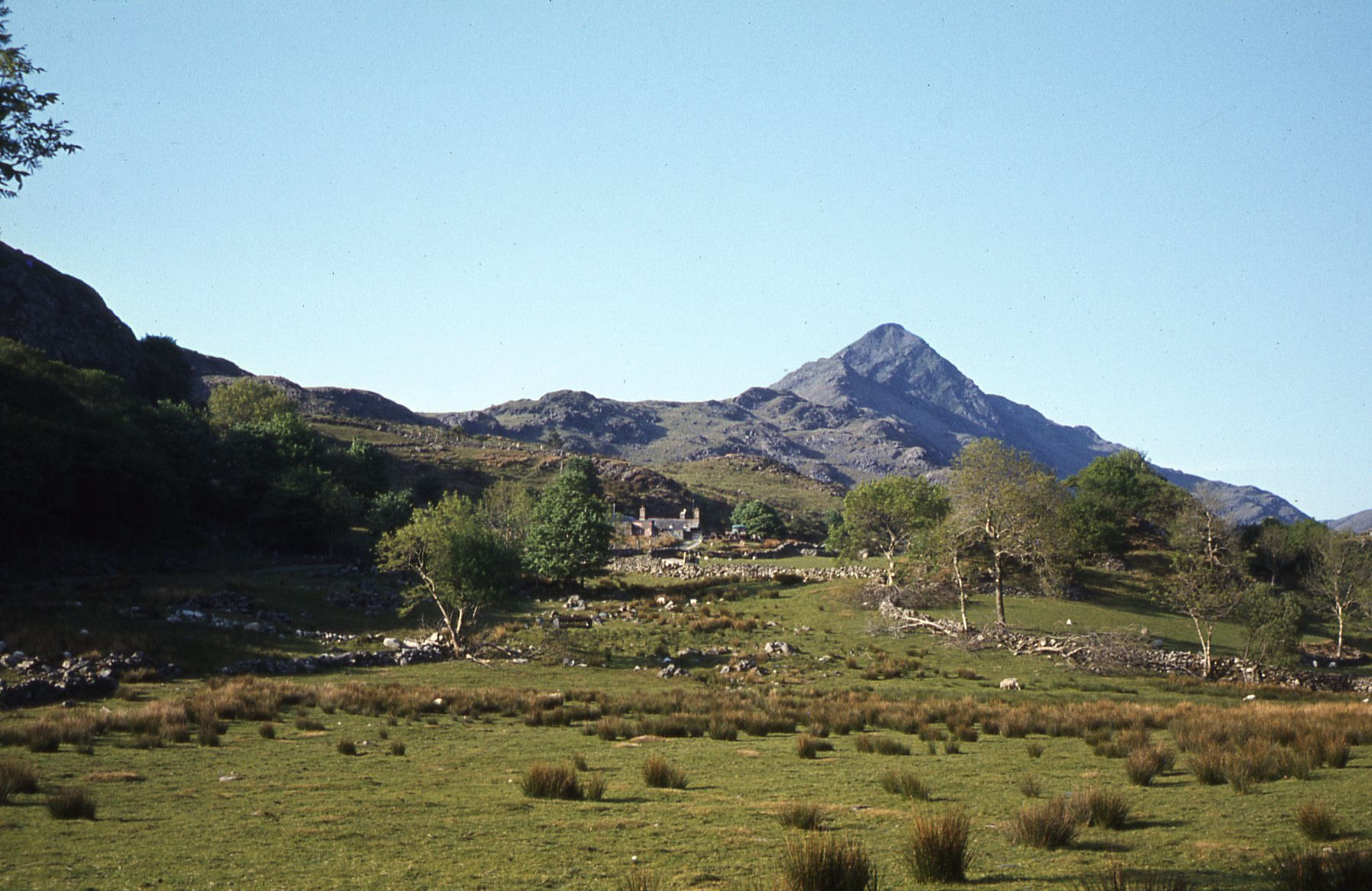 ModerateCroesor Circular5.5 km · 3 hr · 8.7 km awayA 5.5 km loop under the Welsh Matterhorn, past slate and river
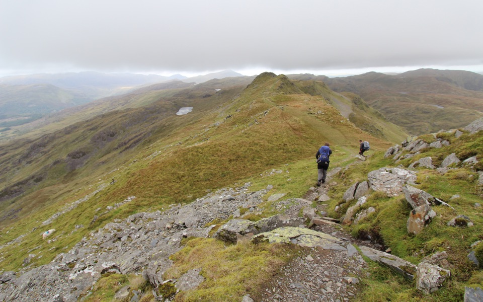 ChallengingCnicht from Croesor8.7 km · 3.5 hr · 8.7 km awaySharp ridge summit loop above Cwm Croesor, with slate country below
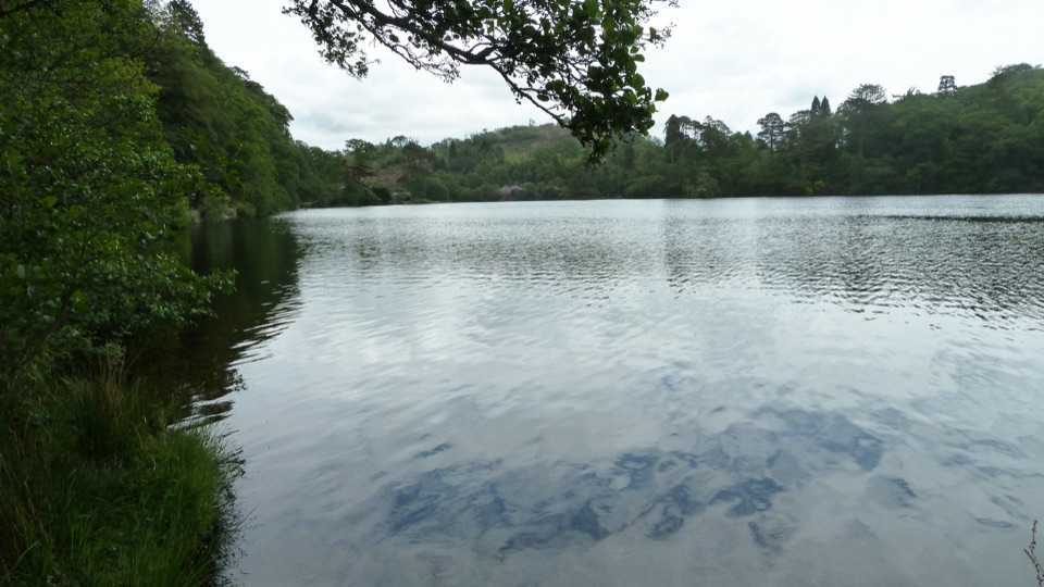 EasyDyffryn Maentwrog Woods and Llyn Mair Path3 km · 1 hr · 8.9 km awayGentle hour circuit to a wooded lake, small dam and picnic glades
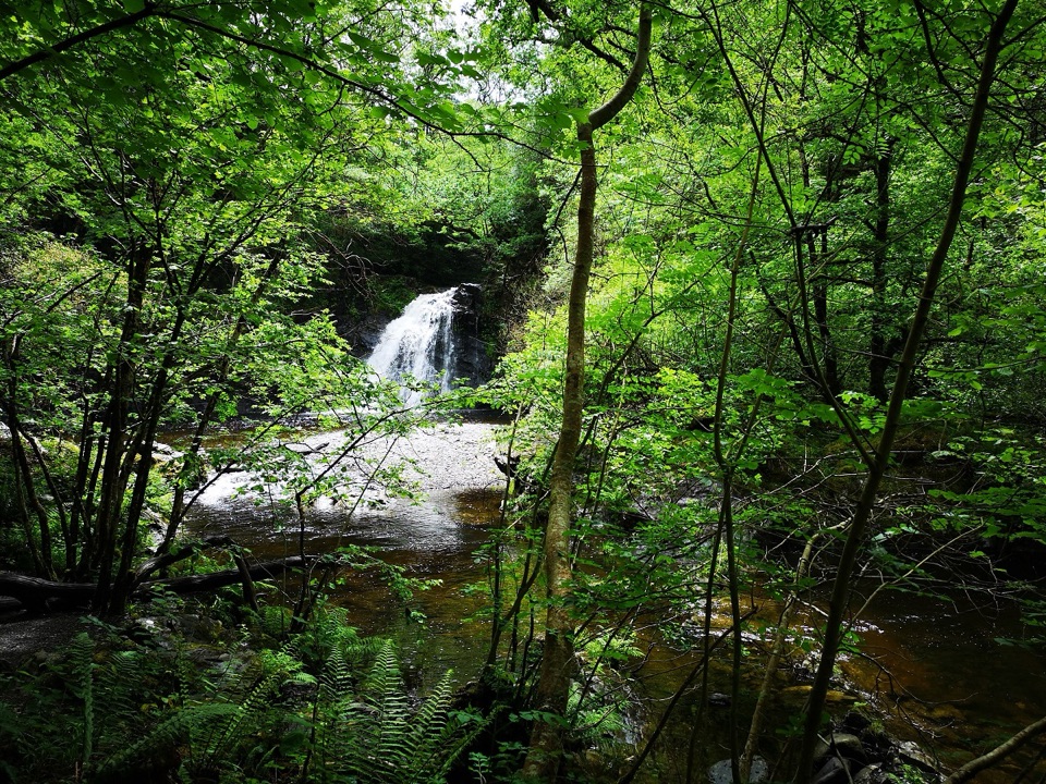 ChallengingRhaeadr Ddu Waterfall Walk (Ceunant Llennyrch)1.6 km · 1 hr · 9.4 km awaySteep mossy oakwood loop down to a hidden waterfall and ravine
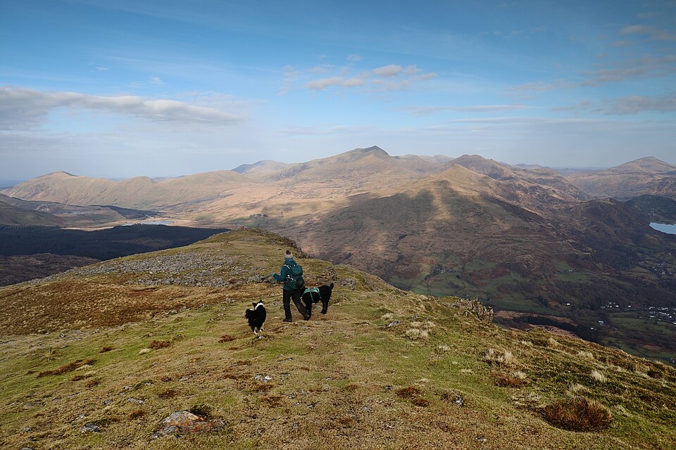 ChallengingMoel Hebog Circular10.6 km · 5 hr · 9.8 km awaySteep scree, three summits, then a forest descent back to Beddgelert
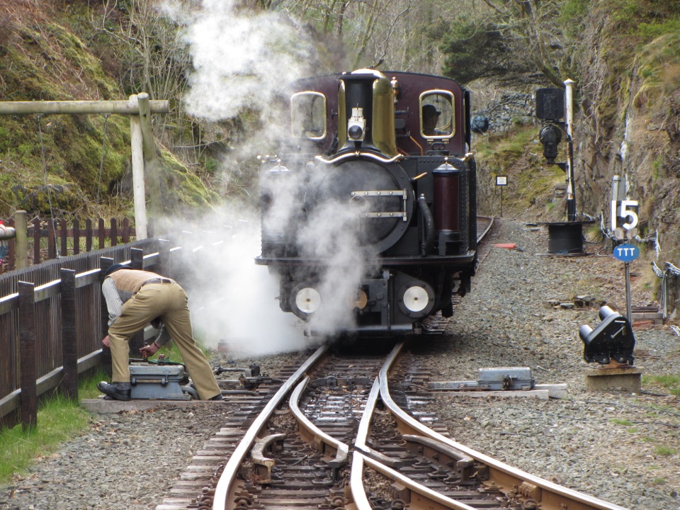 Sight · 0.1 km awayFfestiniog RailwaySteam, slate country, and tight bends on a historic mountain railway
 Sight · 5.8 km awayPlas Brondanw GardensTopiary, turquoise details, and mountain views in a garden of rooms
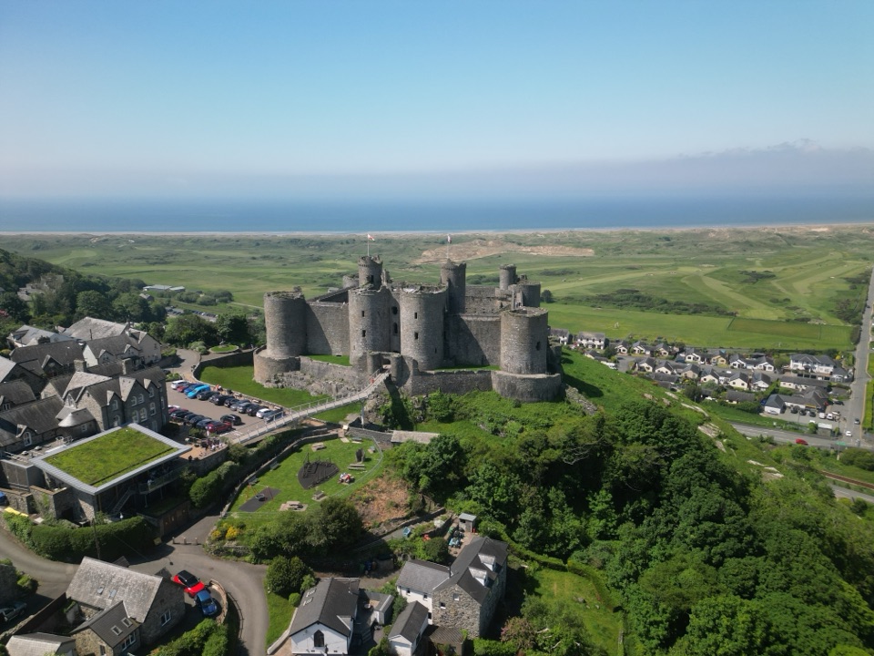 Sight · 7.3 km awayHarlech CastleA medieval fortress above dunes, sea, and mountain skyline
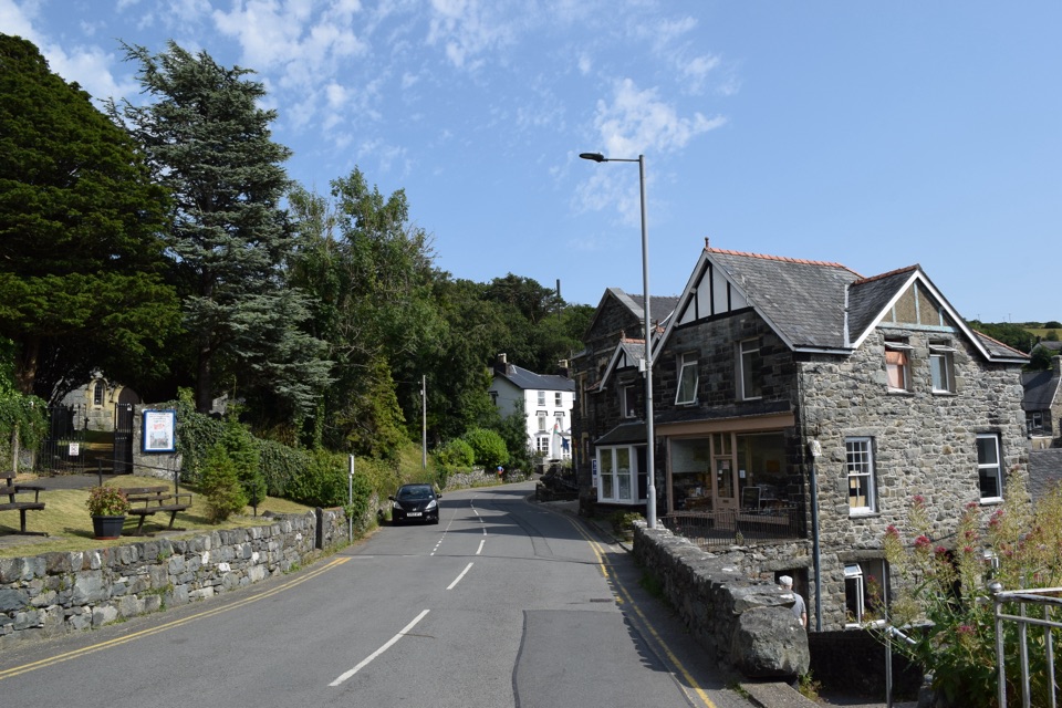 Sight · 7.5 km awayHarlechA steep old town linking castle, coast, and mountain views
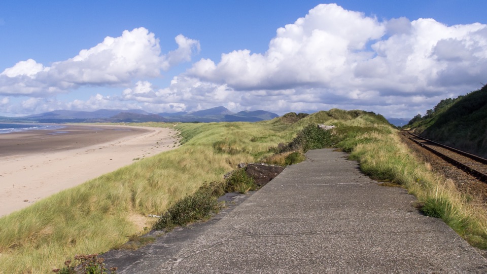 Beach · 7.9 km awayHarlech BeachA huge dune-backed beach with castle and mountain views
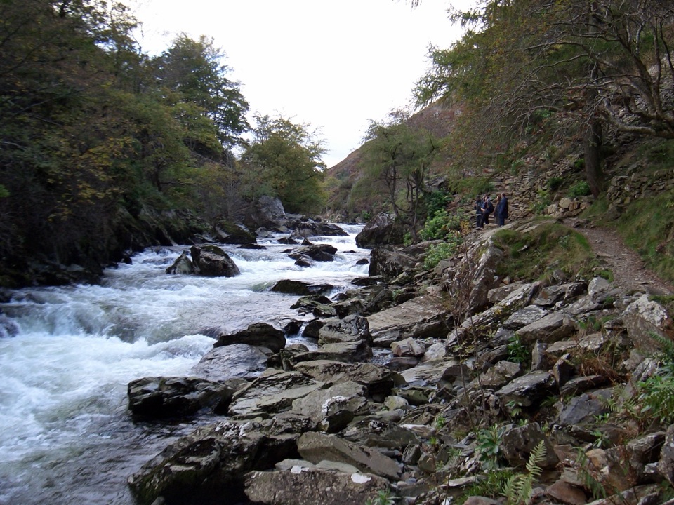 Sight · 8.1 km awayAberglaslyn PassA rushing river threading a dramatic wooded gorge
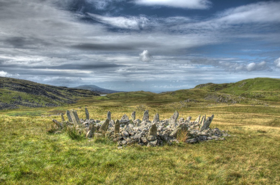 Sight · 8.4 km awayBryn Cader FanerA spiky Bronze Age cairn crowning a lonely Rhinogydd hillside
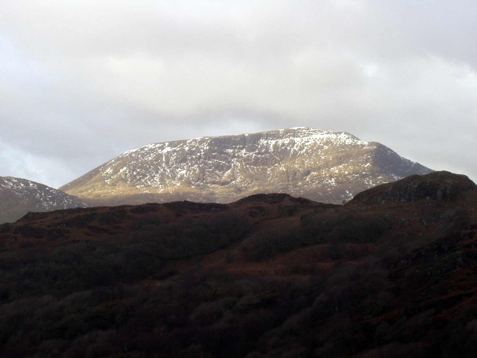 Sight · 8.5 km awayMoel HebogA proud 783-metre summit with sweeping views across the ridges
Parkwolf’s Eryri ranking

The audio tour guide for the drive, plus offline maps, trails, and wildlife heatmaps for when the signal drops.




