Parking
Lay-by opposite Brithdir Village Hall. Use designated parking places only and do not block field entrances or residential access.
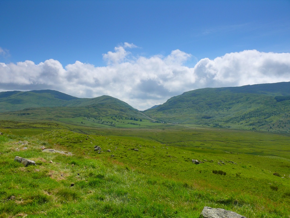
Eryri National Park, WA
A short steep climb to panoramic Meirionnydd hill views from Brithdir
Overview
The summit opens out to wide views across the Meirionnydd hills, and the smooth, rounded shape of the ground up here was carved by glaciers. The lower part of the loop threads through the long-settled farmland around Brithdir, with its scatter of old houses and field boundaries. This is a quiet hill rather than a busy one, so you may well have the top to yourself.
 Parkwolf’s verdictThe payoff
Map & elevation
Plan your hike

The highest, rockiest slopes around here are a summer buffet for grizzly bears.
Eryri Tour Guide
Parkwolf is a GPS audio tour guide for Eryri National Park. As you drive, it chimes in with what’s ahead: hidden gems, upcoming stops, history, geology, and wildlife, right through your car’s speakers.
Recorded for this area
Torrent Walk“You're approaching the B4416 lay-by for Torrent Walk near Brithdir, a loop through the Afon Clywedog's wooded ravine.”
Plays on the road 1.1 km from the trailhead in the Parkwolf Eryri Tour Guide.
More stories near here in the app
“Fantastic app with many points of information… It’s great to just turn on while you’re driving and it gives you an audio tour of the national Park. We love it!!!!”


Trail guide
A circular walk from the lay-by opposite Brithdir Village Hall up to the summit of Foel Caerynwch (Y Foel) and back down a mapped return path. The complete loop measures around 2.3 miles (3.7 km), with about 1.5 hours typical walking time. Total ascent is about 175 m (570 ft), climbing from roughly 150 m at the road to a little over 320 m at the top.
Graded moderate. Paths are unsurfaced and steep in places, with rough grass, a stile to cross and field sections where the line on the ground is faint. The ground below the hawthorns on the descent can be very wet, so plan for boots and waterproof layers, and keep an eye out for the white posts on the open ground above. Carry a detailed topographic map, or a loaded GPS track, and know how to use it for the field crossings.
Start and finish at the lay-by opposite Brithdir Village Hall. Use designated parking places only, and take care not to block field entrances or residential access. Dogs are allowed on the public footpaths and the open-access land here. On open-access ground they must be on a lead no longer than 2 m from 1 March to 31 July, and a short lead is sensible anywhere near livestock or wildlife. Expect sheep in the fields and at least one stile to lift a dog over.
A separate, considerably longer route links the wooded Torrent walk and the Caerynwch estate with the same summit. Choose that one for a half-day outing with river and woodland scenery; choose this loop for a compact hill climb with a clear viewpoint at the top.
Wildlife
 77 sightingsGrey HeronMost seen around 7 AMSighting map
 17 sightingsTawny OwlMost seen around 6 AMSighting map
 32 sightingsCommon RavenMost seen around 8 AMSighting map
 21 sightingsGreat Spotted WoodpeckerMost seen around 7 AMSighting map
 18 sightingsEuropean RabbitMost seen around 7 AMSighting map
 161 sightingsViviparous LizardMost seen around 10 AMSighting map
Sighting maps show where each species has been reported across Eryri. Wildlife moves, so no sighting is guaranteed.
Keep exploring
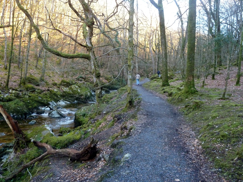 ModerateTorrent Walk4.2 km · 1.3 hr · 1.1 km awayCascades, mossy ravine woodland and mill ruins on a short circular walk
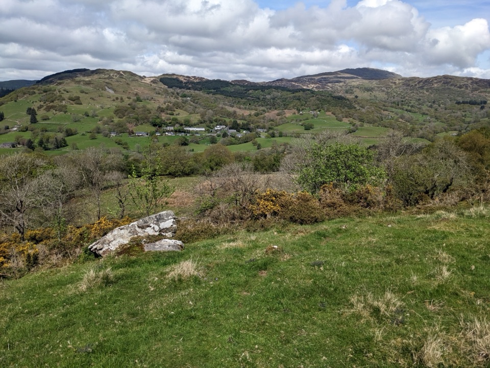 ModerateFoel Offrwm Circular4 km · 1 hr · 3.3 km awayA short woodland and estate loop with wide south Meirionnydd views
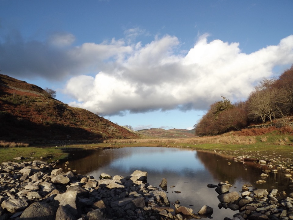 ModeratePrecipice Walk5.3 km · 2 hr · 3.3 km awayHigh-level circuit above the Mawddach with lake, oaks and mountain views
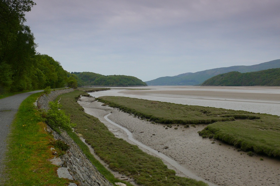 EasyMawddach Trail15 km · 6 hr · 4.3 km awayFlat estuary railway path from Dolgellau to Barmouth, wheelchair friendly
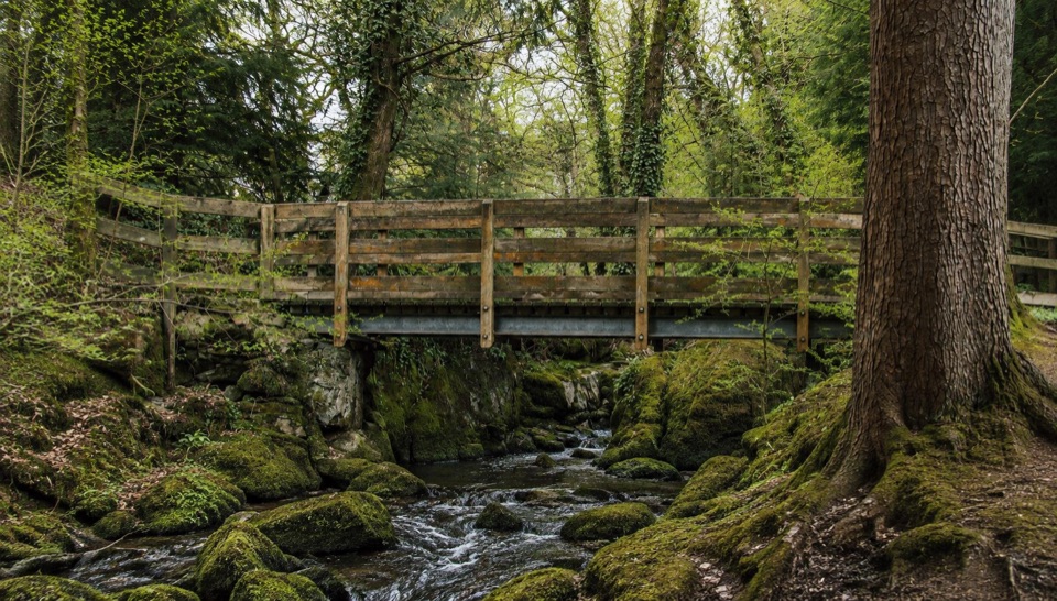 EasyForest Garden Discovery Trail0.6 km · 45 min · 4.4 km awaySteep little loop past world trees, a waterfall bridge and folklore posts
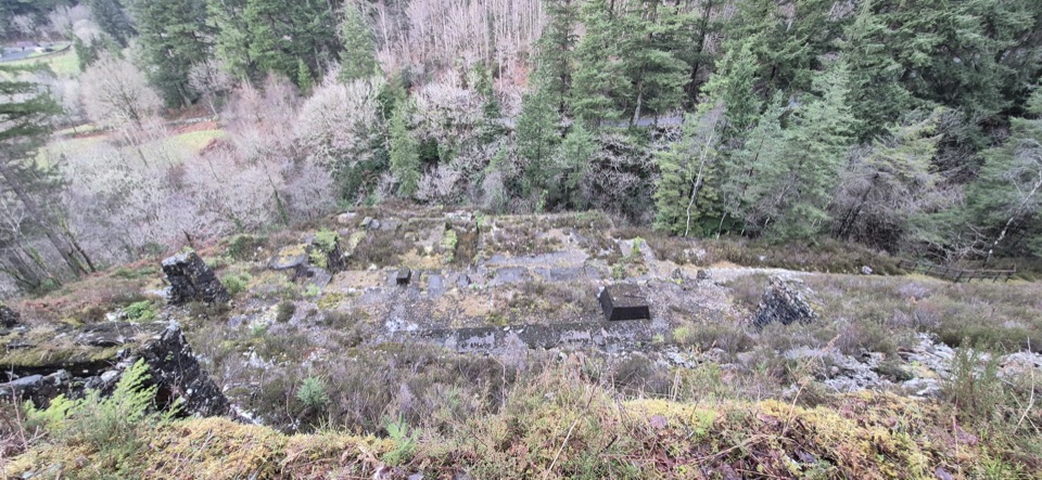 ModerateGlasdir Copper Trail2.1 km · 45 min · 5.1 km awayStepped loop through old copper workings above the Afon Babi gorge
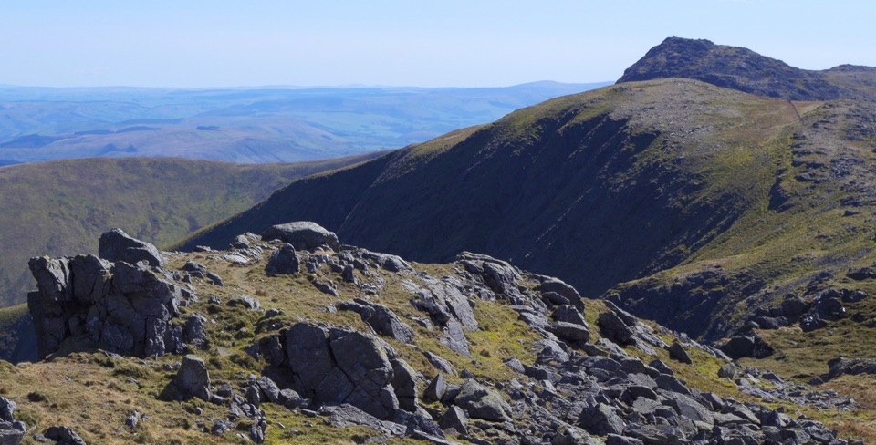 ChallengingAran Benllyn and Aran Fawddwy from Llanuwchllyn21.7 km · 7.5 hr · 5.2 km awayQuiet, steep ridge walk to Aran Fawddwy's rocky 905 m summit
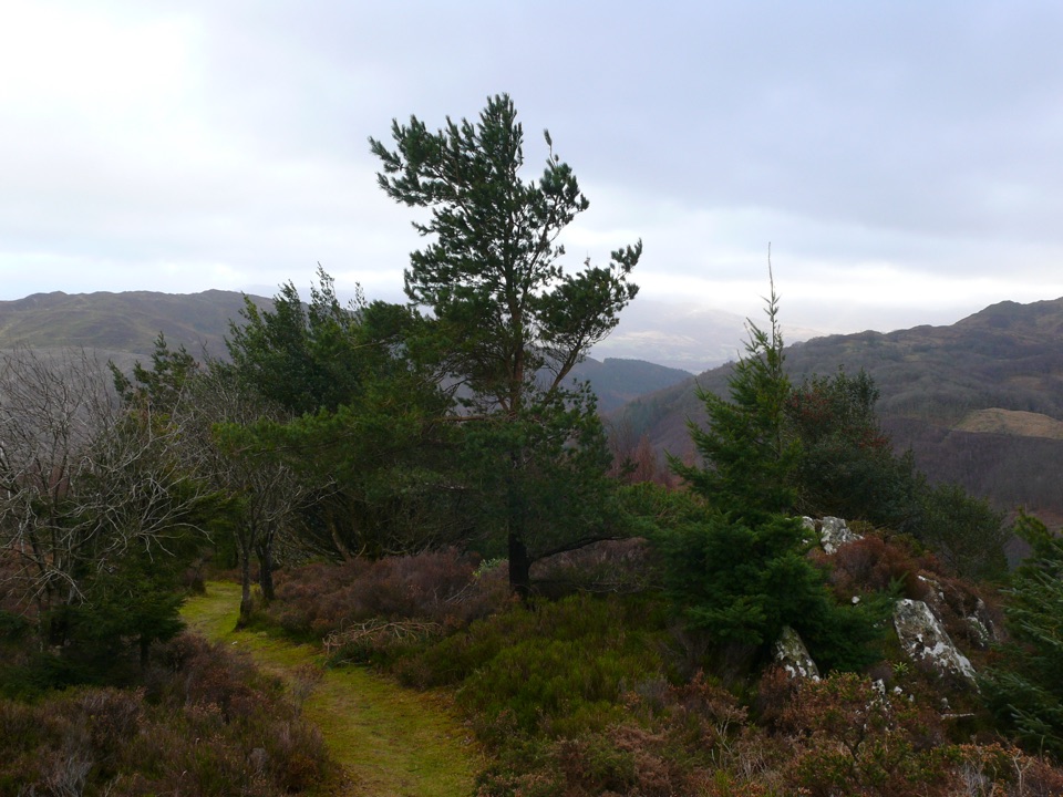 ChallengingPenrhos Mountain Trail5.1 km · 2 hr · 6.1 km awayRooty riverside climb to a heather summit bench and mountain views
 Sight · 4.3 km awayDolgellauGrey dolerite townscape and tangled lanes beneath Cader Idris
 Sight · 4.3 km awayTŷ SiamasA Welsh folk-music centre in a handsome former market hall
 Sight · 4.9 km awayCymer AbbeyThree medieval arches frame the Mawddach valley
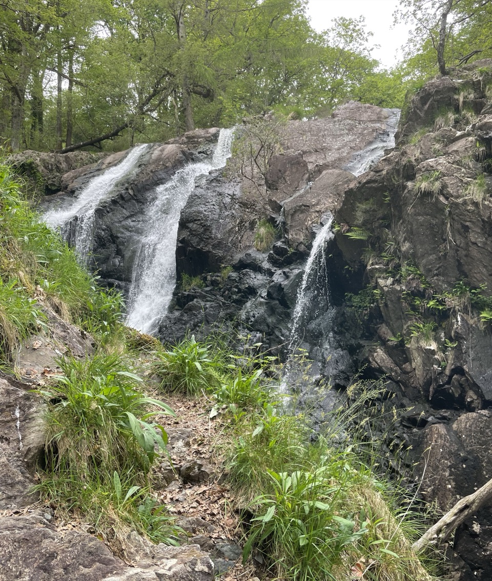 Sight · 7.4 km awayRhaeadr Ddu (Black Falls)Two mossy cascades drop about 60 feet through ancient oak woodland
 Sight · 8.2 km awayCader IdrisA high rocky summit above the dark bowl of Llyn Cau
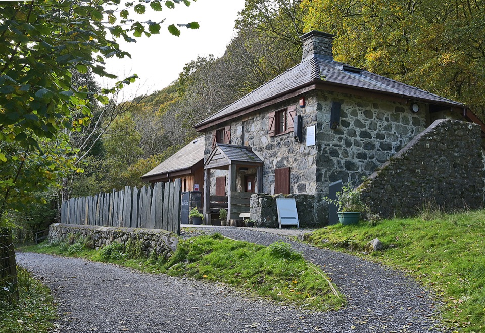 Visitor center · 8.3 km awayCader Idris Visitor CentreA stone mountain base with wildlife exhibits and gentle woodland paths
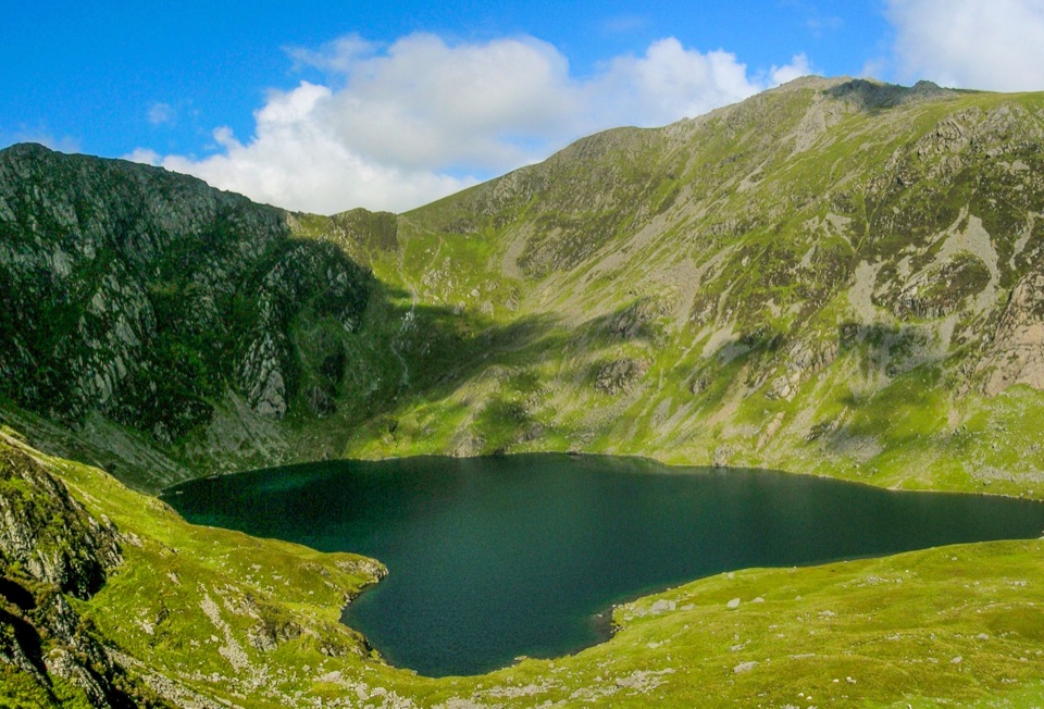 Sight · 8.5 km awayLlyn CauA glacial lake tucked beneath Cadair Idris's steep crater rim
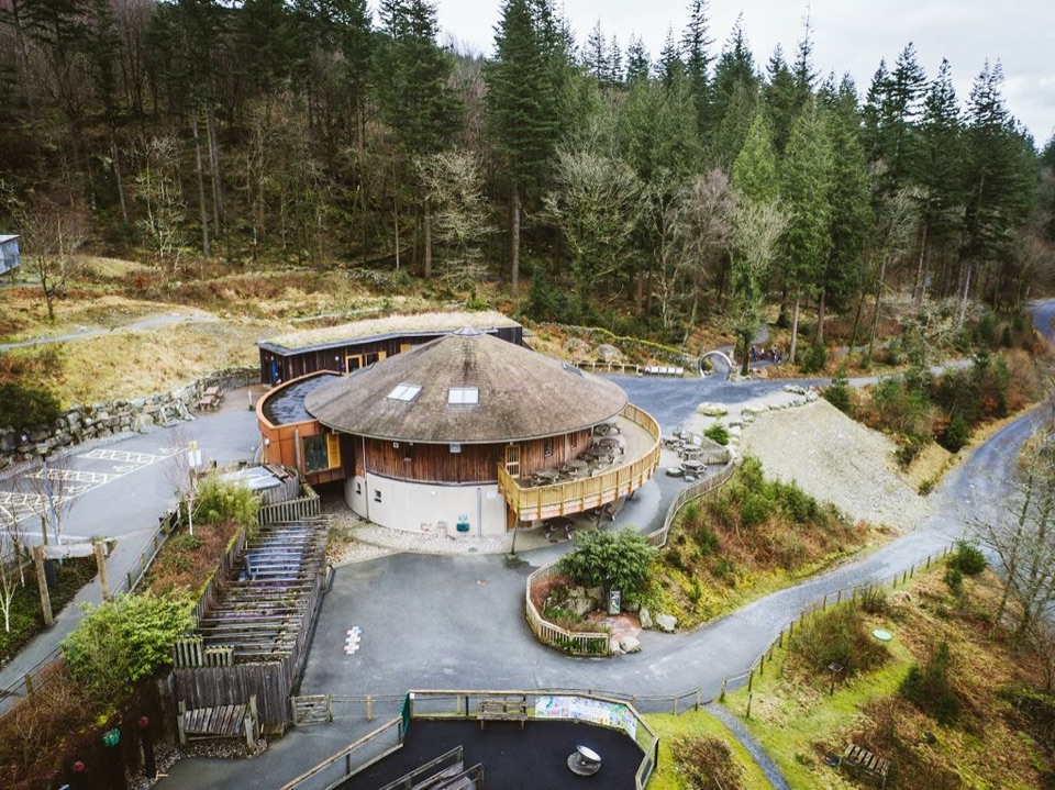 Visitor center · 9.3 km awayCoed y Brenin Visitor CentreBritain’s first purpose-built mountain-bike centre, now a quiet trailhead
Parkwolf’s Eryri ranking
The audio tour guide for the drive, plus offline maps, trails, and wildlife heatmaps for when the signal drops.




