Parking
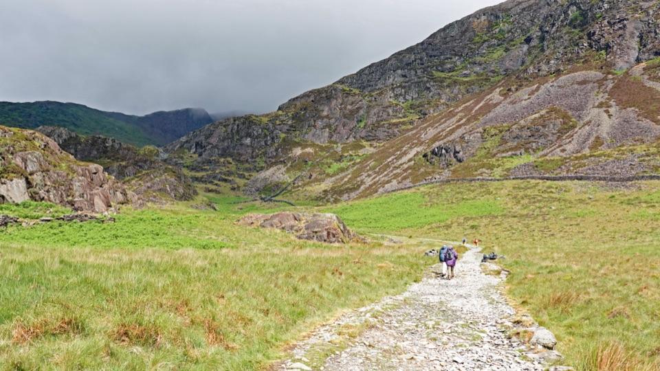
Use Pont Llam yr Ewig Car Park, the marked start of the blue accessible route. Accessible parking, a bench and a picnic table are shown there; Glasdir Car Park serves the separate red 7b circuit.
Eryri National Park, WA
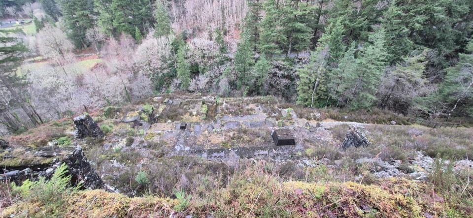
An accessible, surfaced tramway walk to Glasdir’s copper works viewpoint.
Photo: Steven Brown / Geograph Britain and Ireland, CC BY-SA 2.0
Overview
Map & elevation
Plan your hike

The highest, rockiest slopes around here are a summer buffet for grizzly bears.
Eryri Tour Guide
Parkwolf is a GPS audio tour guide for Eryri National Park. As you drive, it chimes in with what’s ahead: hidden gems, upcoming stops, history, geology, and wildlife, right through your car’s speakers.
See the Eryri audio tourRecorded for this area
Glasdir Copper Trail“You're approaching Glasdir Car Park, the start of the Copper Trail through old mine terraces above the Afon Babi gorge.”
Plays on the road 0.6 km from the trailhead in the Parkwolf Eryri Tour Guide.
More stories near here in the app
“Fantastic app with many points of information… It’s great to just turn on while you’re driving and it gives you an audio tour of the national Park. We love it!!!!”


Trail guide
This is a blue-waymarked out-and-back from Pont Llam yr Ewig Car Park to a viewpoint over the old Glasdir copper workings. The mapped corridor is about 0.31 mile each way, so this entry records 0.62 mile round trip. Allow about 30 minutes. The leaflet lists 800 m (½ mile) but does not say whether that is one leg or the return; this distance counts the mapped line out and back. The route is described as accessible, 1.5 m wide and well surfaced, with passing bays every 50 m and resting points every 150 m. The leaflet calls it flat, though elevation samples put the viewpoint below the car park, so expect an uphill return.
The tramway reaches a viewpoint above stone terraces cut into the wooded hillside. A numbered stop on the route links to an audio story about the copper works. The view looks down across the old workings; frame the terraces with the wooded slope behind them to show how they sit in the hillside.
Start at Pont Llam yr Ewig Car Park, where the map marks accessible parking, a bench and a picnic table. Do not confuse this with Glasdir Car Park, which starts the separate red 7b circuit: 1.9 km (1¼ miles), moderate, and rougher underfoot with mud, rocks, roots and steps. Toilets and drinking water are not identified on the trail map.
Wildlife
 80 sightingsGrey HeronMost seen around 7 AMSighting map
 10 sightingsEuropean BadgerMost seen around 8 PMSighting map
 17 sightingsTawny OwlMost seen around 6 AMSighting map
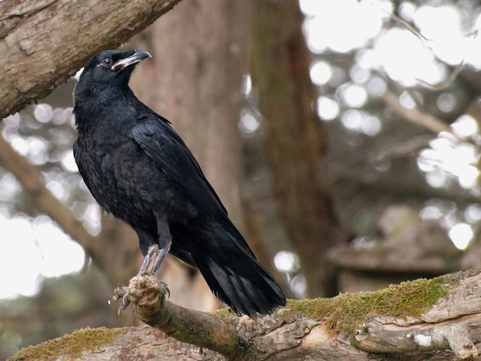 36 sightingsCommon RavenMost seen around 8 AMSighting map
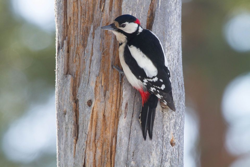 21 sightingsGreat Spotted WoodpeckerMost seen around 7 AMSighting map
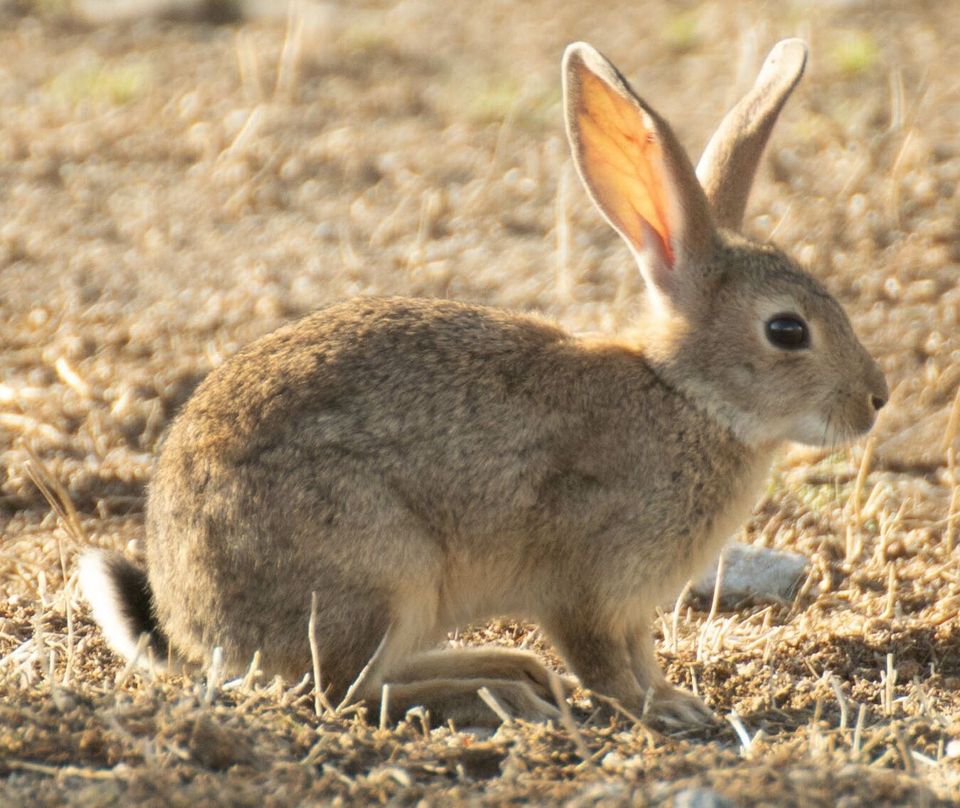 18 sightingsEuropean RabbitMost seen around 7 AMSighting map
Sighting maps show where each species has been reported across Eryri. Wildlife moves, so no sighting is guaranteed.
Keep exploring
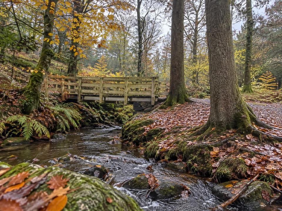 EasyForest Garden Trail0.3 km · 20 min · At the trailheadA flat path to a waterfall viewpoint, suitable for wheelchairs
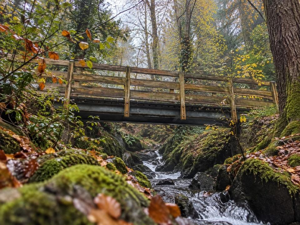 EasyForest Garden Discovery Trail0.6 km · 45 min · 0.1 km awaySteep little loop past world trees, a waterfall bridge and folklore postsModerateGlasdir Copper Trail2.1 km · 45 min · 0.6 km awayStepped loop through old copper workings above the Afon Babi gorge
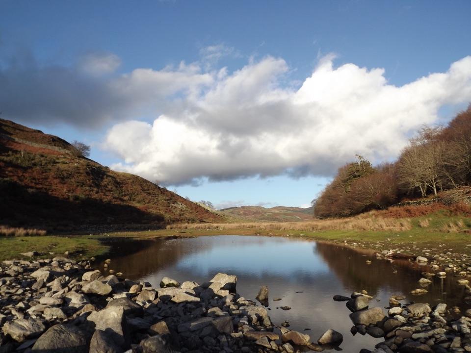 ModeratePrecipice Walk5.3 km · 2 hr · 1.5 km awayHigh-level circuit above the Mawddach with lake, oaks and mountain views
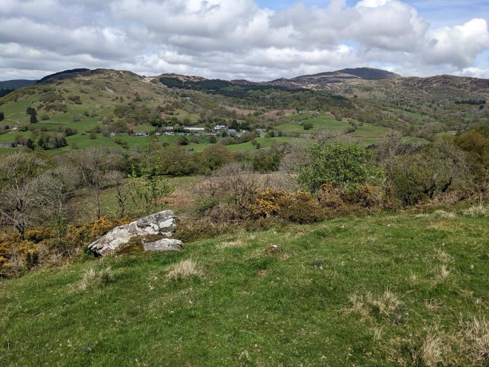 ModerateFoel Offrwm Circular4 km · 1 hr · 1.5 km awayA short woodland and estate loop with wide south Meirionnydd views
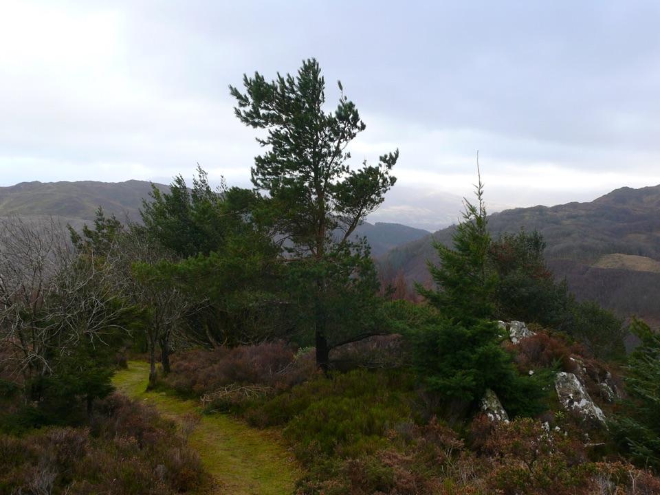 ChallengingPenrhos Mountain Trail5.1 km · 2 hr · 1.6 km awayRooty riverside climb to a heather summit bench and mountain views
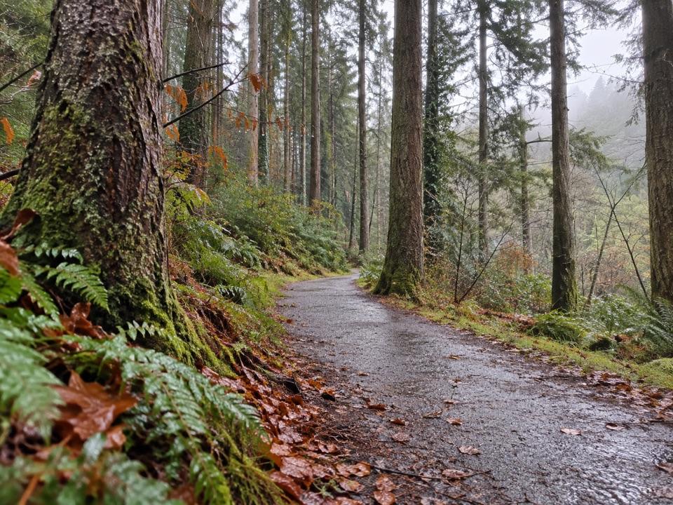 EasyThe King’s Guards Trail0.8 km · 15 min · 1.6 km awayFlat riverside loop through giant Douglas firs to the King
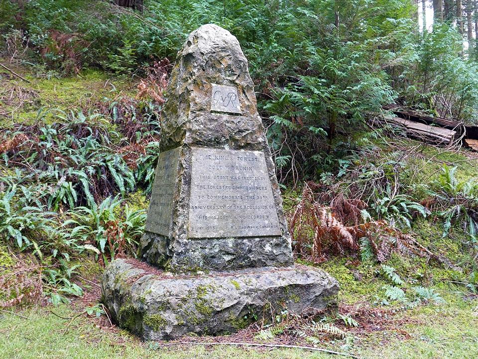 EasyThe King's Champion Trail1 km · 30 min · 1.6 km awayShort riverside loop to giant Douglas firs and the tallest tree
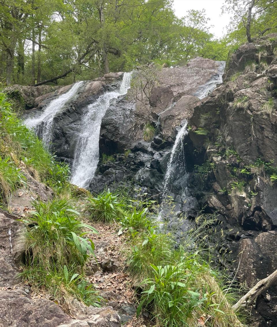 Sight · 2.8 km awayRhaeadr Ddu (Black Falls)Two mossy cascades drop about 60 feet through ancient oak woodland
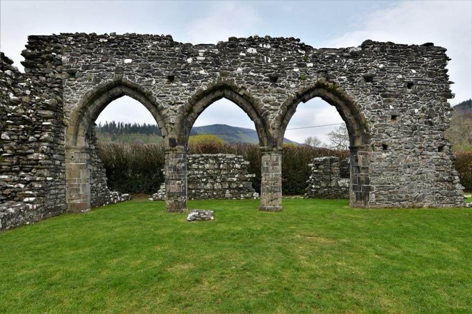 Sight · 3.8 km awayCymer AbbeyThree medieval arches frame the Mawddach valley
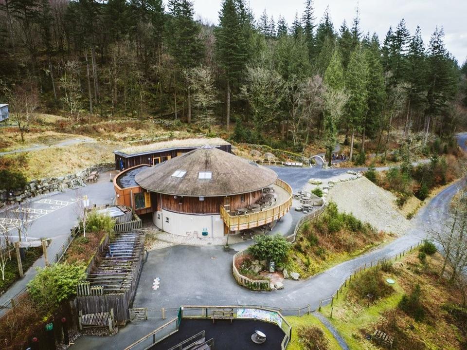 Visitor center · 4.7 km awayCoed y Brenin Visitor CentreBritain’s first purpose-built mountain-bike centre and a forest trail hub
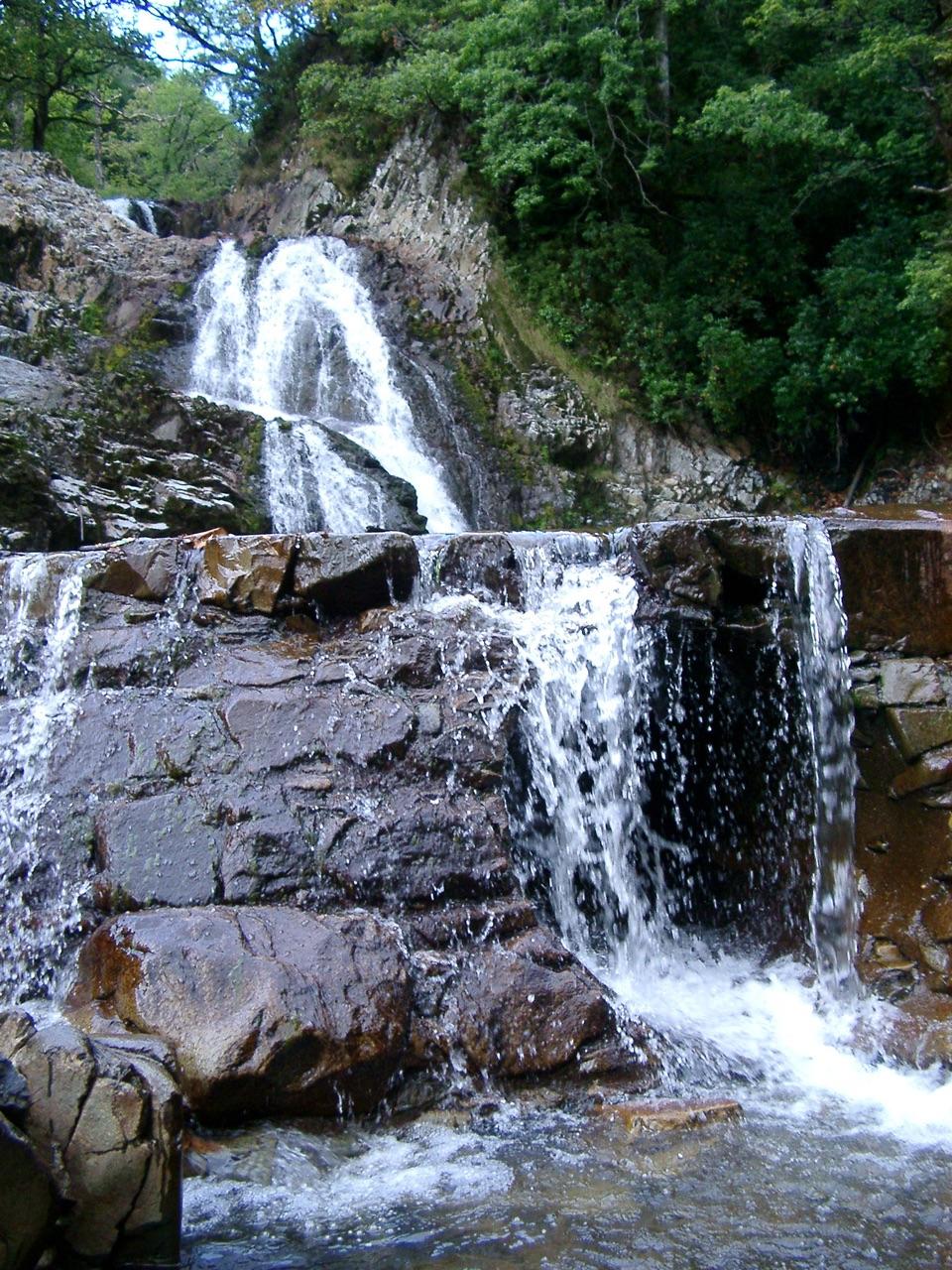 Sight · 5 km awayRhaeadr MawddachA rain-fed cascade beside old gold workings in deep woodland
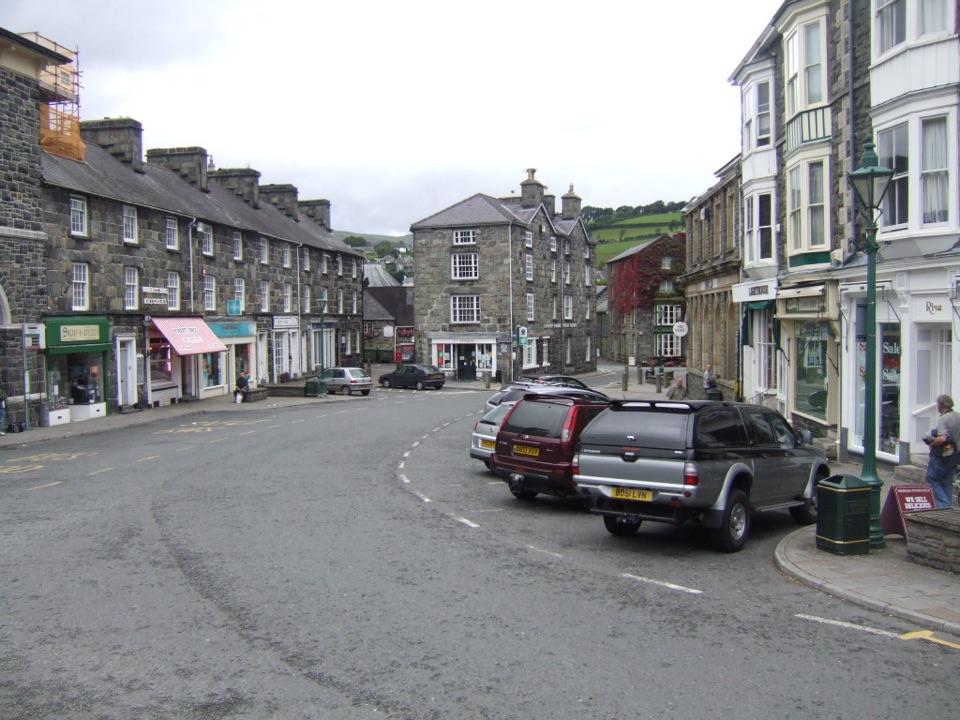 Sight · 5 km awayDolgellauGrey dolerite townscape and tangled lanes beneath Cader Idris
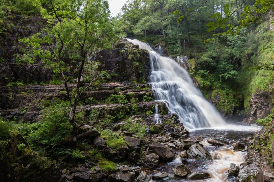 Sight · 5.1 km awayPistyll CainA forest waterfall on a walk past rivers and an old goldmine
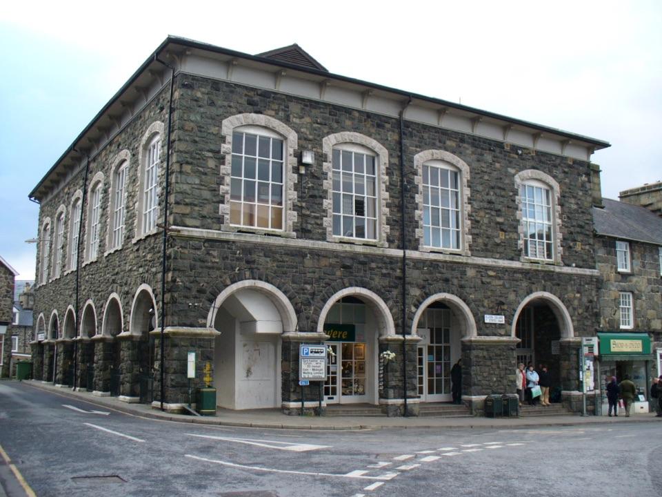 Sight · 5.1 km awayTŷ SiamasA Welsh folk-music centre in a handsome former market hall
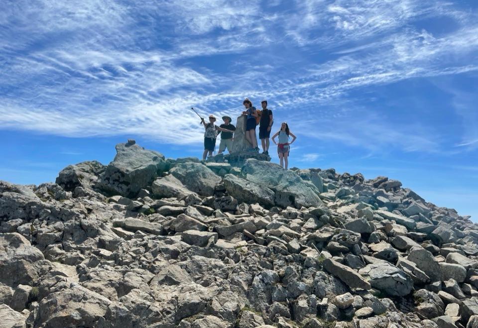 Sight · 10.1 km awayCader IdrisA high rocky summit above the dark bowl of Llyn Cau
Parkwolf’s Eryri ranking

The audio tour guide for the drive, plus offline maps, trails, and wildlife heatmaps for when the signal drops.