Parking
Saith Groesffordd Car Park, Llanfachreth (SH 746 212); toilet facilities are available at the car park.
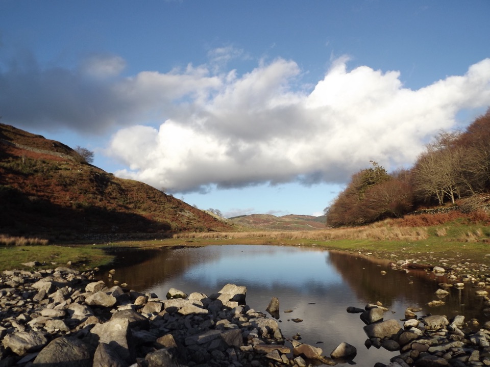
Eryri National Park, WA
High-level circuit above the Mawddach with lake, oaks and mountain views
Overview
Map & elevation
Plan your hike

The highest, rockiest slopes around here are a summer buffet for grizzly bears.
Eryri Tour Guide
Parkwolf is a GPS audio tour guide for Eryri National Park. As you drive, it chimes in with what’s ahead: hidden gems, upcoming stops, history, geology, and wildlife, right through your car’s speakers.
Recorded for this trailhead
Precipice Walk and Llyn Cynwch“You're approaching Saith Groesffordd, the start of the Precipice Walk above the Mawddach valley.”
Plays as you drive up to this trailhead in the Parkwolf Eryri Tour Guide.
More stories near here in the app
“Fantastic app with many points of information… It’s great to just turn on while you’re driving and it gives you an audio tour of the national Park. We love it!!!!”


Trail guide
Precipice Walk, or Llwybr Cynwch, is a circular route of about 3.3 miles (5.3 km) starting and finishing at Saith Groesffordd Car Park near Llanfachreth, just outside Dolgellau. Allow around 2 hours. It sits at roughly 800 ft above sea level and stays there, so there is very little climbing and descending once you are up.
The payoff is the middle section: a level, high shelf of ground with the valley dropping away and a broad sweep of hills, including Cadair Idris, the Rhinogydd, the Moelwynion, the Aran and the Arenig.
This is a moderate and popular walk rather than a hard one, but it is not a stroll on a surfaced path. Some sections are steep or unsurfaced, and the open stretches are exposed. Walking boots and waterproof layers are essential. It works well as an adventurous family outing, given that some sections are steep or unsurfaced and parts of the route are open and exposed.
Start and finish at Saith Groesffordd Car Park, Llanfachreth (OS grid reference SH 746 212), which has toilet facilities.
The route crosses the historical Nannau estate, which has invited public use since 1890. It is not a public footpath, so use the proper access points, stick to the indicated route and follow the Countryside Code. Keep dogs on a lead.
The lake is a working reservoir supplying nearby Dolgellau, so treat it as scenery and a place to walk beside rather than somewhere to get in the water.
This is not a high mountain summit day. Its value is in the views, the lake, the woodland and the estate history, all reached with modest ascent. The flip side is footing that turns steep or unsurfaced in places, and open sections that are less comfortable in poor weather, so pick a clear day if the views are what you came for.
Wildlife
 77 sightingsGrey HeronMost seen around 7 AMSighting map
 17 sightingsTawny OwlMost seen around 6 AMSighting map
 32 sightingsCommon RavenMost seen around 8 AMSighting map
 21 sightingsGreat Spotted WoodpeckerMost seen around 7 AMSighting map
 18 sightingsEuropean RabbitMost seen around 7 AMSighting map
 161 sightingsViviparous LizardMost seen around 10 AMSighting map
Sighting maps show where each species has been reported across Eryri. Wildlife moves, so no sighting is guaranteed.
Keep exploring
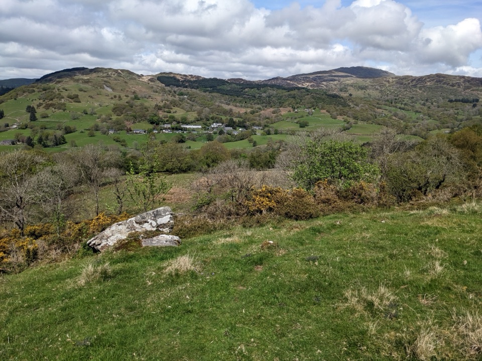 ModerateFoel Offrwm Circular4 km · 1 hr · At the trailheadA short woodland and estate loop with wide south Meirionnydd views
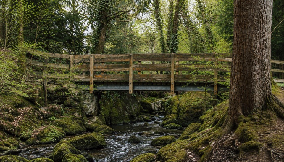 EasyForest Garden Discovery Trail0.6 km · 45 min · 1.3 km awaySteep little loop past world trees, a waterfall bridge and folklore posts
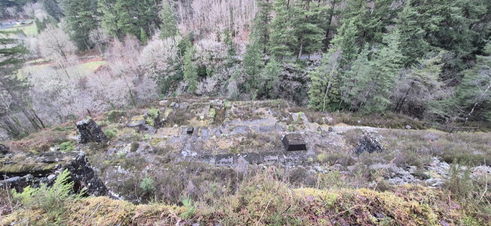 ModerateGlasdir Copper Trail2.1 km · 45 min · 1.8 km awayStepped loop through old copper workings above the Afon Babi gorge
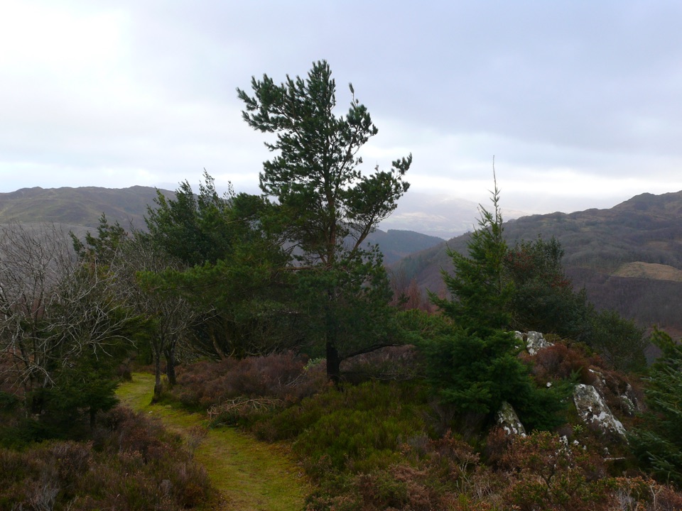 ChallengingPenrhos Mountain Trail5.1 km · 2 hr · 2.8 km awayRooty riverside climb to a heather summit bench and mountain views
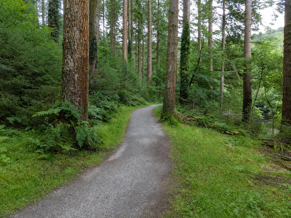 EasyThe King’s Guards Trail0.8 km · 15 min · 2.8 km awayFlat riverside loop through giant Douglas firs to the King
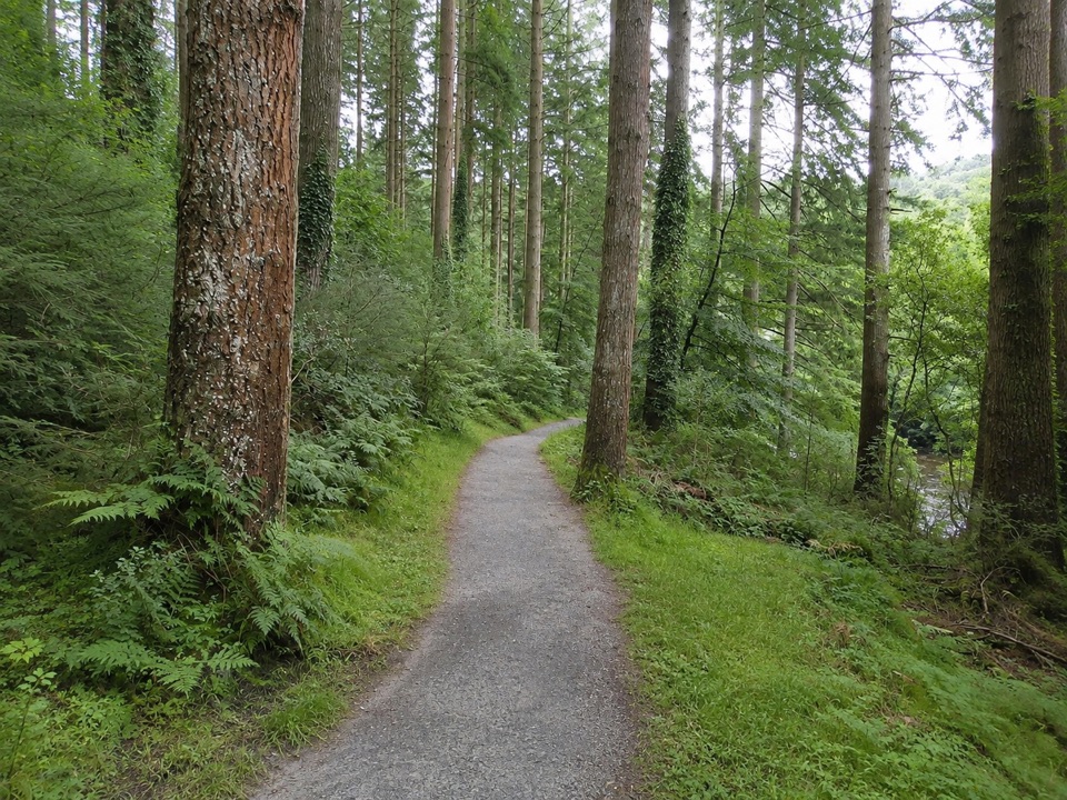 EasyThe King's Champion Trail1 km · 30 min · 2.8 km awayShort riverside loop to giant Douglas firs and the tallest tree
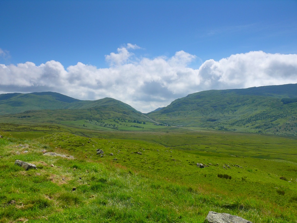 ModerateFoel Caerynwch3.7 km · 1.5 hr · 3.3 km awayA short steep climb to panoramic Meirionnydd hill views from Brithdir
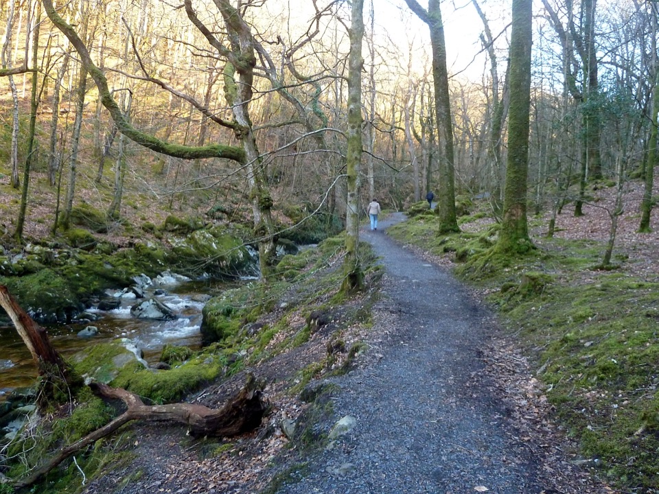 ModerateTorrent Walk4.2 km · 1.3 hr · 3.4 km awayCascades, mossy ravine woodland and mill ruins on a short circular walk
 Sight · 2.9 km awayCymer AbbeyThree medieval arches frame the Mawddach valley
 Sight · 3.8 km awayDolgellauGrey dolerite townscape and tangled lanes beneath Cader Idris
 Sight · 3.8 km awayTŷ SiamasA Welsh folk-music centre in a handsome former market hall
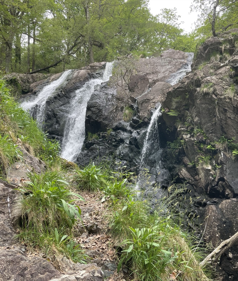 Sight · 4.1 km awayRhaeadr Ddu (Black Falls)Two mossy cascades drop about 60 feet through ancient oak woodland
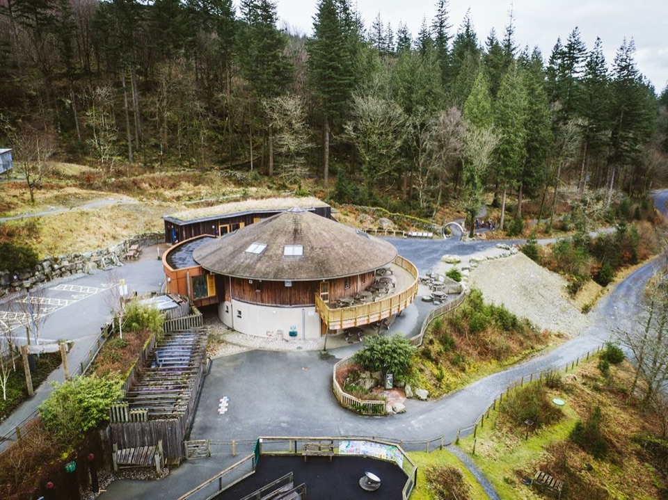 Visitor center · 6.2 km awayCoed y Brenin Visitor CentreBritain’s first purpose-built mountain-bike centre, now a quiet trailhead
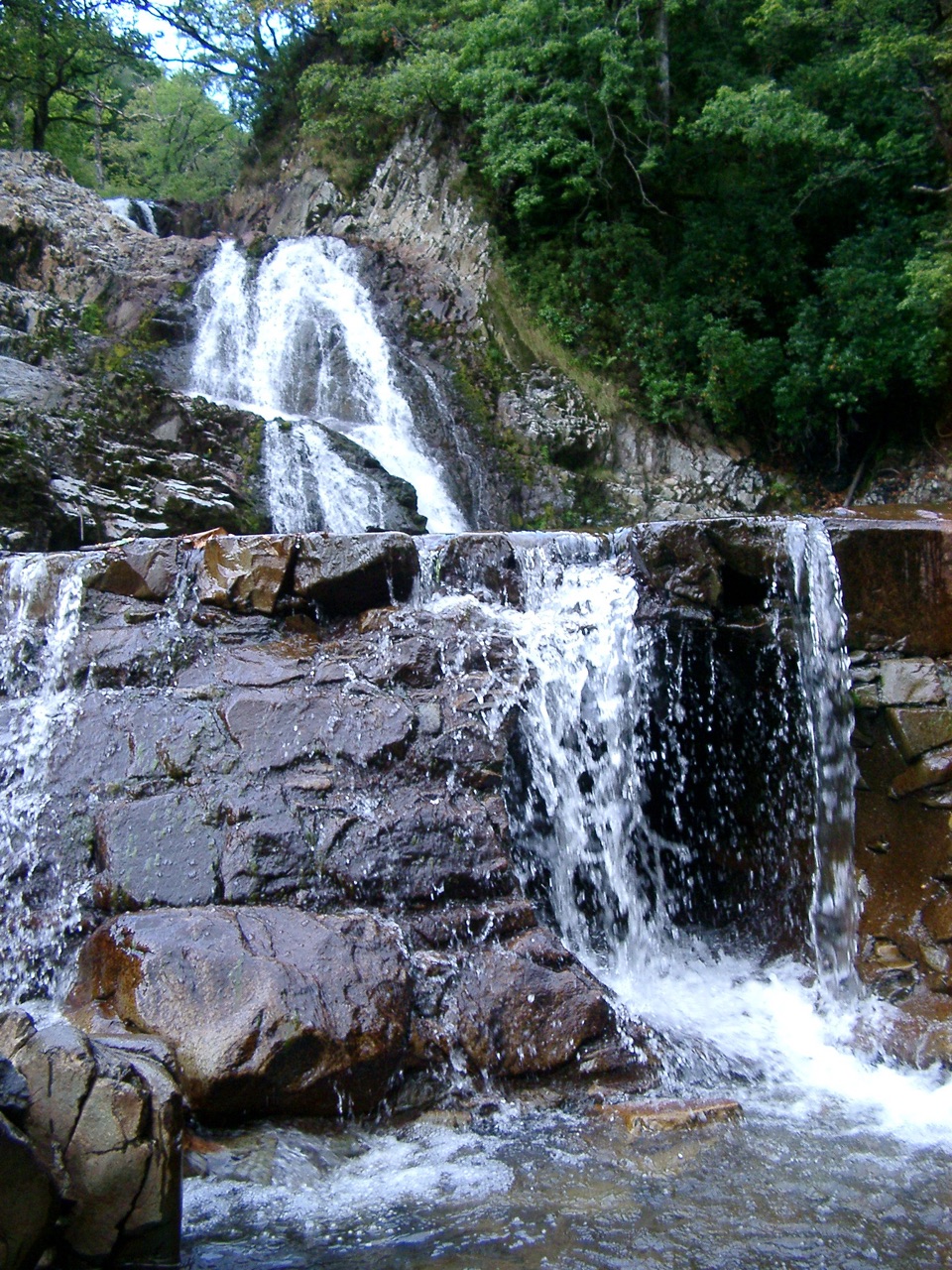 Sight · 6.5 km awayRhaeadr MawddachA rain-fed cascade beside old gold workings in deep woodland
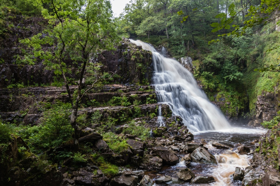 Sight · 6.5 km awayPistyll CainA thunderous forest waterfall reached by an easy-moderate river walk
 Sight · 8.8 km awayCader IdrisA high rocky summit above the dark bowl of Llyn Cau
Parkwolf’s Eryri ranking

The audio tour guide for the drive, plus offline maps, trails, and wildlife heatmaps for when the signal drops.




