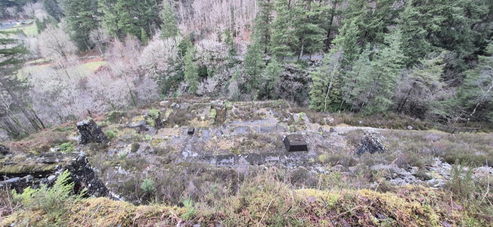
Glasdir Copper Trail in Eryri National Park

Eryri National Park, WA

Glasdir Copper Trail

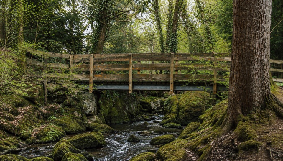
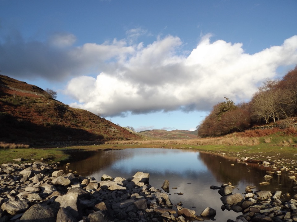
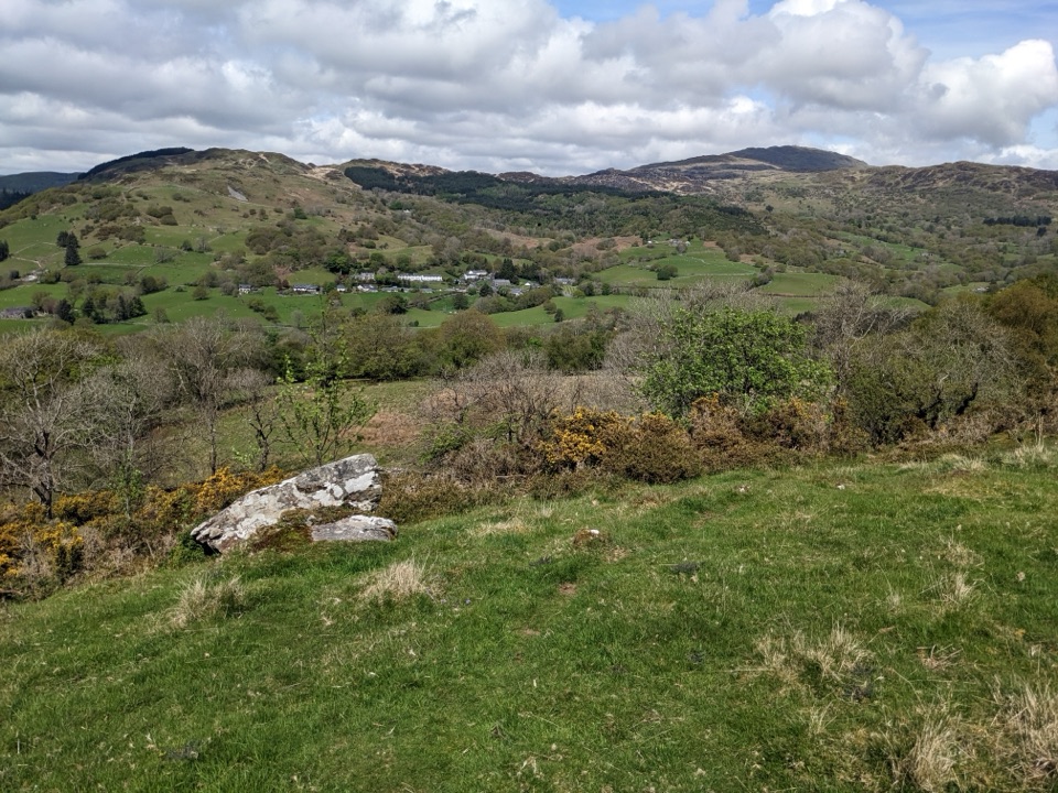
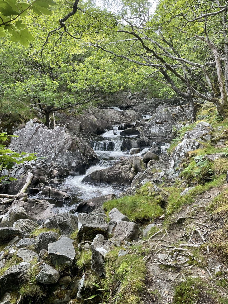
Stepped loop through old copper workings above the Afon Babi gorge

Photo: Wikimedia Commons
Length
2.1km
Time
45min
Elev. change
48m
Difficulty
Moderate
  • Loop
  • Dogs allowed
  • High point 84 m

Hear the audio tour

Glasdir Copper Trail

Overview

About Glasdir Copper Trail

A red waymarked loop from Glasdir Car Park, quoted by distance for the full circuit: 1.3 miles (2 km), about 262 feet (80 m) of climb, and roughly 45 minutes. Graded moderate, and the short distance hides rough, steep ground.

Why go

  • Distinctive copper-mine terraces
  • Short route with a strong historical payoff

Heads up

  • Steep steps and rough, narrow footing
  • Unprotected drops beside old workings

Map & elevation

The route

Loading the Eryri map
Full map
Elevation36–84 m
TrailheadGlasdir Car Park52.78685, -3.87397
Keep this map with you offline in the Parkwolf app

Plan your hike

Before you go

Parking

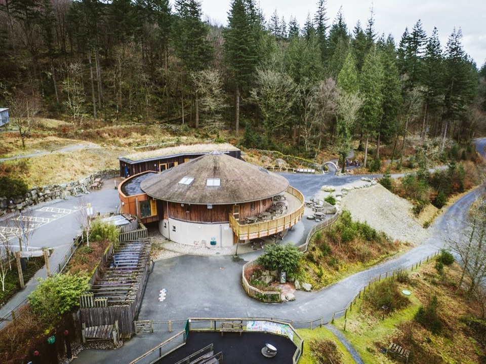
Start at Glasdir Car Park, about six miles north of Dolgellau. From the A470 follow the brown signs for Ty’n y Groes, continue past the picnic site for just over one kilometre, and the car park is on the right. Parking is free; overnight parking is not permitted. LL40 2NW covers a wide area and does not pinpoint the entrance.


Safety

Stay on the red waymarked trail. Old mine workings and buildings can be unsafe, with unprotected drops into river gorges; the route is narrow, uneven and stepped in places.

A park ranger sits on a dash-mounted phone, talking, as Parkwolf’s Tour Guide plays “Army Cutworm Moths: A Grizzly Bear Buffet” on Grand Loop Road below Dunraven Pass in Yellowstone
Parkwolf Tour GuideThe highest, rockiest slopes around here are a summer buffet for grizzly bears.

Eryri Tour Guide

Your drive to Glasdir Copper Trail, narrated.

Parkwolf is a GPS audio tour guide for Eryri National Park. As you drive, it chimes in with what’s ahead: hidden gems, upcoming stops, history, geology, and wildlife, right through your car’s speakers.

Recorded for this trailhead

Glasdir Copper Trail
0:00 / 0:27
“You're approaching Glasdir Car Park, the start of the Copper Trail through old mine terraces above the Afon Babi gorge.”

Plays as you drive up to this trailhead in the Parkwolf Eryri Tour Guide.

More stories near here in the app

  • The Oil Trick at Glasdir
  • The Tails in the Fir Cones
  • The King's Guards at Pont Ty'n-y-groes
  • The Haunted Oak of Nannau
  • 298 audio storiesacross Eryri’s roads, triggered by GPS as you drive
  • Wildlife heatmapsfor Grey Heron, Tawny Owl, Common Raven, and 9 more
  • Works offlinemaps, 120 trails, 82 places, and audio download before you lose signal
  • CarPlay readysimple controls built for the drive
★★★★★
“Fantastic app with many points of information… It’s great to just turn on while you’re driving and it gives you an audio tour of the national Park. We love it!!!!”
JMJamesApp Store review
Download Parkwolf on the App StoreGet Parkwolf on Google Play

4.7 from 8,600+ ratings

Trail guide

Hiking Glasdir Copper Trail

The sequenceFrom the car park the red markers lead through the picnic site and down toward Afon Babi, then…

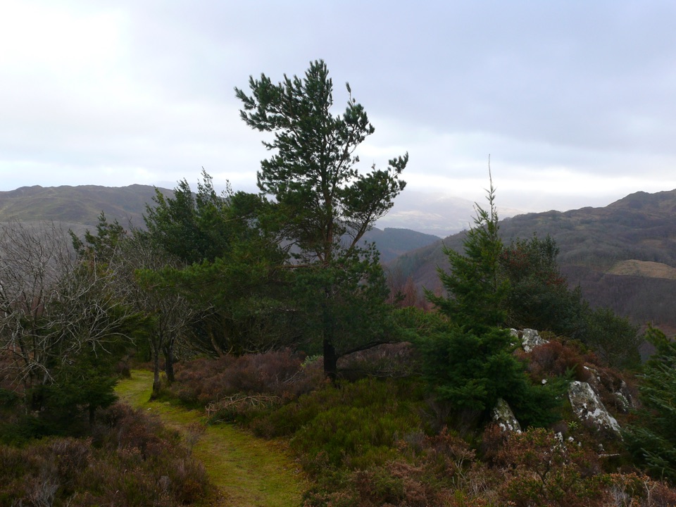
From the car park the red markers lead through the picnic site and down toward Afon Babi, then climb into the old Glasdir copper mine workings. The payoff is the circuit around the high stone mine terraces, with a viewpoint over the workings and the river valley, before the trail returns to the car park.

Footing and safetyNatural Resources Wales asks walkers to stay on the red waymarked trail, as the old workings…

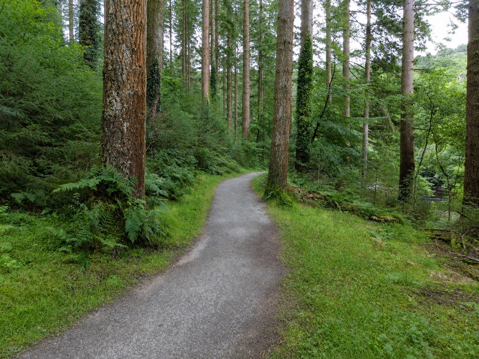
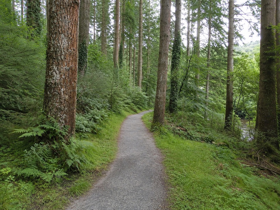
Natural Resources Wales asks walkers to stay on the red waymarked trail, as the old workings and ruined buildings can be unsafe. This is a working forest park, so expect to share tracks with other walkers, cyclists, horses or vehicles at crossings.

  • Narrow in places, often under a metre wide, unmade and uneven.
  • Mud, loose rock and tree roots throughout.
  • Several flights of steps on steep ascents and descents.
  • Unprotected drops into river gorges beside parts of the route.
Mine history and settingThe walk is built around the remains of a copper mine, with stone-built terraces stacked above…

The walk is built around the remains of a copper mine, with stone-built terraces stacked above the valley floor giving the loop its structure and its interest. There is a picnic site with a barbecue beside the river near the start.

Getting there and parkingGlasdir Car Park is about six miles north of Dolgellau.

Glasdir Car Park is about six miles north of Dolgellau. From the A470, follow the brown signs for Ty'n y Groes, continue past the picnic site for just over a kilometre, and the car park is on the right. Parking is free, with no overnight parking. The LL40 2NW postcode covers a wide area and will not pinpoint the entrance, so navigate by the signs.

Mobile coverage can be patchy here. If you plan to use the audio trail, download it before you set out.

DogsDogs are allowed on public footpaths and open access land under Eryri National Park Authority…

Dogs are allowed on public footpaths and open access land under Eryri National Park Authority guidance. Keep your dog under close control on rights of way, use a short lead near livestock or wildlife, and on any open access land use a lead no longer than 2 m from 1 March to 31 July.

An easier alternativeThe same mine can be reached on a separate blue waymarked accessible route from Pont Llam yr…

The same mine can be reached on a separate blue waymarked accessible route from Pont Llam yr Ewig Car Park: about 0.5 mile (0.8 km), 30 minutes, flat, 1.5 m wide and well surfaced with passing bays and resting points. It is a different walk, not a shortcut onto the red loop.

Wildlife

Wildlife in Eryri

All Eryri wildlife maps

Sighting maps show where each species has been reported across Eryri. Wildlife moves, so no sighting is guaranteed.

Keep exploring

Near Glasdir Copper Trail

See it all on the map

Trails that start nearby

Places near the trailhead

Parkwolf’s Eryri ranking

Top-rated trails in Eryri

All 120 trails
  1. 1Yr Wyddfa Pyg Track and Miners’ Track LoopChallenging · 12.1 km
  2. 2Llanberis PathChallenging · 14.5 km
  3. 3Pyg TrackChallenging · 11 km
  4. 4Miners’ TrackChallenging · 12.9 km
  5. 5Cwm Idwal WalkModerate · 4.8 km
  6. 6Watkin PathChallenging · 12.9 km

Take Parkwolf to Eryri.

The audio tour guide for the drive, plus offline maps, trails, and wildlife heatmaps for when the signal drops.

4.7 from 8,600+ ratings

Download Parkwolf on the App StoreGet Parkwolf on Google Play