Parking
Small lay-by on the B4416 near Brithdir, around SH 761 182. If it is full, additional parking is available across the road according to local route information. Do not block entrances or residential access.
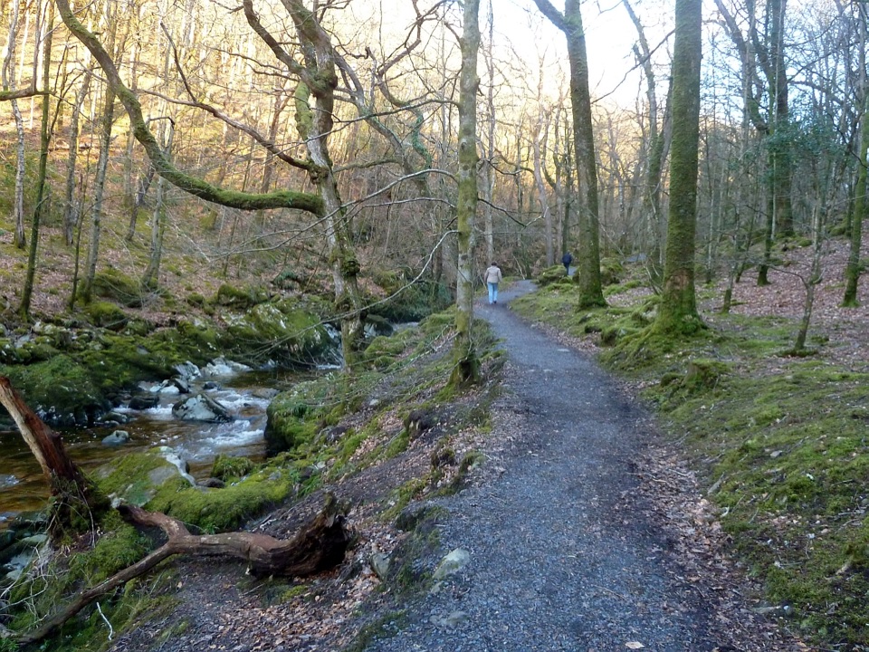
Eryri National Park, WA
Cascades, mossy ravine woodland and mill ruins on a short circular walk
Overview
This is a circular route of 4 km (2.6 miles) in total, starting and finishing at the small lay-by beside the B4416 near Brithdir. The official time is 1 hour, but most people take 1 to 2 hours once you allow for stops, careful footing and photos. The National Park Authority grades it Moderate, aimed at walkers with some countryside experience and reasonable fitness.
If you want wide hill and Mawddach views rather than an enclosed gorge, the nearby Precipice Walk is a more open, high-level alternative. The two pair well on the same trip because they offer completely different scenery. Wear proper footwear with grip for either.
 Parkwolf’s verdictWorth knowing
Map & elevation
Plan your hike

The highest, rockiest slopes around here are a summer buffet for grizzly bears.
Eryri Tour Guide
Parkwolf is a GPS audio tour guide for Eryri National Park. As you drive, it chimes in with what’s ahead: hidden gems, upcoming stops, history, geology, and wildlife, right through your car’s speakers.
Recorded for this trailhead
Torrent Walk“You're approaching the B4416 lay-by for Torrent Walk near Brithdir, a loop through the Afon Clywedog's wooded ravine.”
Plays as you drive up to this trailhead in the Parkwolf Eryri Tour Guide.
More stories near here in the app
“Fantastic app with many points of information… It’s great to just turn on while you’re driving and it gives you an audio tour of the national Park. We love it!!!!”


Trail guide
From the lay-by, walk about 100 yards along the road towards Pont ar Ddibyn, passing the first signpost. At the second Torrent Walk signpost, go through the kissing gate and cross the wooden bridge over the ravine. The path then follows the Afon Clywedog under woodland, passing Mary Richards's commemorative bench and three large boulders. At the lower road, turn right over Pont Clywedog, pass the old mill entrance, then turn right opposite Clywedog Lodge and up the narrow, steep wooded road. At the next signpost, take the path along the ravine back to the start.
Expect steep and unsurfaced woodland paths in places, stone steps, tree roots and uneven ground. It gets slippery and muddy when wet, and the stone steps are the section walkers most often mention. Several stretches run close to steep ravine edges above fast-moving water, so keep children close and dogs under particularly close control. The short road sections at each end are narrow, so watch for traffic.
The payoff is the ravine itself: a deep wooded gorge with the river rushing through a long series of cascades and small waterfalls, and banks thick with moss, ferns, lichens and liverworts under mixed woodland. The ravine is a Site of Special Scientific Interest. The three big boulders were carried here by glacial forces nearly 10,000 years ago. Near Pont Clywedog there are industrial remains, including an early 18th century iron furnace and the former woollen mill and warehouse buildings. Otters, dormice and lesser horseshoe bats are supported by this habitat, though you should not count on seeing any of them.
The walk works year round and the woodland shade makes it a good warm-weather choice. Wet spells make the falls noticeably more dramatic, which is when the ravine is at its most atmospheric, and also when the footing needs the most care. For photography, soft overcast light or the diffuse light under the canopy suits the moss, ferns and moving water far better than harsh midday sun, and a longer exposure helps with the cascades.
Wildlife
 77 sightingsGrey HeronMost seen around 7 AMSighting map
 17 sightingsTawny OwlMost seen around 6 AMSighting map
 32 sightingsCommon RavenMost seen around 8 AMSighting map
 21 sightingsGreat Spotted WoodpeckerMost seen around 7 AMSighting map
 18 sightingsEuropean RabbitMost seen around 7 AMSighting map
 161 sightingsViviparous LizardMost seen around 10 AMSighting map
Sighting maps show where each species has been reported across Eryri. Wildlife moves, so no sighting is guaranteed.
Keep exploring
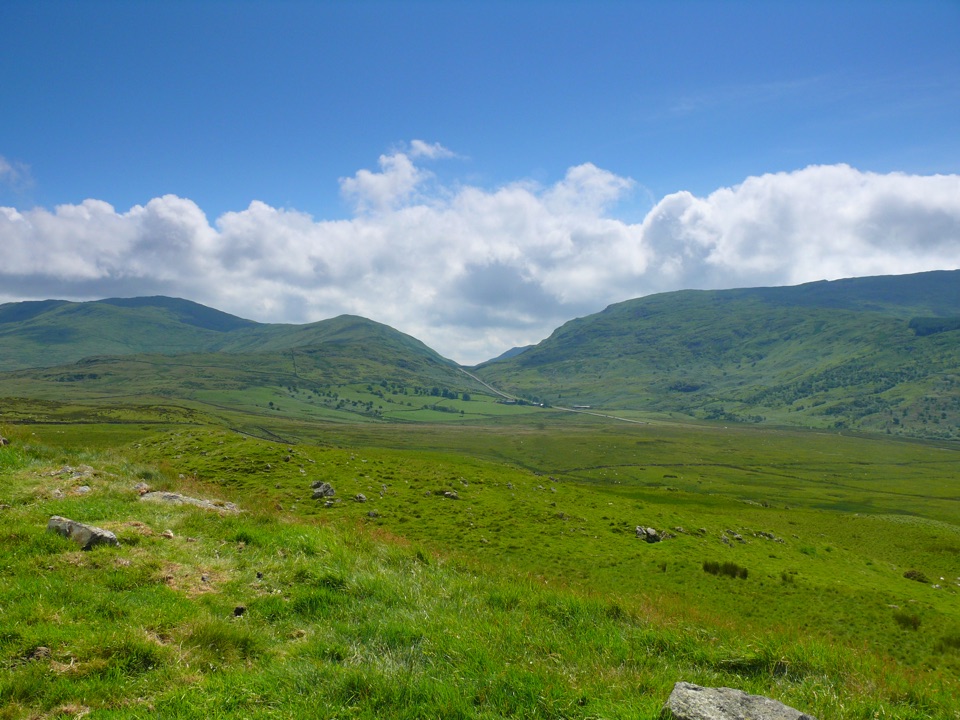 ModerateFoel Caerynwch3.7 km · 1.5 hr · 1.1 km awayA short steep climb to panoramic Meirionnydd hill views from Brithdir
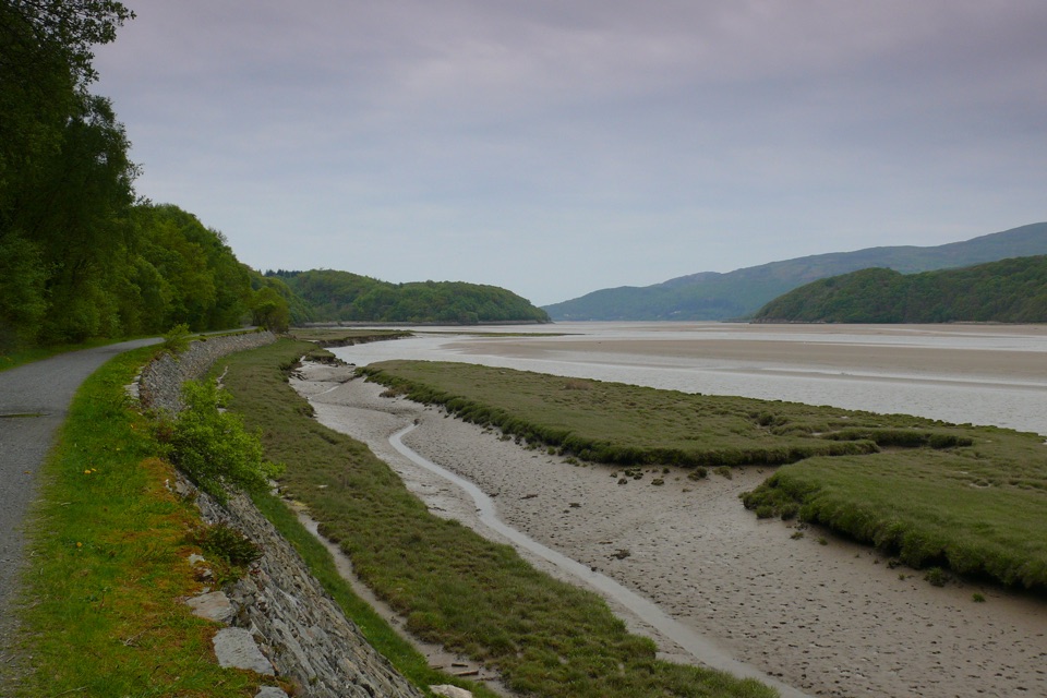 EasyMawddach Trail15 km · 6 hr · 3.3 km awayFlat estuary railway path from Dolgellau to Barmouth, wheelchair friendly
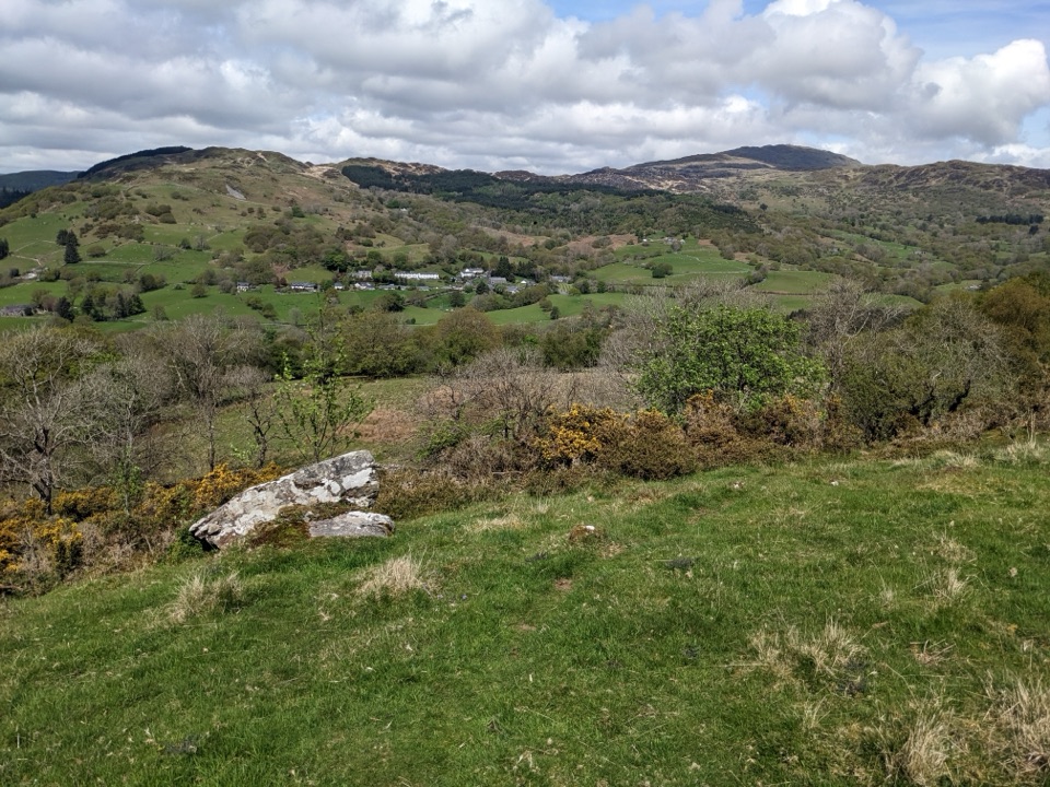 ModerateFoel Offrwm Circular4 km · 1 hr · 3.4 km awayA short woodland and estate loop with wide south Meirionnydd views
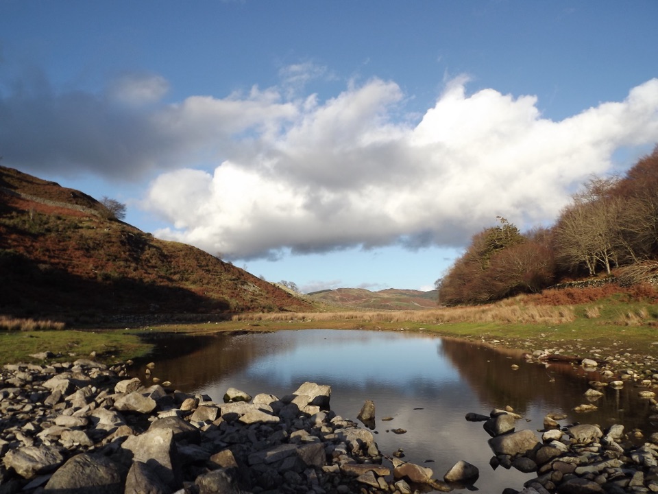 ModeratePrecipice Walk5.3 km · 2 hr · 3.4 km awayHigh-level circuit above the Mawddach with lake, oaks and mountain views
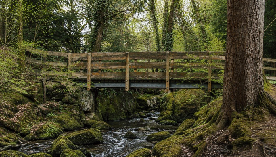 EasyForest Garden Discovery Trail0.6 km · 45 min · 4.7 km awaySteep little loop past world trees, a waterfall bridge and folklore posts
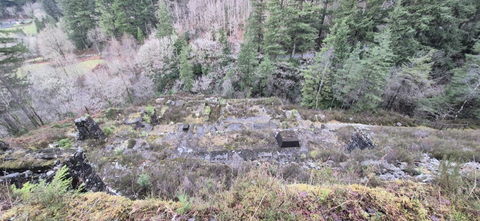 ModerateGlasdir Copper Trail2.1 km · 45 min · 5.1 km awayStepped loop through old copper workings above the Afon Babi gorge
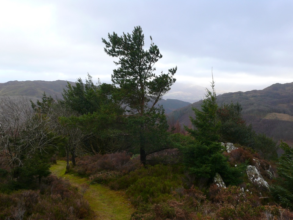 ChallengingPenrhos Mountain Trail5.1 km · 2 hr · 6.1 km awayRooty riverside climb to a heather summit bench and mountain views
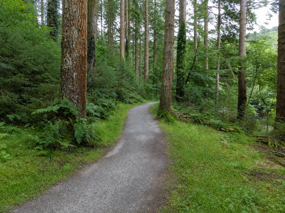 EasyThe King’s Guards Trail0.8 km · 15 min · 6.1 km awayFlat riverside loop through giant Douglas firs to the King
 Sight · 3.3 km awayDolgellauGrey dolerite townscape and tangled lanes beneath Cader Idris
 Sight · 3.3 km awayTŷ SiamasA Welsh folk-music centre in a handsome former market hall
 Sight · 4.2 km awayCymer AbbeyThree medieval arches frame the Mawddach valley
 Sight · 7.1 km awayCader IdrisA high rocky summit above the dark bowl of Llyn Cau
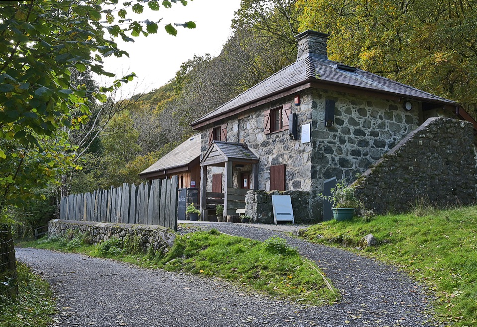 Visitor center · 7.2 km awayCader Idris Visitor CentreA stone mountain base with wildlife exhibits and gentle woodland paths
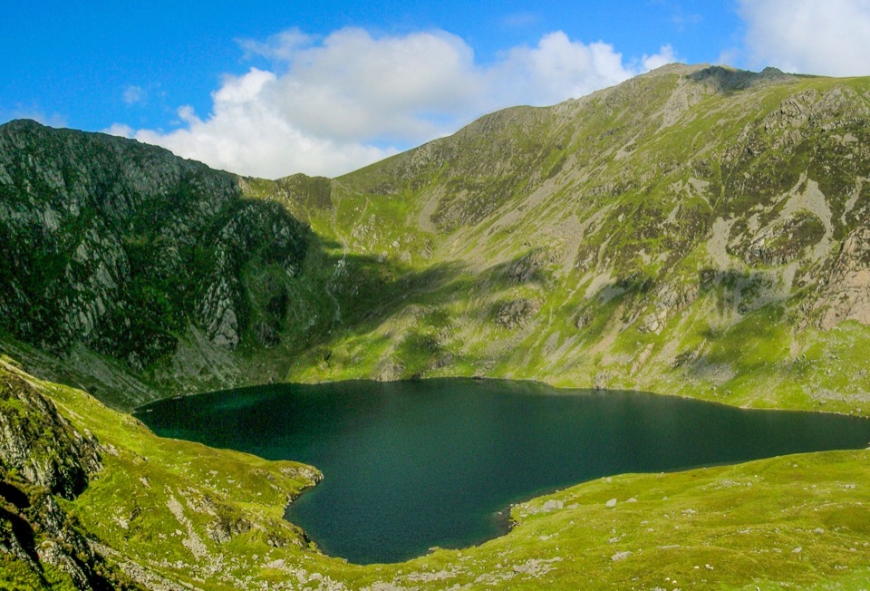 Sight · 7.3 km awayLlyn CauA glacial lake tucked beneath Cadair Idris's steep crater rim
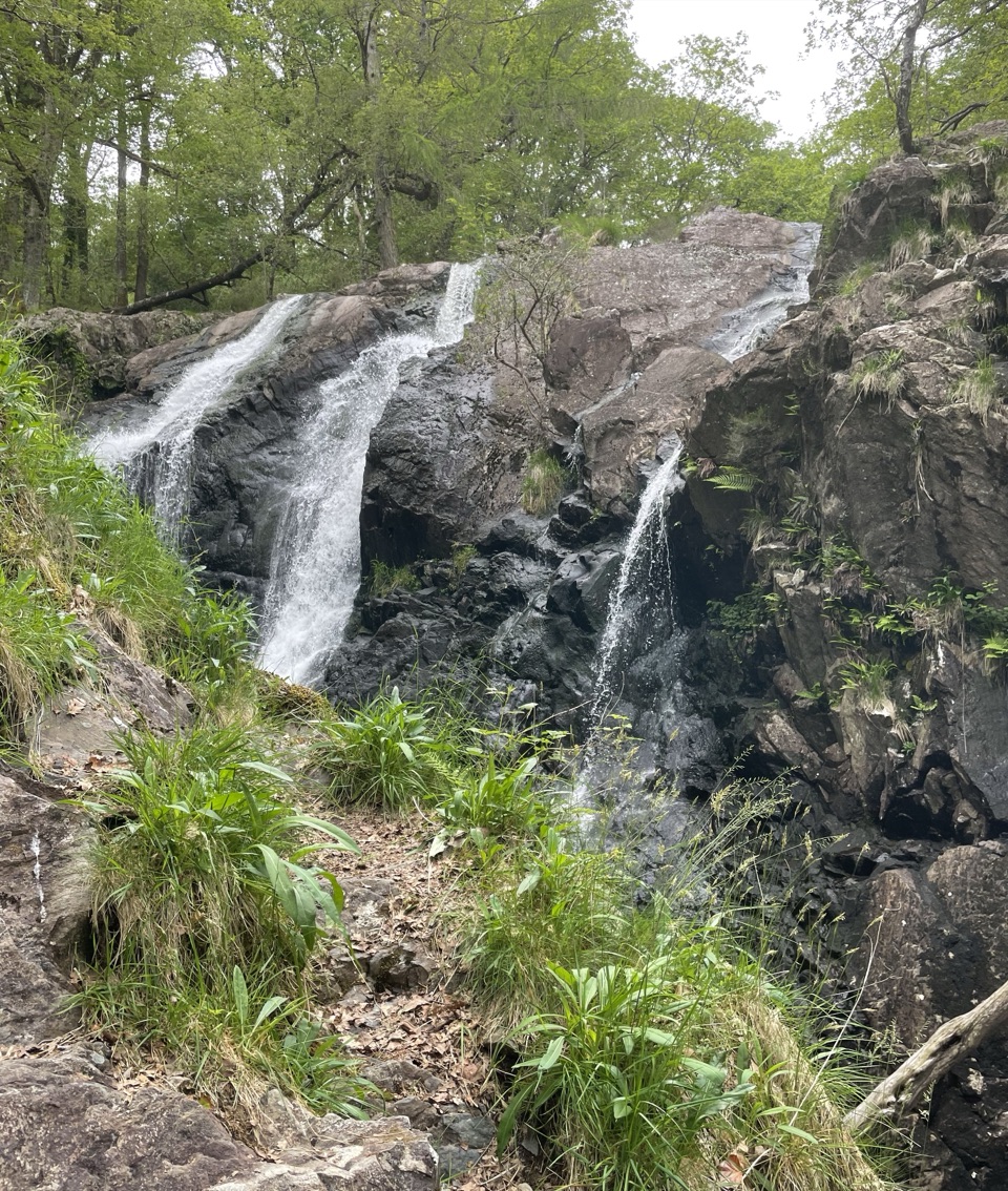 Sight · 7.4 km awayRhaeadr Ddu (Black Falls)Two mossy cascades drop about 60 feet through ancient oak woodland
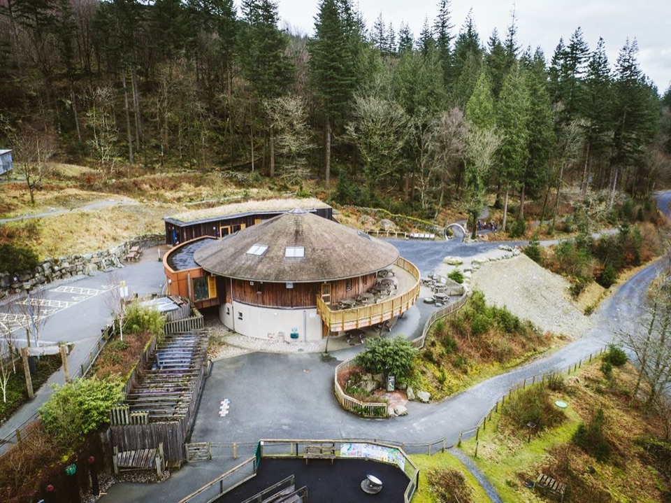 Visitor center · 9.6 km awayCoed y Brenin Visitor CentreBritain’s first purpose-built mountain-bike centre, now a quiet trailhead
Parkwolf’s Eryri ranking
The audio tour guide for the drive, plus offline maps, trails, and wildlife heatmaps for when the signal drops.




