The King's Champion Trail in Eryri National Park

Eryri National Park, WA

The King's Champion Trail

Short riverside loop to giant Douglas firs and the tallest tree

Length
1km
Time
30min
Elev. change
42m
Difficulty
Easy
  • Loop
  • High point 67 m

Hear the audio tour

The King's Guards at Pont Ty'n-y-groes

Overview

About The King's Champion Trail

An easy waymarked loop of 0.6 miles (0.9 km) total round-trip distance, taking about 30 minutes, with 49 feet (15 m) of climb and a maximum slope of 20% (1 in 5). Our own mapping of the loop measures 0.58 miles, so treat 0.6 miles as the working figure. Follow the yellow waymarks from Pont Ty'n-y-groes car park.

Why go

  • giant Douglas firs
  • riverside walk
  • accessible section

Heads up

  • 20% tarmac return

Map & elevation

The route

Loading the Eryri map
Full map
Elevation25–67 m
TrailheadPont Ty'n-y-groes car park52.79297, -3.88500
Keep this map with you offline in the Parkwolf app

Plan your hike

Before you go

Parking

Start at Pont Ty'n-y-groes car park, about 5 miles north of Dolgellau. From the A470, about 200 m after Tyn y Groes Hotel, follow the brown tourist signs to Ty'n y Groes; the car park is 300 m down the hill beside the river Mawddach. Parking is free and overnight parking is not permitted.


Safety

The return uses a short tarmac slope of up to 20% (1 in 5). The complete loop is not described as wheelchair accessible, even though the shared outward section is suitable for wheelchairs. There are no steps or stiles.

A park ranger sits on a dash-mounted phone, talking, as Parkwolf’s Tour Guide plays “Army Cutworm Moths: A Grizzly Bear Buffet” on Grand Loop Road below Dunraven Pass in Yellowstone
Parkwolf Tour GuideThe highest, rockiest slopes around here are a summer buffet for grizzly bears.

Eryri Tour Guide

Your drive to The King's Champion Trail, narrated.

Parkwolf is a GPS audio tour guide for Eryri National Park. As you drive, it chimes in with what’s ahead: hidden gems, upcoming stops, history, geology, and wildlife, right through your car’s speakers.

Recorded for this trailhead

The King's Guards at Pont Ty'n-y-groes
0:00 / 0:26
“You're coming up on Pont Ty'n-y-groes, where a short path leads to Coed y Brenin's biggest Douglas firs. The blue King's Guards loop follows the Mawddach to a giant called the King, then returns in about fifteen minutes.”

Plays as you drive up to this trailhead in the Parkwolf Eryri Tour Guide.

More stories near here in the app

  • Glasdir Copper Trail
  • Rhaeadr Ddu at Ganllwyd
  • The Tails in the Fir Cones
  • The Oil Trick at Glasdir
  • 298 audio storiesacross Eryri’s roads, triggered by GPS as you drive
  • Wildlife heatmapsfor Grey Heron, Tawny Owl, Common Raven, and 9 more
  • Works offlinemaps, 120 trails, 82 places, and audio download before you lose signal
  • CarPlay readysimple controls built for the drive
★★★★★
“Fantastic app with many points of information… It’s great to just turn on while you’re driving and it gives you an audio tour of the national Park. We love it!!!!”
JMJamesApp Store review
Download Parkwolf on the App StoreGet Parkwolf on Google Play

4.7 from 8,600+ ratings

Trail guide

Hiking The King's Champion Trail

What you walk, in orderThe first section leaves the car park beside the Afon Mawddach on a well-surfaced route about 2…

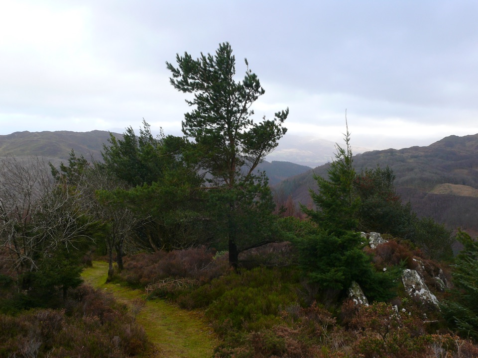
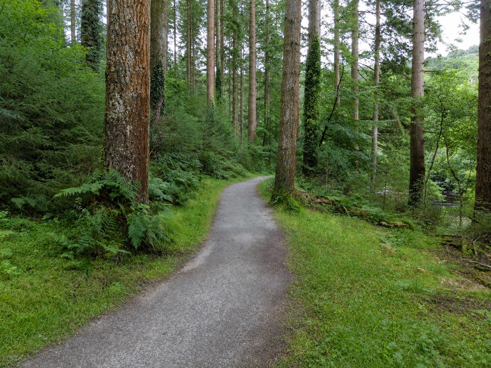
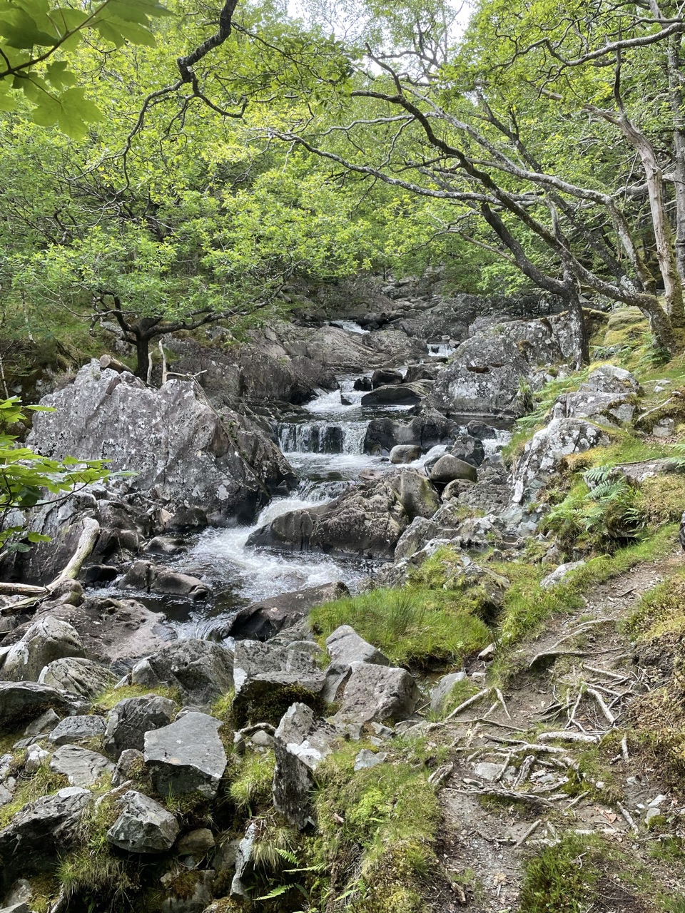
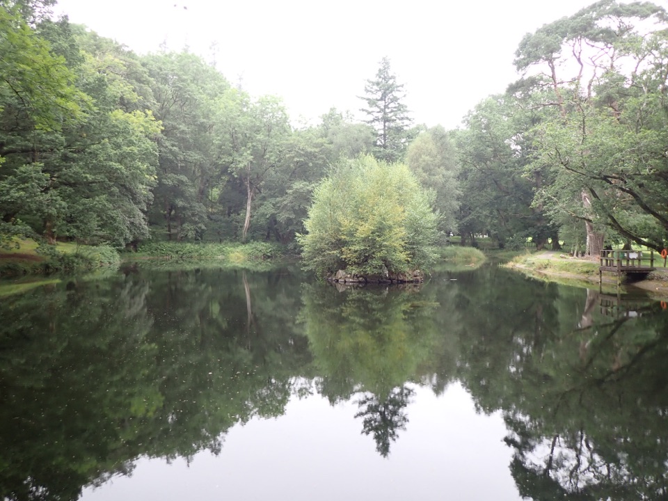
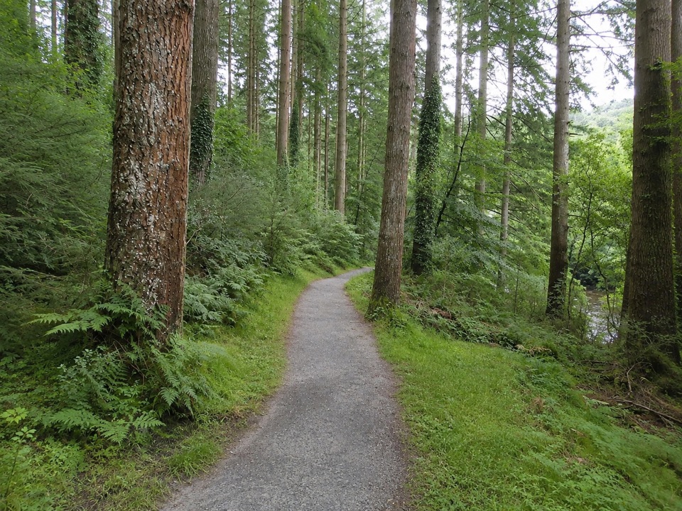
The first section leaves the car park beside the Afon Mawddach on a well-surfaced route about 2 m wide, running along the river and through the picnic area to the biggest Douglas firs. Look for the 'King', the tree with the widest trunk. The path then continues to the King's Champion, described as the tallest tree here, and a commemorative stone, before the return leg brings you back down to the car park.

Difficulty and surfaceGraded Easy, with no steps or stiles.

Graded Easy, with no steps or stiles. The outward section shares a well-surfaced corridor with the King's Guard Trail and is firm underfoot. The final descent is on a tarmac road with a 20% slope, short but noticeably steep, so expect to brake a little on the way down.

Access notesWheelchairs are explicitly supported on the shared, well-surfaced accessible section along the…

Wheelchairs are explicitly supported on the shared, well-surfaced accessible section along the river and through the picnic area to the giant firs. The loop as a whole is not described as wheelchair accessible, mainly because of that steep tarmac return. Official guidance does say the return section is suitable for pushchairs.

Parking and facilitiesStart at Pont Ty'n-y-groes car park, roughly 5 miles north of Dolgellau.

Start at Pont Ty'n-y-groes car park, roughly 5 miles north of Dolgellau. From the A470, about 200 m after the Tyn y Groes Hotel, follow the brown tourist signs for Ty'n y Groes; the car park is 300 m down the hill beside the river. Parking is free, but overnight parking is not permitted. There are toilets and a riverside picnic area at the car park.

Wildlife

Wildlife in Eryri

All Eryri wildlife maps

Sighting maps show where each species has been reported across Eryri. Wildlife moves, so no sighting is guaranteed.

Keep exploring

Near The King's Champion Trail

See it all on the map

Trails that start nearby

Places near the trailhead

Parkwolf’s Eryri ranking

Top-rated trails in Eryri

All 120 trails
  1. 1Yr Wyddfa Pyg Track and Miners’ Track LoopChallenging · 12.1 km
  2. 2Llanberis PathChallenging · 14.5 km
  3. 3Pyg TrackChallenging · 11 km
  4. 4Miners’ TrackChallenging · 12.9 km
  5. 5Cwm Idwal WalkModerate · 4.8 km
  6. 6Watkin PathChallenging · 12.9 km

Take Parkwolf to Eryri.

The audio tour guide for the drive, plus offline maps, trails, and wildlife heatmaps for when the signal drops.

4.7 from 8,600+ ratings

Download Parkwolf on the App StoreGet Parkwolf on Google Play