Parking
Ty'n y Groes Car Park is about five miles north of Dolgellau. From the A470, follow the signed turn near Ty'n y Groes Hotel and continue about 300 m downhill to the Mawddach. Parking is free; overnight parking is not permitted.
Eryri National Park, WA
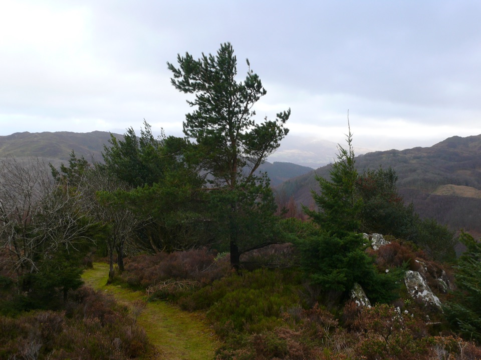
Rooty riverside climb to a heather summit bench and mountain views
Overview
Map & elevation
Plan your hike

The highest, rockiest slopes around here are a summer buffet for grizzly bears.
Eryri Tour Guide
Parkwolf is a GPS audio tour guide for Eryri National Park. As you drive, it chimes in with what’s ahead: hidden gems, upcoming stops, history, geology, and wildlife, right through your car’s speakers.
Recorded for this trailhead
The King's Guards at Pont Ty'n-y-groes“You're coming up on Pont Ty'n-y-groes, where a short path leads to Coed y Brenin's biggest Douglas firs. The blue King's Guards loop follows the Mawddach to a giant called the King, then returns in about fifteen minutes.”
Plays as you drive up to this trailhead in the Parkwolf Eryri Tour Guide.
More stories near here in the app
“Fantastic app with many points of information… It’s great to just turn on while you’re driving and it gives you an audio tour of the national Park. We love it!!!!”


Trail guide
The Penrhos Mountain Trail is a circular walk of 3.2 miles / 5.2 km total from Ty'n y Groes car park, graded strenuous, with about 564 feet / 172 metres of climb and around 2 hours of walking. Follow the green waymarks, which run from start to finish.
The trail sets off alongside the Afon Mawddach beneath large Douglas firs, then crosses a tarmac road and starts climbing through mixed woodland. The gradient earns you the open top: a viewpoint on Penrhos clad in heather and gorse, with a bench at the summit to sit and take it in. From there the path completes the loop and drops back to the car park.
The summit outlook takes in Y Garn, Cadair Idris and Rhobell Fawr, so it is worth timing your break for the bench rather than pressing straight on.
This is a genuine hill walk rather than a forest stroll, and the surface is the main challenge.
It works well as an introduction to mountain walking, but the strenuous grade is worth taking seriously.
Parking at Ty'n y Groes car park is free, though overnight parking is not permitted. There are toilets at the car park, and an information panel at the trail start.
Wildlife
 77 sightingsGrey HeronMost seen around 7 AMSighting map
 17 sightingsTawny OwlMost seen around 6 AMSighting map
 32 sightingsCommon RavenMost seen around 8 AMSighting map
 21 sightingsGreat Spotted WoodpeckerMost seen around 7 AMSighting map
 18 sightingsEuropean RabbitMost seen around 7 AMSighting map
 161 sightingsViviparous LizardMost seen around 10 AMSighting map
Sighting maps show where each species has been reported across Eryri. Wildlife moves, so no sighting is guaranteed.
Keep exploring
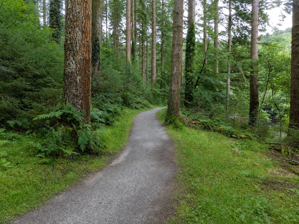 EasyThe King’s Guards Trail0.8 km · 15 min · At the trailheadFlat riverside loop through giant Douglas firs to the King
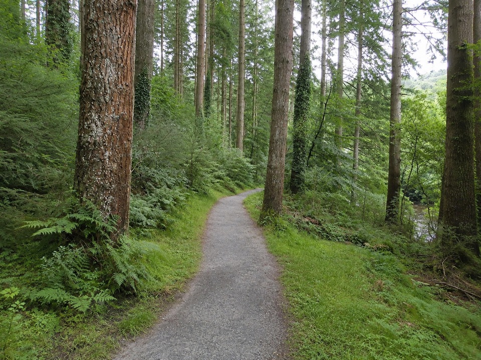 EasyThe King's Champion Trail1 km · 30 min · At the trailheadShort riverside loop to giant Douglas firs and the tallest tree
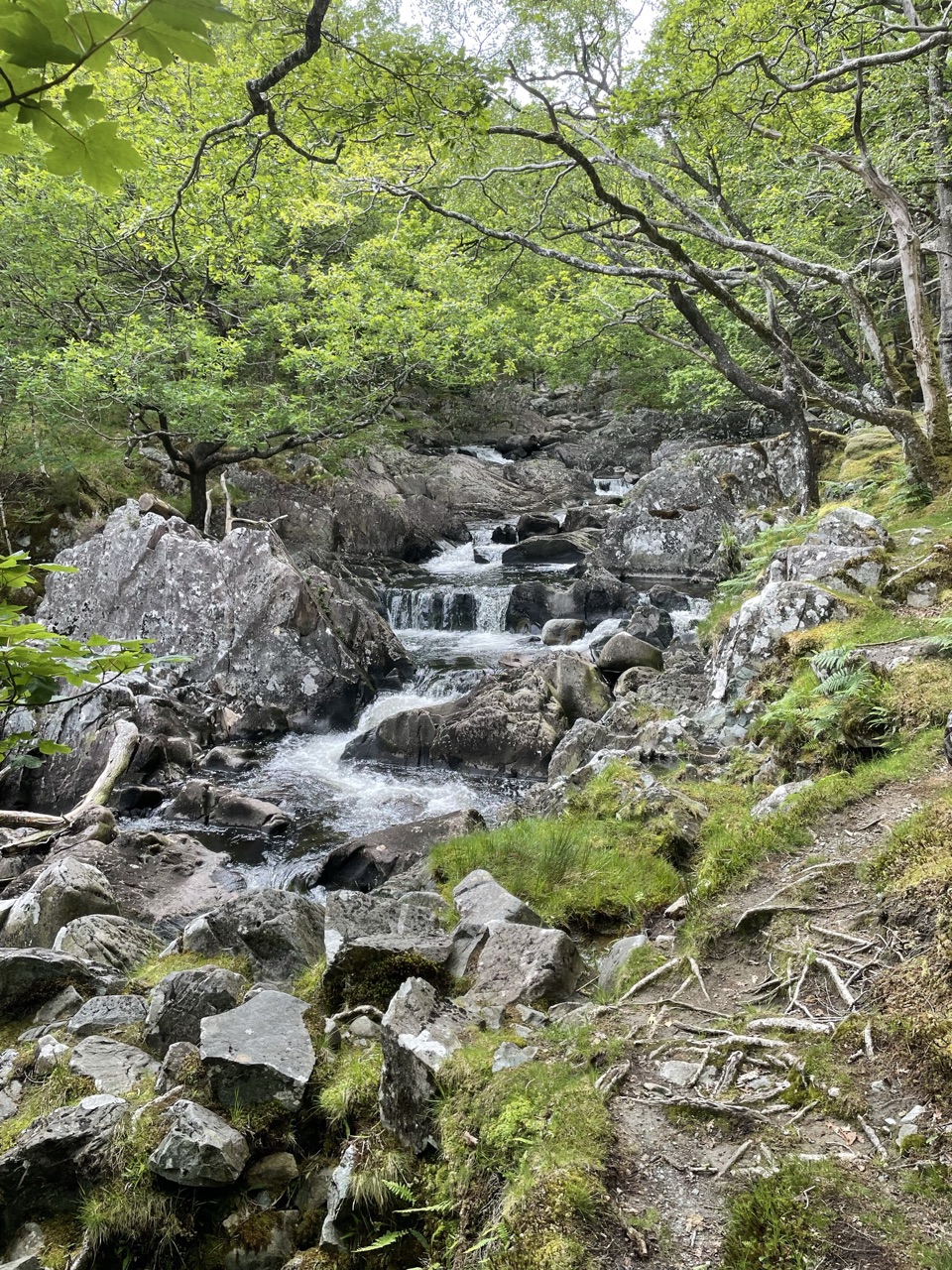 ModerateDolmelynllyn Estate Walk6.4 km · 4 hr · 1 km awayBlack Falls, gold-mine ruins and steep woodland on a half-day loop
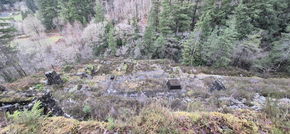 ModerateGlasdir Copper Trail2.1 km · 45 min · 1 km awayStepped loop through old copper workings above the Afon Babi gorge
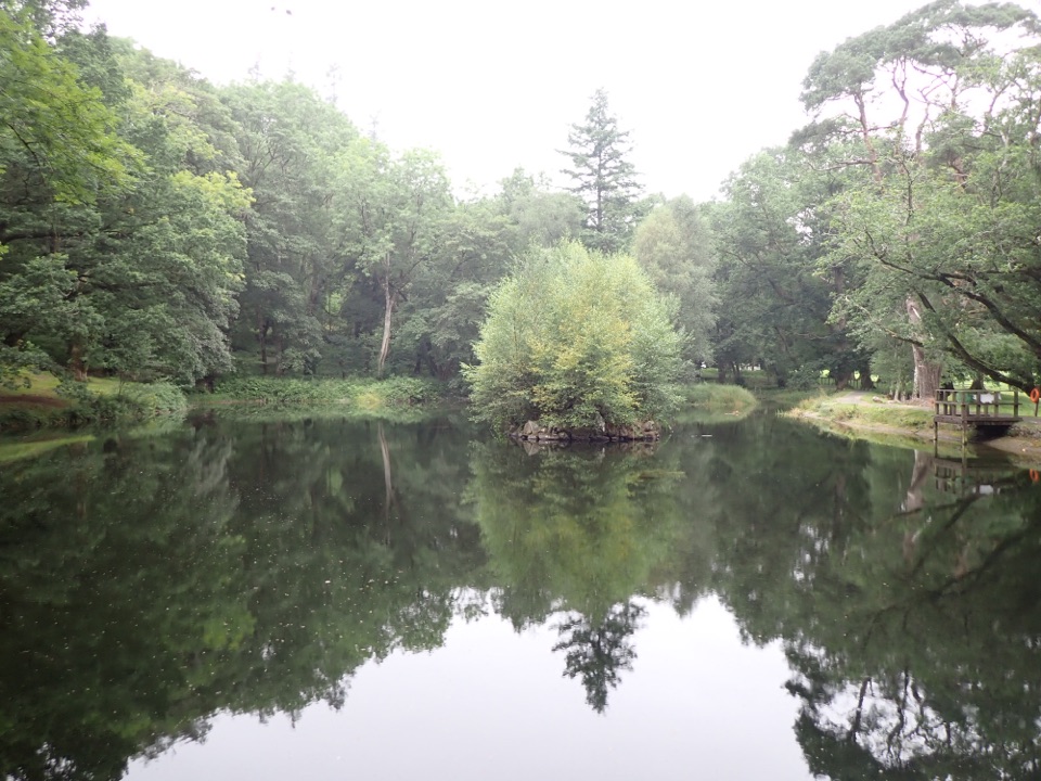 EasyOrnamental Lake Walk, Dolmelynllyn1 km · 45 min · 1 km awayLevel circuit to a restored ornamental lake with viewing platforms
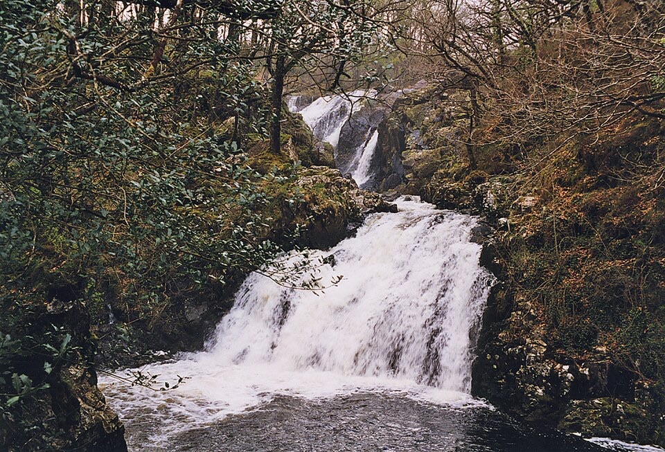 ModerateRhaeadr Ddu and Coed Ganllwyd Walk3.2 km · 1.5 hr · 1 km awayTwo cascades, mossy oak woodland and a Latin-inscribed rock in two miles
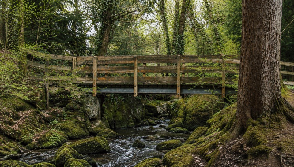 EasyForest Garden Discovery Trail0.6 km · 45 min · 1.7 km awaySteep little loop past world trees, a waterfall bridge and folklore posts
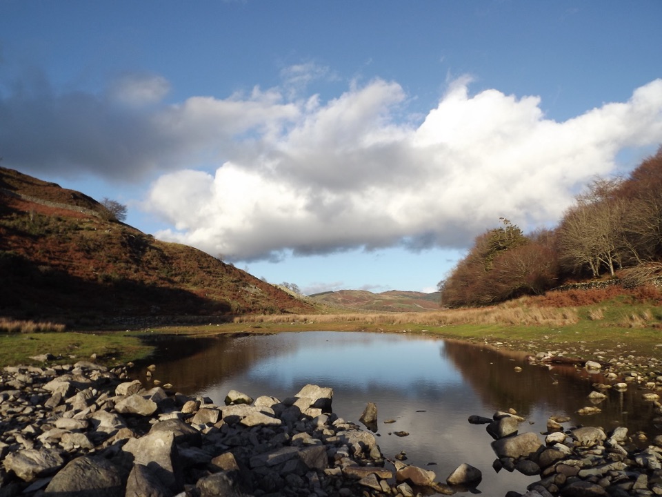 ModeratePrecipice Walk5.3 km · 2 hr · 2.8 km awayHigh-level circuit above the Mawddach with lake, oaks and mountain views
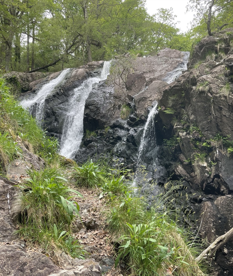 Sight · 1.3 km awayRhaeadr Ddu (Black Falls)Two mossy cascades drop about 60 feet through ancient oak woodland
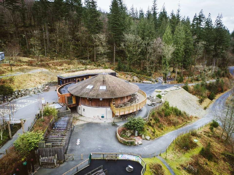 Visitor center · 3.6 km awayCoed y Brenin Visitor CentreBritain’s first purpose-built mountain-bike centre, now a quiet trailhead
 Sight · 4 km awayCymer AbbeyThree medieval arches frame the Mawddach valley
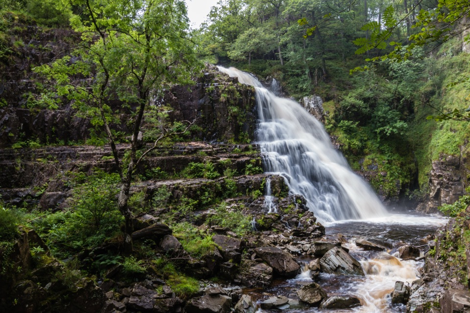 Sight · 4.2 km awayPistyll CainA thunderous forest waterfall reached by an easy-moderate river walk
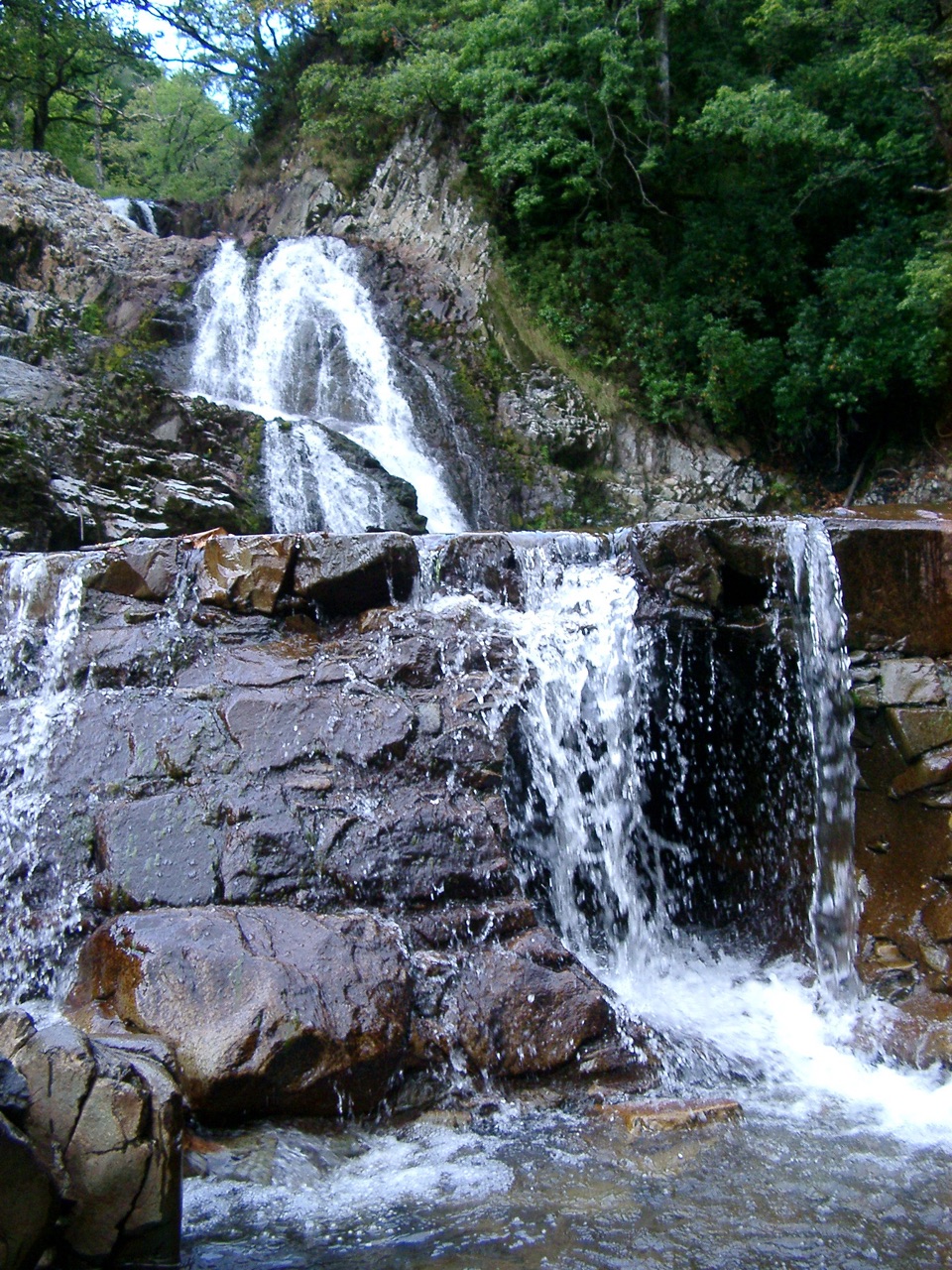 Sight · 4.2 km awayRhaeadr MawddachA rain-fed cascade beside old gold workings in deep woodland
 Sight · 5.6 km awayDolgellauGrey dolerite townscape and tangled lanes beneath Cader Idris
 Sight · 5.6 km awayTŷ SiamasA Welsh folk-music centre in a handsome former market hall
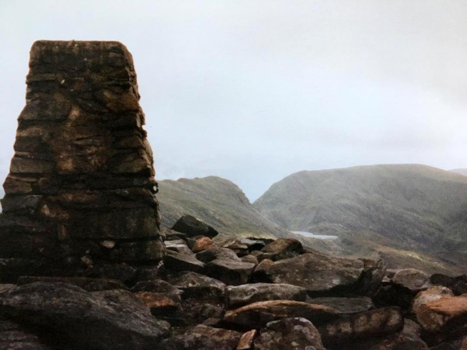 Sight · 9.2 km awayRhinog FawrA rough-edged summit with big views and a wilder feel.
Parkwolf’s Eryri ranking

The audio tour guide for the drive, plus offline maps, trails, and wildlife heatmaps for when the signal drops.




